セレリーナ/シュラリーナのおすすめウォーキング&ハイキングルート
4.8
(289)
3,266
ハイカー
113
ハイキング
セレリーナ/シュラリーナ周辺でのハイキングは、景色を満喫するのに最適な手段のひとつですが、適切なハイキングルートを見つけることは簡単ではありません。 セレリーナ/シュラリーナ周辺の人気ハイキング&ウォーキングコースを参考にすれば、行きたいルートをすぐに見つけられます。
最終更新日: 9月 26, 2026
5.0
(1)
12
ハイカー
5.95km
01:47
550m
Enjoy an easy 3.7-mile hike from Marguns mountain station to Celerina, featuring scenic Upper Engadin views and the unique Trais Fluors rock
4.7
(24)
175
ハイカー
28.4km
07:52
490m
490m
難しいハイキング. 標準以上のフィットネスレベルが必要です。 進みやすいルートです。あらゆるスキルレベルに適しています。

5.0
(2)
46
ハイカー
5.36km
01:52
280m
280m
中程度のハイキング. あらゆるフィットネスレベルに適しています。 全般的に進みやすいルートです。安定して歩行できる技術が必要です。
4.9
(13)
81
ハイカー
20.0km
07:49
1,130m
1,130m
難しいハイキング. 標準以上のフィットネスレベルが必要です。 安定して歩行できる技術、丈夫な靴、高標高地での登山経験が必要です。
5.0
(8)
83
ハイカー
7.32km
02:03
140m
140m
中程度のハイキング. ある程度のフィットネスレベルが必要です。 進みやすいルートです。あらゆるスキルレベルに適しています。
さらに多くのルートや他のユーザーのおすすめ情報を確認できます。
すでにアカウントをお持ちですか?
おすすめのツアーは他のkomootユーザーが実際に経験した何千ものアクティビティに基づいています。
無料アカウントで今日から始めよう
次の冒険が待っています。
セレリーナ/シュラリーナ周辺で人気
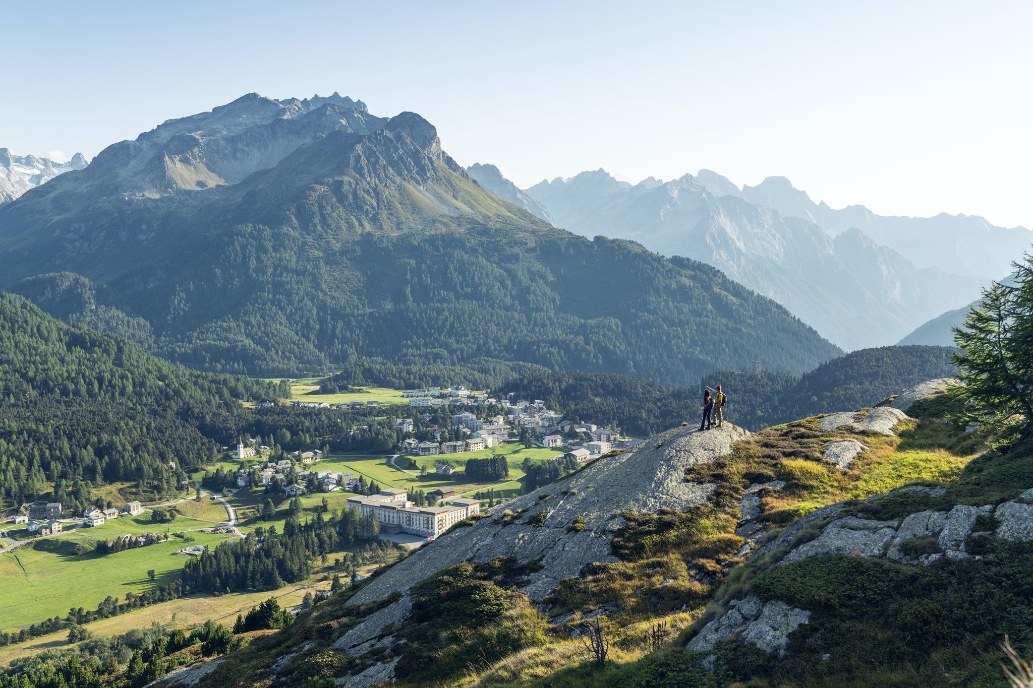
水と岩の間 - Via Engiadina
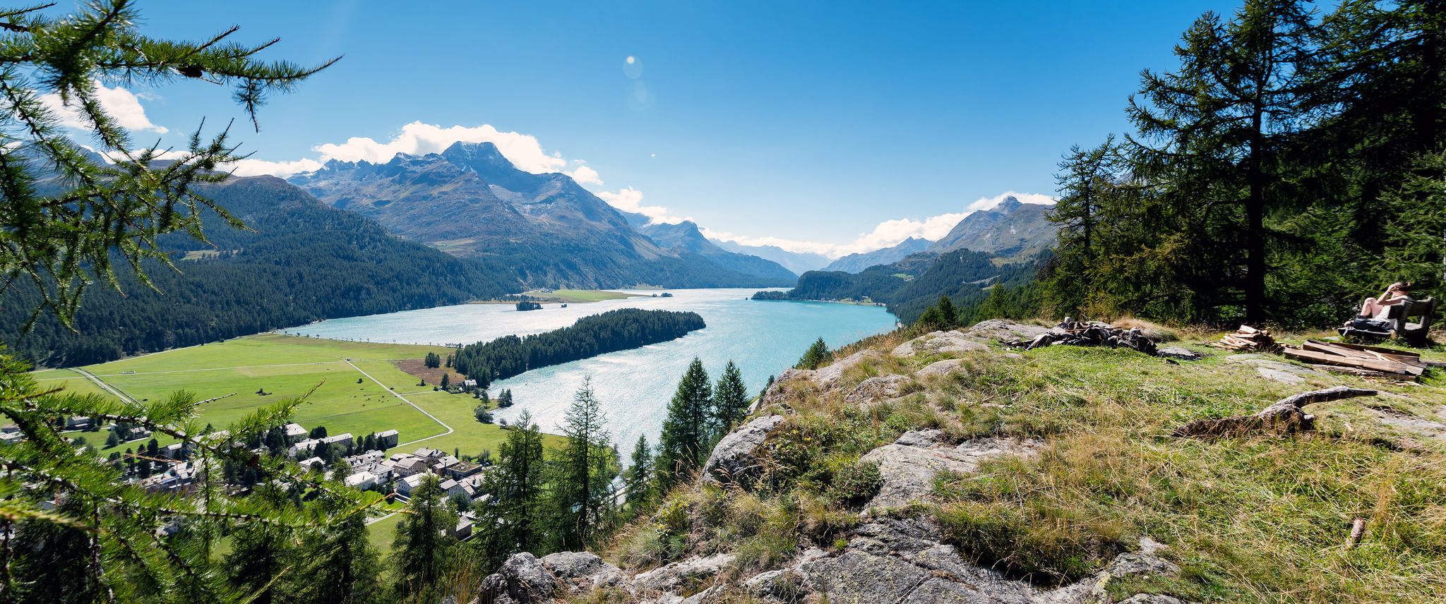
静かで感動的なエンガディンのハイキング – ヴィア・エンギアディナ
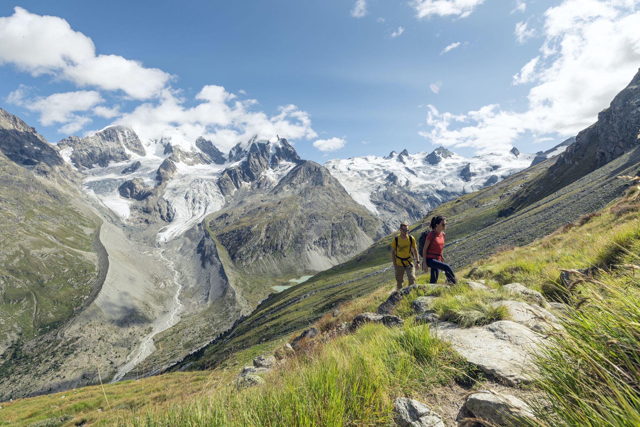
Via Engiadina and Bernina Tour – Engadineのロングディスタンスハイキング
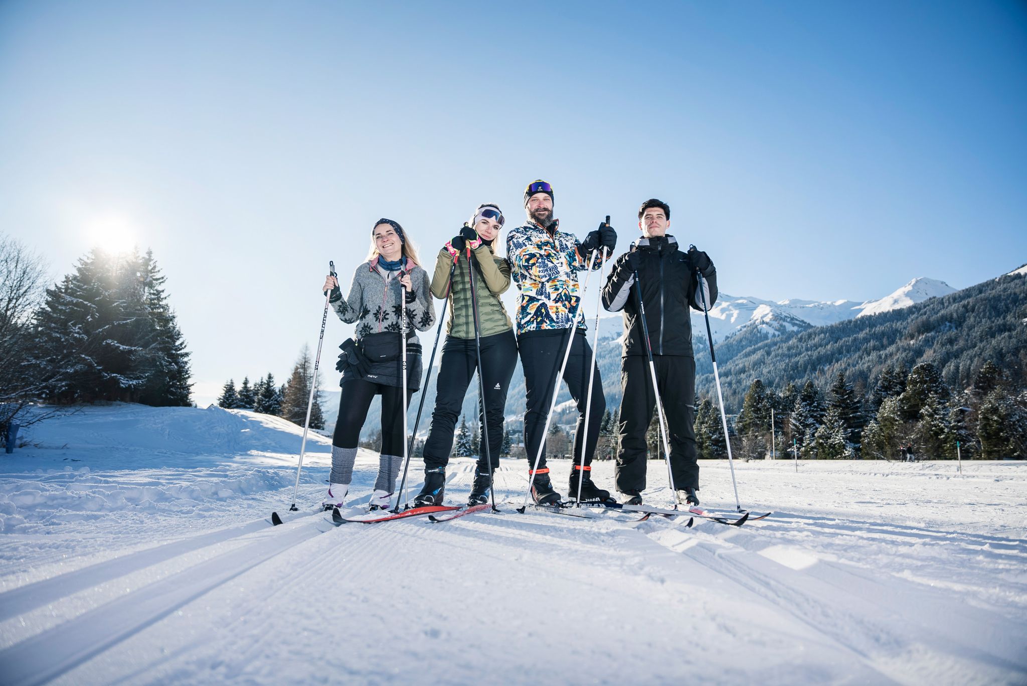
«Everyone runs long»: Cross-country ski trail tips from Graubünden
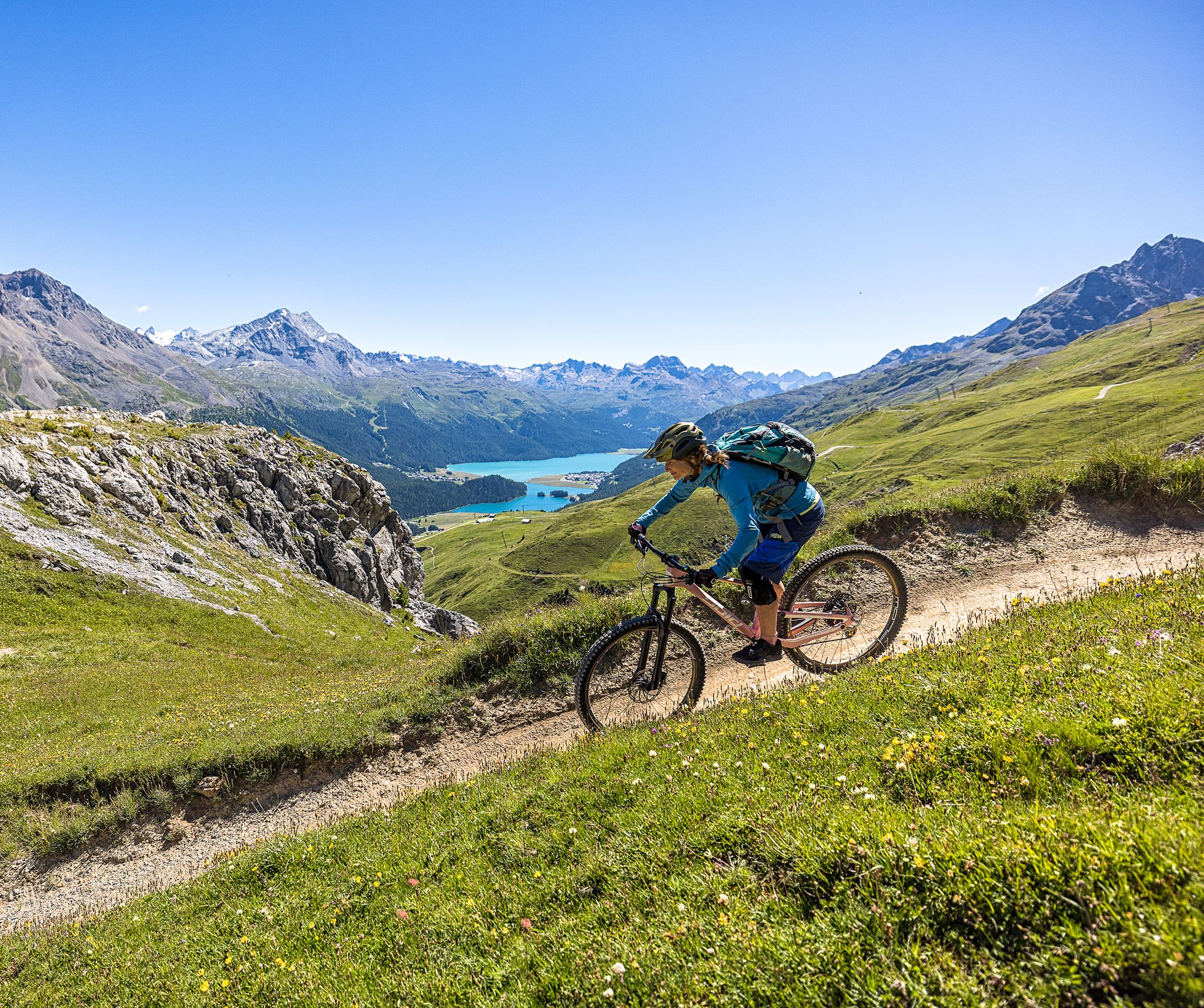
Trails with spectacular alpine panoramas – Engadin MTB region
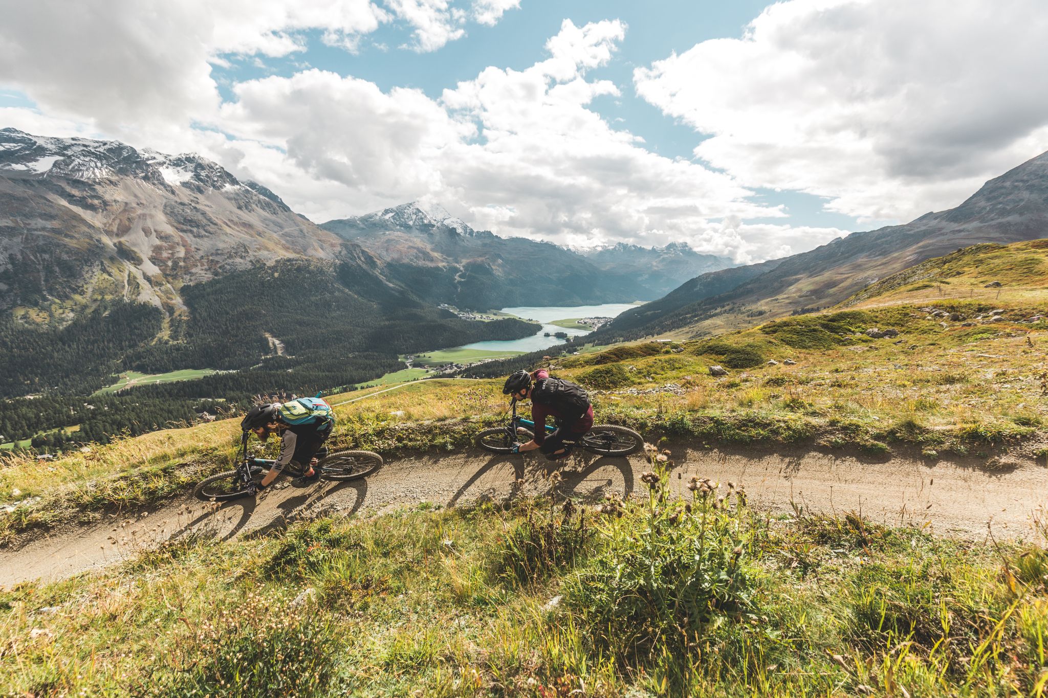
Go with the flow — bike trails in Switzerland’s Engadin valley
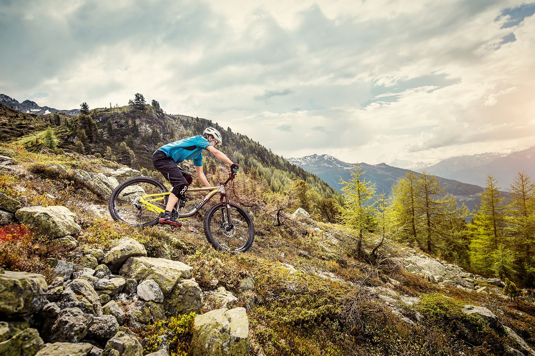
Made for mountain biking — Switzerland
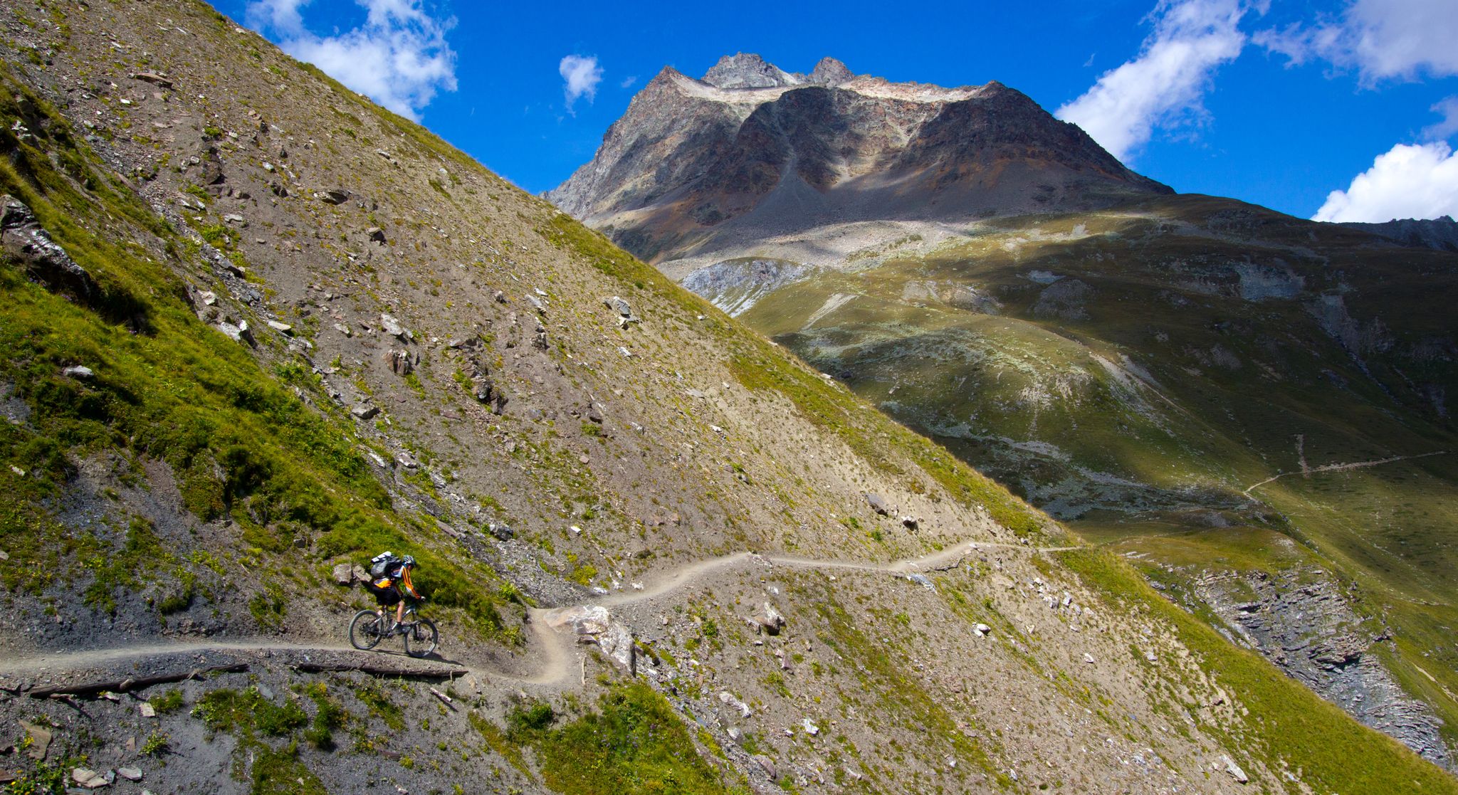
エンガディンのフロートレイル400キロメートル
セレリーナ/シュラリーナのMTBトレイル
セレリーナ/シュラリーナのロードバイクルート
セレリーナ/シュラリーナでのの他の冒険


コミュニティからのヒント

Alpine mountain tour over the Biancograt or the Spallagrat to the only four-thousander in the Eastern Alps (east of the Gotthard).
0
0

素晴らしい展望ポイント、ケーブルカーはそれほど安くはありません。
0
0

Once you are down, if time permits, move into the valley towards the mouth of the glacier.
1
0

Spectacular places. Thank you for sharing the photos. 🙏
0
0

The Biancograt: The striking, white and razor-sharp ridge that stretches up to the summit on the left of the picture is the legendary Biancograt (the "Stairway to Heaven"), which is clearly visible from this side of the valley.
0
0

komootモバイルアプリでインスピレーションを得よう


さらに探索
他の地域の最高のハイキングを見てみましょう。
