タルレンツのおすすめ登山&山歩きルート
4.7
(505)
3,873
ハイカー
122
ハイキング
イムストの山々をもっと探索しませんか?このガイドでご紹介するのは、komootがタルレンツでの登山&山歩きのコレクション全体を評価して選び抜いた、このエリアの人気ルートです。あなたに合ったルートを見つけるには、他のユーザーがアップロードした役立つ情報や写真を閲覧し、クリック操作で簡単に表示できる詳細なデータを参考にしましょう。タルレンツでの次の冒険にぴったりの登山&山歩きルートが見つかるはずです。
最終更新日: 10月 11, 2026
5.0
(4)
73
ハイカー
2.15km
01:32
220m
220m
難しい登山ルート. あらゆるフィットネスレベルに適しています。 安定して歩行できる技術、丈夫な靴、高標高地での登山経験が必要です。
4.9
(8)
44
ハイカー
13.6km
07:13
1,140m
1,140m
難しい登山ルート. 標準以上のフィットネスレベルが必要です。 安定して歩行できる技術、丈夫な靴、高標高地での登山経験が必要です。

4.3
(3)
31
ハイカー
8.29km
04:50
830m
830m
難しい登山ルート. ある程度のフィットネスレベルが必要です。 安定して歩行できる技術、丈夫な靴、高標高地での登山経験が必要です。
5.0
(1)
22
ハイカー
5.46km
01:48
250m
250m
初級者向け登山ルート. あらゆるフィットネスレベルに適しています。 進みやすいルートです。あらゆるスキルレベルに適しています。
4.5
(2)
18
ハイカー
11.9km
06:44
960m
960m
難しい登山ルート. 標準以上のフィットネスレベルが必要です。 安定して歩行できる技術、丈夫な靴、高標高地での登山経験が必要です。
さらに多くのルートや他のユーザーのおすすめ情報を確認できます。
すでにアカウントをお持ちですか?
おすすめのツアーは他のkomootユーザーが実際に経験した何千ものアクティビティに基づいています。
無料アカウントで今日から始めよう
次の冒険が待っています。
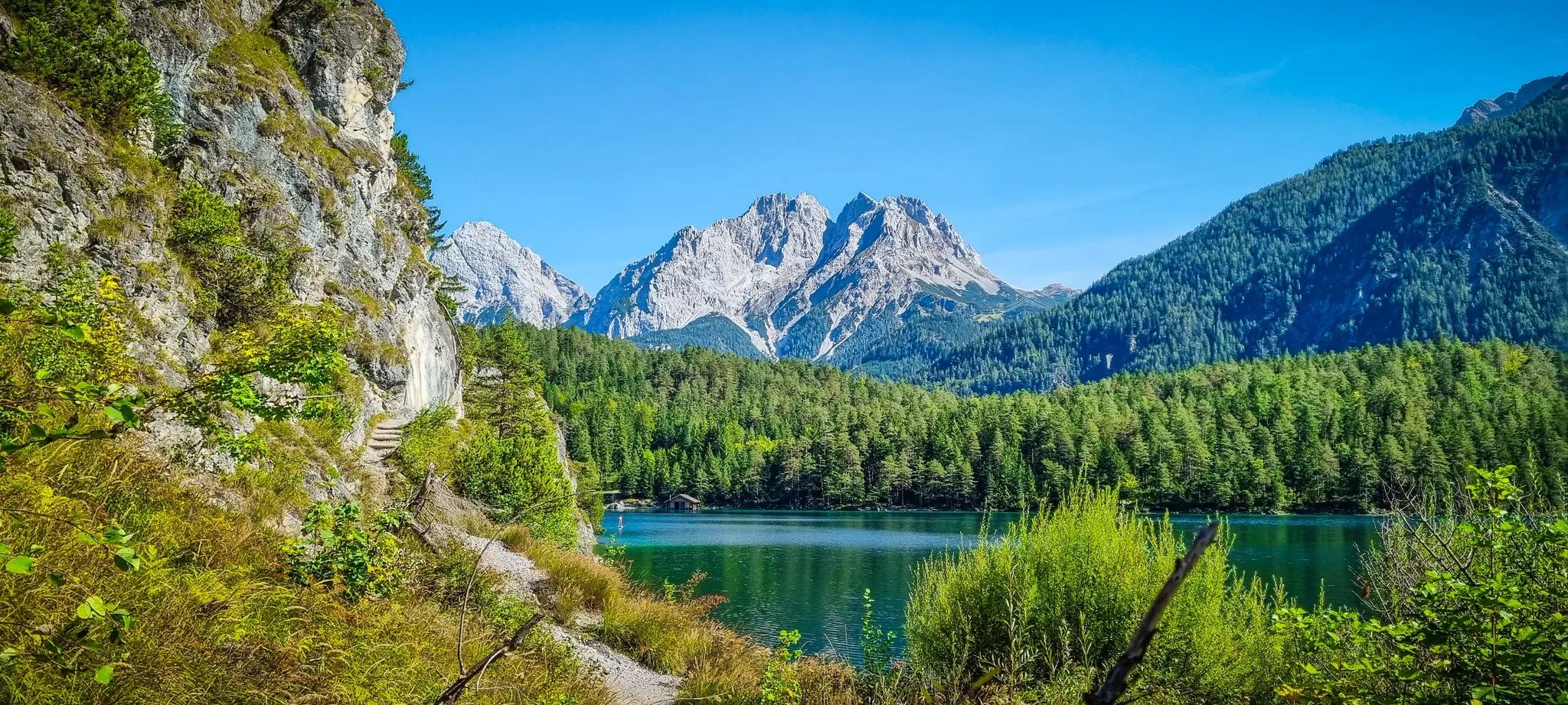
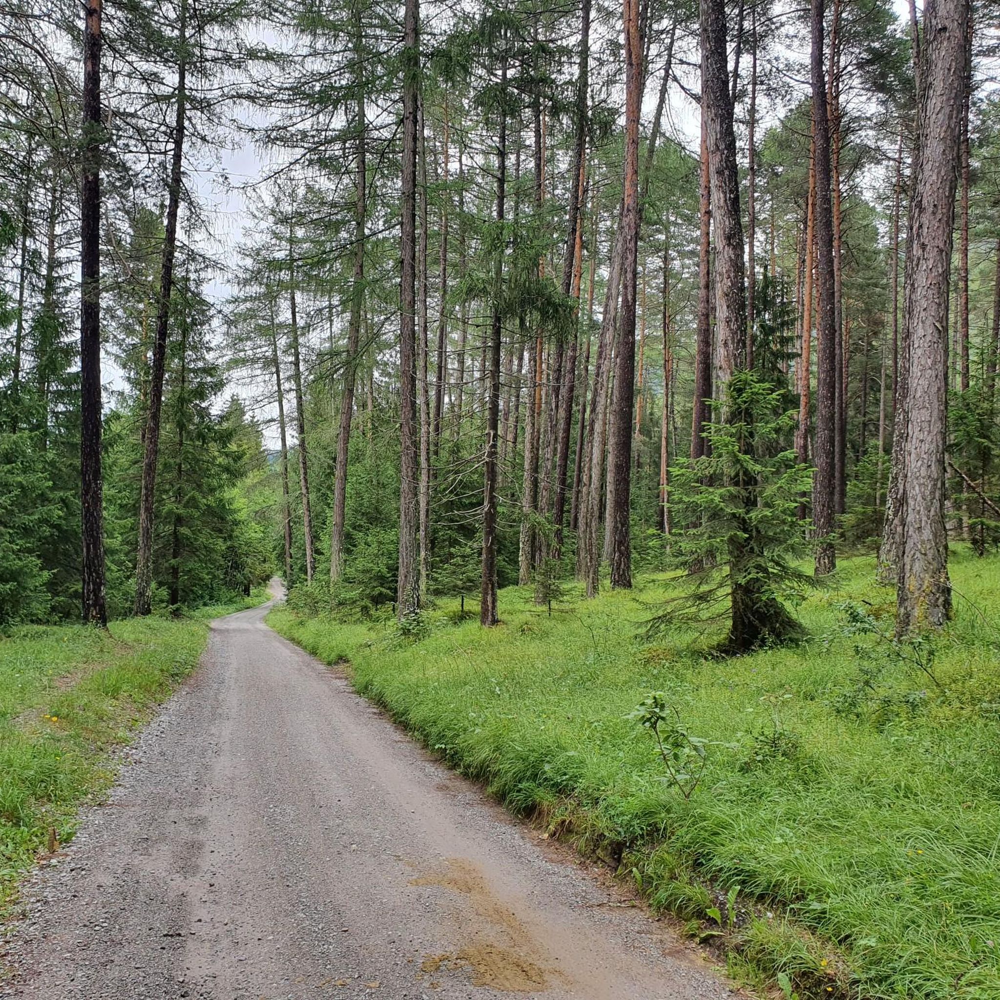
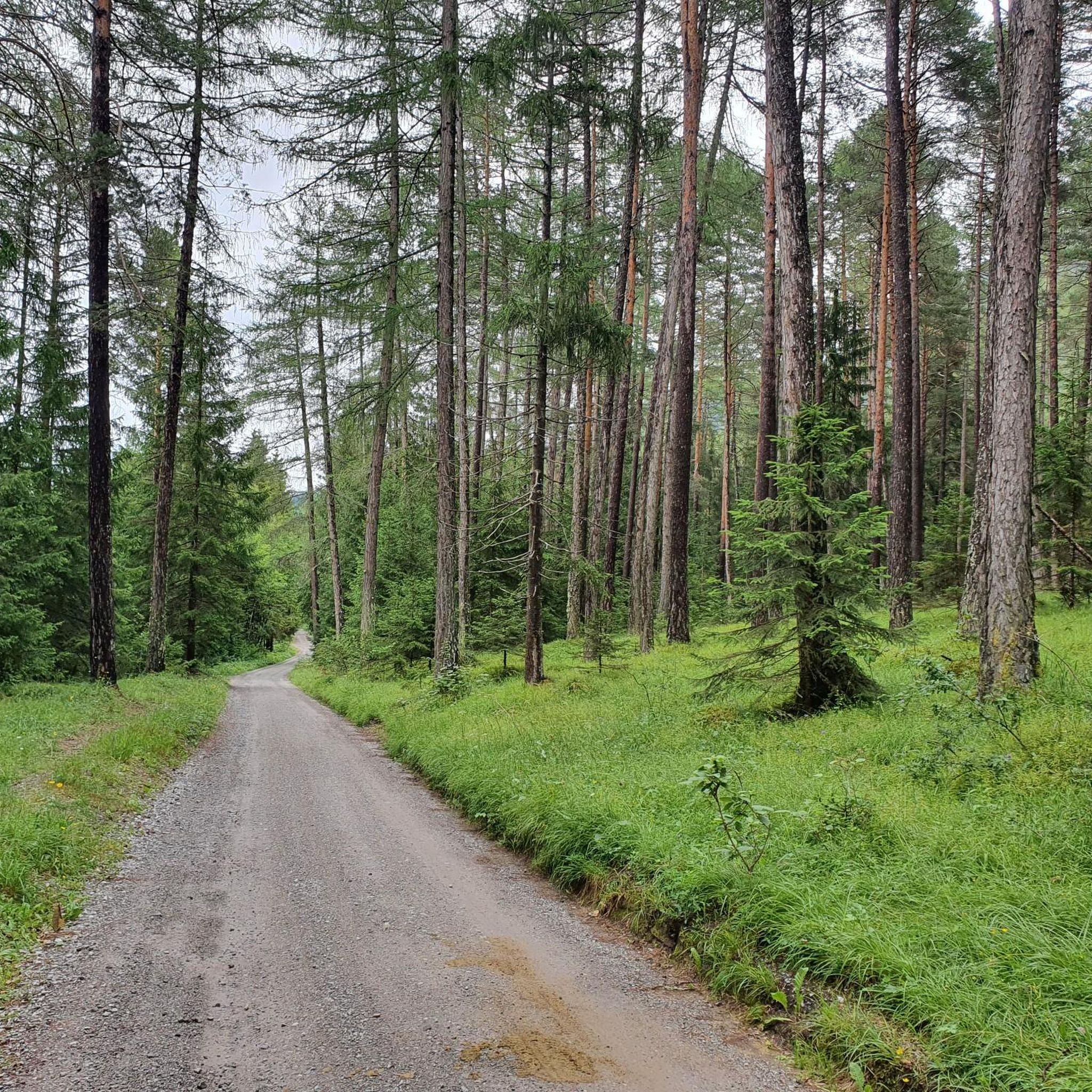
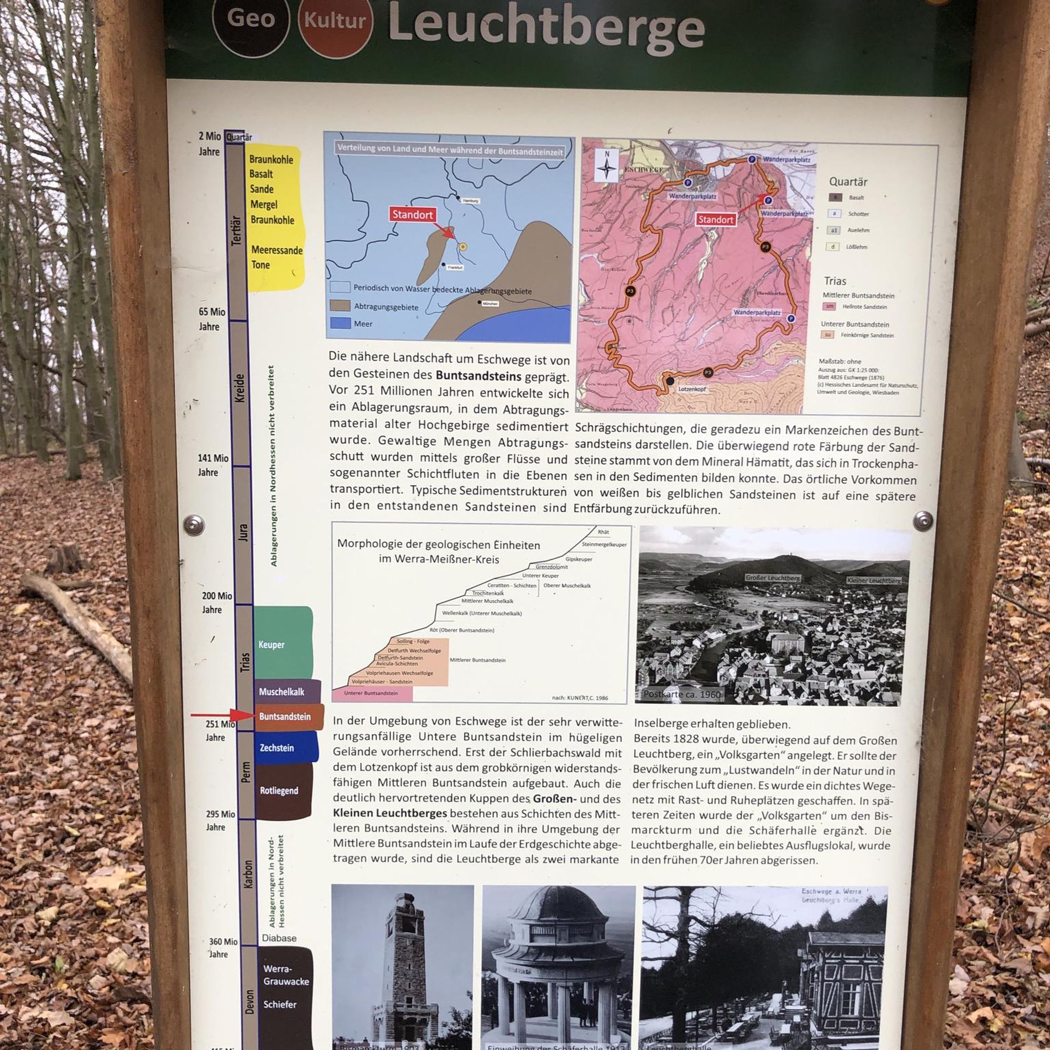

コミュニティからのヒント

Adlersteigのロープブリッジは、クライミングルートの終盤に、変化に富んだエキサイティングなセクションをもう一度提供します。
0
0
Leiteクライミングルートは、滑らかな岩盤、人工的なステップアシストのない自然なクライミングセクション、そしてC/Dまでのいくつかのセクションが特徴です。ハイライトには、Nassereithを見下ろすMarendplatzlとAdlerstegの吊り橋が含まれます。
0
0


道中には息をのむような景色が広がり、ケルメンからスタートしました。駐車料金は2ユーロです。 道はよく整備されており、最後の上の部分は足元が確かで経験豊富なハイカー向けですが、3つのロープセクションのおかげで十分に可能です。3.5時間という時間は親切な目安ですが、実際には4時間かかります。しかし、全体的には非常に美しいハイキングでした。
0
0

On the descent from the Knittelkarspitze via the Schönjöchl to Namlos, the lower third of the trail is poorly marked, so I deviated from the regular trail in the mountain pine area and had to find an alternative route across a very steep mountain meadow down to Namlos. Werner Storch from Egg in the Bregenzerwald
1
0

A picturesque place, beautifully situated in the Namlos Valley. The place name "Namlos" is probably derived from an early settler named Amel. The short form of Amelfrid or Amalung. In 1427 it was still called "in Amles", then the N was added to the name through incorrect hyphenation. So the place was called Namles for a while and officially became Namlos. Interesting: On October 8, 1930, Namlos was at the epicenter of an earthquake known as the "Namlos earthquake". 16 tremors measuring 5.3 on the Richter scale shook the village. 31 of 47 chimneys collapsed. The starting point of the earthquake is believed to be under the nearby Knittelkarspitze. Namlos has had its own earthquake measuring station since 2012.
2
0

komootモバイルアプリでインスピレーションを得よう


さらに探索
他の地域の最高の登山ハイキング & ルートを見てみましょう。
