ミエミングのおすすめ登山&山歩きルート
4.8
(1203)
9,755
ハイカー
246
ハイキング
イムストの山々をもっと探索しませんか?このガイドでご紹介するのは、komootがミエミングでの登山&山歩きのコレクション全体を評価して選び抜いた、このエリアの人気ルートです。あなたに合ったルートを見つけるには、他のユーザーがアップロードした役立つ情報や写真を閲覧し、クリック操作で簡単に表示できる詳細なデータを参考にしましょう。ミエミングでの次の冒険にぴったりの登山&山歩きルートが見つかるはずです。
最終更新日: 10月 11, 2026
5.0
(8)
48
ハイカー
6.03km
05:05
680m
680m
難しい登山ルート. 標準以上のフィットネスレベルが必要です。 安定して歩行できる技術、丈夫な靴、高標高地での登山経験が必要です。
5.0
(4)
51
ハイカー
9.37km
05:03
800m
800m
難しい登山ルート. 標準以上のフィットネスレベルが必要です。 安定して歩行できる技術、丈夫な靴、高標高地での登山経験が必要です。

5.0
(2)
45
ハイカー
4.98km
04:44
680m
680m
難しい登山ルート. ある程度のフィットネスレベルが必要です。 安定して歩行できる技術、丈夫な靴、高標高地での登山経験が必要です。
5.0
(1)
29
ハイカー
14.9km
06:16
790m
790m
難しい登山ルート. 標準以上のフィットネスレベルが必要です。 安定して歩行できる技術、丈夫な靴、高標高地での登山経験が必要です。
25
ハイカー
13.8km
04:29
590m
590m
中程度の登山ルート. ある程度のフィットネスレベルが必要です。 進みやすいルートです。あらゆるスキルレベルに適しています。
さらに多くのルートや他のユーザーのおすすめ情報を確認できます。
すでにアカウントをお持ちですか?
おすすめのツアーは他のkomootユーザーが実際に経験した何千ものアクティビティに基づいています。
無料アカウントで今日から始めよう
次の冒険が待っています。
ミエミング周辺で人気
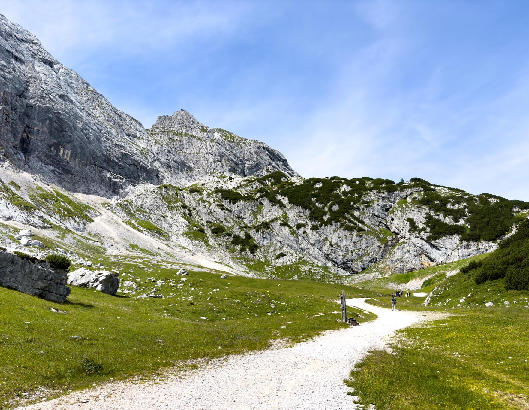
Zugspitz Ultratrail – 3日間でドイツ最高峰

クラシックアルプスの交差点から遠く - L1 ガルミッシュからブレッシャまで
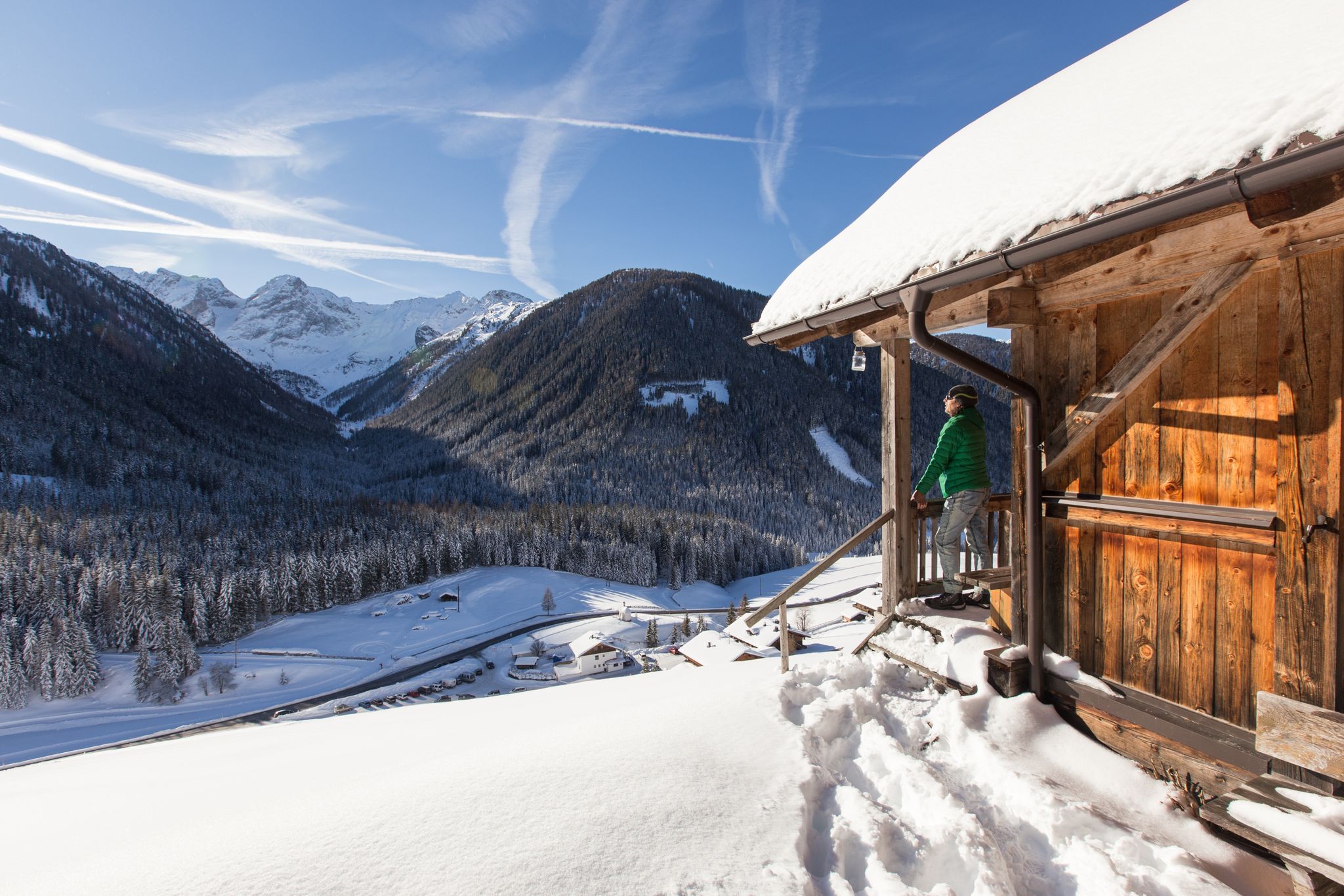
Winter highlights in Tyrol for everyone's taste
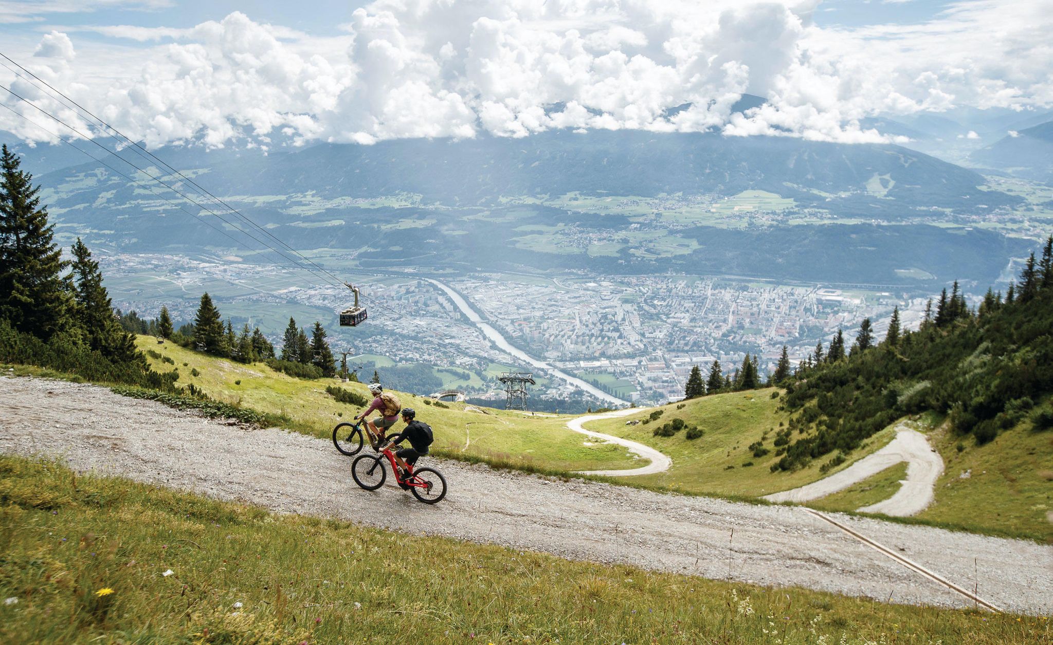
Get out of the city, get on the trail — welcome to Innsbruck!
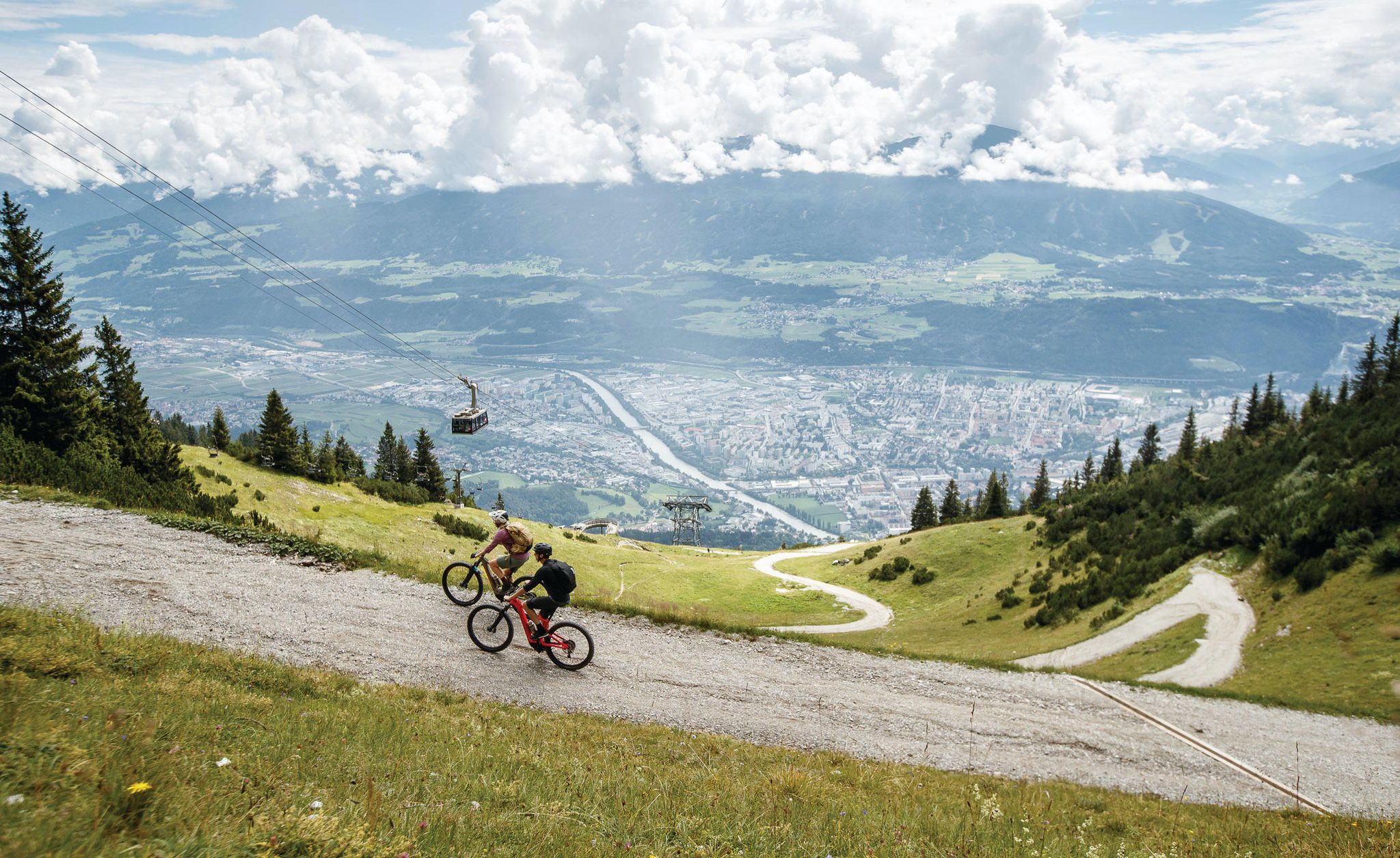
Dream trails as far as your tires will take you — biking in Innsbruck!
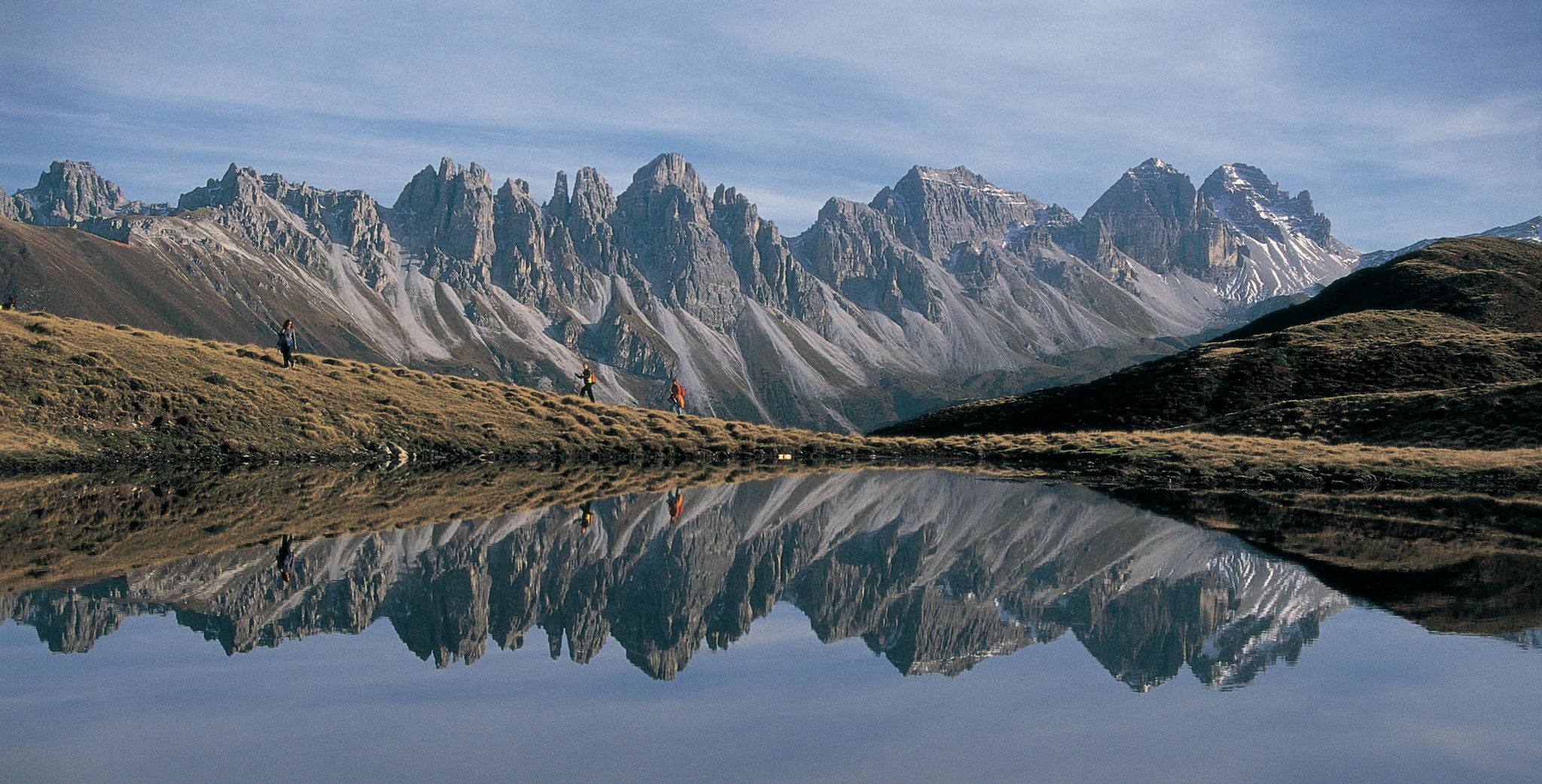
Leaving the city & up into the mountains – hiking around Innsbruck
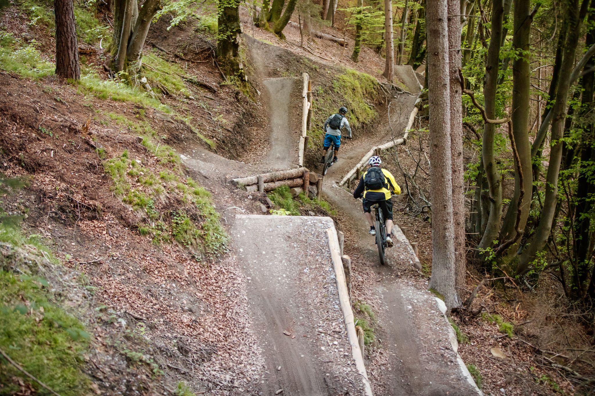
Get out of the city, get on the trail — welcome to Innsbruck!
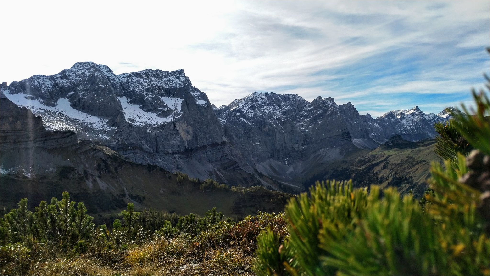
Karwendel & Wetterstein – 登山の先駆者の地での山小屋から山小屋へ
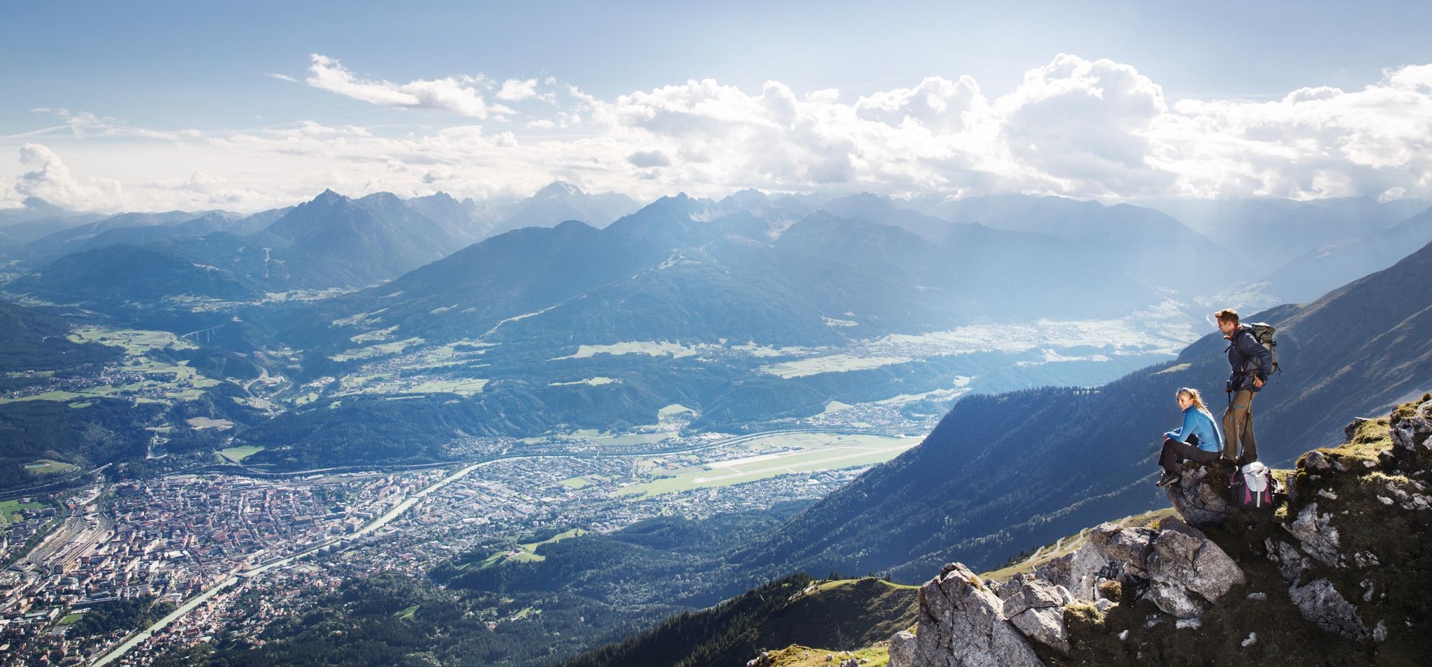
De stad uit, de bergen in – Wandelen rond Innsbruck
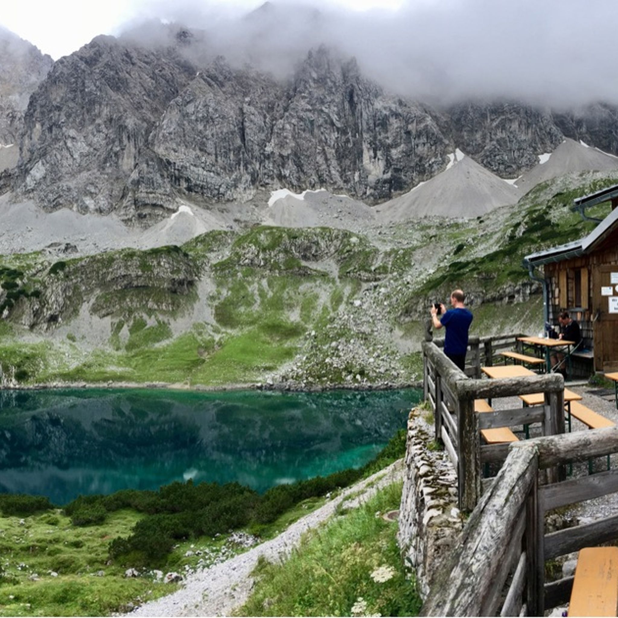
ミエミングでのハイキング
ミエミングでのの他の冒険


コミュニティからのヒント

It's really impressive when you walk up to the top!
2
0
It's really impressive when you reach the top on foot!
2
0

The Hinterer Tajakopf is a worthwhile summit, easily accessible from the Coburger Hütte, but only recommended for experienced and sure-footed climbers. Shortly before the Hinterer Tajatörl, the path to the summit branches off. The ascent leads through steep, partly exposed terrain up to the 2,408-meter-high eastern summit, the highest point, marked by a small wooden cross. Just a few meters away stands a larger summit cross with a summit register. From the summit, a stunning view of the Drachensee, the Mieminger Range, and the Wetterstein massif opens up. Those who like can also combine the ascent with the Coburger Klettersteig (German/English) and the Vorderer Tajakopf.
2
0

A fantastic summit tour. Strenuous, rewarding, and dangerous. Suitable for a 2nd grade climb. Prone to rockfall, but the rock is fantastic. The T5 ascent via the Coburger Hut is incredibly fun. From there, it's about a 90-minute walk to the summit. The descent is characterized by a lot of scree. Nevertheless, the tour is easily doable and highly recommended. ☺️🙏 You don't need a rope or hiking boots. Good trail running shoes will do, provided you have some skill.
0
1

I wonder who this hut belongs to? It's somewhere in the middle of nowhere. In any case, you get a spectacular view 👀 of the Reintal Valley 😍
0
0

Via ferrata with significant difficulties - definitely not a hiking trail/highlight.
1
0
Much quieter than on the Vorderer Tajakopf and the improvised wooden cross on the actual summit also has its own special charm.
4
0

komootモバイルアプリでインスピレーションを得よう


さらに探索
他の地域の最高の登山ハイキング & ルートを見てみましょう。
