オーバーパーファスのおすすめ登山&山歩きルート
4.8
(219)
2,830
ハイカー
98
ハイキング
インスブルックの山々をもっと探索しませんか?このガイドでご紹介するのは、komootがオーバーパーファスでの登山&山歩きのコレクション全体を評価して選び抜いた、このエリアの人気ルートです。あなたに合ったルートを見つけるには、他のユーザーがアップロードした役立つ情報や写真を閲覧し、クリック操作で簡単に表示できる詳細なデータを参考にしましょう。オーバーパーファスでの次の冒険にぴったりの登山&山歩きルートが見つかるはずです。
最終更新日: 10月 11, 2026
4.3
(4)
53
ハイカー
16.4km
07:33
1,240m
1,240m
難しい登山ルート. 標準以上のフィットネスレベルが必要です。 安定して歩行できる技術、丈夫な靴、高標高地での登山経験が必要です。
4.5
(2)
48
ハイカー
8.14km
04:01
670m
670m
中程度の登山ルート. ある程度のフィットネスレベルが必要です。 全般的に進みやすいルートです。安定して歩行できる技術が必要です。

23
ハイカー
12.6km
05:22
1,000m
1,000m
難しい登山ルート. 標準以上のフィットネスレベルが必要です。 全般的に進みやすいルートです。安定して歩行できる技術が必要です。
5.0
(1)
25
ハイカー
8.43km
04:12
930m
930m
難しい登山ルート. 標準以上のフィットネスレベルが必要です。 全般的に進みやすいルートです。安定して歩行できる技術が必要です。
5.0
(1)
17
ハイカー
11.0km
06:02
1,000m
1,000m
難しい登山ルート. 標準以上のフィットネスレベルが必要です。 安定して歩行できる技術、丈夫な靴、高標高地での登山経験が必要です。
さらに多くのルートや他のユーザーのおすすめ情報を確認できます。
すでにアカウントをお持ちですか?
おすすめのツアーは他のkomootユーザーが実際に経験した何千ものアクティビティに基づいています。


コミュニティからのヒント


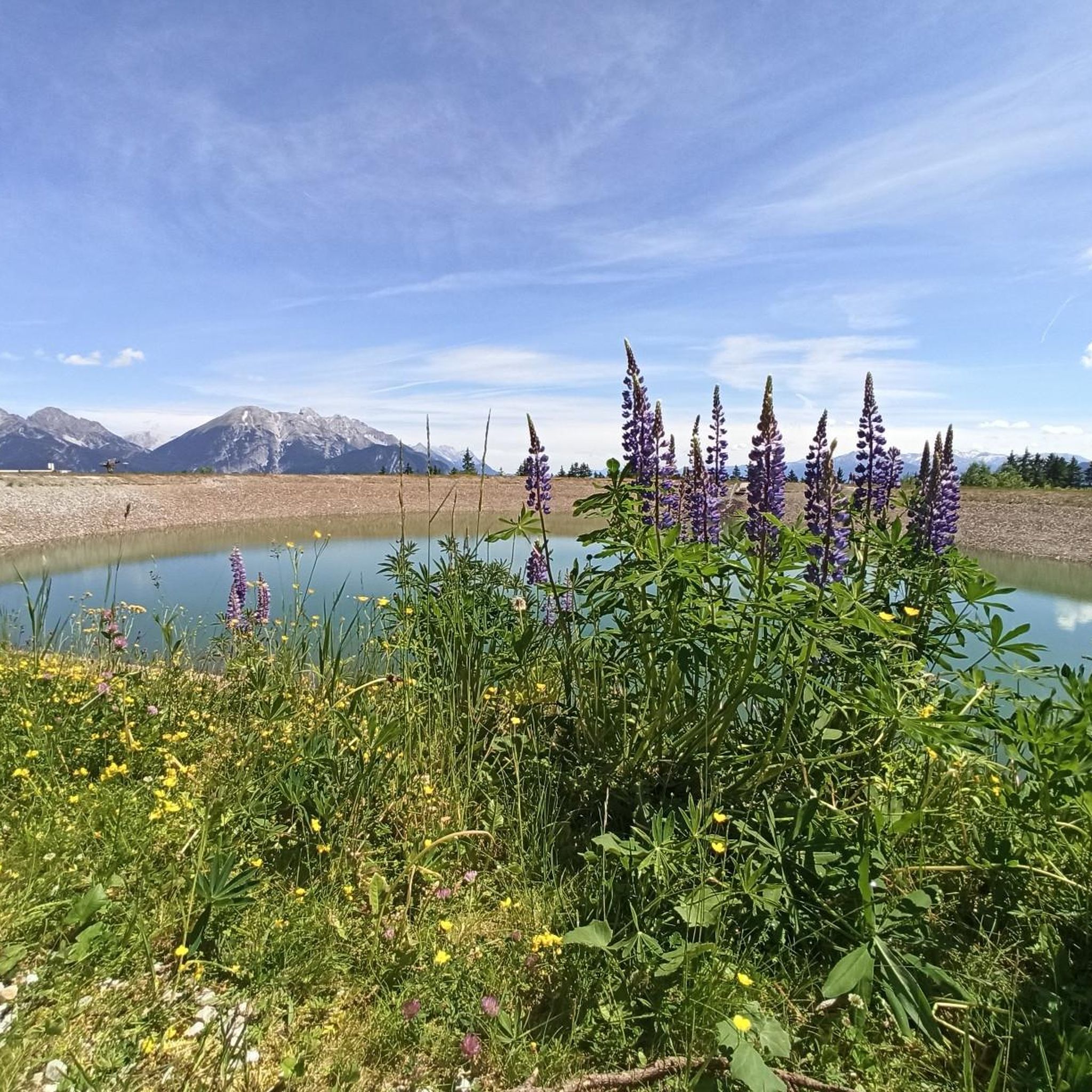
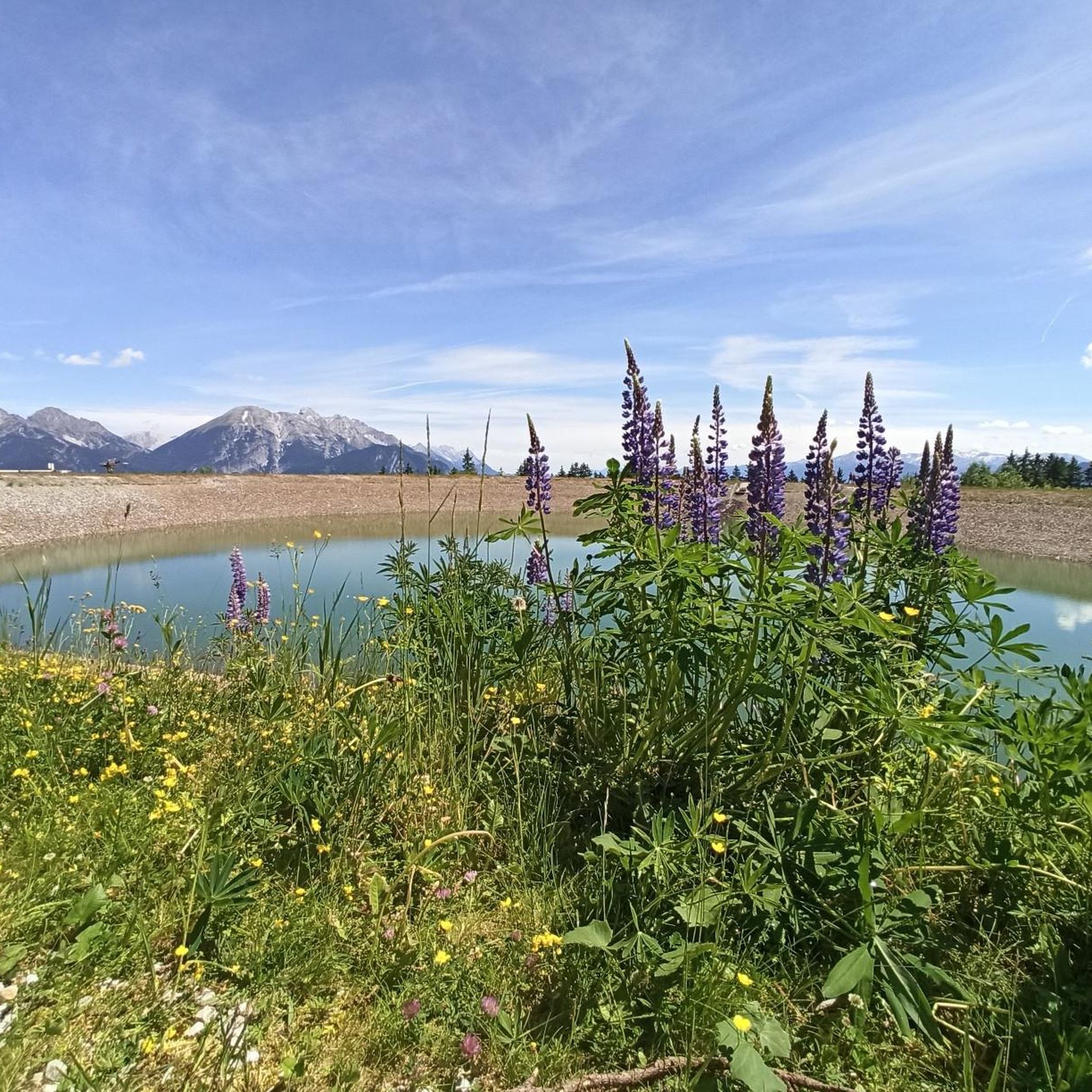
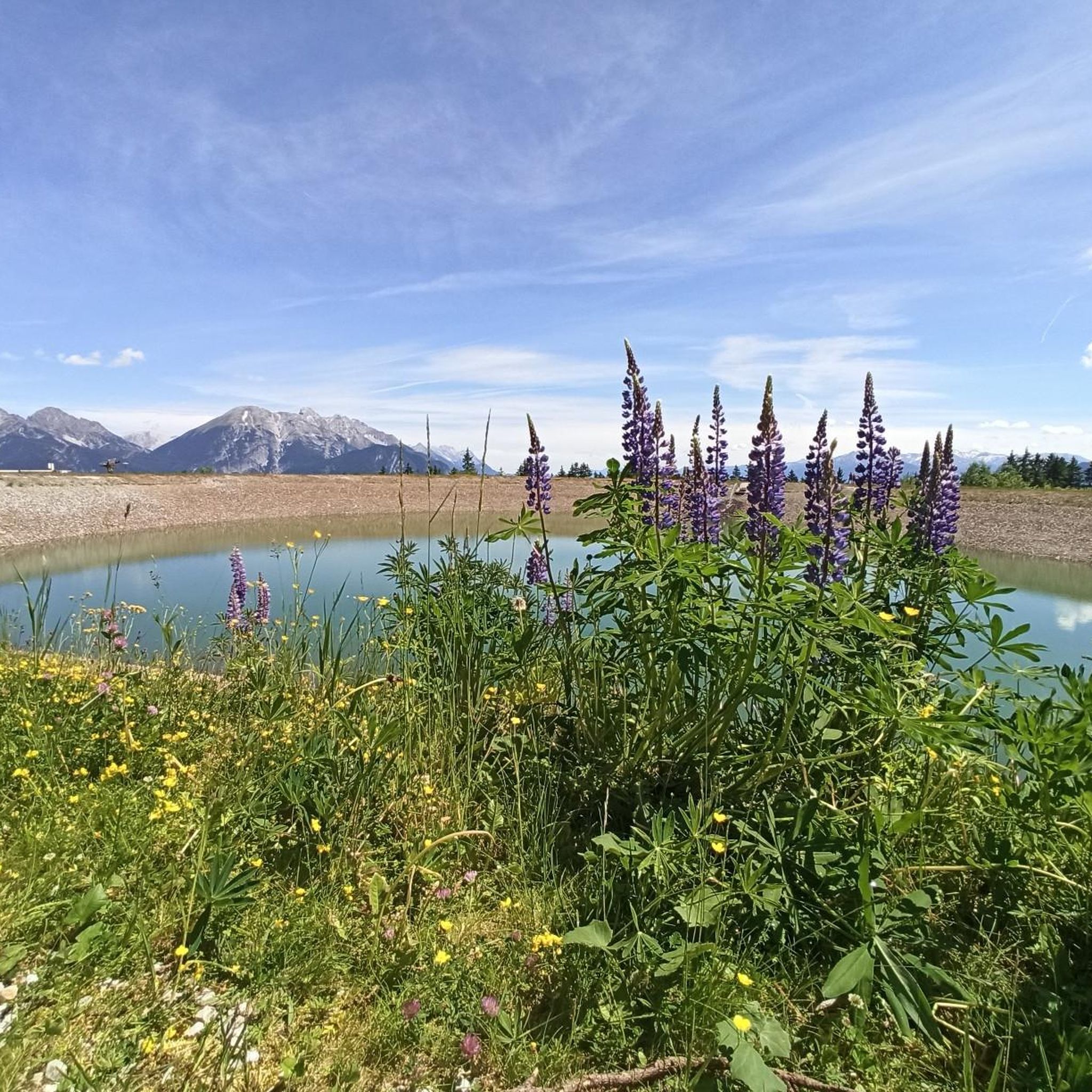
Very beautiful reflections in the water, but definitely plan for the midday sun, as the optimal photo won't look quite as good then ☺️
0
0

The lake isn't (!) ideal for swimming, even after a strenuous climb – pack plenty of drinking water! The lake has little to no natural inflow and is therefore very dirty. However, in calm conditions, it offers beautiful photo opportunities, for example, of the reflection of the Kalkkögel in the afternoon/evening sun.
1
0
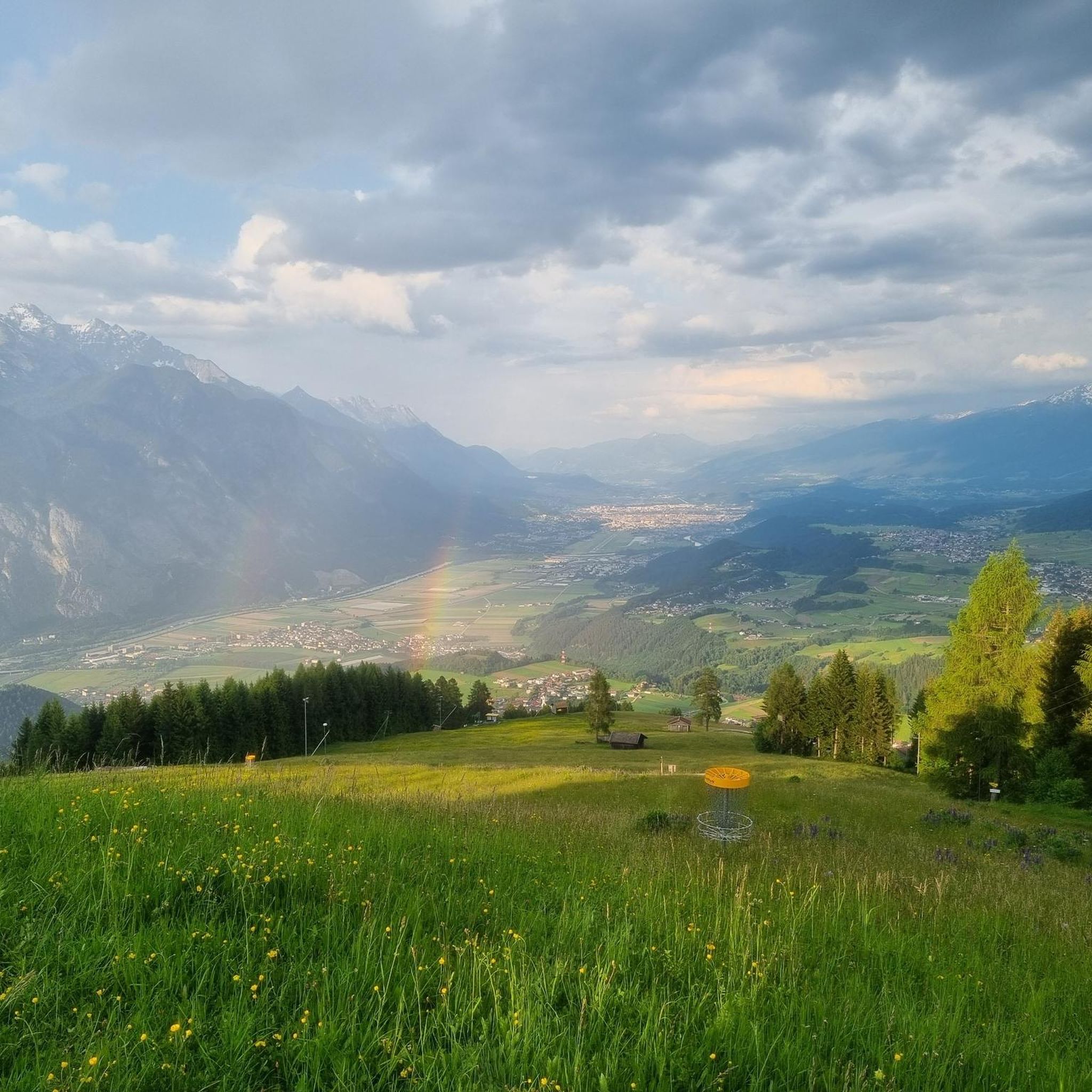
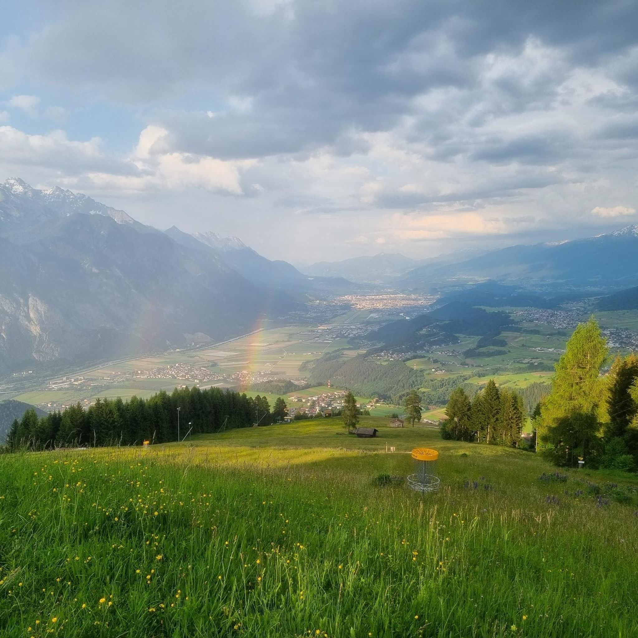
A truly unique view of Innsbruck, the Inn Valley, the Zugspitze and Norkette ranges, the Patscherkofel, and more. It's especially lovely to share the meadow with cows and horses! Even after a strenuous climb, the lake isn't (!) ideal for swimming – pack plenty of drinking water! The lake has little or no natural inflow and is therefore very dirty.
0
0

Beautiful alpine pasture, view of the Rangger Köpfl from behind.
0
0

On the southern shore of the lake stands the land art structure Apollontempel am Hundstalsee, built between 1986 and 2006.
0
0

komootモバイルアプリでインスピレーションを得よう


さらに探索
他の地域の最高の登山ハイキング & ルートを見てみましょう。
