ホール-ヴァッテンスのおすすめ登山&山歩きルート
4.7
(86)
1,166
ハイカー
56
ハイキング
インスブルックの山々をもっと探索しませんか?このガイドでご紹介するのは、komootがホール-ヴァッテンスでの登山&山歩きのコレクション全体を評価して選び抜いた、このエリアの人気ルートです。あなたに合ったルートを見つけるには、他のユーザーがアップロードした役立つ情報や写真を閲覧し、クリック操作で簡単に表示できる詳細なデータを参考にしましょう。ホール-ヴァッテンスでの次の冒険にぴったりの登山&山歩きルートが見つかるはずです。
最終更新日: 10月 11, 2026
4.8
(18)
182
ハイカー
12.9km
07:23
1,280m
1,280m
難しい登山ルート. 標準以上のフィットネスレベルが必要です。 安定して歩行できる技術、丈夫な靴、高標高地での登山経験が必要です。
4.0
(7)
132
ハイカー
4.59km
02:46
630m
630m
難しい登山ルート. ある程度のフィットネスレベルが必要です。 安定して歩行できる技術、丈夫な靴、高標高地での登山経験が必要です。

4.6
(8)
99
ハイカー
7.02km
04:07
610m
600m
難しい登山ルート. ある程度のフィットネスレベルが必要です。 安定して歩行できる技術、丈夫な靴、高標高地での登山経験が必要です。
3.0
(1)
69
ハイカー
8.46km
04:20
800m
800m
中程度の登山ルート. ある程度のフィットネスレベルが必要です。 全般的に進みやすいルートです。安定して歩行できる技術が必要です。
4.9
(16)
52
ハイカー
8.06km
02:49
470m
470m
中程度の登山ルート. ある程度のフィットネスレベルが必要です。 全般的に進みやすいルートです。安定して歩行できる技術が必要です。
5.0
(2)
50
ハイカー
9.36km
05:00
920m
920m
難しい登山ルート. 標準以上のフィットネスレベルが必要です。 安定して歩行できる技術、丈夫な靴、高標高地での登山経験が必要です。
5.0
(1)
46
ハイカー
7.40km
03:33
610m
610m
中程度の登山ルート. ある程度のフィットネスレベルが必要です。 全般的に進みやすいルートです。安定して歩行できる技術が必要です。
4.2
(6)
30
ハイカー
4.16km
03:30
590m
590m
難しい登山ルート. ある程度のフィットネスレベルが必要です。 安定して歩行できる技術、丈夫な靴、高標高地での登山経験が必要です。
2.0
(1)
41
ハイカー
13.6km
05:47
1,040m
1,040m
難しい登山ルート. 標準以上のフィットネスレベルが必要です。 全般的に進みやすいルートです。安定して歩行できる技術が必要です。
5.0
(4)
32
ハイカー
7.68km
03:53
620m
610m
難しい登山ルート. ある程度のフィットネスレベルが必要です。 安定して歩行できる技術、丈夫な靴、高標高地での登山経験が必要です。
さらに多くのルートや他のユーザーのおすすめ情報を確認できます。
すでにアカウントをお持ちですか?
おすすめのツアーは他のkomootユーザーが実際に経験した何千ものアクティビティに基づいています。
無料アカウントで今日から始めよう
次の冒険が待っています。
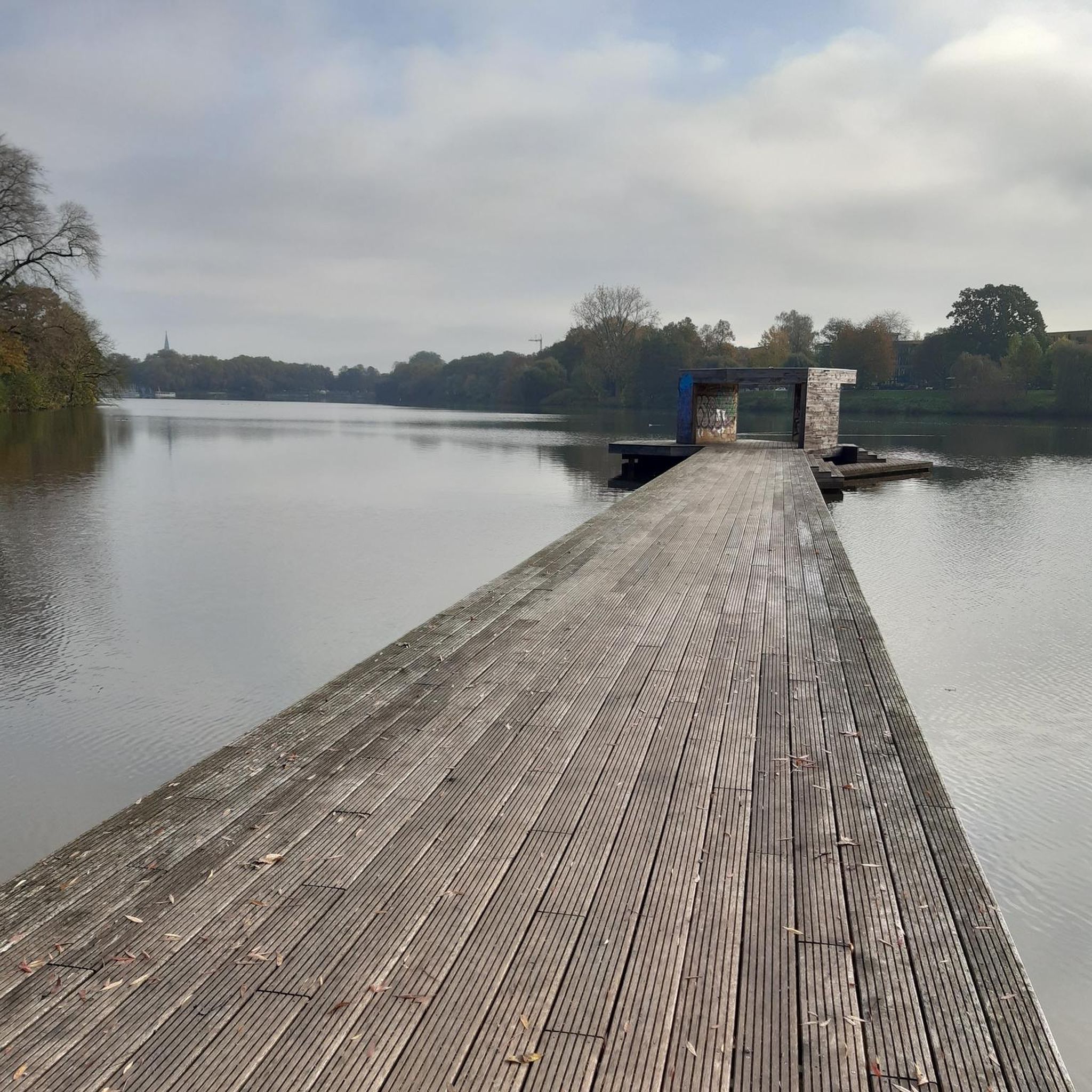
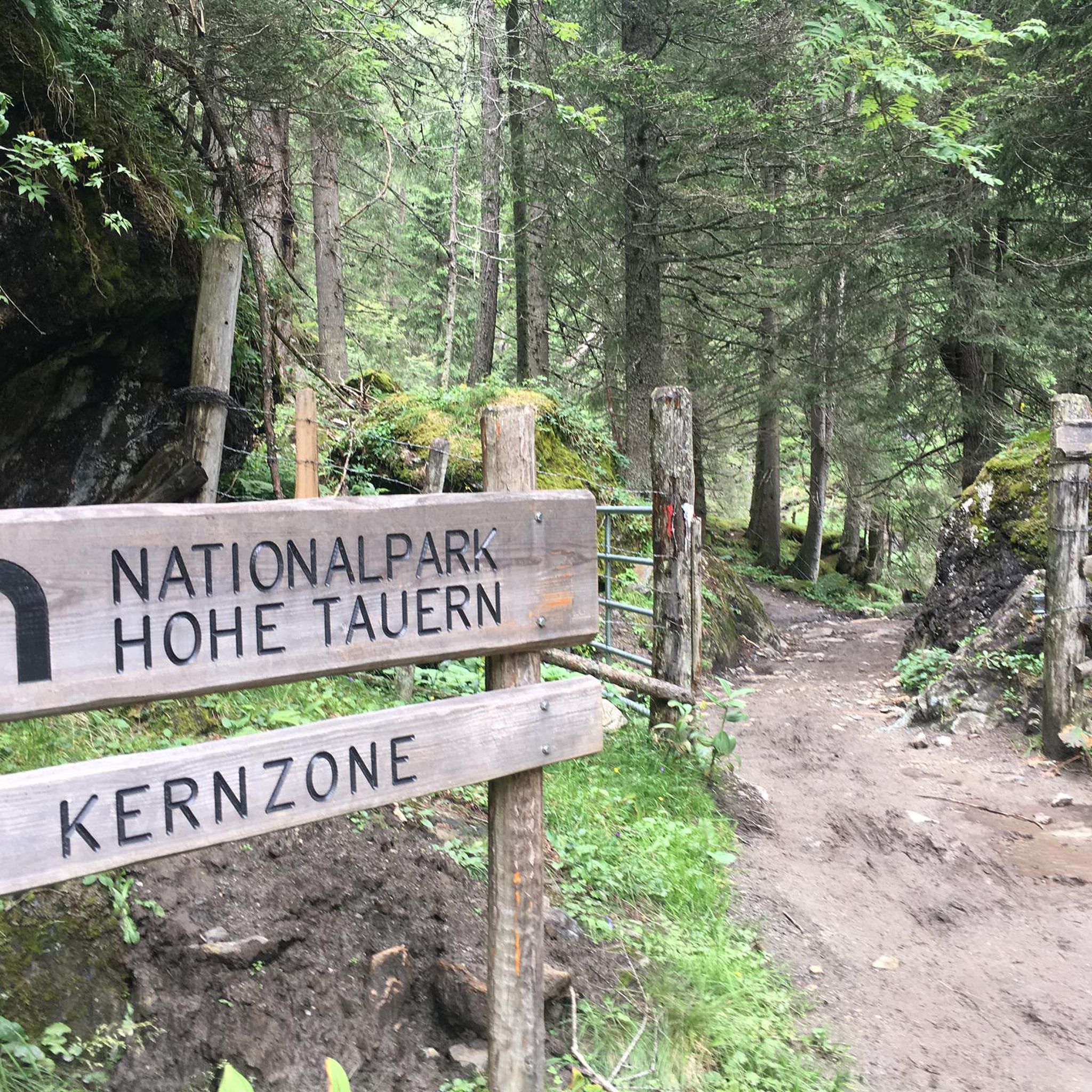
ホール-ヴァッテンスでのの他の冒険


コミュニティからのヒント

現在表示されている頂上には山頂の十字架がなく、そこに至る道も非常に危険で安全対策がされていないように見えます。
0
0

短くて良い、あまり混雑しないフェリックス・キュン・シュタイク https://www.via-ferrata.de/klettersteige/topo/felix-kuen-steig
0
0


Incredible views and perfect seating on the longest pine bench in the world
0
0

On the Hirschvogelsteig you reach the 2,639 meter high Sonnenspitze. From here you have a great panorama of the Tux Alps.
1
0

Altitude: 2677 m above sea level. The name "Glungezer" (historically also spelled Glunggezer) probably comes from an onomatopoeic imitation of gurgling water. In a hollow above the Tulfeinalm, but also in other places, the water flows, sometimes invisibly gurgling, between and under the boulders. Wikipedia
0
0

It's worth stopping here. Both the food and the service are great. We like going to this hut and have never been disappointed.
0
0

The Eisengattergrat describes the easiest way up and the recommended way down from the Grosser Bettelwurf. The upper part is a via ferrata with difficulty levels A/B, the lower part is a normal hiking trail that is somewhat exposed in places. Danger of falling rocks, especially in the upper part, so a helmet is recommended.
2
0
ホール-ヴァッテンスでのの人気ルート
ホール-ヴァッテンスでのの人気観光スポット

komootモバイルアプリでインスピレーションを得よう


探していたものは見つかりませんでしたか?
ホール-ヴァッテンスの下にある他の登山ハイキング & ルートをチェックして、目的地で完璧なルートを見つけましょう。
さらに探索
他の地域の最高の登山ハイキング & ルートを見てみましょう。
