カイザー山脈のおすすめ登山&山歩きルート
4.7
(549)
5,131
ハイカー
146
ハイキング
クーフシュタインの山々をもっと探索しませんか?このガイドでご紹介するのは、komootがカイザー山脈での登山&山歩きのコレクション全体を評価して選び抜いた、このエリアの人気ルートです。あなたに合ったルートを見つけるには、他のユーザーがアップロードした役立つ情報や写真を閲覧し、クリック操作で簡単に表示できる詳細なデータを参考にしましょう。カイザー山脈での次の冒険にぴったりの登山&山歩きルートが見つかるはずです。
最終更新日: 7月 8, 2026
4.9
(62)
690
ハイカー
10.5km
06:31
1,130m
1,140m
難しい登山ルート. 標準以上のフィットネスレベルが必要です。 安定して歩行できる技術、丈夫な靴、高標高地での登山経験が必要です。
4.9
(30)
336
ハイカー
14.5km
06:01
1,080m
1,080m
難しい登山ルート. 標準以上のフィットネスレベルが必要です。 安定して歩行できる技術、丈夫な靴、高標高地での登山経験が必要です。

無料新規登録
4.7
(26)
308
ハイカー
8.36km
03:21
650m
650m
中程度の登山ルート. ある程度のフィットネスレベルが必要です。 進みやすいルートです。あらゆるスキルレベルに適しています。
4.9
(25)
162
ハイカー
7.42km
03:38
590m
590m
難しい登山ルート. ある程度のフィットネスレベルが必要です。 安定して歩行できる技術、丈夫な靴、高標高地での登山経験が必要です。
4.8
(19)
138
ハイカー
13.6km
07:13
1,300m
1,300m
難しい登山ルート. 標準以上のフィットネスレベルが必要です。 安定して歩行できる技術、丈夫な靴、高標高地での登山経験が必要です。
5.0
(21)
154
ハイカー
9.76km
06:14
1,120m
1,120m
難しい登山ルート. 標準以上のフィットネスレベルが必要です。 安定して歩行できる技術、丈夫な靴、高標高地での登山経験が必要です。
5.0
(10)
175
ハイカー
16.2km
06:23
1,070m
1,070m
難しい登山ルート. 標準以上のフィットネスレベルが必要です。 安定して歩行できる技術、丈夫な靴、高標高地での登山経験が必要です。
5.0
(13)
145
ハイカー
11.9km
08:03
1,380m
1,380m
難しい登山ルート. 標準以上のフィットネスレベルが必要です。 安定して歩行できる技術、丈夫な靴、高標高地での登山経験が必要です。
4.7
(14)
137
ハイカー
11.7km
06:46
1,110m
1,110m
難しい登山ルート. 標準以上のフィットネスレベルが必要です。 安定して歩行できる技術、丈夫な靴、高標高地での登山経験が必要です。
4.7
(13)
105
ハイカー
10.8km
05:49
970m
980m
難しい登山ルート. 標準以上のフィットネスレベルが必要です。 安定して歩行できる技術、丈夫な靴、高標高地での登山経験が必要です。
さらに多くのルートや他のユーザーのおすすめ情報を確認できます。
無料新規登録
すでにアカウントをお持ちですか?
おすすめのツアーは他のkomootユーザーが実際に経験した何千ものアクティビティに基づいています。
無料アカウントで今日から始めよう
次の冒険が待っています。
ログインまたは登録
カイザー山脈周辺で人気
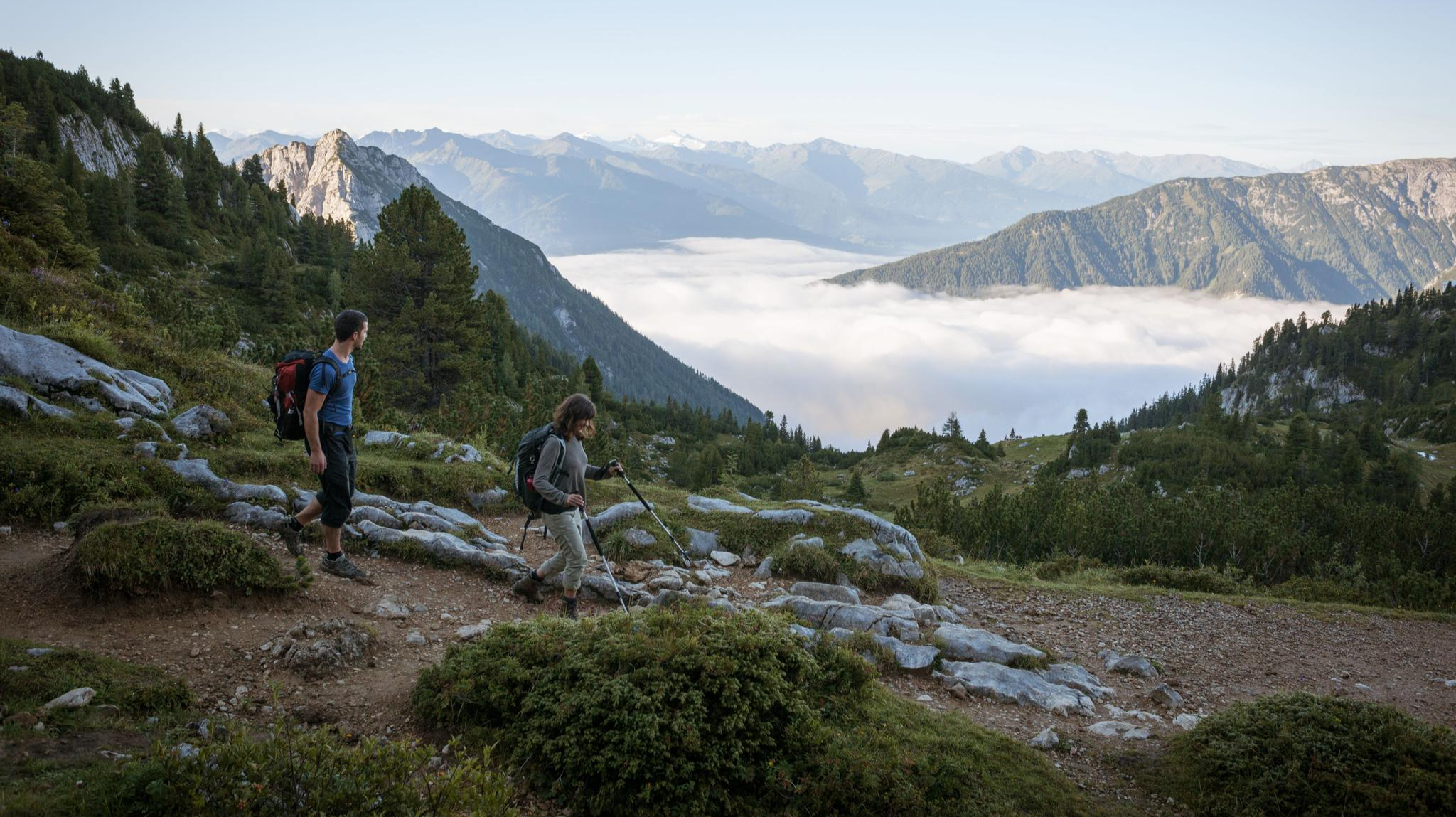
Majestic ハイキング along the Eagle Walk

オーストリアを49日間でハイキング - 北アルプストレイル01
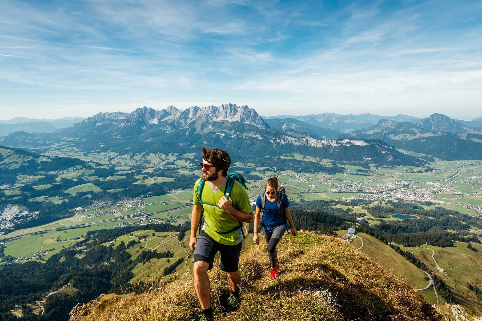
Kitzbühel Alps Trail – Keep on hiking, 3 versions
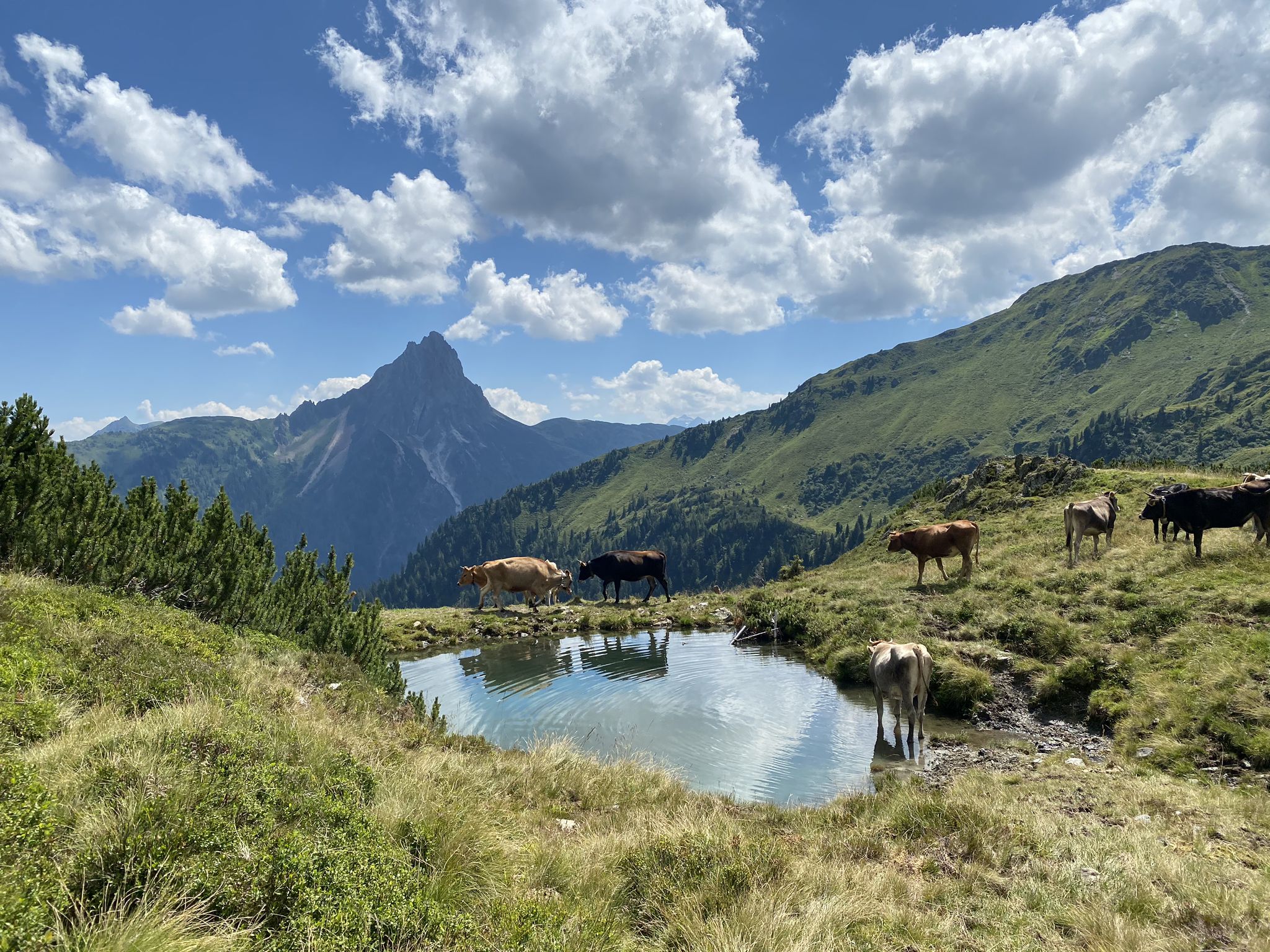
オーストリアのキッツビューヘルアルプスのKAT-Walkアルペントレイル
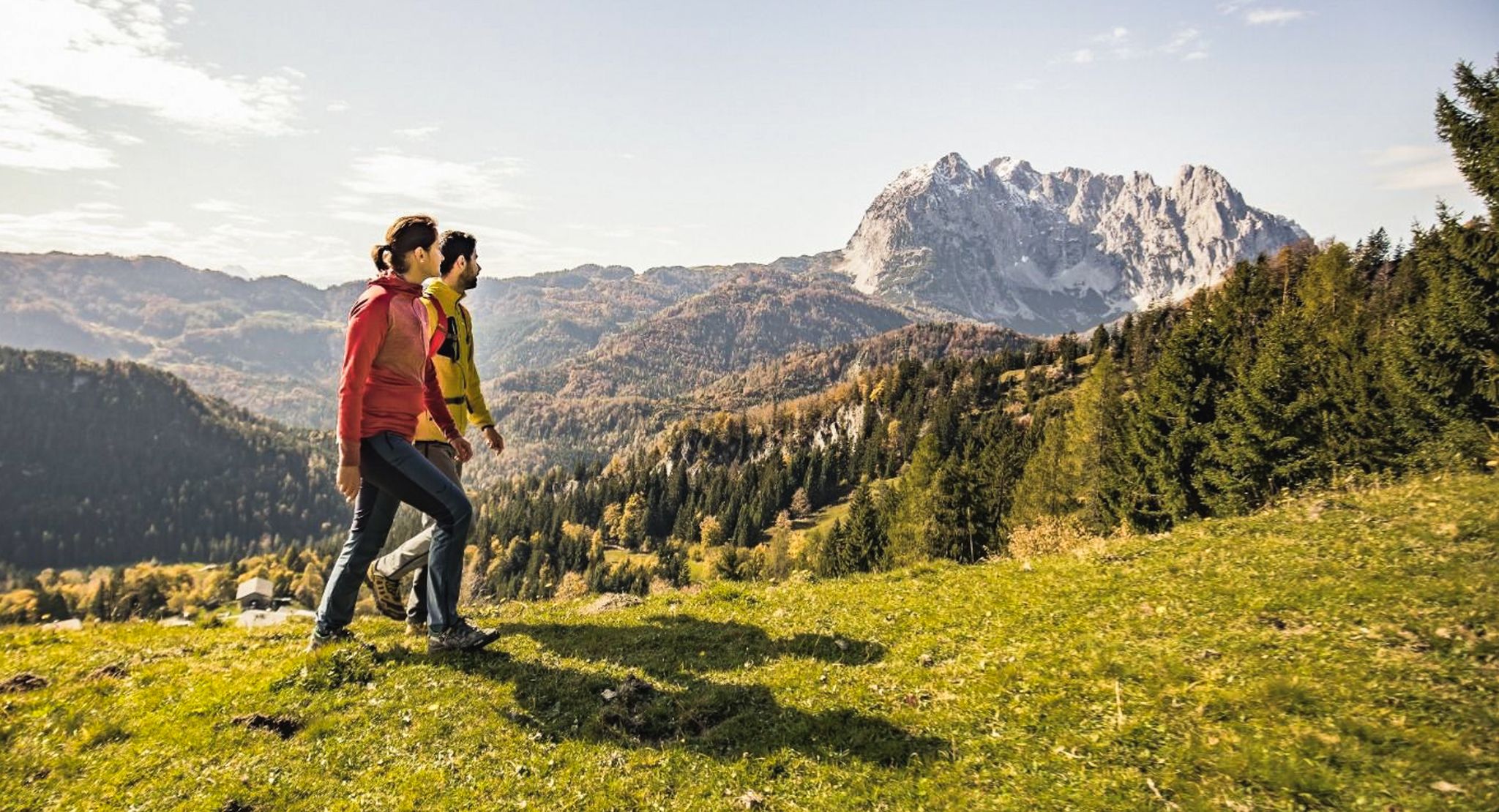
Koasa Trail – 美しい自然が広がるSt. Johann周辺
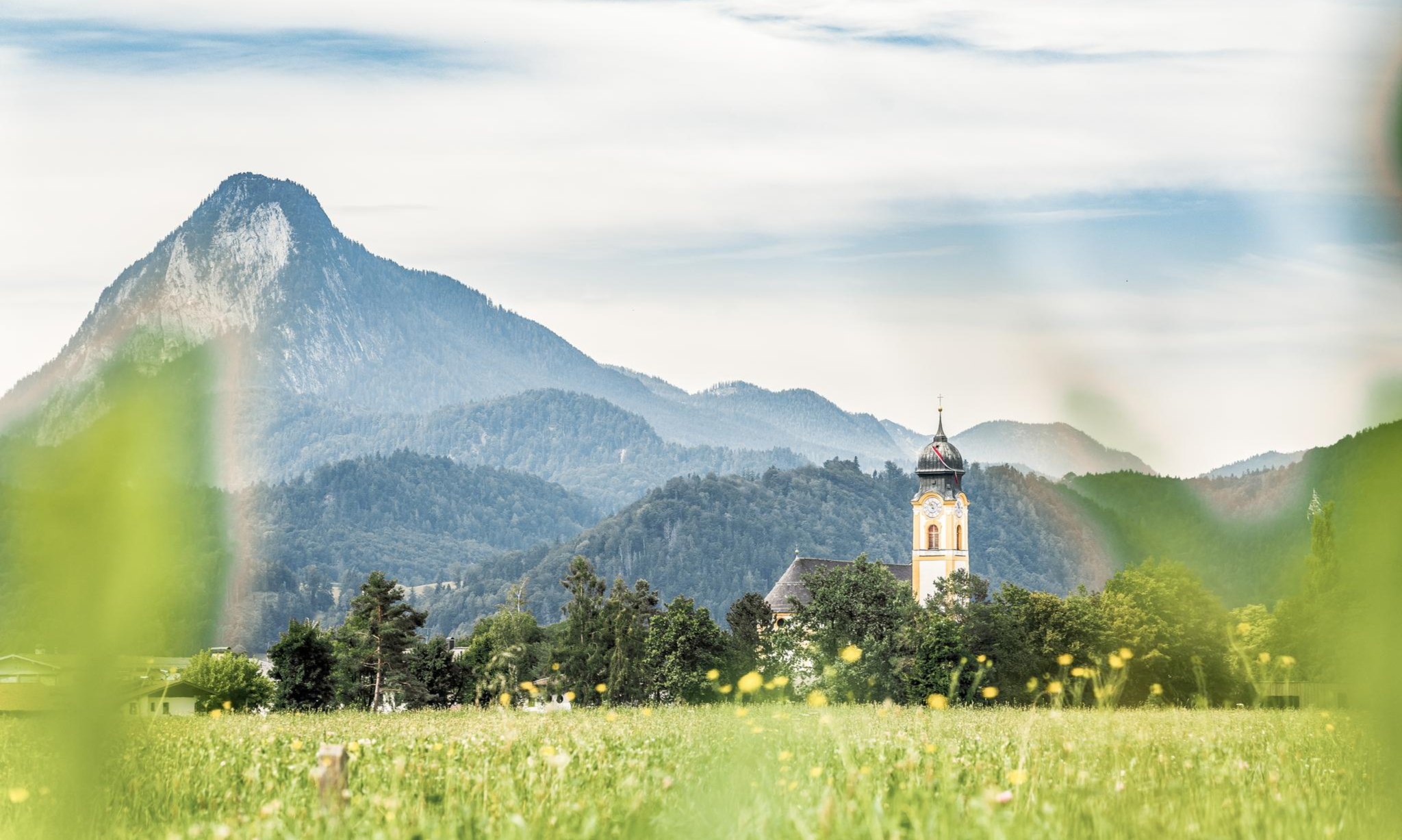
Nature, fun, food, relaxation and stories – inspiring themed trails in Kufsteinerland
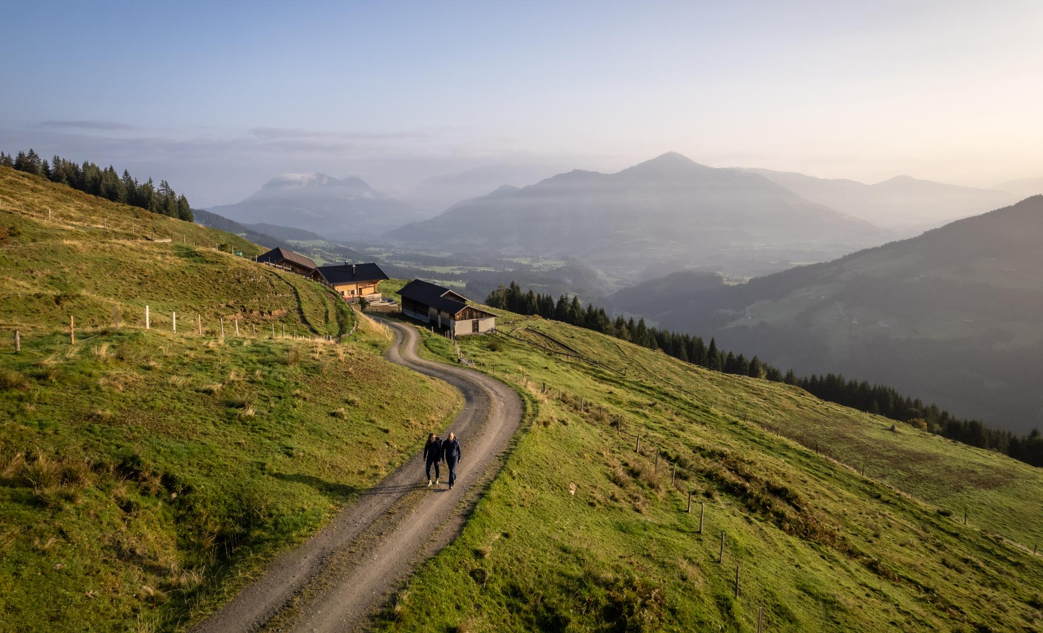
Varied and vibrant hiking in the Kitzbühel Alps
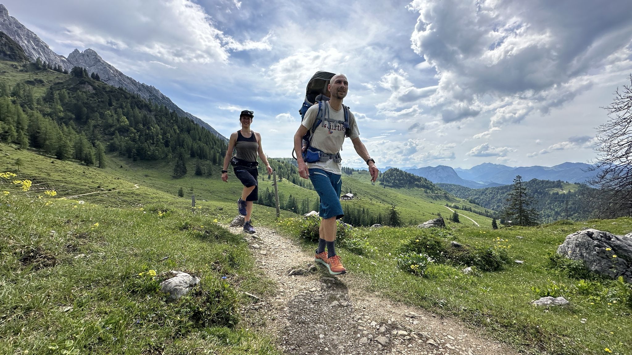
Cooling off in summer – cool water and wide views in Kufsteinerland
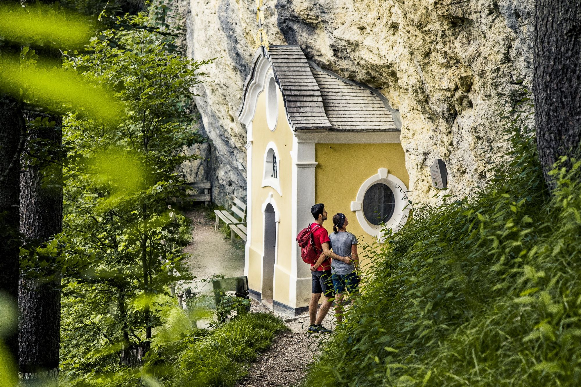
Places of worship in the Kitzbühel Alps – chapel hikes in St. Johann in Tirol
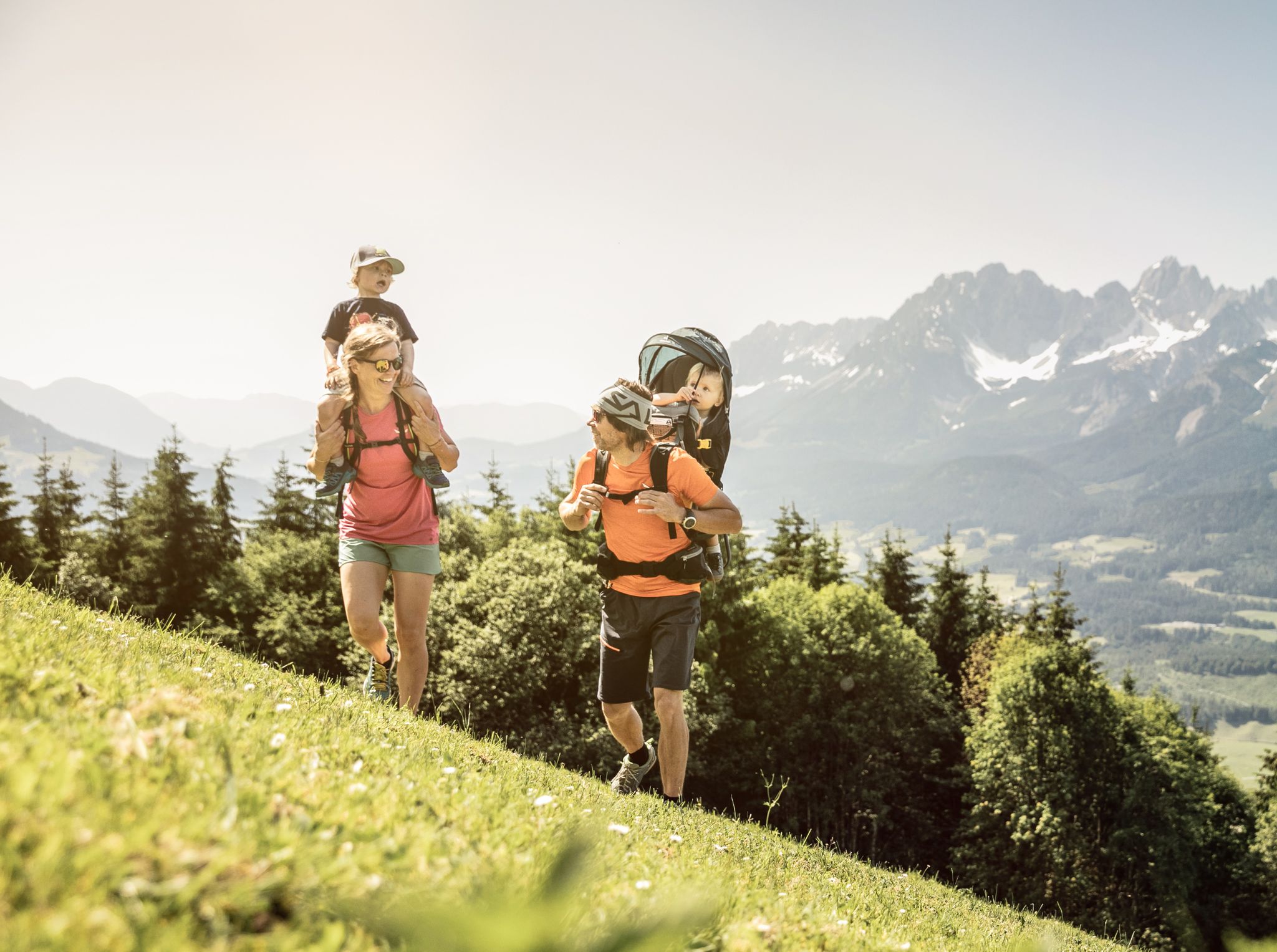
Exciting family hikes in St. Johann in Tirol
カイザー山脈でのの他の冒険


コミュニティからのヒント

フェルトベルクは頂上の十字架と共に1813mに位置し、ヴィルデ・カイザーとツァーマー・カイザーの両方の素晴らしい眺めを提供しており、さらにはヴァルヒ湖やキーム湖さえもここから見ることができます😊。
10
0

The Fritz-Pflaum-Hütte is a rustic self-catering hut at 1865m above sea level.
0
0

The Feldberg Ridge Trail in the Kaiser Mountains is a particularly scenic high-altitude trail with magnificent views of the Zahmer and Wilder Kaiser mountains. The trail runs from the Stripsenjochhaus hut over the gentle ridge of the Feldberg (1,813 m) and offers impressive panoramas at every turn: on one side, the rugged rock faces of the Wilder Kaiser, on the other, the gentle peaks of the Zahmer Kaiser. The ridge trail is easy to walk, but requires surefootedness and a good head for heights.
1
0
The Feldberg Ridge Trail in the Kaiser Mountains is a scenic high-altitude hike that runs from the Stripsenjochhaus across the Feldberg (1,813 m). The narrow path leads over the gentle ridge above the Kaiserbach Valley and offers impressive panoramas of the Wilder Kaiser, the Zahmer Kaiser, and the surrounding valleys.
2
0
The Frankenheimer Nadel (1,695 m) is a striking rocky outcrop in the Kaiser Mountains in Tyrol, near the Stripsenjochhaus. It rises prominently from the mountain pine slopes north of the Stripsenjoch and is one of the most popular climbing destinations in this area. Its steep, needle-shaped shape makes the Frankenheimer Nadel visible from afar and gives it its distinctive name. It was named after the Frankenheim section of the German Alpine Club, whose members were active here in the early years of mountaineering. The ascent to the Nadel involves various climbing routes of low to moderate difficulty and requires alpine experience and a head for heights.
2
0
The Frankenheimer Nadel is a striking rocky peak in the Kaiser Mountains in Tyrol, not far from the Stripsenjochhaus. The narrow, tower-like rocky promontory rises impressively above the terrain and is particularly popular with climbers. The routes up the Frankenheimer Nadel are varied and require climbing experience and safe rope technique. The needle got its name from the Frankenheim section of the German Alpine Club, which was active in this area for a long time. Due to its striking shape and location, the Frankenheimer Nadel also offers a popular photo motif with the majestic Wilder Kaiser in the background.
2
0
The Hundskopf is a striking rocky peak above the Stripsenjochhaus. With its distinctive shape, it towers impressively above the alpine pastures and mountain pine slopes of the Stripsenjoch and offers a magnificent view of the Wilder Kaiser and Zahmer Kaiser. Although the Hundskopf is not a high or technically difficult peak, it is considered a worthwhile destination for mountain hikers and climbers seeking a short, scenic tour. From the Stripsenjochhaus, you can reach the summit in about half an hour – you will be rewarded with an impressive panorama and a striking view of the steep north faces of the Wilder Kaiser.
1
0
The Tavonaro Cross stands directly next to the Stripsenjochhaus in the Kaiser Mountains and is a quiet, impressive monument amidst the Tyrolean mountains. It was erected in memory of Hans Tavonaro, the legendary mountain guide and hut keeper of the Stripsenjochhaus. Tavonaro shaped life and mountaineering in the Wilder Kaiser for decades and was considered a true "Kaiser expert." From the cross, you have a breathtaking view of the mighty north faces of Totenkirchl, Predigtstuhl, and Fleischbank.
3
0

komootモバイルアプリでインスピレーションを得よう


さらに探索
他の地域の最高の登山ハイキング & ルートを見てみましょう。
