ティールゼーのおすすめ登山&山歩きルート
4.7
(455)
5,091
ハイカー
119
ハイキング
クーフシュタインの山々をもっと探索しませんか?このガイドでご紹介するのは、komootがティールゼーでの登山&山歩きのコレクション全体を評価して選び抜いた、このエリアの人気ルートです。あなたに合ったルートを見つけるには、他のユーザーがアップロードした役立つ情報や写真を閲覧し、クリック操作で簡単に表示できる詳細なデータを参考にしましょう。ティールゼーでの次の冒険にぴったりの登山&山歩きルートが見つかるはずです。
最終更新日: 10月 11, 2026
4.8
(52)
453
ハイカー
9.09km
03:39
580m
580m
中程度の登山ルート. ある程度のフィットネスレベルが必要です。 全般的に進みやすいルートです。安定して歩行できる技術が必要です。
4.8
(11)
225
ハイカー
5.72km
02:14
400m
400m
中程度の登山ルート. ある程度のフィットネスレベルが必要です。 全般的に進みやすいルートです。安定して歩行できる技術が必要です。

5.0
(6)
48
ハイカー
難しい登山ルート. 標準以上のフィットネスレベルが必要です。 安定して歩行できる技術、丈夫な靴、高標高地での登山経験が必要です。
17
ハイカー
10.4km
03:19
380m
380m
中程度の登山ルート. ある程度のフィットネスレベルが必要です。 全般的に進みやすいルートです。安定して歩行できる技術が必要です。
5.0
(3)
40
ハイカー
5.25km
01:39
190m
190m
初級者向け登山ルート. あらゆるフィットネスレベルに適しています。 進みやすいルートです。あらゆるスキルレベルに適しています。
さらに多くのルートや他のユーザーのおすすめ情報を確認できます。
すでにアカウントをお持ちですか?
おすすめのツアーは他のkomootユーザーが実際に経験した何千ものアクティビティに基づいています。
無料アカウントで今日から始めよう
次の冒険が待っています。
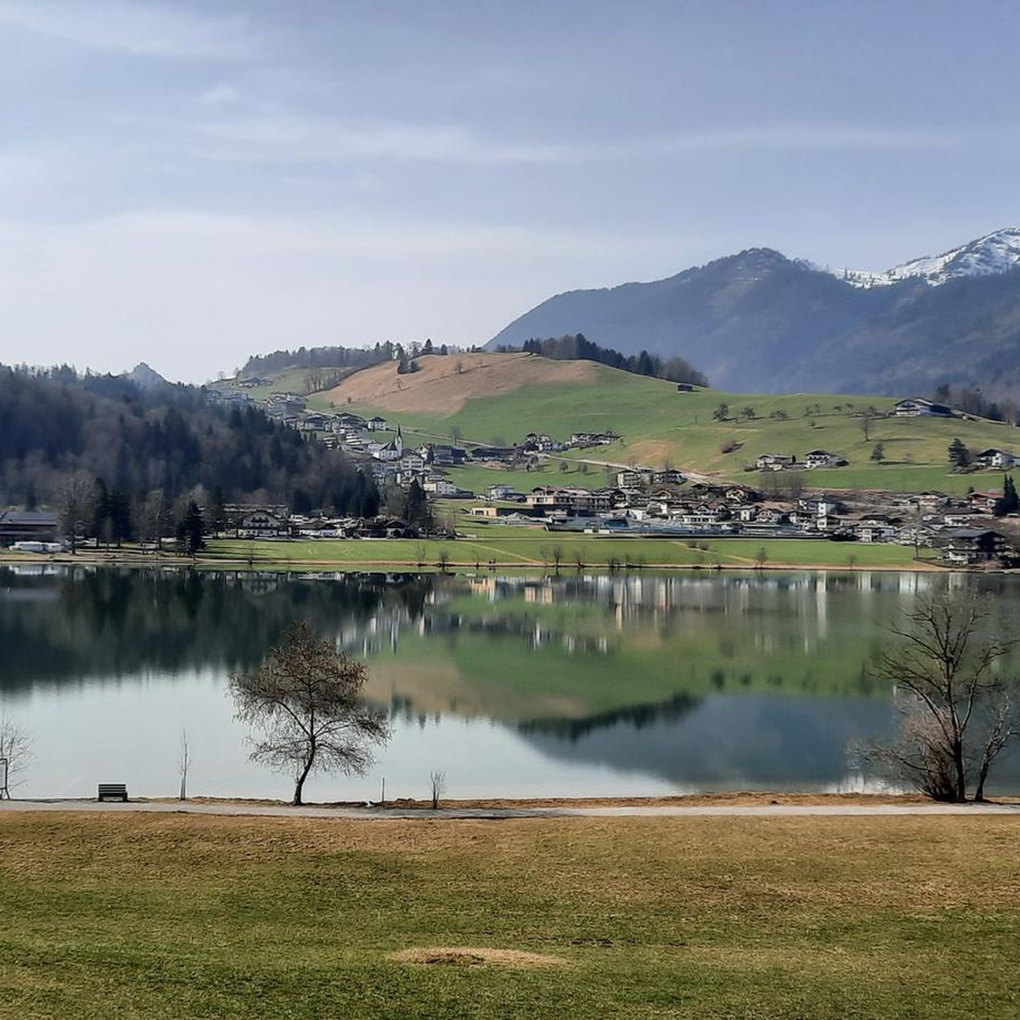
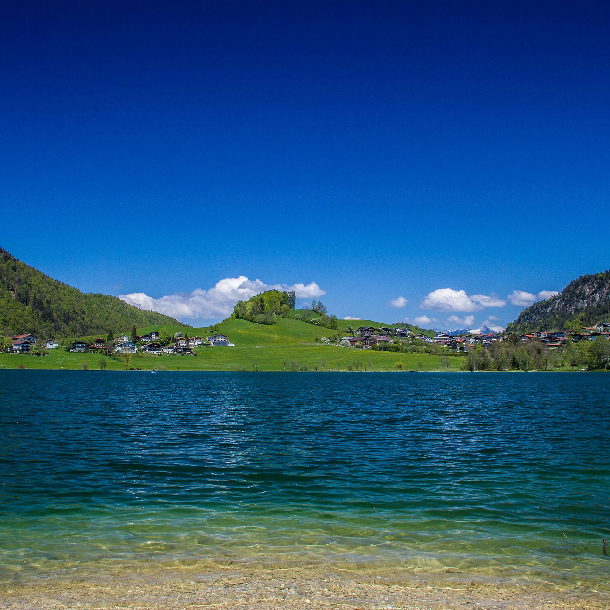
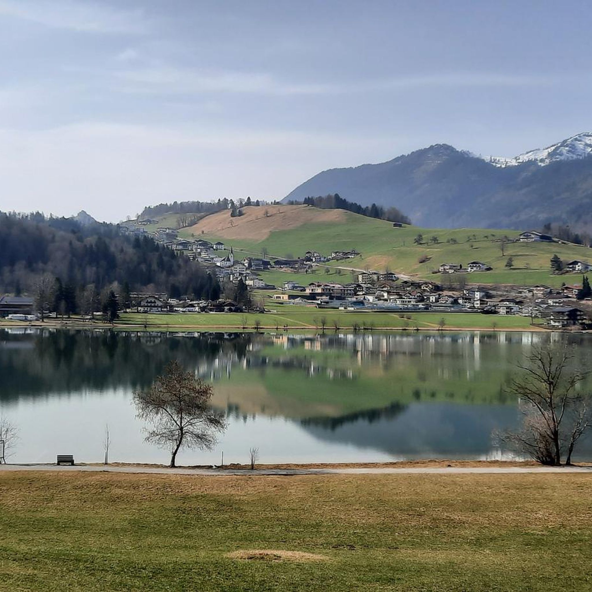
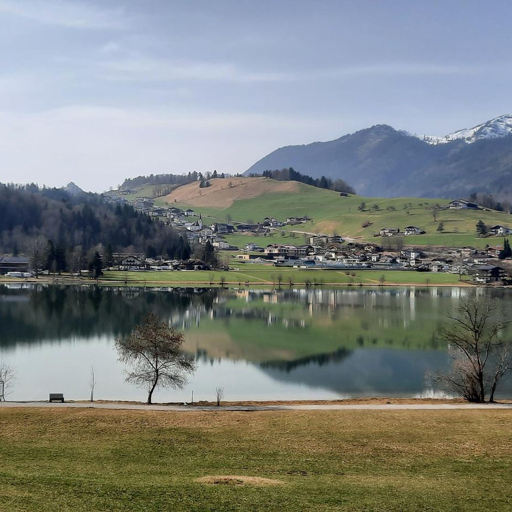

コミュニティからのヒント

キッチュのない上品な雰囲気、自然な親しみやすさ、そして料理はとても美味しく、特にプラムのフラムクーヘンは最高でした...
0
0


南から(KöglhörndlとFeuerköpflの間の峡谷)西側の断崖に沿った高木林の中を、急で砂利の多い登り道。たくさんのスノーローズとプリムローズ。時折、ジンチョウゲも見られます。高原の雪のない場所には、無数の真っ白なスノーローズがあります。 市長が通行止め(Weg gesperrt)の標識を立てたのはなぜ??? 頂上からの眺めは最高です。
0
0

Not dangerous, but a bit rougher.
0
0
Not really a summit, more simply the highest point of a long ridge.
1
0
Snow lingers on the cold north face well into April. Taking crampons is a good idea!
0
0

At the end of the gorge is the Gießenbach hydroelectric power plant, which has been in operation since the early 20th century. It harnesses the power of the Gießenbach River to generate environmentally friendly electricity. The plant is an example of how natural energy sources can be used sustainably without compromising the beauty of the landscape. Thus, the Gießenbach Gorge impressively combines nature and technological history.
1
0
The covered wooden bridge over the Gießenbach stream near the Schopperalm is a charming and characteristic feature on the hiking route through the Gießenbach Gorge – especially on the way back to the farms around the Trojerhof.
1
0
ティールゼーでのの人気観光スポット

komootモバイルアプリでインスピレーションを得よう


さらに探索
他の地域の最高の登山ハイキング & ルートを見てみましょう。
