フォルスタウのおすすめ登山&山歩きルート
4.7
(316)
2,354
ハイカー
93
ハイキング
ザルツブルクの山々をもっと探索しませんか?このガイドでご紹介するのは、komootがフォルスタウでの登山&山歩きのコレクション全体を評価して選び抜いた、このエリアの人気ルートです。あなたに合ったルートを見つけるには、他のユーザーがアップロードした役立つ情報や写真を閲覧し、クリック操作で簡単に表示できる詳細なデータを参考にしましょう。フォルスタウでの次の冒険にぴったりの登山&山歩きルートが見つかるはずです。
最終更新日: 10月 12, 2026
4.6
(56)
248
ハイカー
6.41km
02:54
380m
380m
難しい登山ルート. ある程度のフィットネスレベルが必要です。 安定して歩行できる技術、丈夫な靴、高標高地での登山経験が必要です。
4.9
(11)
77
ハイカー
12.6km
06:20
1,010m
1,010m
難しい登山ルート. 標準以上のフィットネスレベルが必要です。 安定して歩行できる技術、丈夫な靴、高標高地での登山経験が必要です。

4.8
(11)
41
ハイカー
13.2km
06:04
880m
880m
難しい登山ルート. 標準以上のフィットネスレベルが必要です。 全般的に進みやすいルートです。安定して歩行できる技術が必要です。
4.3
(8)
43
ハイカー
5.03km
02:00
240m
240m
中程度の登山ルート. ある程度のフィットネスレベルが必要です。 全般的に進みやすいルートです。安定して歩行できる技術が必要です。
5.0
(3)
33
ハイカー
4.44km
02:08
310m
310m
難しい登山ルート. ある程度のフィットネスレベルが必要です。 安定して歩行できる技術、丈夫な靴、高標高地での登山経験が必要です。
さらに多くのルートや他のユーザーのおすすめ情報を確認できます。
すでにアカウントをお持ちですか?
おすすめのツアーは他のkomootユーザーが実際に経験した何千ものアクティビティに基づいています。


コミュニティからのヒント

A very beautiful little summit with a fantastic panoramic view. The climb is well worth it! Two ascent options (via the Plattenspitz - moderate, via the Seekarscharte - easy), or a moderately difficult circular hike.
0
0

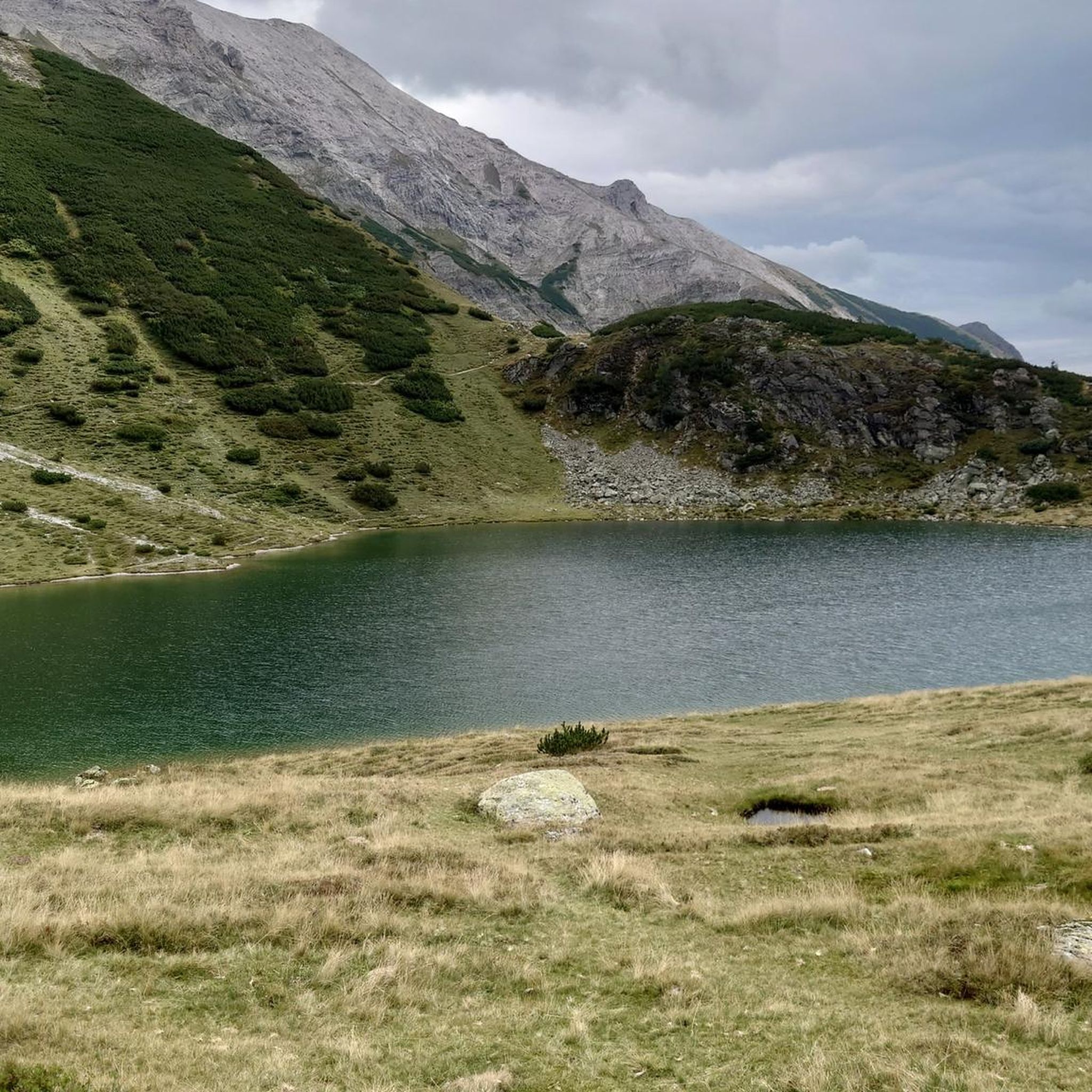
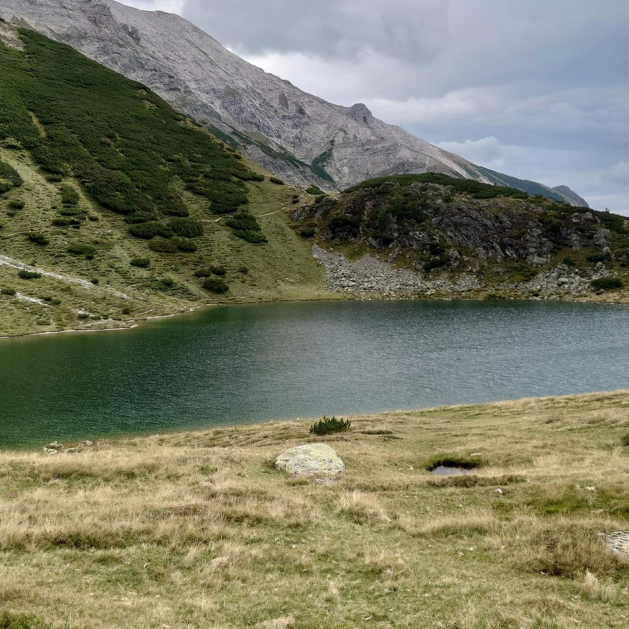
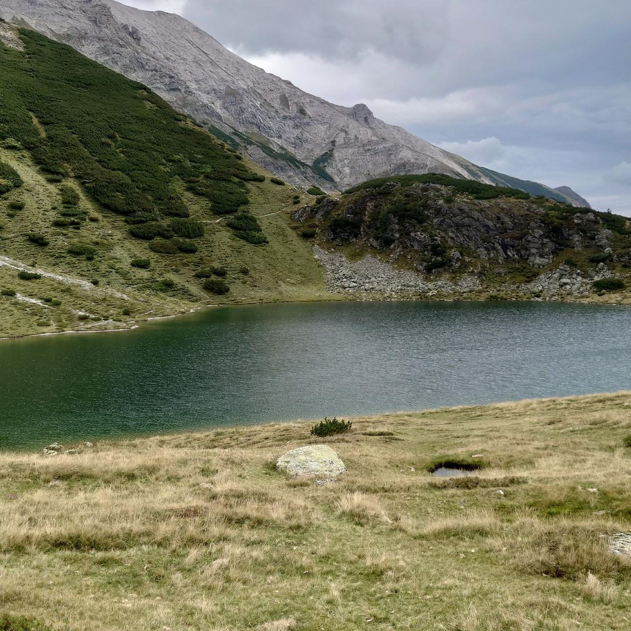
Great view of the lake
0
0

If you’re doing the full route definitely reconsider this section as it is a really steep incline. After doing the other two peaks, exhaustion may catch up while doing this at the end of the hike. Also not recommended during bad weather as chances of slipping greatly increase with loose rocks.
0
0

The coffee break with yogurt and buttermilk from the farm was delicious. There's also cheese to take home! :-)
0
0

There is also a mountain bike path from Oberhüttensee to Giglachseen via the Ahkarscharte
0
0

Starting point for many hikes.
0
0

...a beautiful and challenging tour with a great view 🥾👀
3
0
...a beautiful and challenging tour with a great view 🥾👀
3
0

komootモバイルアプリでインスピレーションを得よう


さらに探索
他の地域の最高の登山ハイキング & ルートを見てみましょう。
