ホワイトヒルのおすすめウォーキング&ハイキングルート
4.6
(1405)
10,925
ハイカー
28
ハイキング
ホワイトヒル 周辺でおすすめのハイキングやウォーキングを楽しんでいただけるように、このエリアの小径やルートを集めたkomootコレクション全体を見直しました。 以下で各ルートの詳細をご覧になり、ホワイトヒル周辺の大自然を満喫する際の参考にしてください。
最終更新日: 9月 13, 2026
4.4
(7)
49
ハイカー
10.5km
02:43
60m
60m
中程度のハイキング. ある程度のフィットネスレベルが必要です。 進みやすいルートです。あらゆるスキルレベルに適しています。
3
ハイカー
7.92km
02:04
50m
60m
中程度のハイキング. ある程度のフィットネスレベルが必要です。 全般的に進みやすいルートです。安定して歩行できる技術が必要です。

33
ハイカー
6.00km
01:33
30m
30m
初級者向けハイキング. あらゆるフィットネスレベルに適しています。 進みやすいルートです。あらゆるスキルレベルに適しています。
11
ハイカー
6.94km
01:48
40m
40m
初級者向けハイキング. あらゆるフィットネスレベルに適しています。 進みやすいルートです。あらゆるスキルレベルに適しています。
4
ハイカー
9.69km
02:30
40m
40m
中程度のハイキング. ある程度のフィットネスレベルが必要です。 進みやすいルートです。あらゆるスキルレベルに適しています。
さらに多くのルートや他のユーザーのおすすめ情報を確認できます。
すでにアカウントをお持ちですか?
おすすめのツアーは他のkomootユーザーが実際に経験した何千ものアクティビティに基づいています。
無料アカウントで今日から始めよう
次の冒険が待っています。

コミュニティからのヒント

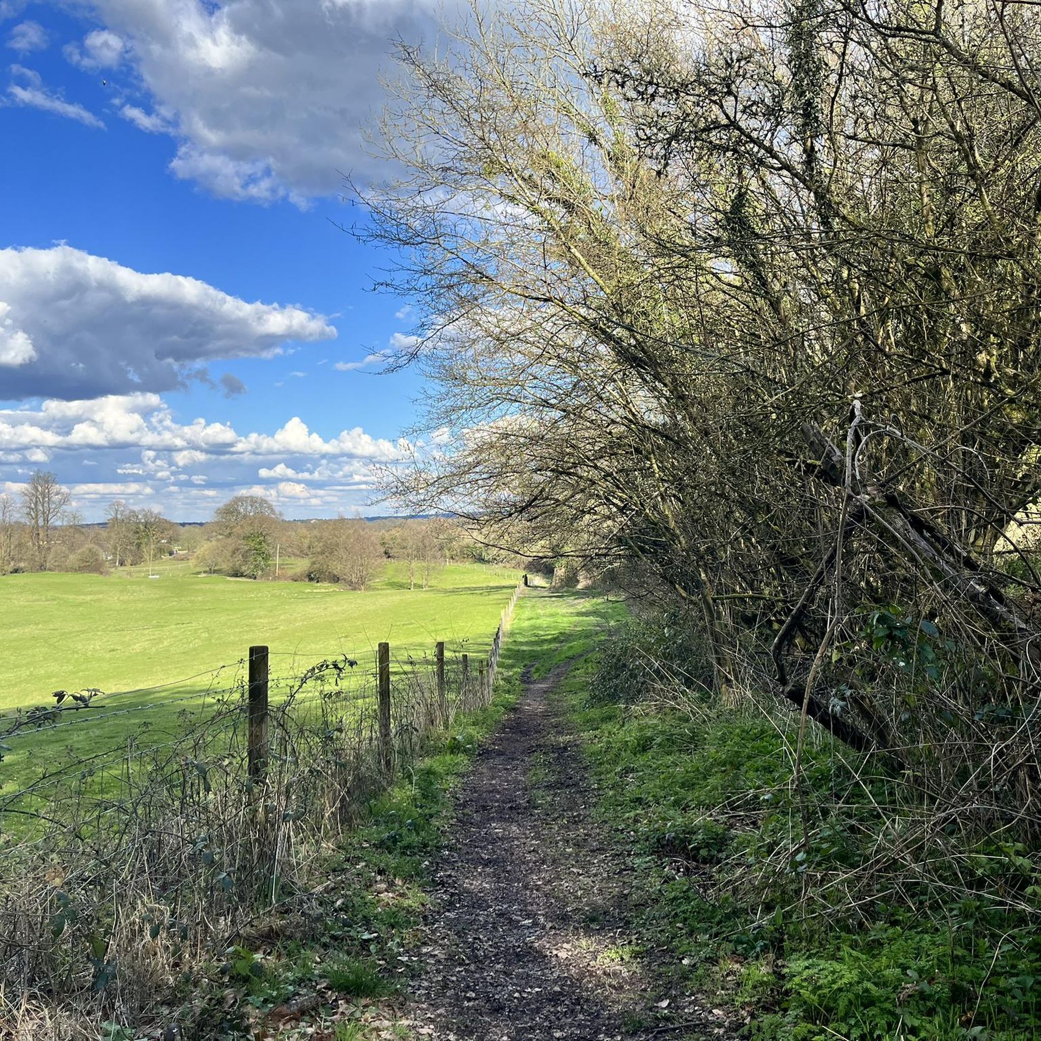
Can either remain on the peri track (flat, open) or join the Shipwright's way (narrower path, wooded and pretty). Both reasonably flat
0
0
Easy flatish peri track, gravelled all the way round and open public access
0
0

Good place to stop for coffee and cake… or sausage roll
0
0


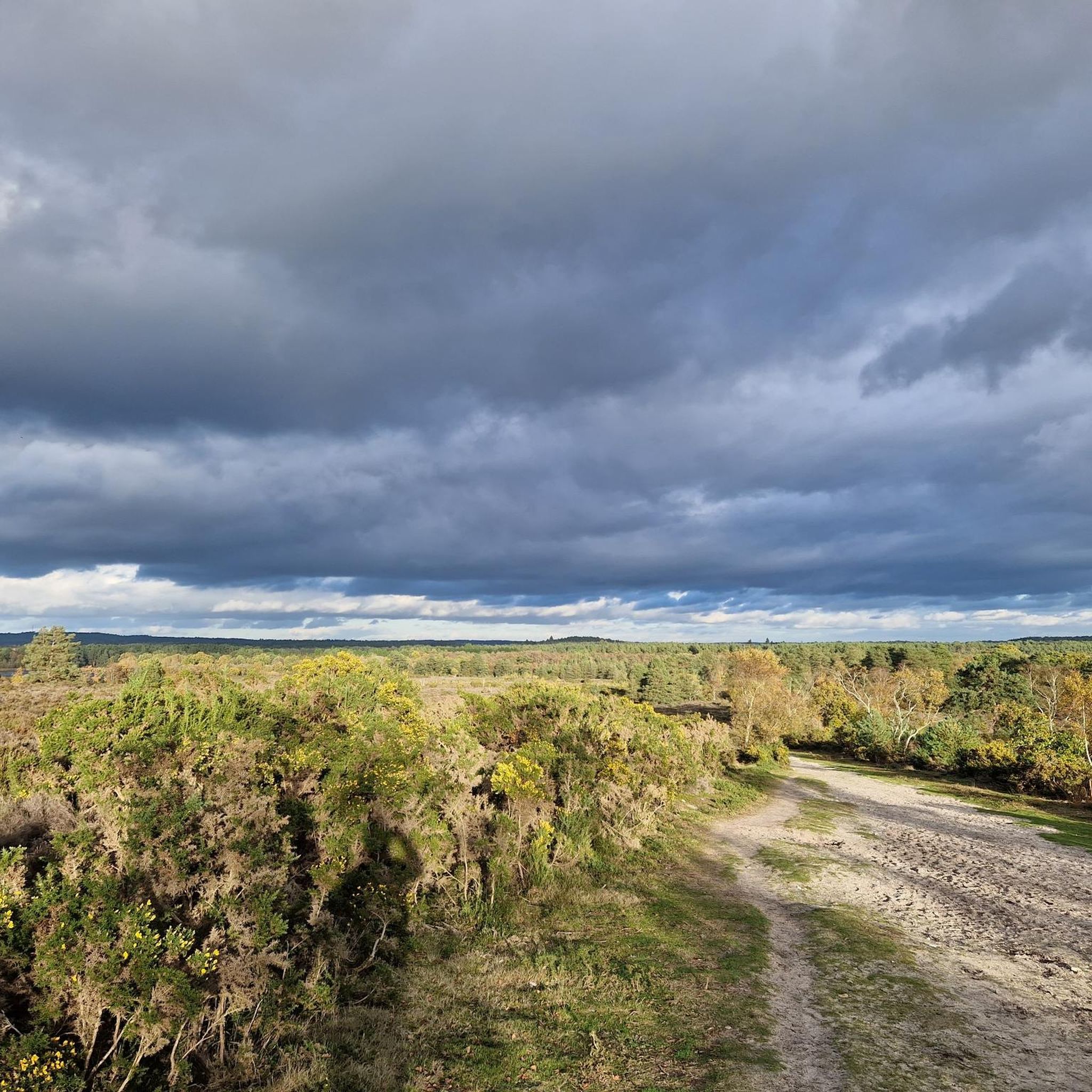
This large area of heathland and woodland has public footpaths to follow from the hamlet of Conford in the north eastern part of the site. It is a significant area with a diversity of habitats supporting twelve known native species of reptiles and amphibians. Scenery includes oak-birch woodland, conifer plantations, open sandy heaths, and rough grazed pastures. There's lots of interesting plants and flowers to look out for. Also keep your eyes peeled for birds such as Dartford warbler and European nightjar. N.B The Woolmer Forest perimeter trail is a popular route. However this area is the outer ring of an active Ministry of Defence (MOD) Range Area and it is illegal and dangerous to enter when the red flags are flying. Please adhere to any closure signs. If in any doubt then contact Longmoor Ranges by phone on 01420 483405.
0
0
There is a very good compact gravel/dirt track that skirts around the 10km perimeter of Woolmer Ranges/Woolmer Forest. The area is a Ministry of Defence (MOD) training area. The track is open to the public but the MOD area is fenced off.
3
0
This large area of heathland and woodland has public footpaths to follow from the hamlet of Conford in the north eastern part of the site. It is a significant area with a diversity of habitats supporting twelve known native species of reptiles and amphibians. Scenery includes oak-birch woodland, conifer plantations, open sandy heaths, and rough grazed pastures. There's lots of interesting plants and flowers to look out for. Also keep your eyes peeled for birds such as Dartford warbler and European nightjar. N.B The Woolmer Forest perimeter trail is a popular route. However this area is the outer ring of an active Ministry of Defence (MOD) Range Area and it is illegal and dangerous to enter when the red flags are flying. Please adhere to any closure signs. If in any doubt then contact Longmoor Ranges by phone on 01420 483405.
1
0

Broxhead Common is situated just outside Bordon in Hampshire. It is a designated Site of Special Scientific Interest, consisting of 42 hectares of dry heathland and secondary birch/oak woodland. It is an ideal spot to explore, with a diverse range of wildlife and some wonderful views across the surrounding countryside
1
0
ホワイトヒルでのの人気観光スポット

komootモバイルアプリでインスピレーションを得よう


さらに探索
他の地域の最高のハイキングを見てみましょう。
