ストークキャノンのおすすめウォーキング&ハイキングルート
4.5
(435)
5,011
ハイカー
293
ハイキング
ストークキャノン 周辺でおすすめのハイキングやウォーキングを楽しんでいただけるように、このエリアの小径やルートを集めたkomootコレクション全体を見直しました。 以下で各ルートの詳細をご覧になり、ストークキャノン周辺の大自然を満喫する際の参考にしてください。
最終更新日: 10月 13, 2026
4.2
(13)
79
ハイカー
5.18km
01:20
20m
20m
初級者向けハイキング. あらゆるフィットネスレベルに適しています。 進みやすいルートです。あらゆるスキルレベルに適しています。
4.0
(11)
68
ハイカー
4.32km
01:05
10m
10m
初級者向けハイキング. あらゆるフィットネスレベルに適しています。 進みやすいルートです。あらゆるスキルレベルに適しています。

4.2
(6)
22
ハイカー
10.6km
02:55
160m
160m
中程度のハイキング. ある程度のフィットネスレベルが必要です。 進みやすいルートです。あらゆるスキルレベルに適しています。
5.0
(2)
7
ハイカー
8.35km
02:14
100m
100m
中程度のハイキング. ある程度のフィットネスレベルが必要です。 進みやすいルートです。あらゆるスキルレベルに適しています。
5.0
(1)
3
ハイカー
10.7km
02:52
130m
130m
中程度のハイキング. ある程度のフィットネスレベルが必要です。 進みやすいルートです。あらゆるスキルレベルに適しています。
さらに多くのルートや他のユーザーのおすすめ情報を確認できます。
すでにアカウントをお持ちですか?
おすすめのツアーは他のkomootユーザーが実際に経験した何千ものアクティビティに基づいています。
無料アカウントで今日から始めよう
次の冒険が待っています。


コミュニティからのヒント

6月は非常に草が生い茂り、刺されたり引っかかれたりしてかなり痛い思いをしました。また、馬によって非常に荒れて跳ねるので、雨上がりは超ぬかるむだろうと想像できます。快適に走るには、確実に2.2以上の太いタイヤが必要です。
0
0

No way you can do this bridlepath on a road bike. Full MTB needed really. I did it on a hardtail e-MTB and was hard work. Very bumpy and rutted with horse/cow hoof prints. Southern end is also "very" overgrown at this time of year. Was stung and scratched badly. No fun at all
0
0

Very good walk with dog easy to follow. Last bit on quiet country lane.
1
1


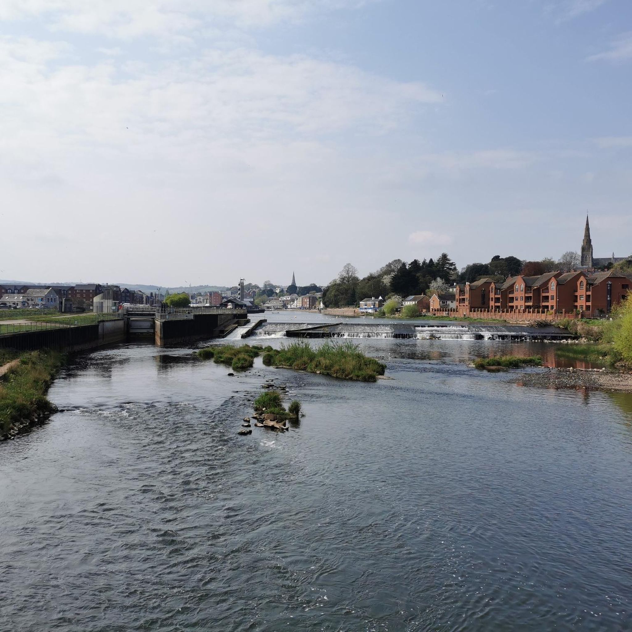
Picnic area close by, peaceful spot by the river.
0
0

The Exe Valley railway was operational between the late 1880s and the 1960s and joined Dulverton to Exeter St David's. Passing through a string of small villages, the line was important to the local residents. It was almost entirely dismantled after ceasing operation and sections now hold footpaths. This stretch uses the section of the line as it curved round to Stoke Canon, joining the main Bristol line.
2
0
ストークキャノンでのの人気観光スポット

komootモバイルアプリでインスピレーションを得よう


さらに探索
他の地域の最高のハイキングを見てみましょう。
