イーストデボンのおすすめウォーキング&ハイキングルート
4.5
(1966)
18,609
ハイカー
891
ハイキング
イーストデボンでのハイキングに出かけて、デボンのこのエリアを探索してみませんか?このガイドでご紹介するのは、komootがイーストデボンでのハイキング・ウォーキングルートのコレクション全体を評価して選び抜いた、このエリアの人気ハイキングルートです。あなたに合った でのハイキングを見つけるには、他のユーザーがアップロードした役立つ情報や写真を閲覧し、各ルートに関するみんなの意見やコメントを参考にしましょう。
最終更新日: 8月 17, 2026
4.8
(111)
579
ハイカー
11.2km
02:56
100m
100m
Embark on the Otterton Coast & the River Otter loop from Budleigh Salterton, a moderate hike that offers a delightful contrast between dramatic coastal vistas and serene riverside paths. You…
4.7
(69)
334
ハイカー
6.86km
02:01
190m
190m
Embark on the South West Coast Path: Beer and Branscombe Circular, a moderate hike that takes you along a stunning section of the Jurassic Coast. You will cover 4.3 miles…

無料新規登録
4.0
(21)
326
ハイカー
7.67km
01:57
20m
20m
Embark on the Exmouth Seafront loop, an easy hike covering 4.8 miles (7.7 km) with a gentle elevation gain of 78 feet (24 metres), typically completed in 1 hour and…
4.7
(35)
205
ハイカー
8.99km
02:48
330m
330m
Embark on the High Peak & Ladram Bay loop from Sidmouth, a moderate hike covering 5.6 miles (9.0 km) with an elevation gain of 1071 feet (326 metres). You can…
4.9
(23)
194
ハイカー
9.56km
02:29
60m
60m
Embark on a diverse hiking adventure along the Otterton Ledge, South West Coast Path, and River Otter loop from Budleigh Salterton. This moderate 5.9-mile (9.6 km) route, with an elevation…
4.8
(11)
101
ハイカー
19.7km
05:46
530m
530m
Embark on the Branscombe & Beer South West Coast Path loop from Weston, a difficult hike that challenges you with 12.2 miles (19.7 km) of coastal terrain. You will gain…
4.6
(12)
78
ハイカー
18.3km
04:55
230m
230m
This moderate hike along the South West Coast Path offers a journey through varied coastal landscapes. You will cover 11.4 miles (18.3 km) and gain 743 feet (227 metres) in…
4.8
(17)
76
ハイカー
22.3km
06:20
450m
450m
Embark on a challenging hike along the Budleigh Salterton & the River Otter loop from Sidmouth, a route that stretches 13.8 miles (22.3 km). You will gain 1485 feet (453…
4.7
(15)
72
ハイカー
19.1km
05:16
300m
300m
Embark on a challenging 11.9-mile (19.1 km) hike from Budleigh Salterton, a route that typically takes around 5 hours and 16 minutes to complete. You will gain about 984 feet…
4.9
(13)
64
ハイカー
7.66km
02:23
270m
270m
The Salcombe Hill & Sidmouth loop from Salcombe Regis is a moderate hike that blends coastal drama with riverside calm. This 4.8-mile (7.7 km) route features an elevation gain of…
さらに多くのルートや他のユーザーのおすすめ情報を確認できます。
無料新規登録
すでにアカウントをお持ちですか?
おすすめのツアーは他のkomootユーザーが実際に経験した何千ものアクティビティに基づいています。
イーストデボンでのの他の冒険


コミュニティからのヒント

Great view with some benches around, though most hidden in the shrubs 😊
0
0

Harnessing the power of moving water to drive a mill wheel is an ancient invention of human ingenuity, whose origins can be traced back to ancient times. Thanks to such a design, a watercourse – natural or artificial – made it possible to simply replace human or animal muscle power with the power of natural elements, for example, to grind grain into corn or press oil from fruit. There are essentially two drive variants for watermills: * Either the flowing water simply hits the blades of the water wheel from below to set it in motion; or * the water is guided above the wheel – usually through a so-called "mill channel" – and falls onto the blades. This design utilizes natural gravity to achieve greater efficiency.
2
0

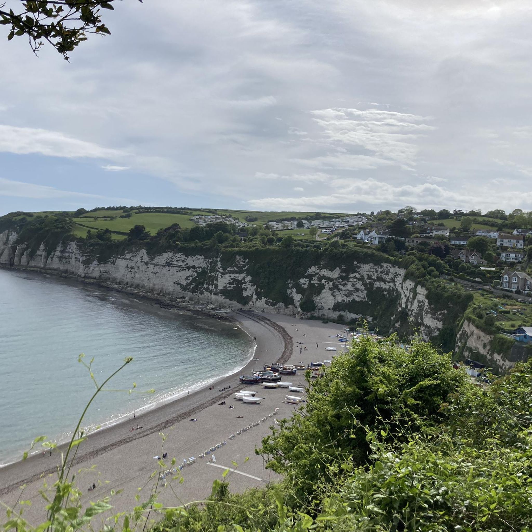
A wonderful view of the fishing boats but I went off season and I am not sure what it would be like in the peak season.
0
0

Beautiful walk and perfect opportunity to see wildlife
0
0
Sometimes you have to stop and just take a moment.
0
0

If you plan ahead, or if you are lucky, you can walk along the beach around Orcombe point when it is low tide. And from down here you are given a different perspective of the red cliffs of the jurrasic coast. The red sandstone cliif tower above you and boulders lay strewn across the beach from landslides in decades gone by. Continue walking the beach, being wedged between the sea and cliffs, but with plenty of space not to scare you, until you reach the slope up to Sandy bay park. Lots of refreshments await you, and the firework sound of gun fire, on a day when the troops test their rifles.
2
0

Highly recommended. Park in Lime kiln car park and 50 degrees north is a few minutes walk along the sea front. Be sure to visit the newly revamped wetlands adj to car park for a spot of bird watching and don’t forget your binos😀
0
0
イーストデボンでのの人気観光スポット

komootモバイルアプリでインスピレーションを得よう


探していたものは見つかりませんでしたか?
イーストデボンの下にある他のハイキングをチェックして、目的地で完璧なルートを見つけましょう。
