チルクームのおすすめウォーキング&ハイキングルート
4.5
(1440)
13,329
ハイカー
591
ハイキング
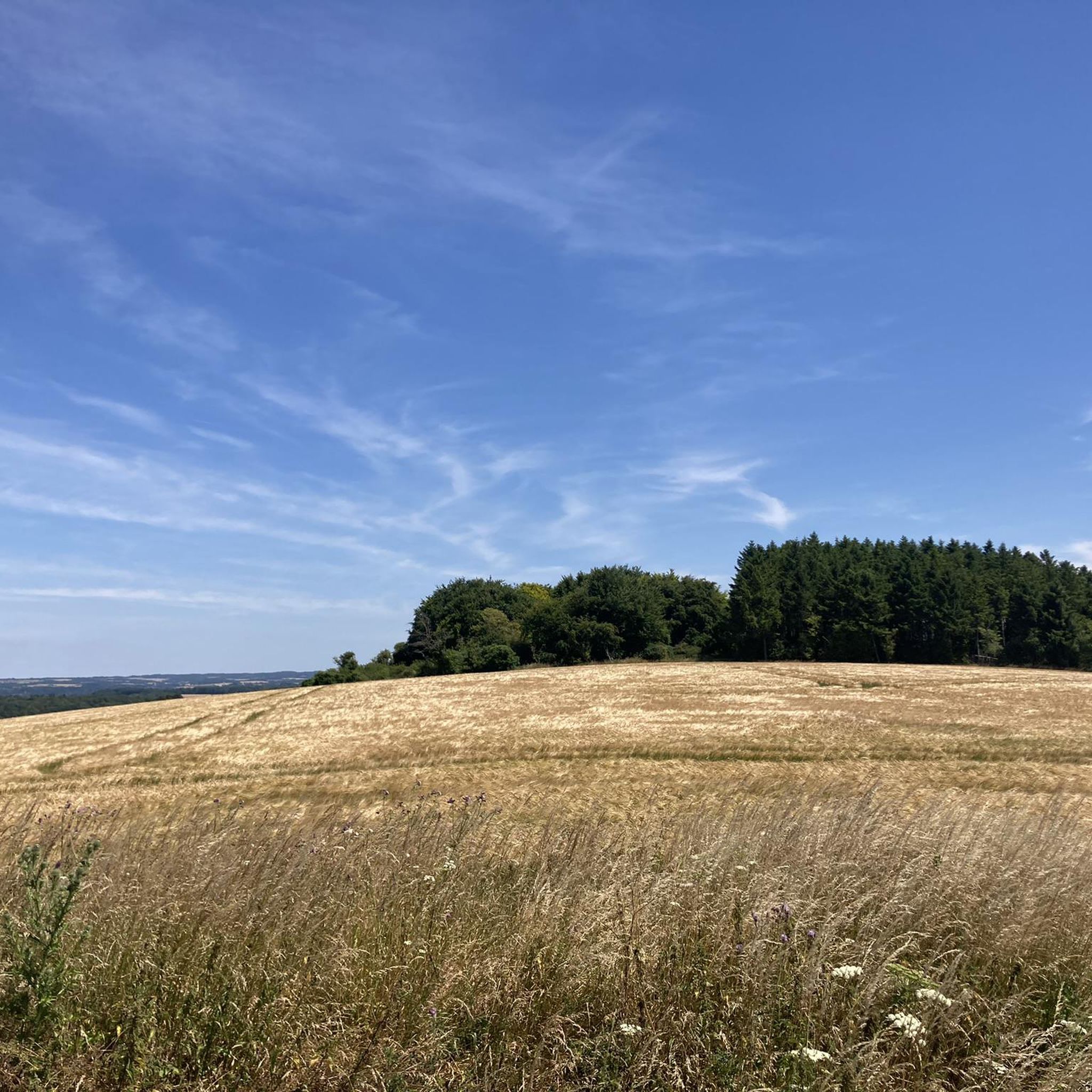
チルコム周辺のハイキングでは、サウス・ダウンズ国立公園内の起伏のあるチョーク質の丘陵地帯と河谷を探検します。この地域はチョーク地質が特徴で、広大な景色を望む草の生い茂った丘陵地帯と、イッチェン川沿いの穏やかな小道が変化に富んだ地形を作り出しています。多くのルートにはサウス・ダウンズ・ウェイ国立遊歩道の一部が含まれており、チーズフット・ヘッドのような史跡やセント・キャサリンズ・ヒルなどの自然のランドマークを通過します。この地域は、静かな川沿いの散策と挑戦的な丘登りの両方を提供しています。
チルコム周辺のベストハイキングコース
- 最も人気のあるハイキングコースは、ハンプシャー発、ガンダー・ダウン – チーズフット・ヘッド ループで、距離は7.6マイル(12.2 km)、所要時間は3時間20分です。このルートは、チーズフット・ヘッドの自然の円形劇場への緩やかな登りが特徴です。
- 地元のハイカーに人気のもう一つのコースは、チーズフット・ヘッドとオウルズベリー ループで、難易度は高く、距離は13.6マイル(21.8 km)です。このトレイルはサウス・ダウンズ・ウェイの一部をたどり、チョーク質の丘陵地帯の広大な景色を提供しています。
- 地元のハイカーに愛されているもう一つのコースは、ハンプシャー発、チーズフット・ヘッド – ブームタウン・フェスティバル会場ビュー ループで、距離は5.2マイル(8.4 km)、所要時間は約2時間18分です。チョーク質の丘陵地帯を抜けるトレイルです。
- チルコム周辺のハイキングは、起伏のあるチョーク質の丘陵地帯、サウス・ダウンズ・ウェイの一部、そしてイッチェン川沿いの小道によって特徴づけられます。トレイルネットワークは、短いループからより要求の厳しい長距離ハイキングまで、さまざまな体力レベルに適したオプションを提供しています。
- チルコムのルートは、1,200件以上のレビューから平均4.6つ星という高い評価をkomootコミュニティから受けています。12,000人以上のハイカーがkomootを利用して、チルコムの多様な地形を探検しています。
最終更新日: 8月 27, 2026
4.8
(5)
19
ハイカー
21.8km
05:58
330m
330m
Hike the difficult 13.6-mile Cheesefoot Head and Owslebury Loop in South Downs National Park, gaining 1078 feet over varied terrain.
4.7
(15)
63
ハイカー
12.2km
03:21
190m
190m
中程度のハイキング. ある程度のフィットネスレベルが必要です。 進みやすいルートです。あらゆるスキルレベルに適しています。

無料新規登録
4.7
(6)
55
ハイカー
11.5km
03:07
150m
150m
中程度のハイキング. ある程度のフィットネスレベルが必要です。 進みやすいルートです。あらゆるスキルレベルに適しています。
3.0
(1)
17
ハイカー
8.41km
02:12
60m
60m
中程度のハイキング. ある程度のフィットネスレベルが必要です。 進みやすいルートです。あらゆるスキルレベルに適しています。
3.3
(3)
21
ハイカー
7.93km
02:13
150m
150m
中程度のハイキング. ある程度のフィットネスレベルが必要です。 進みやすいルートです。あらゆるスキルレベルに適しています。
さらに多くのルートや他のユーザーのおすすめ情報を確認できます。
無料新規登録
すでにアカウントをお持ちですか?
おすすめのツアーは他のkomootユーザーが実際に経験した何千ものアクティビティに基づいています。
無料アカウントで今日から始めよう
次の冒険が待っています。
ログインまたは登録

コミュニティからのヒント

ウィンチェスターの素晴らしい景色を望む、手入れの行き届いた小さな公園です。 短い登りをする価値があります
0
0

The Faladoon Nature Reserve is a peaceful, lesser-known area, historically associated with Winchester College, that lies alongside the internationally important River Itchen chalk stream. Located near Winchester, this reserve forms a green corridor that offers tranquil walks, including a loop that connects to the historic Hockley Railway Viaduct. The area is significant for its diverse flora and fauna typical of a managed chalk-river flood plain, providing habitat for various bird species like kingfishers and woodpeckers, and serving as a key spot for local wildlife enthusiasts and conservation groups like the Conchological Society due to the presence of rare mollusc species.
0
0
St Catherine's Hill is a prominent chalk downland hill on the outskirts of Winchester, notable for its layered historical and ecological importance. Now a biological Site of Special Scientific Interest (SSSI) managed as a nature reserve, its summit is ringed by the impressive earthworks of a univallate Iron Age hillfort dating back over 2,000 years. The top is marked by a distinctive copse of beech trees, known as 'The Clump', which contains the scant ruins of the 12th-century St Catherine's Chapel, while the hillside features a turf-cut labyrinth known as the Miz-Maze; the entire site provides spectacular views over the city, the Itchen Valley, and supports a rich variety of wildflowers and butterflies, including the protected Chalkhill Blue.
1
0
The striking bronze statue of King Alfred the Great is one of Winchester's most recognizable landmarks, dominating The Broadway at the eastern end of the High Street near the River Itchen. Sculpted by Sir Hamo Thornycroft, the colossal, 15-foot-tall figure was erected in 1901 to commemorate the millennium of the king's death—a pivotal figure who made Winchester his capital and is credited with being "The Founder of the Kingdom and Nation," as inscribed on its granite base. Depicting a heroic, bearded Alfred in a regal stance with a downward-pointing sword hilt forming a cross, the statue celebrates his dual role as a military champion against the Vikings and an early Christian leader, all while standing proudly in the city he helped define.
1
0
Yes it has a few banks, clothes outlets, and plenty of coffee shops, but nevermind all that. It has so much history on this street. Curfew bells, oldest pub in England, hidden churches, statues, the lockburn ( find it ) ah it's just got so much!!
1
0
a key landmark that crosses the River Itchen right next to the famous Winchester City Mill on the eastern edge of the city centre.
1
0
The Sword: Alfred is shown grasping a large, cross-hilted sword with the point facing downwards. This posture is symbolic, representing not just his prowess as a warrior who defended his kingdom against the Vikings, but also his role as a Christian leader, with the hilt forming the shape of a cross. The Pedestal: The statue rests on a large pedestal of Cornish granite, which is inscribed with just one word: AELFRED. Historical Portrayal: Thornycroft's depiction is a romanticized, heroic one—showing Alfred with a long, flowing beard—even though contemporary coins suggest the King was clean-shaven. The monument represents the Victorian-era idea of Alfred as a perfect warrior, statesman, and philosopher king.
0
0
The statue depicts Alfred the Great (847–899 AD), who was the King of the West Saxons and is traditionally regarded as the first King of the Anglo-Saxons and the founder of the Kingdom of England. Winchester was his capital. Sculptor: Sir Hamo Thornycroft, a highly-regarded Royal Academician. Completion: It was completed in 1901, although it was commissioned to mark the millennium of King Alfred's death (which was in 899 AD). Size: The bronze statue is monumental, standing at 15 feet (4.57 m) high and weighing about five tons. The total height with its granite pedestal is around 40 feet. Location: It stands prominently at the eastern end of The Broadway, near the junction with Bridge Street and Eastgate Street, with the High Street extending behind it toward the city centre.
0
0
チルクームでのの人気観光スポット

komootモバイルアプリでインスピレーションを得よう


さらに探索
他の地域の最高のハイキングを見てみましょう。
