シェリトンビショップのおすすめウォーキング&ハイキングルート
4.5
(947)
5,694
ハイカー
241
ハイキング
ハイキングは、チェリトン・ビショップ周辺のミッド・デヴォンの田園風景を巡ります。この地域は、なだらかな丘、鬱蒼とした森、そしてテイグン渓谷のような川の谷が特徴です。ダートムーア国立公園に近いことから、穏やかな農地の散策と、花崗岩のトー(奇岩)が点在するより変化に富んだ荒野の地形の両方が楽しめます。トレイルは、テイグン川のような川沿いや野原を通り、登りからは周囲の田園風景の眺めが広がります。
チェリトン・ビショップ周辺のベストハイキングトレイル
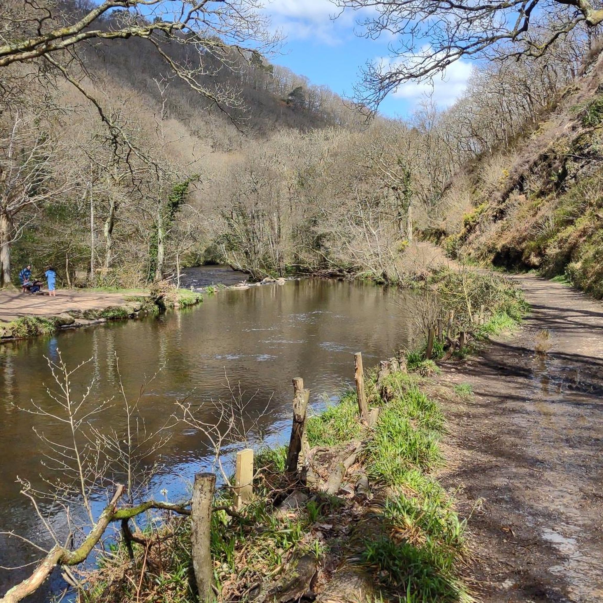
- 最も人気のあるハイキングルートは、ドリュースティントンからのテイグン川沿いのリバーサイドパス、フィングル・ブリッジ・ループです。この10.0マイル(16.0 km)のトレイルは、4時間40分で完了します。このルートは、急斜面の森に覆われた谷であるテイグン渓谷を川沿いに進みます。
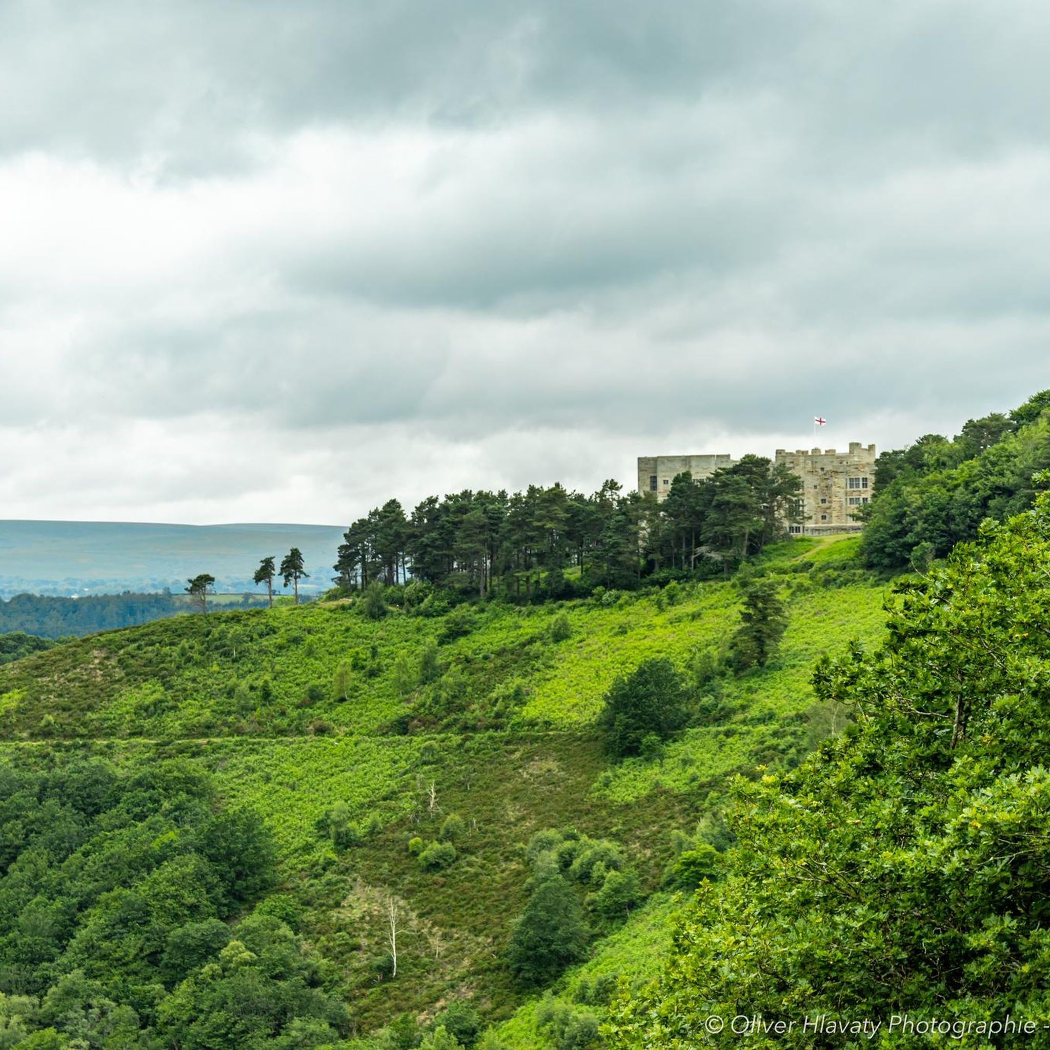
- 地元のハイカーに人気のもう一つのルートは、ドリュースティントンからのフィングル・ブリッジ・ループ、ハンターズ・パスです。これは、歩きやすい3.0マイル(4.8 km)のコースです。この短いハイキングには、谷を見下ろす丘であるシャープ・トーへの登りも含まれます。
- 地元のハイカーに人気のフィングル・ブリッジからのフィングル・ブリッジ・イン・ループは、5.2マイル(8.3 km)のトレイルで、変化に富んだ地形を通り抜け、通常約2時間15分で完了します。
- チェリトン・ビショップ周辺のハイキングは、川沿いの小道、古代の森、そしてなだらかな丘が特徴です。チェリトン・ビショップ周辺の遊歩道のネットワークは、短くて簡単な散策から、長くてより適度なハイキングまで、さまざまな体力レベルに適したルートを提供しています。
- チェリトン・ビショップのルートは、850件以上のレビューから平均4.6つ星という高い評価をkomootコミュニティから受けています。6,000人以上のハイカーがkomootを利用して、チェリトン・ビショップの多様な地形を探索しました。
最終更新日: 8月 23, 2026
4.8
(16)
134
ハイカー
16.9km
04:44
300m
300m
中程度のハイキング. ある程度のフィットネスレベルが必要です。 進みやすいルートです。あらゆるスキルレベルに適しています。
5.0
(8)
107
ハイカー
8.31km
02:13
90m
90m
中程度のハイキング. ある程度のフィットネスレベルが必要です。 進みやすいルートです。あらゆるスキルレベルに適しています。

無料新規登録
4.8
(15)
131
ハイカー
16.1km
04:39
380m
380m
中程度のハイキング. ある程度のフィットネスレベルが必要です。 進みやすいルートです。あらゆるスキルレベルに適しています。
4.0
(7)
13
ハイカー
24.1km
07:04
640m
640m
難しいハイキング. 標準以上のフィットネスレベルが必要です。 進みやすいルートです。あらゆるスキルレベルに適しています。
16
ハイカー
24.9km
07:12
560m
560m
難しいハイキング. 標準以上のフィットネスレベルが必要です。 進みやすいルートです。あらゆるスキルレベルに適しています。
さらに多くのルートや他のユーザーのおすすめ情報を確認できます。
無料新規登録
すでにアカウントをお持ちですか?
おすすめのツアーは他のkomootユーザーが実際に経験した何千ものアクティビティに基づいています。
無料アカウントで今日から始めよう
次の冒険が待っています。
ログインまたは登録
コミュニティからのヒント

Hunters Tor on Dartmoor – overview and practical guide Notes on the feature Name variants: Hunters Tor (also found in some guides as “Hunters’ Tor” or “Hunters Tor” with occasional apostrophe usage). It is one of the granite tors you’ll encounter on the eastern Dartmoor plateau. Location context: Situated on the eastern Dartmoor moor, in the general area between Widecombe-in-the-Moor and the higher moorland to the north and east. It’s often visited as part of longer routes from classic eastern Dartmoor starting points. What to expect Elevation and geology: A granite tor typical of Dartmoor—weathered outcrops with rough boulder features and exposed granite. Provides a vantage point to survey surrounding moorland. Scenery: Wide moorland views with horizon lines; potential for good visibility across East Dartmoor on clear days. Getting there Access points: Likely starting points include car parks and laybys near the eastern moor, with access from roads serving Widecombe-in-the-Moor, Ashburton, or Two Bridges. Public transport: Buses to nearby villages with a short walk onto the moor; check current timetables. Parking: Local parking areas around the eastern moorland; follow local signage and
0
0
Sharp Tor on Dartmoor – overview and tips Notes on the name Sharp Tor is a well-known tor on Dartmoor, sometimes spelled “Sharp Tor” or “Sharp’s Tor” in regional references. It is one of the classic granite tors that dot the eastern moor. Location context: Sharp Tor sits in the eastern part of Dartmoor National Park, behind or near the villages of Widecombe-in-the-Moor and intersecting with other moorland features such as Haytor and Hound Tor in the wider area. What to expect Elevation and geology: Granite tor forming a rocky outcrop that offers elevated views over the surrounding moor. Typical Dartmoor granite features, weathered by wind and rain into distinctive boulders and crags. Scenery: Expansive moorland around, open horizons, and, on clear days, distant views toward the coast. Getting there Access points: - Likely starting points include nearby car parks on the eastern Dartmoor plateau and routes from towns like Ashburton or Widecombe-in-the-Moor. Public transport: Bus routes to nearby villages with a short walk onto the moor. Parking: Depending on the exact access point, there are local parking areas; check current signage and National Trust/ Dartmoor NPA guidance. Popular routes and what to expect Short circulars: There are moorland circuits that incorporate Sharp Tor as a highlight, often around 2–4 miles (3–6 km) depending on the exact start point. Longer explorations: Combine Sharp Tor with adjacent tors such as Hound Tor, Widecombe area, or more northern tors for a full moorland day. Expect rolling moorland
0
0

The walk from Clifford Bridge to Fingle Bridge is about 2 1/2 miles. Walking from Clifford Bridge means you can time your walk to arrive at the Fingle Bridge Inn for lunch, coffee and cake or Dinner then return and burn off some of the calories you have injested.
0
0

Nice walk on a clear sunny day.
0
0
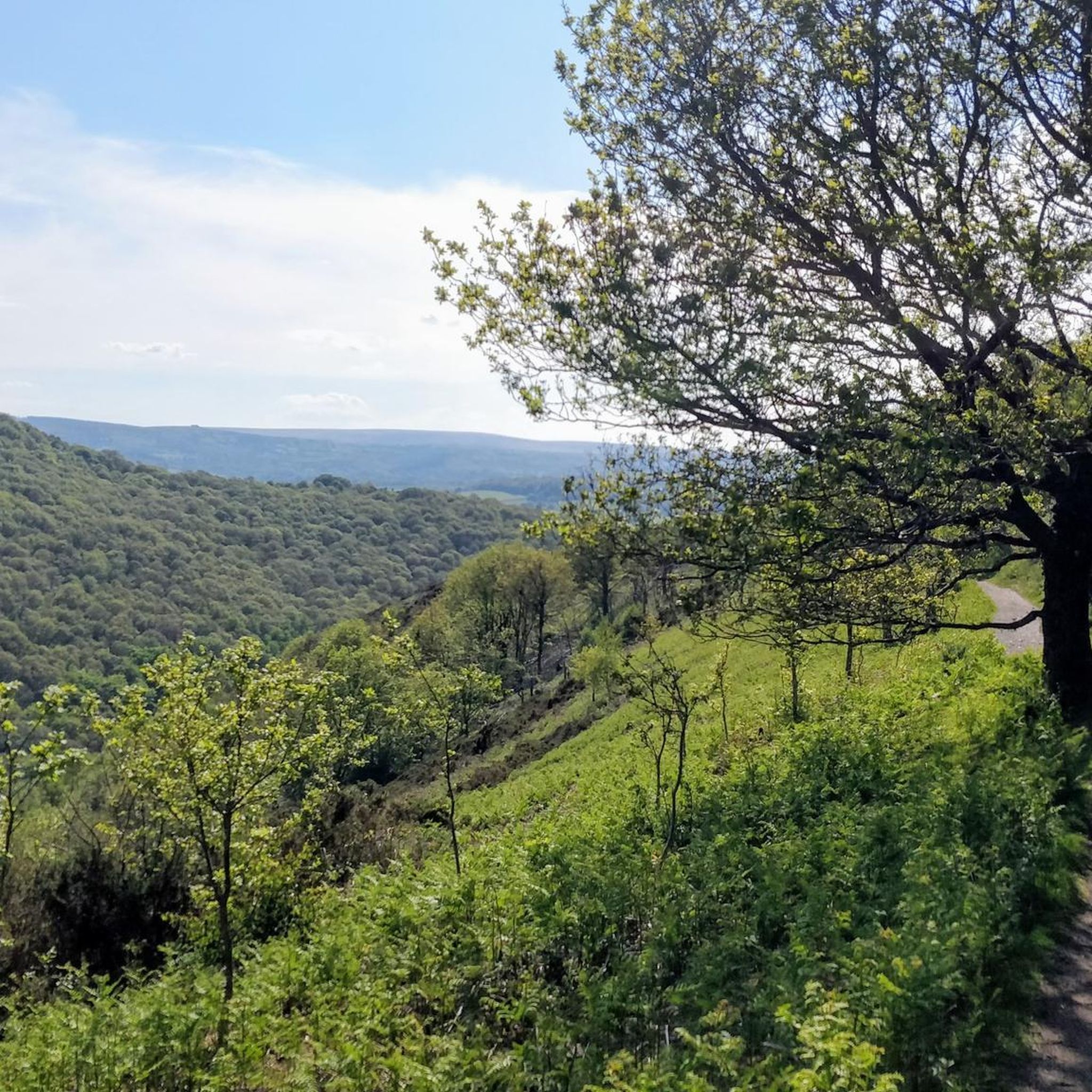
Very pleasant easy hike with changing views.
0
0

The Hunters Path is highly recommended with great views in all directions and is not as steep
1
0
シェリトンビショップでのの人気観光スポット

komootモバイルアプリでインスピレーションを得よう


さらに探索
他の地域の最高のハイキングを見てみましょう。
