シェリトンビショップのおすすめツーリングルート
4.2
(85)
1,016
ライダー
118
ライド
シェリトンビショップでおすすめのサイクリングルートをお探しですか?行きたいルートを簡単に決められるように、このページではシェリトンビショップ周辺の人気バイクライドをご紹介します。 ぜひ、お気に入りのルートを見つけてください。
最終更新日: 11月 15, 2026
4.0
(1)
11
ライダー
8.40km
00:48
90m
90m
初級者向けバイクライド. ほとんどが舗装路です。
13
ライダー
42.5km
02:59
660m
660m
難しい自転車ライド. 標準以上のフィットネスレベルが必要です。 ツアーの一部で自転車を押して歩く必要があるかもしれません。

7
ライダー
36.4km
02:26
570m
580m
難しい自転車ライド. 標準以上のフィットネスレベルが必要です。 ほとんどが舗装路です。
4.0
(1)
9
ライダー
28.4km
02:16
460m
460m
難しい自転車ライド. 標準以上のフィットネスレベルが必要です。 ほとんどが舗装路です。
6
ライダー
28.7km
01:54
400m
400m
中程度の自転車ライド. ある程度のフィットネスレベルが必要です。 ほとんどが舗装路です。
さらに多くのルートや他のユーザーのおすすめ情報を確認できます。
すでにアカウントをお持ちですか?
おすすめのツアーは他のkomootユーザーが実際に経験した何千ものアクティビティに基づいています。
無料アカウントで今日から始めよう
次の冒険が待っています。

コミュニティからのヒント


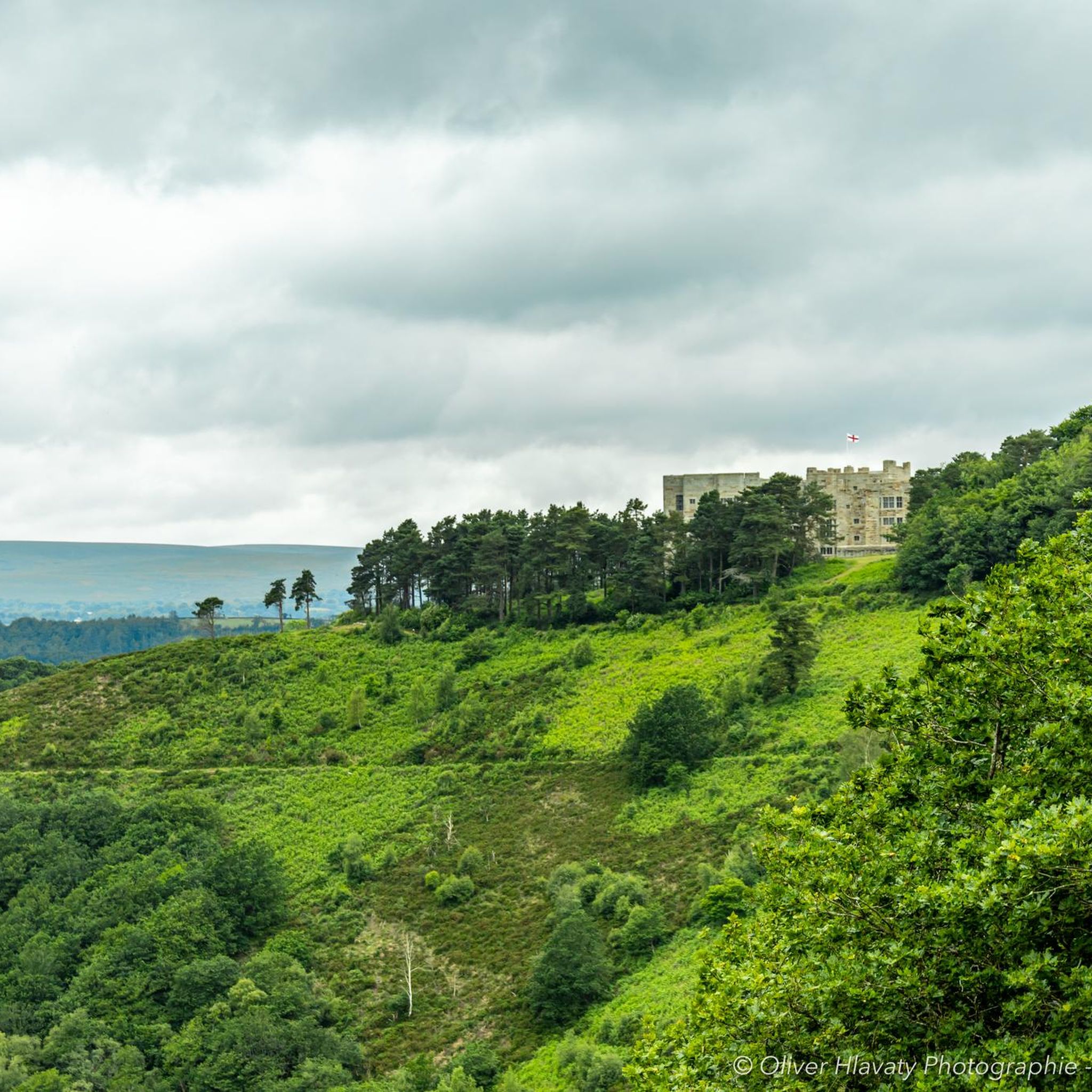
コーヒーとケーキを飲むのに本当に素敵な場所です。その後、Wray Trailを下って戻るか、Hennockを経由して登り、ダートムーアの素晴らしい景色を眺めることができます。
0
0

Sharp Tor on Dartmoor – overview and tips Notes on the name Sharp Tor is a well-known tor on Dartmoor, sometimes spelled “Sharp Tor” or “Sharp’s Tor” in regional references. It is one of the classic granite tors that dot the eastern moor. Location context: Sharp Tor sits in the eastern part of Dartmoor National Park, behind or near the villages of Widecombe-in-the-Moor and intersecting with other moorland features such as Haytor and Hound Tor in the wider area. What to expect Elevation and geology: Granite tor forming a rocky outcrop that offers elevated views over the surrounding moor. Typical Dartmoor granite features, weathered by wind and rain into distinctive boulders and crags. Scenery: Expansive moorland around, open horizons, and, on clear days, distant views toward the coast. Getting there Access points: - Likely starting points include nearby car parks on the eastern Dartmoor plateau and routes from towns like Ashburton or Widecombe-in-the-Moor. Public transport: Bus routes to nearby villages with a short walk onto the moor. Parking: Depending on the exact access point, there are local parking areas; check current signage and National Trust/ Dartmoor NPA guidance. Popular routes and what to expect Short circulars: There are moorland circuits that incorporate Sharp Tor as a highlight, often around 2–4 miles (3–6 km) depending on the exact start point. Longer explorations: Combine Sharp Tor with adjacent tors such as Hound Tor, Widecombe area, or more northern tors for a full moorland day. Expect rolling moorland
0
0

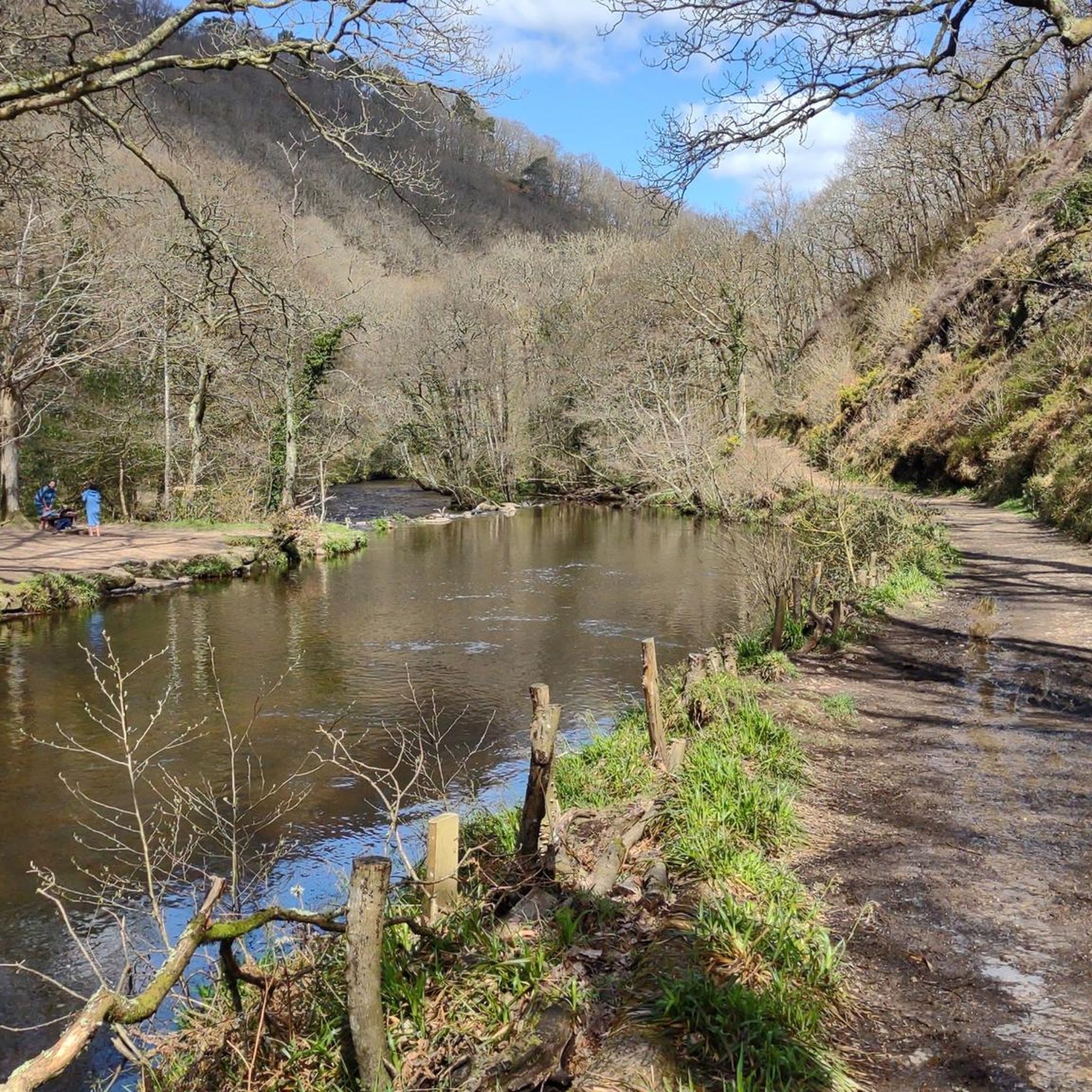
The walk from Clifford Bridge to Fingle Bridge is about 2 1/2 miles. Walking from Clifford Bridge means you can time your walk to arrive at the Fingle Bridge Inn for lunch, coffee and cake or Dinner then return and burn off some of the calories you have injested.
0
0

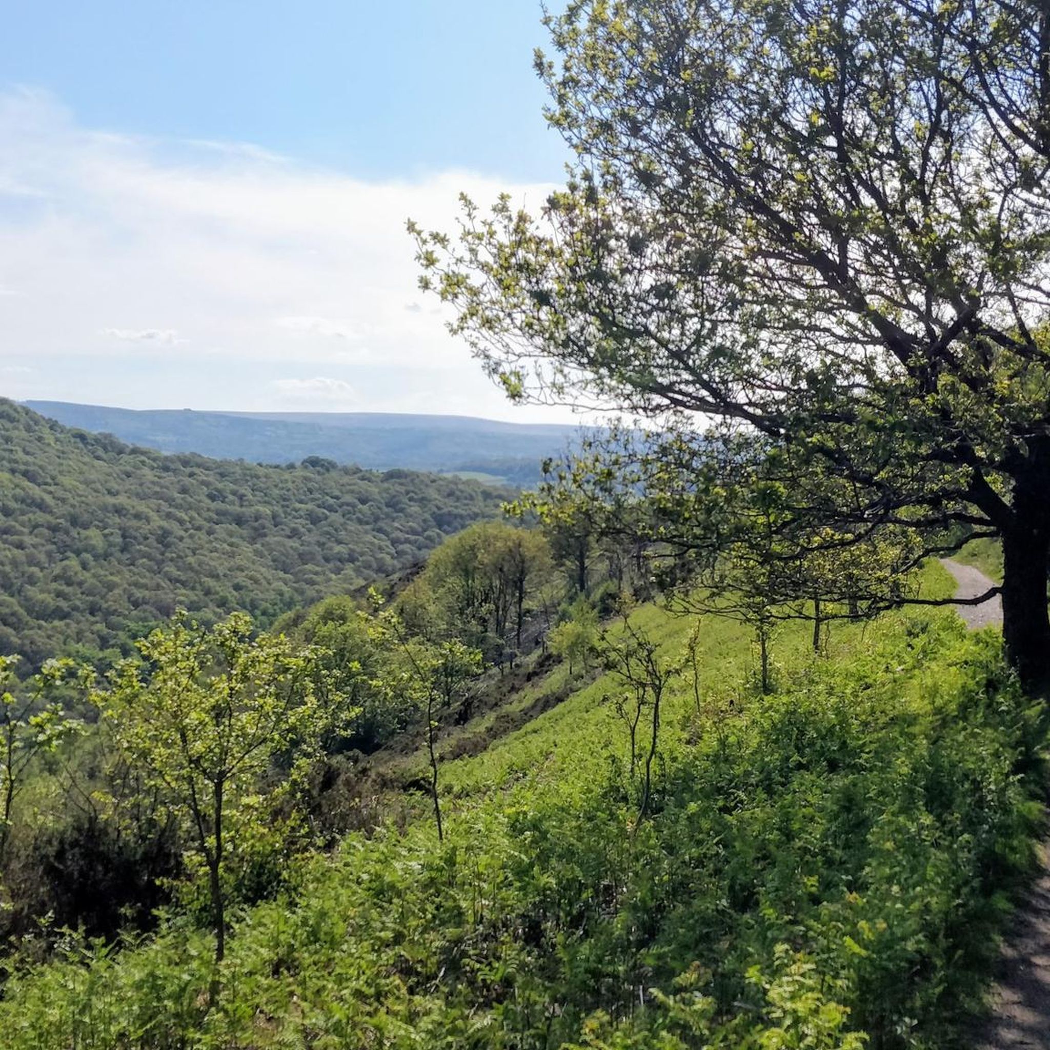
Enjoy the silence
1
0

A 7-mile (11km), mainly traffic free, route linking Bovey Tracey to Moretonhampstead. It follows the line of the old railway, which was closed to passengers in 1959.
0
0
シェリトンビショップでのの人気観光スポット

komootモバイルアプリでインスピレーションを得よう


さらに探索
他の地域の最高のサイクリングルートを見てみましょう。
