シャックルフォードのおすすめランニングルート
4.3
(293)
17,261
ランナー
919
ランニング
シャックルフォード周辺のジョギングルートは、広大で手つかずの砂浜とダイナミックな海岸の風景が特徴の、開発されていないバリアアイランドでのユニークな体験を提供します。地形は主に何マイルにもわたる途切れのない砂地で構成されており、近くには砂丘があり、海洋林の限られたエリアが変化に富んだ景観を提供しています。この車のない環境では、自然の地形や野生生物の中でランニングを楽しむことができます。
シャックルフォード周辺の最高のジョギングルート
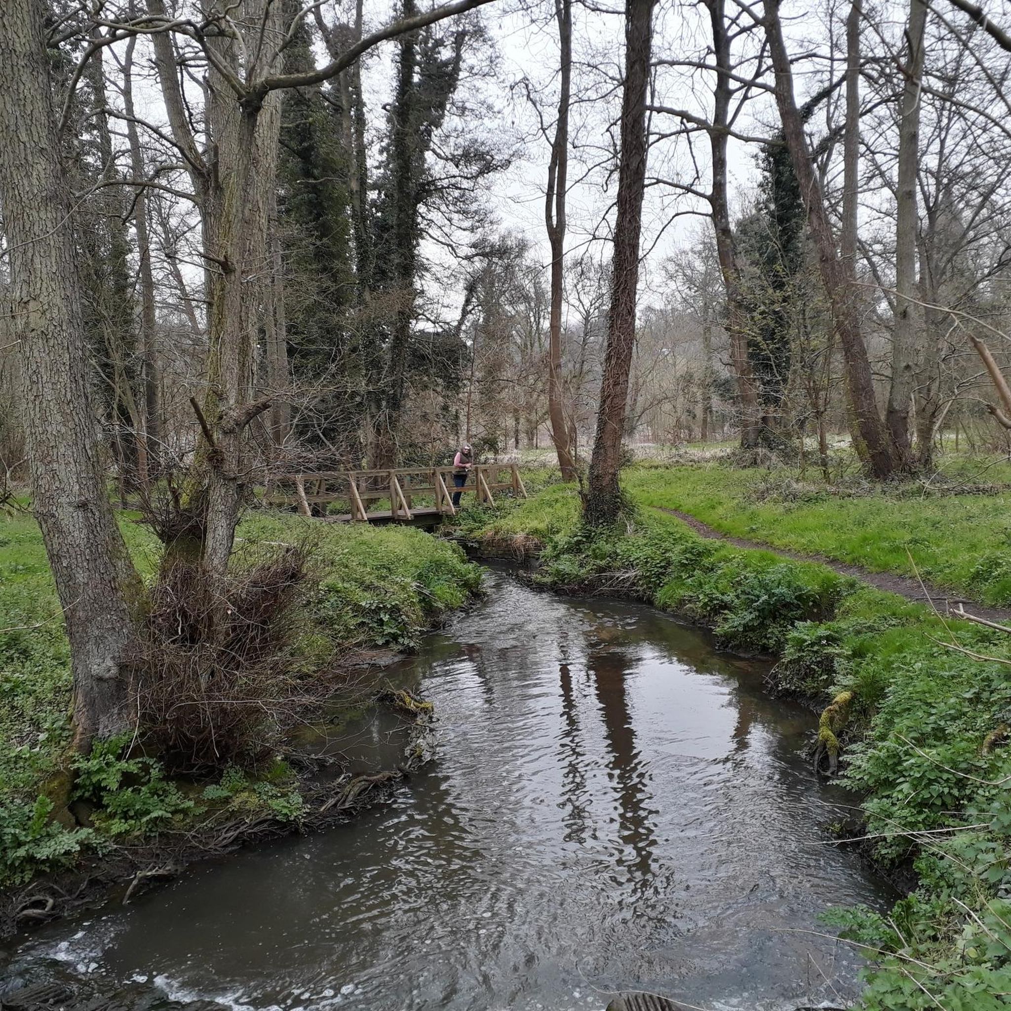
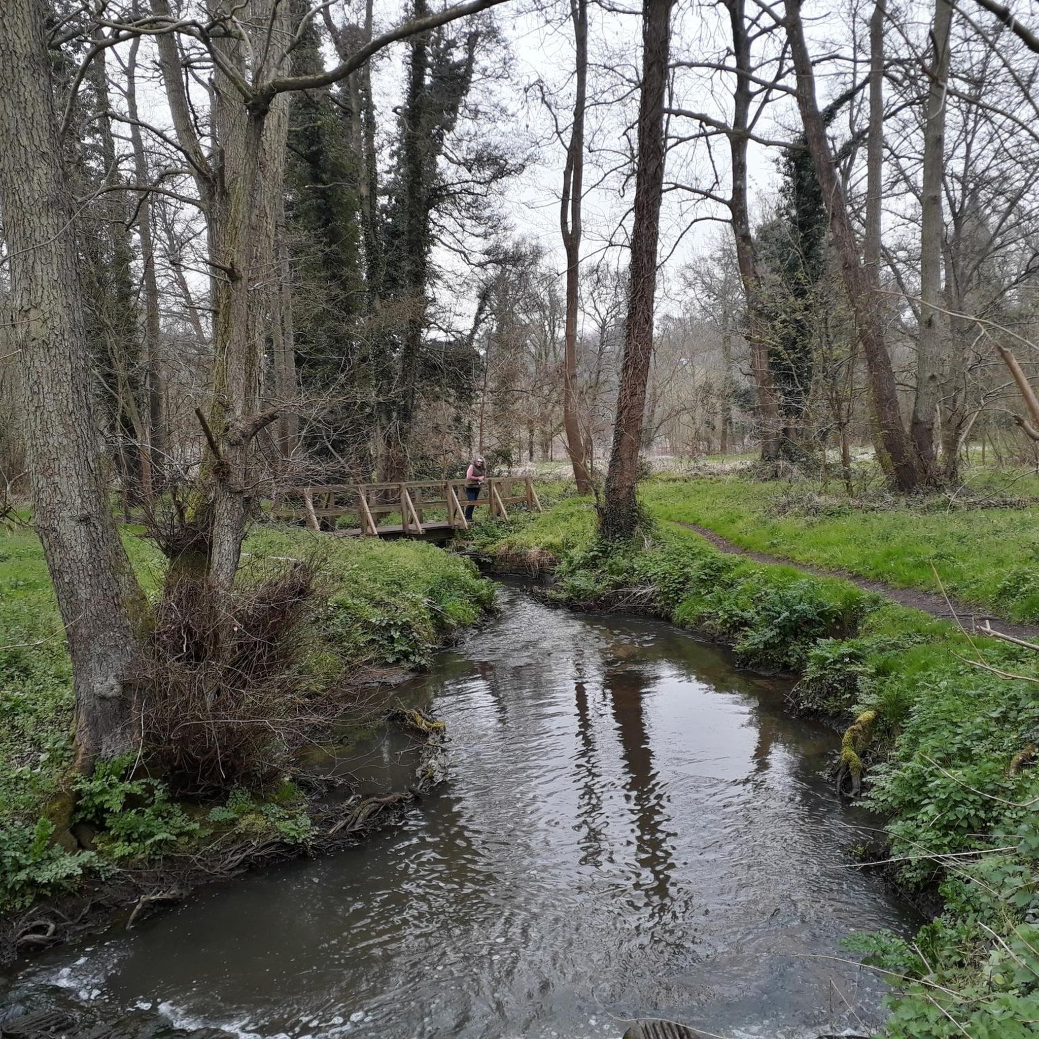
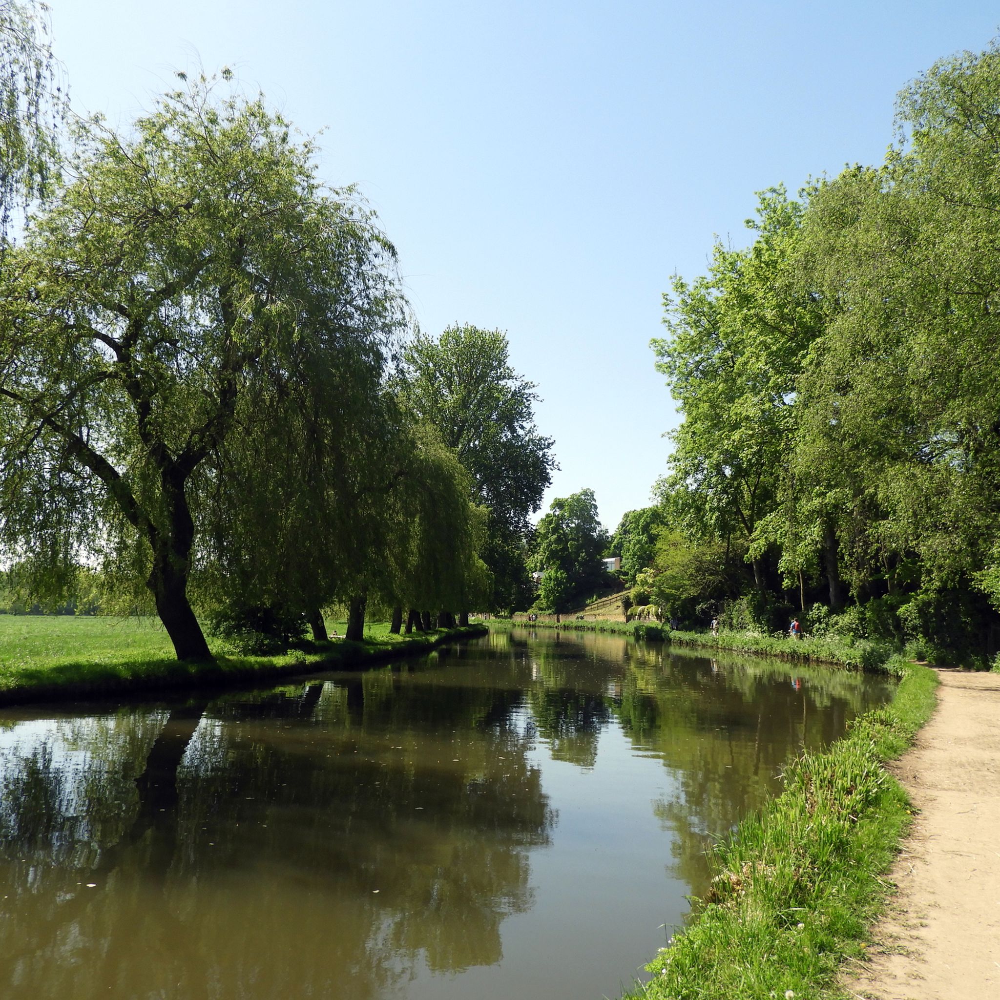
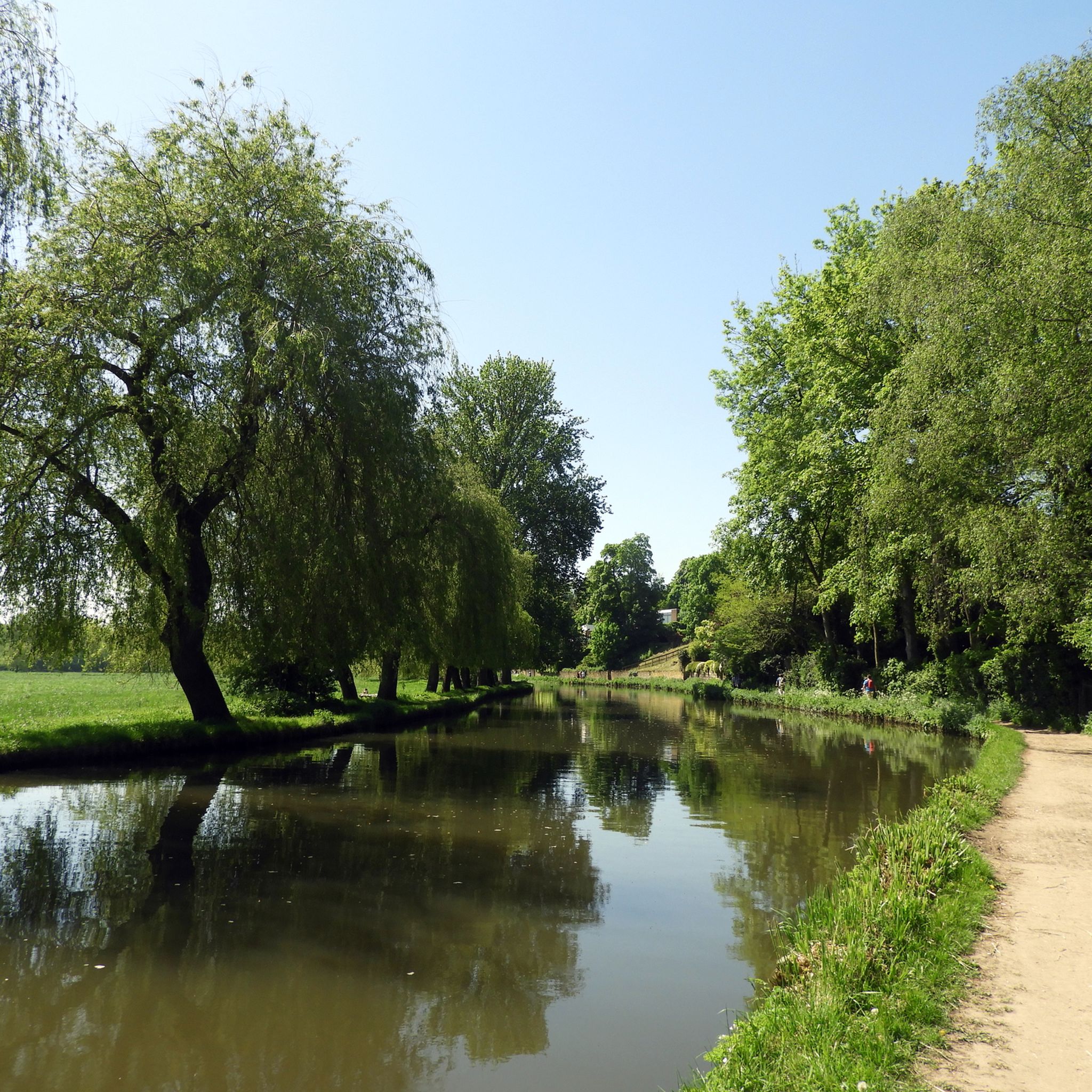
- 最も人気のあるジョギングルートは、ゴダルミング発の「リバー・ウェイ・ナビゲーション – ファーンカム・ボートハウス・ループ」で、所要時間1時間23分、距離7.3マイル(11.8 km)のトレイルです。このルートは高低差が少なく、安定したペースでのランニングに適しています。
- 地元ランナーに人気のもう一つのルートは、ゴダルミング発の「リバー・ウェイ – ボーデン・ブリッジ・ループ」で、中程度の難易度で6.5マイル(10.5 km)のルートです。このランニングルートは、いくつかの緩やかな上り坂があり、バランスの取れた体験を提供します。
- 地元ランナーに人気の「ボーデン・ブリッジ – リバー・ウェイ・ループ」は、5.0マイル(8.0 km)のトレイルで、川沿いの風景を通り抜けます。所要時間は約52分です。
- シャックルフォード周辺のジョギングは、海岸沿いの道、砂浜、湾の景色が特徴で、様々なレベルのランナーに対応するオプションがあります。
- シャックルフォードのルートは、290件以上のレビューから平均4.4つ星を獲得しており、komootコミュニティから高く評価されています。18,000人以上のランナーがkomootを利用して、シャックルフォードの多様な地形を探検しています。
最終更新日: 11月 1, 2026
4.0
(1)
85
ランナー
中程度のジョギング. ある程度のフィットネスレベルが必要です。 ほとんどが舗装路です。
42
ランナー
19.4km
02:04
110m
110m
難しいジョギング. 標準以上のフィットネスレベルが必要です。 ほとんどが舗装路です。

36
ランナー
8.64km
00:59
30m
30m
中程度のジョギング. ある程度のフィットネスレベルが必要です。 ほとんどが舗装路です。
39
ランナー
8.00km
00:52
100m
100m
中程度のジョギング. ある程度のフィットネスレベルが必要です。 ほとんどが舗装路です。
54
ランナー
27.1km
03:03
100m
100m
難しいジョギング. 標準以上のフィットネスレベルが必要です。 ほとんどが舗装路です。
さらに多くのルートや他のユーザーのおすすめ情報を確認できます。
すでにアカウントをお持ちですか?
おすすめのツアーは他のkomootユーザーが実際に経験した何千ものアクティビティに基づいています。
無料アカウントで今日から始めよう
次の冒険が待っています。

コミュニティからのヒント

There’s now a fantastic cafe at the boat house, open Tuesday to Sunday, amazing coffee and sandwiches which can be enjoyed by the river, inside the cafe or to takeaway.
1
0

A little unique feature within the Surrey Hills the area is littered with reminders of the war.
0
0

Nice quick shortcut into town. Some big steps though
0
0

Stoke Lock is a uniquely historic, well maintained and picturesque lock on the River Wey Navigation. It is situated 2 km northeast of central Guildford in Surrey. Stoke Lock has the distinction of being the oldest lock in Surrey and the oldest pound lock in England! A pound lock is where two sets of gates enclose a small section of water. The original Stoke Lock was dug in 1618-1619 by Sir Richard Weston, a wealthy landowner who lived nearby at Sutton Place. Weston created this lock not for river navigation but to make a man-made river through the grounds of Sutton Place so that he could flood meadows to improve local agriculture. Later Weston had the idea of extending his ‘new river’ all the way to the River Thames. This led to him leading and part-funding the construction of the Wey Navigation that opened in 1653. This canal provided a ‘highway’ to London for Guildford and Surrey merchants. Since 1964 the Wey Navigation has been managed by the National Trust as a leisure waterway for narrowboats and small cruisers. Despite its proximity to the Slyfield Industrial Estate, Stoke Lock has a beautiful setting. It is pleasant and relaxing to stroll past the lock and to see the brightly-coloured narrow boats passing through it. The adjacent lock-keeper’s cottage that was built in 1882 to replace an earlier one, adds to the historic and picturesque scene.
1
0

Guildford Castle is a hidden part of the city which is easy to miss if you run along the river or to the picturesque high street. It dates from the early Norman times and is always surrounded by beautiful flower displays in its grounds.
0
0
This highlight has notable historical significance. It shows the place where the old Wey and Arun Canal started from on the River Wey. For several decades in the 19th century the Wey and Arun Canal was a vital trade link between the south coast and the River Thames and London. The Canal was 23-miles long and linked the rivers Wey and Arun between Shalford in Surrey and Pallingham in Sussex. Commercial trade on the Wey and Arun Canal reached a peak of 23,000 tons in 1839. However, with the establishment of the railways canal trade traffic started to decrease and had virtually stopped by 1868. Although no longer looking at its best the start of the old Canal is still evident 150 years after most canal traffic ceased. Restoration of the Wey and Arun Canal is underway and it is planned that “London’s lost route to the sea” will eventually be reopened.
0
0

Picturesque old lock with cottage on the Wey navigation
0
0
シャックルフォードでのの人気観光スポット

komootモバイルアプリでインスピレーションを得よう


さらに探索
他の地域の最高のランニングトレイル & ルートを見てみましょう。
