セントマルタのおすすめランニングルート
4.3
(303)
13,822
ランナー
806
ランニング
セントマルタでランニングを楽しめば、このエリアをより深く知ることができます。ランニングに適した美しいルートが見つかるように、komootがセントマルタでのルートのコレクション全体を評価して選び抜いた、人気ランニングトレイルをご紹介します。ルートをクリックして詳細を表示し、他のユーザーがアップロードした役立つ情報や写真を閲覧しましょう。
最終更新日: 9月 7, 2026
5.0
(2)
47
ランナー
中程度のジョギング. ある程度のフィットネスレベルが必要です。 全般的に進みやすいルートです。一部で、安定して歩行できる技術が必要です。
4.3
(4)
23
ランナー
14.5km
01:39
240m
240m
中程度のジョギング. ある程度のフィットネスレベルが必要です。 全般的に舗装された状態です。あらゆるスキルレベルに適しています。

無料新規登録
5.0
(1)
2
ランナー
4.97km
00:33
50m
50m
This easy 3.1-mile (5.0 km) jogging loop through Blackheath Common and The Fox Way offers varied scenery from heathland to dense woodlands.
113
ランナー
42.4km
04:54
730m
730m
難しいジョギング. 標準以上のフィットネスレベルが必要です。 全般的に進みやすいルートです。一部で、安定して歩行できる技術が必要です。
4.0
(1)
95
ランナー
22.1km
02:39
350m
350m
難しいジョギング. 標準以上のフィットネスレベルが必要です。 全般的に舗装された状態です。あらゆるスキルレベルに適しています。
さらに多くのルートや他のユーザーのおすすめ情報を確認できます。
無料新規登録
すでにアカウントをお持ちですか?
おすすめのツアーは他のkomootユーザーが実際に経験した何千ものアクティビティに基づいています。



コミュニティからのヒント


We walked past here in September 2025 but sadly the waterfall was totally dry and not running even tho it had been a very rainy week. A lot of the vegetation around it has also been cut.
0
0

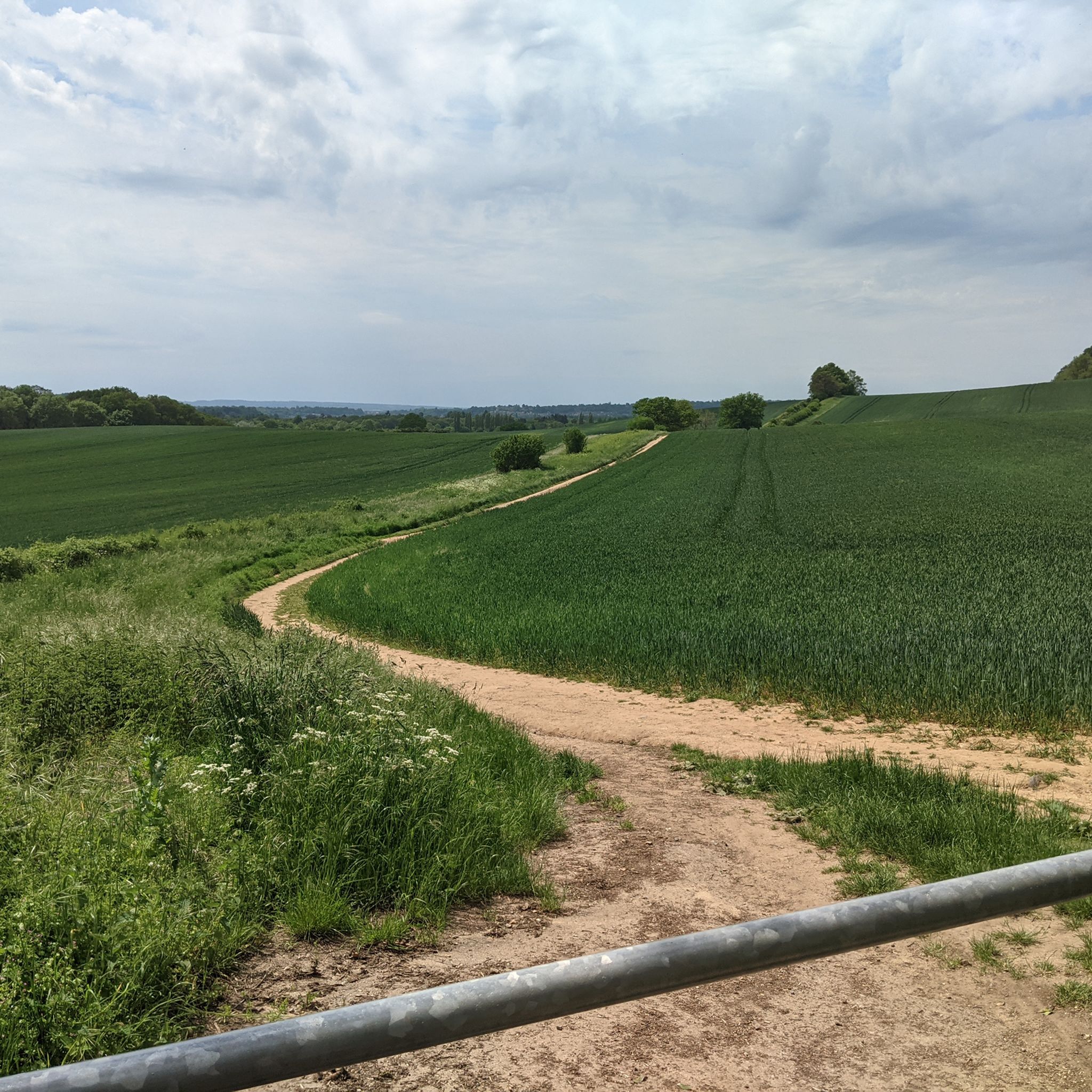
Great area for winter running, sandy terrain makes it good under foot in bad weather.
0
0

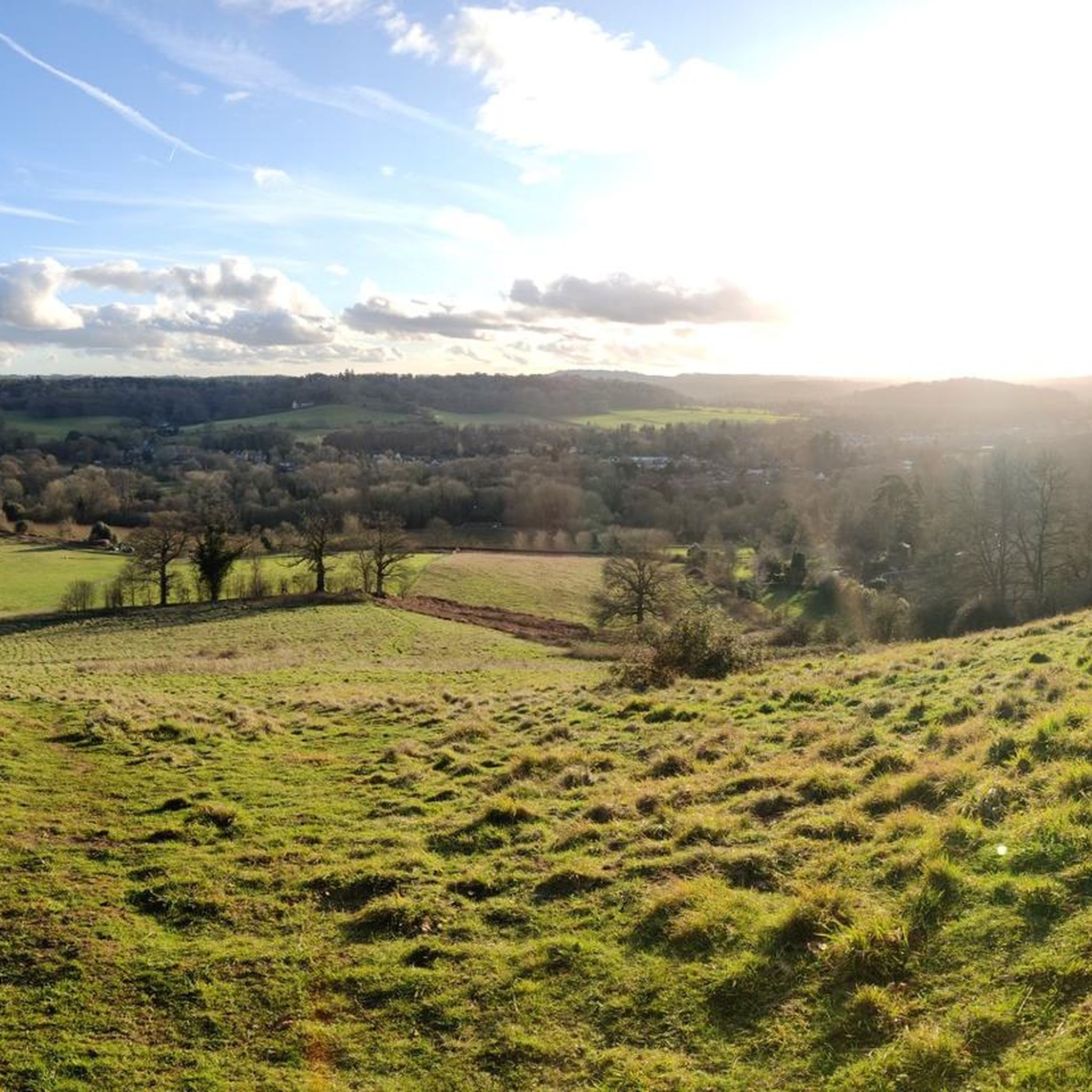
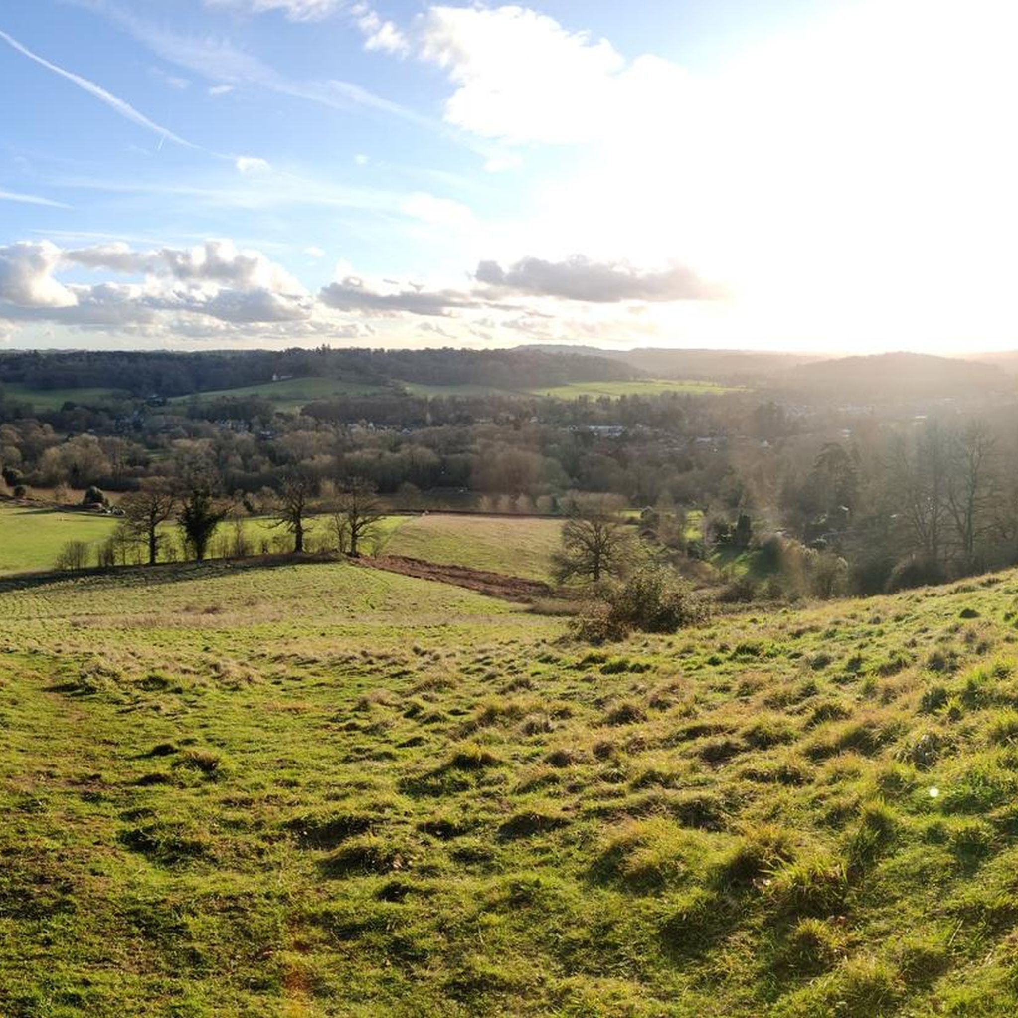
Stunning view! Especially if this is on the last few kilometres of a trail run 😀
0
0


Considering the recent wet weather, this was dry and fenced off, totally pointless location
1
0

The open summit of Holmbury Hill offers beautiful panoramic views. A delightful toposcope adds to the pleasure allowing you to identify features over 20 miles away. For example, from here on a clear day it is straightforward to see the prehistoric hill fort of Chanctonbury Ring on the South Downs located 20 miles (32 km) due south. Holmbury Hill is one of the three classic Surrey hills - along with Box Hill and Leith Hill - included in the ‘Surrey Three Peaks Challenge’. This 23-mile (37 km) round trip is comparable in distance to the Yorkshire Three Peaks Challenge but has a third less climbing. For less energetic hikers there is also a pleasant shorter three peaks Surrey walk comprising Pitch Hill, Holmbury Hill and Leith Hill which has a round trip length of 12 miles (19 km).
1
0

The Leith Hill Tower is a Gothic tower located at the top of Leith Hill in Surrey, England. It was originally built in 1765 by Richard Hull of Leith Hill Place as “a place for people to enjoy the glory of the English countryside”. It is currently owned by the National Trust and is open to visitors. The tower offers beautiful views of the surrounding area and has an information center halfway up the tower and a servery at the bottom.
1
0
セントマルタでのの人気観光スポット

komootモバイルアプリでインスピレーションを得よう


さらに探索
他の地域の最高のランニングトレイル & ルートを見てみましょう。
