メラウのおすすめツーリングルート
4.4
(1268)
12,494
ライダー
16
ライド
Les itinéraires cyclables de Mellau traversent les paysages variés de la région de Bregenzerwald en Autriche, dans le Vorarlberg. La région offre un mélange de fonds de vallée, de pistes fluviales et de terrains alpins difficiles, avec des dénivelés importants. Les caractéristiques naturelles clés comprennent le massif proéminent du Kanisfluh, le ruisseau Mellenbach et la rivière Bregenzer Ach, qui offrent des environnements cyclables variés. Le paysage passe de routes douces le long des cours d'eau à des ascensions plus exigeantes dans les montagnes environnantes.
Meilleurs itinéraires cyclables autour de Mellau
- L'itinéraire cyclable le plus populaire est la Vue sur la vallée de Tannberg – Boucle de la gorge de la vallée escarpée depuis Mellau, un sentier de 40,9 km (25,4 miles) qui prend 4 heures 0 minutes à parcourir. Cet itinéraire difficile offre des montées importantes et des vues panoramiques.
- Un autre favori des cyclistes locaux est la Hôtel Café Pizza Fontaine – Boucle de l'église paroissiale de Bezau depuis Mellau, un chemin difficile de 22,4 km (13,9 miles). Cet itinéraire présente un terrain varié avec des dénivelés notables.
- Les cyclistes locaux apprécient également la Piste cyclable de la Bregenzer Ache – Sentier de la rivière Bregenzerach en boucle depuis Mellau, un sentier de 52,5 km (32,6 miles) traversant des vallées fluviales et montant vers des terrains plus élevés, souvent complété en environ 4 heures 0 minutes.
- Le cyclotourisme autour de Mellau est défini par les vallées fluviales, les ascensions alpines et les vues sur le massif du Kanisfluh. Le réseau offre des options pour différents niveaux de compétence, des balades tranquilles aux itinéraires de montagne difficiles.
- Les itinéraires de Mellau sont très appréciés par la communauté komoot avec une note moyenne de 4,4 étoiles sur plus de 1100 avis. Plus de 12000 cyclistes ont utilisé komoot pour explorer le terrain varié de Mellau.
最終更新日: 10月 7, 2026
4.8
(50)
746
ライダー
40.9km
04:01
1,370m
1,370m
難しい自転車ライド. 標準以上のフィットネスレベルが必要です。 全般的に舗装された状態です。あらゆるスキルレベルに適しています。
4.0
(1)
100
ライダー
54.9km
04:12
1,360m
1,360m
難しい自転車ライド. 標準以上のフィットネスレベルが必要です。 全般的に舗装された状態です。あらゆるスキルレベルに適しています。

4.7
(12)
91
ライダー
22.1km
01:40
400m
400m
中程度の自転車ライド. ある程度のフィットネスレベルが必要です。 全般的に舗装された状態です。あらゆるスキルレベルに適しています。
5.0
(2)
90
ライダー
51.8km
03:25
770m
770m
難しい自転車ライド. 標準以上のフィットネスレベルが必要です。 全般的に舗装された状態です。あらゆるスキルレベルに適しています。
5.0
(3)
68
ライダー
17.1km
01:47
440m
440m
中程度の自転車ライド. ある程度のフィットネスレベルが必要です。 全般的に舗装された状態です。あらゆるスキルレベルに適しています。
さらに多くのルートや他のユーザーのおすすめ情報を確認できます。
すでにアカウントをお持ちですか?
おすすめのツアーは他のkomootユーザーが実際に経験した何千ものアクティビティに基づいています。
無料アカウントで今日から始めよう
次の冒険が待っています。
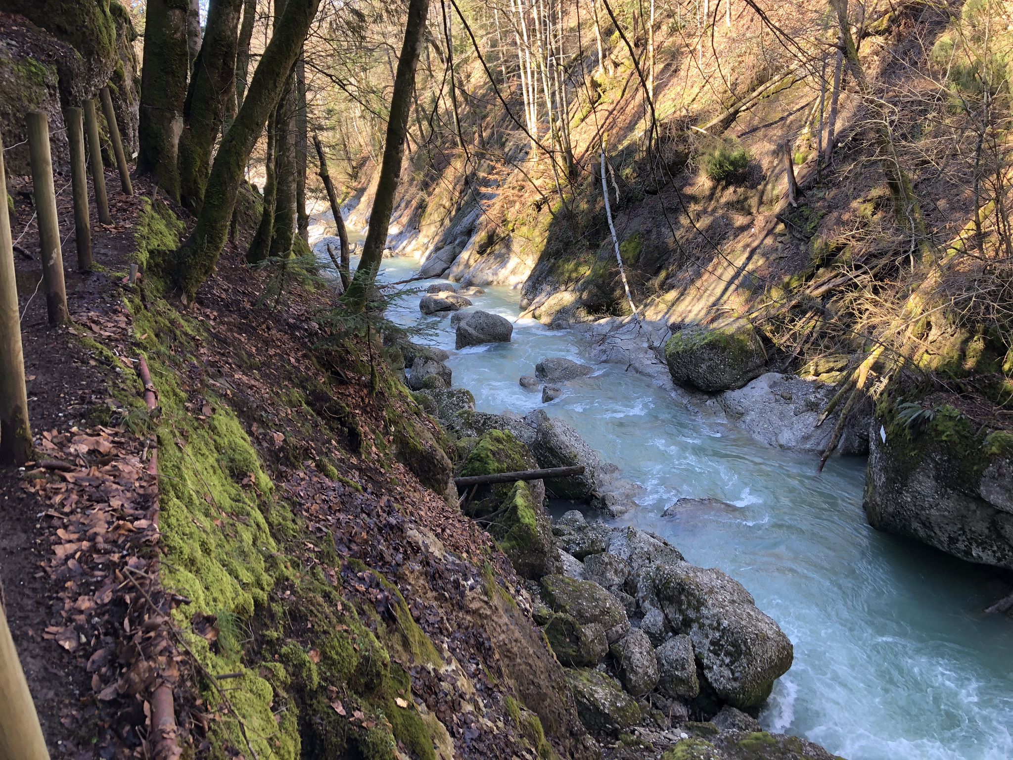
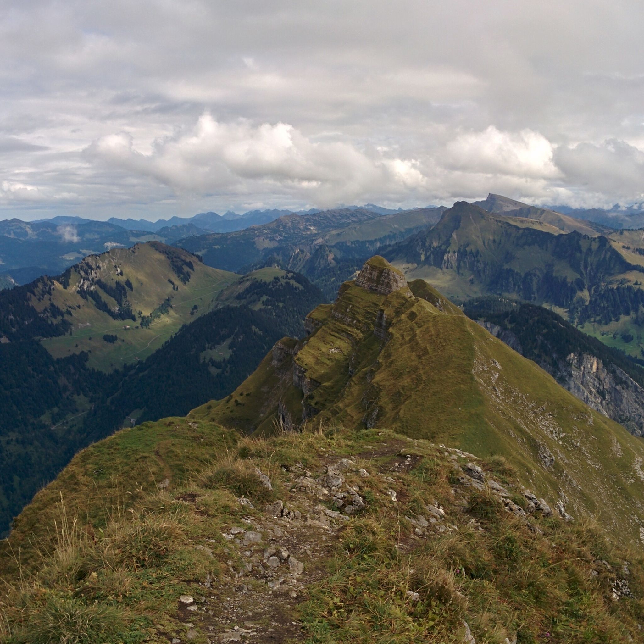
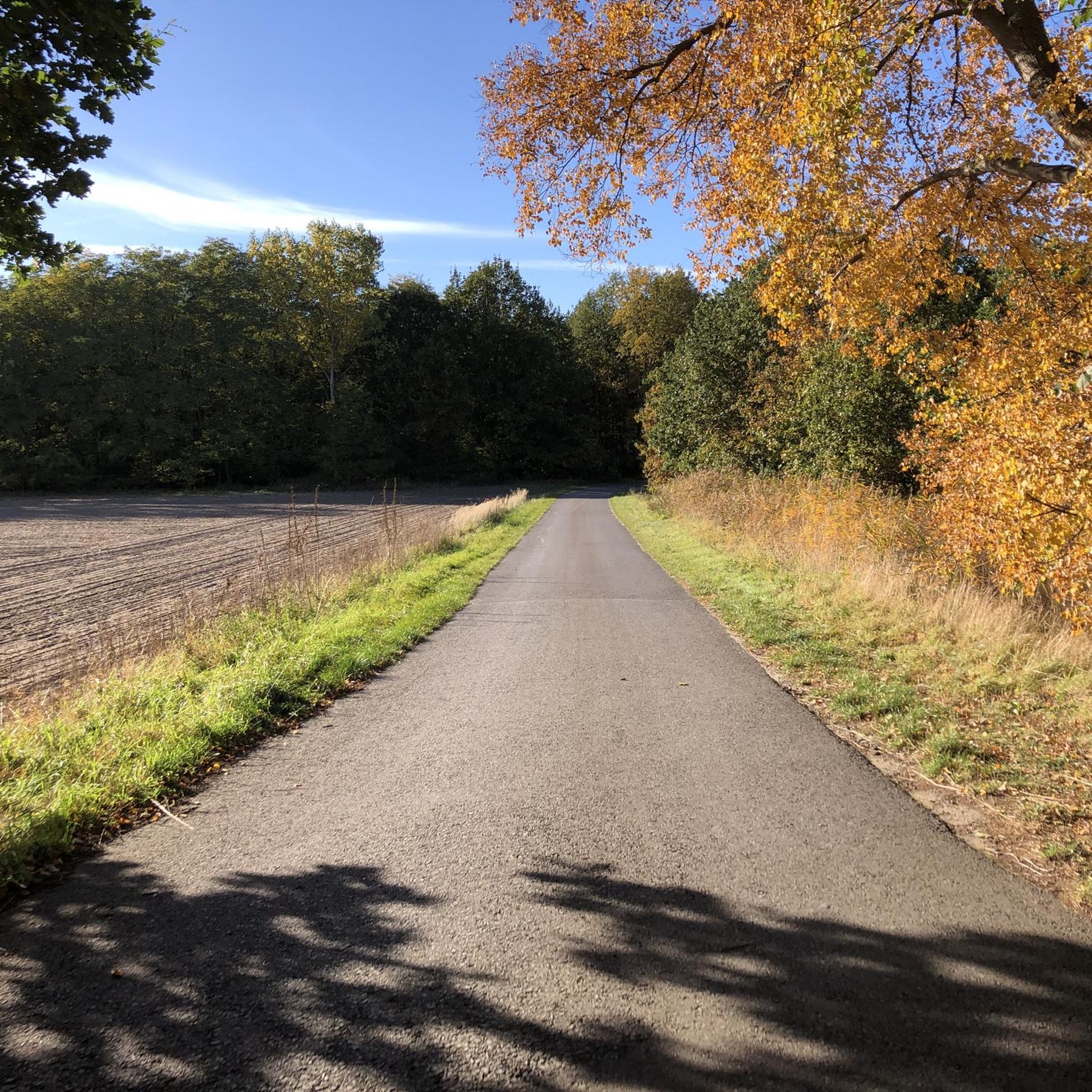
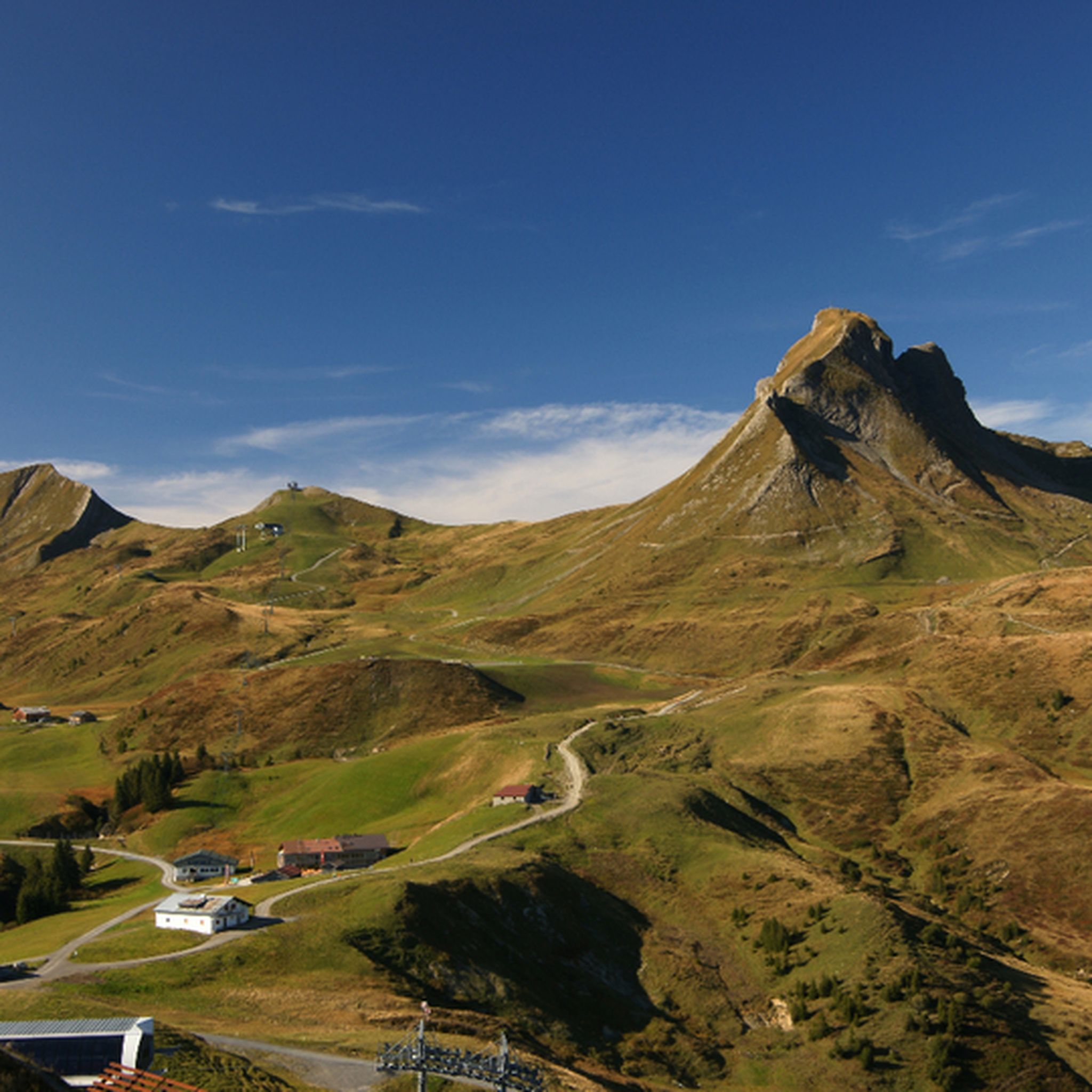
メラウでのの他の冒険


コミュニティからのヒント

The Mellental valley stretches for a long time in a deep mountain gorge behind Mellau and finally ends at about the same elevation as the Hohes Licht mountain.
2
0
View into the Mellental valley behind Mellau. There are some beautiful viewpoints here on the open alpine meadows.
2
0

Fahrplan gibs hier https://waelderbaehnle.at/bregenzerwald-museumsbahn-waelderbaehnle
0
0

In Langenegg there are some good dining options such as a café and supermarket.
0
0

The old wooden bridge has a window towards Schoppernau, great to take pictures from there ⛰️👌
1
0

From the Dornbirn side, the route is wide and has a fairly constant gradient of a maximum of 10%. It offers beautiful views towards the Rhine Valley and Lake Constance, but there's little shade, making it a challenge in the summer heat. It's relatively busy, so enjoy it in the early morning hours if possible. The Schwarzenberg side is smaller and more winding, but also leads mostly uphill through meadows with great views but little shade. The very good road surface (June 2025) makes both up and down enjoyable.
0
0

Just before the end of the valley you can look over and see the climb that you are about to cycle up
0
0

A really strenuous climb from Dornbirn
1
0

komootモバイルアプリでインスピレーションを得よう


さらに探索
他の地域の最高のサイクリングルートを見てみましょう。
