クイーンズバラのおすすめウォーキング&ハイキングルート
4.1
(110)
977
ハイカー
110
ハイキング
クイーンズバラ 周辺でおすすめのハイキングやウォーキングを楽しんでいただけるように、このエリアの小径やルートを集めたkomootコレクション全体を見直しました。 以下で各ルートの詳細をご覧になり、クイーンズバラ周辺の大自然を満喫する際の参考にしてください。
最終更新日: 11月 3, 2026
4.3
(3)
43
ハイカー
8.95km
02:16
20m
20m
中程度のハイキング. ある程度のフィットネスレベルが必要です。 歩きやすい道です。
4.0
(3)
14
ハイカー
9.21km
02:20
20m
20m
中程度のハイキング. ある程度のフィットネスレベルが必要です。 歩きやすい道です。

5.0
(1)
23
ハイカー
4.18km
01:04
10m
10m
初級者向けハイキング. 歩きやすい道です。
4.5
(4)
25
ハイカー
4.77km
01:13
20m
20m
初級者向けハイキング. 歩きやすい道です。
16
ハイカー
3.98km
01:00
10m
10m
初級者向けハイキング. 歩きやすい道です。
さらに多くのルートや他のユーザーのおすすめ情報を確認できます。
すでにアカウントをお持ちですか?
おすすめのツアーは他のkomootユーザーが実際に経験した何千ものアクティビティに基づいています。
無料アカウントで今日から始めよう
次の冒険が待っています。

コミュニティからのヒント


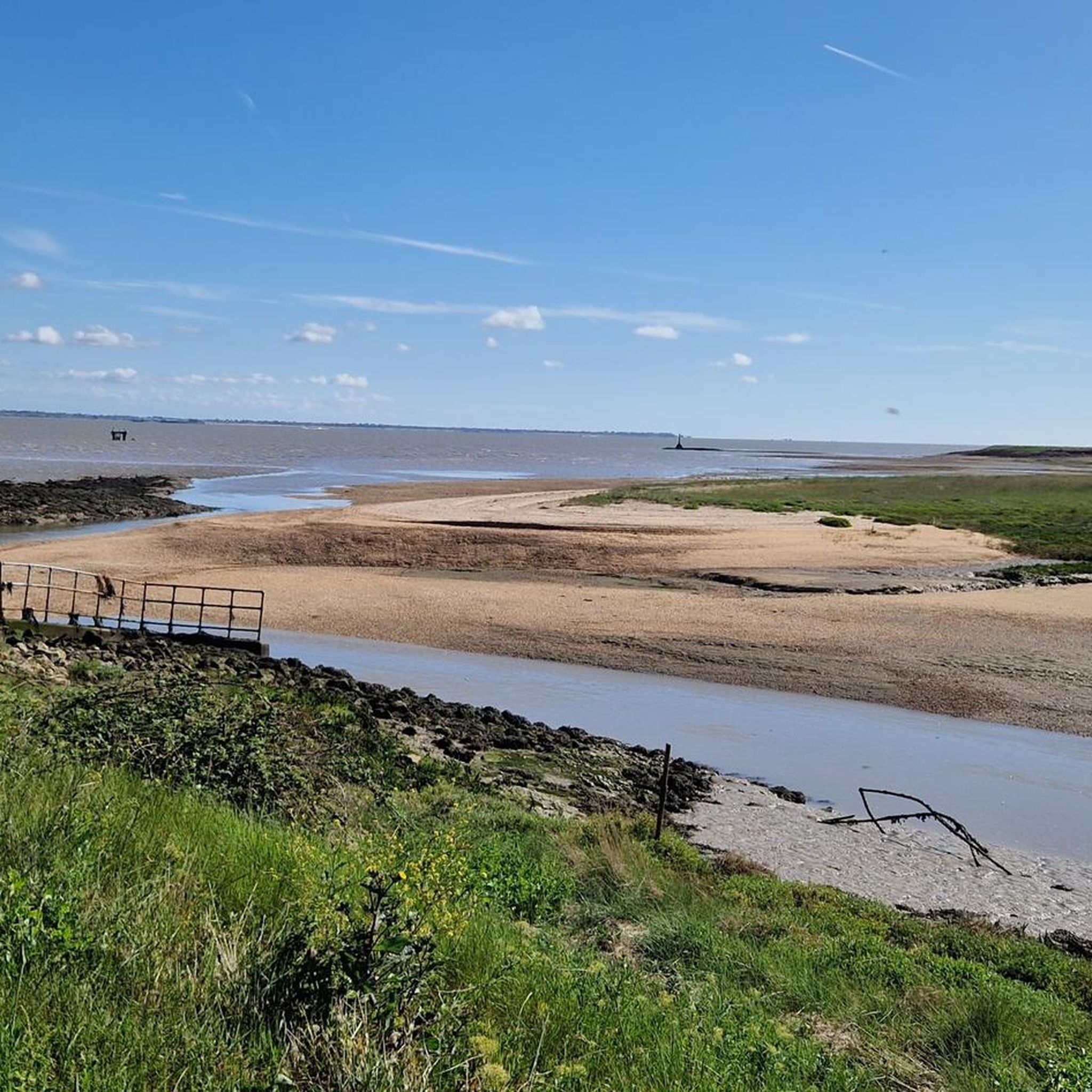
Swale Station is a small, unmanned railway stop located on the Sittingbourne to Sheerness line in Kent, England. Opened in 1922 to serve the nearby Kingsferry Bridge, it primarily caters to local passengers and walkers exploring the surrounding marshlands and the England Coast Path. The station features two short platforms connected by a level crossing and offers a quiet, rural atmosphere with views of the Swale estuary. Though minimal in facilities, Swale Station provides convenient access to the Isle of Sheppey and serves as a tranquil gateway between the mainland and the island’s scenic landscapes.
0
0

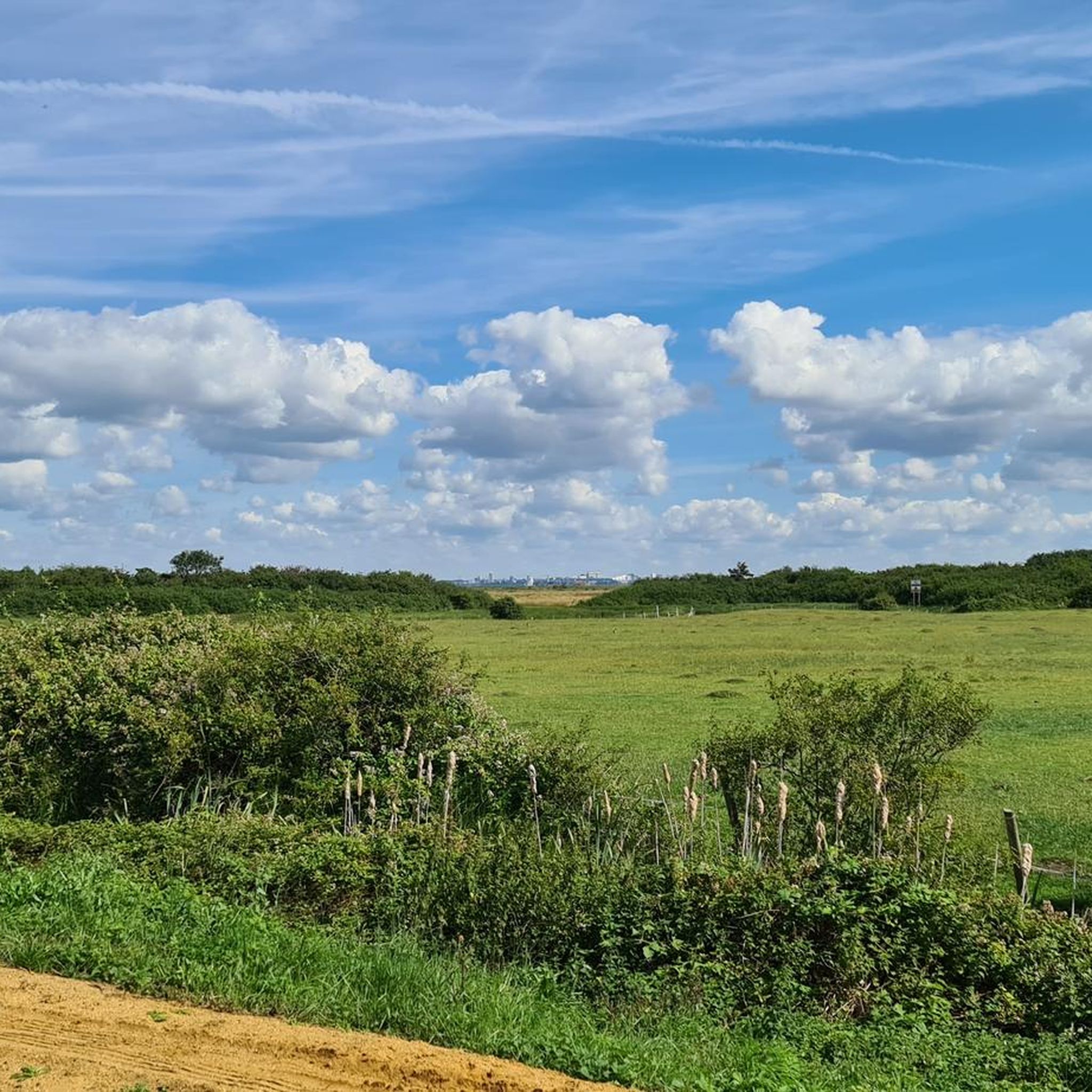
40 acres of outstanding natural beauty, a salt-water lake and a section of the Sheppey Cycle Route
0
0
On 5 September 2013, a huge pile-up occurred on the southbound carriageway of the Sheppey Crossing, which at the time was a covered in heavy fog.
1
0
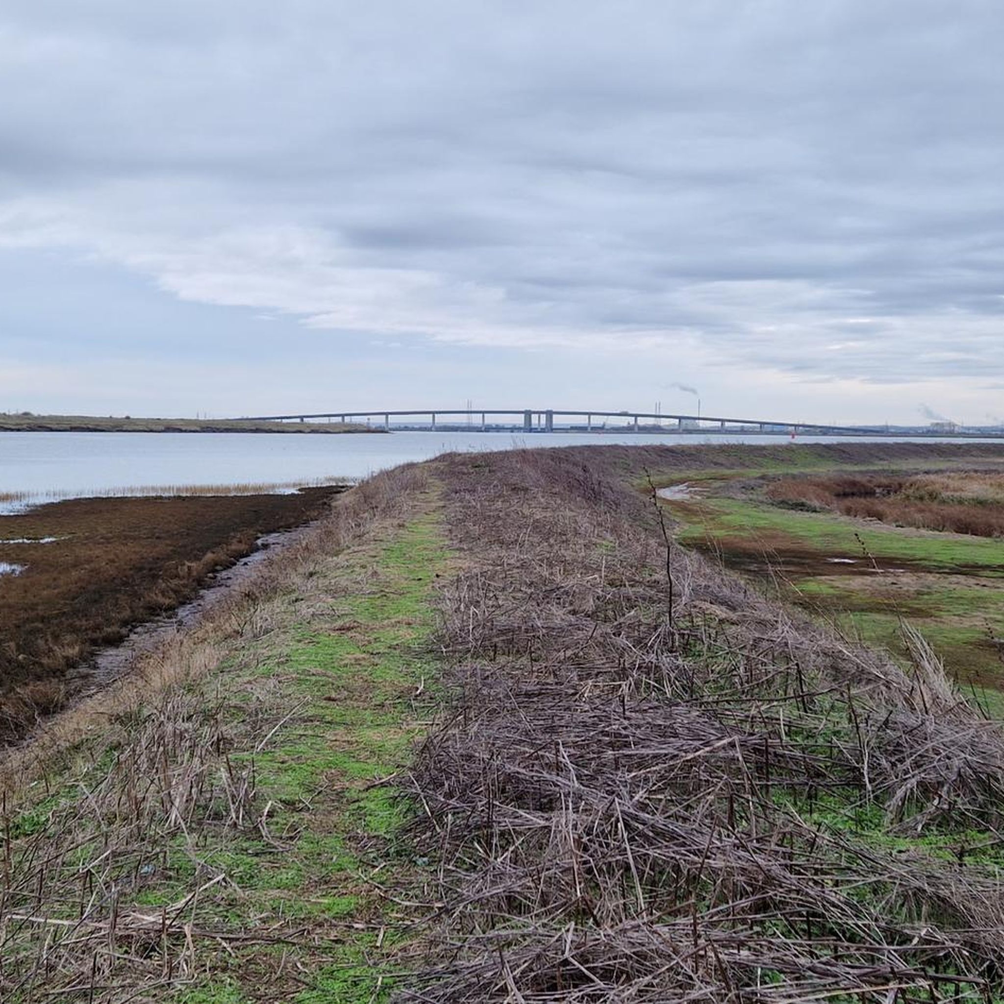
The Sheppey Crossing is a bridge which carries the A249 road across the Swale linking the Isle of Sheppey with the mainland of Kent.
0
0

End of the road but worth a little ride down the front to enjoy the view. Watch out for dog walkers. You can only go so far before it's fenced off.
0
0

The new elegant-looking bridge out to the Isle of Sheppy and the original bridge which includes the railway cross. The four-lane crossing measures 21.5 m (71 feet) in width, at a height of 35 m (115 feet) over the water. The bridge opened in 2006, and it provides an alternative highway to the neighboring Kingsferry Bridge which was completed in 1959.
0
0
クイーンズバラでのの人気観光スポット

komootモバイルアプリでインスピレーションを得よう


さらに探索
他の地域の最高のハイキングを見てみましょう。
