ブルガリアのおすすめウォーキング&ハイキングルート
4.6
(5363)
39,910
ハイカー
1,697
ハイキング
ブルガリアでのハイキングに出かけて、ヨーロッパのこのエリアを探索してみませんか?このガイドでご紹介するのは、komootがブルガリアでのハイキング・ウォーキングルートのコレクション全体を評価して選び抜いた、このエリアの人気ハイキングルートです。あなたに合った でのハイキングを見つけるには、他のユーザーがアップロードした役立つ情報や写真を閲覧し、各ルートに関するみんなの意見やコメントを参考にしましょう。
最終更新日: 9月 5, 2026
4.8
(171)
1,056
ハイカー
12.2km
04:08
490m
490m
中程度のハイキング. ある程度のフィットネスレベルが必要です。 全般的に進みやすいルートです。安定して歩行できる技術が必要です。
4.9
(111)
611
ハイカー
18.3km
07:43
1,100m
1,100m
難しいハイキング. 標準以上のフィットネスレベルが必要です。 安定して歩行できる技術、丈夫な靴、高標高地での登山経験が必要です。

4.9
(85)
370
ハイカー
10.7km
04:32
570m
570m
中程度のハイキング. ある程度のフィットネスレベルが必要です。 全般的に進みやすいルートです。安定して歩行できる技術が必要です。
4.7
(72)
352
ハイカー
10.5km
04:39
740m
740m
中程度のハイキング. ある程度のフィットネスレベルが必要です。 全般的に進みやすいルートです。安定して歩行できる技術が必要です。
4.9
(41)
399
ハイカー
14.3km
07:44
1,260m
1,270m
難しいハイキング. 標準以上のフィットネスレベルが必要です。 安定して歩行できる技術、丈夫な靴、高標高地での登山経験が必要です。
4.7
(50)
425
ハイカー
11.2km
04:49
740m
740m
難しいハイキング. ある程度のフィットネスレベルが必要です。 安定して歩行できる技術、丈夫な靴、高標高地での登山経験が必要です。
4.7
(69)
374
ハイカー
7.24km
03:31
540m
540m
中程度のハイキング. ある程度のフィットネスレベルが必要です。 全般的に進みやすいルートです。安定して歩行できる技術が必要です。
4.7
(98)
419
ハイカー
5.92km
03:14
530m
530m
難しいハイキング. ある程度のフィットネスレベルが必要です。 安定して歩行できる技術、丈夫な靴、高標高地での登山経験が必要です。
4.9
(65)
200
ハイカー
6.00km
02:26
270m
270m
中程度のハイキング. ある程度のフィットネスレベルが必要です。 全般的に進みやすいルートです。安定して歩行できる技術が必要です。
4.9
(25)
130
ハイカー
14.7km
05:40
770m
770m
難しいハイキング. 標準以上のフィットネスレベルが必要です。 全般的に進みやすいルートです。安定して歩行できる技術が必要です。
さらに多くのルートや他のユーザーのおすすめ情報を確認できます。
すでにアカウントをお持ちですか?
おすすめのツアーは他のkomootユーザーが実際に経験した何千ものアクティビティに基づいています。
無料アカウントで今日から始めよう
次の冒険が待っています。
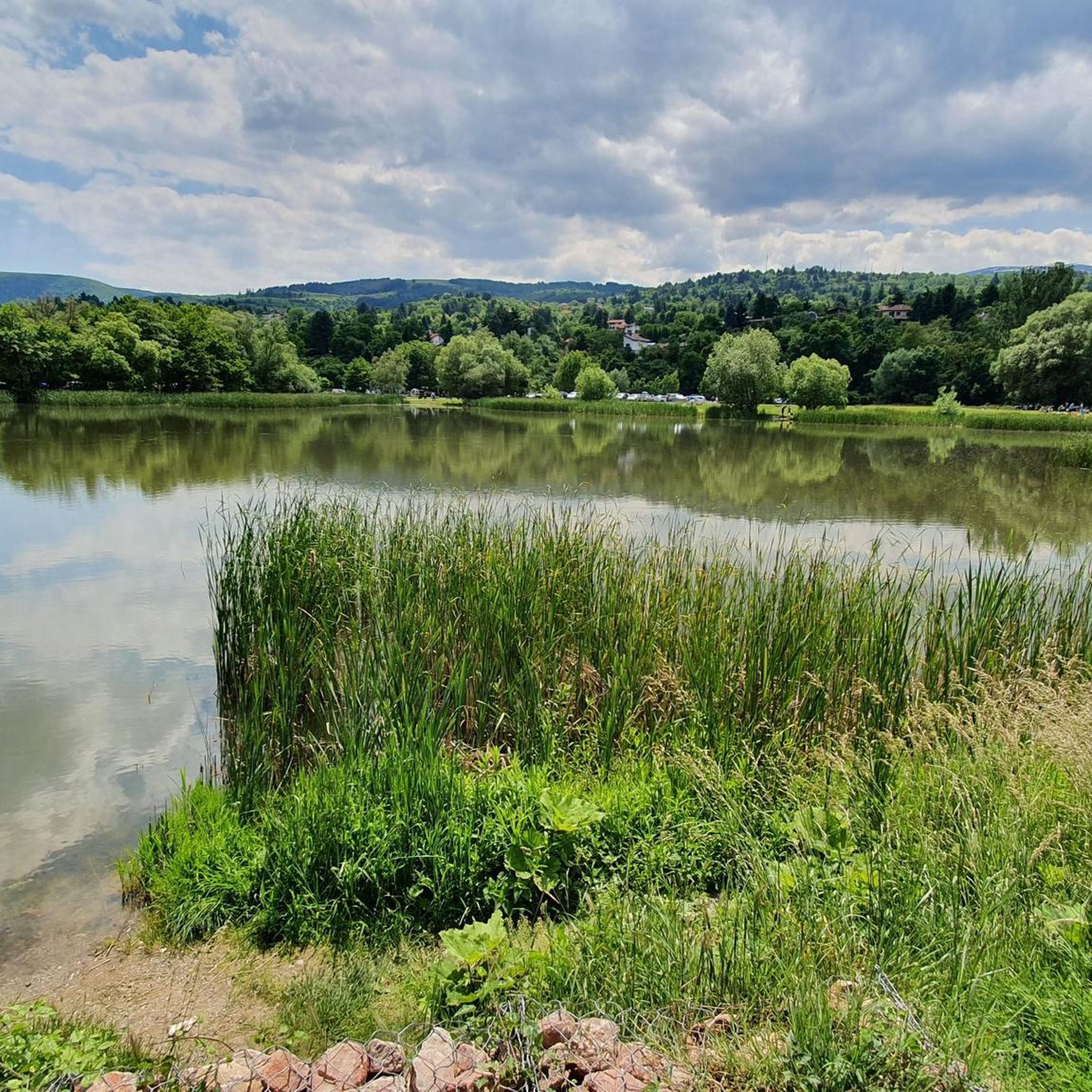
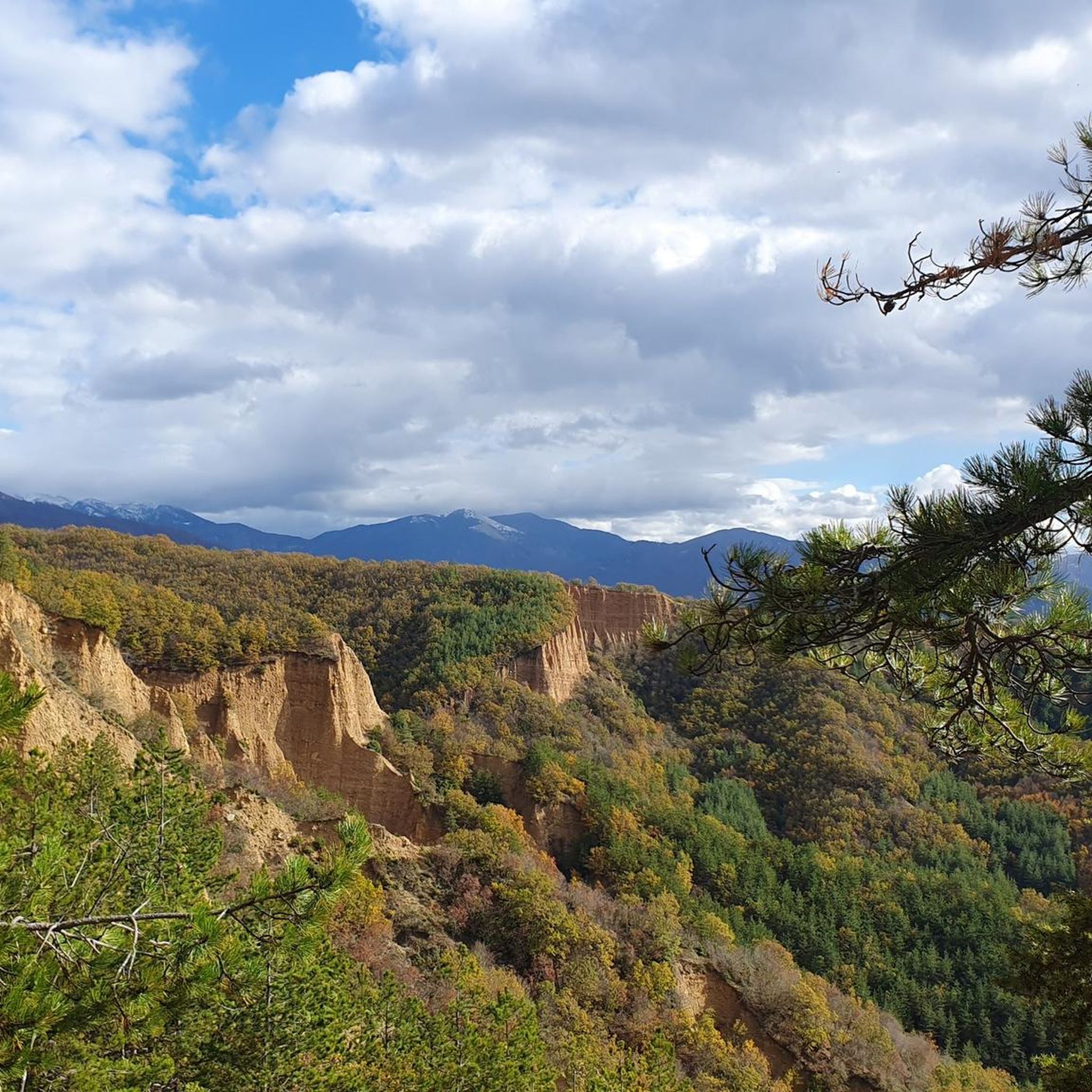
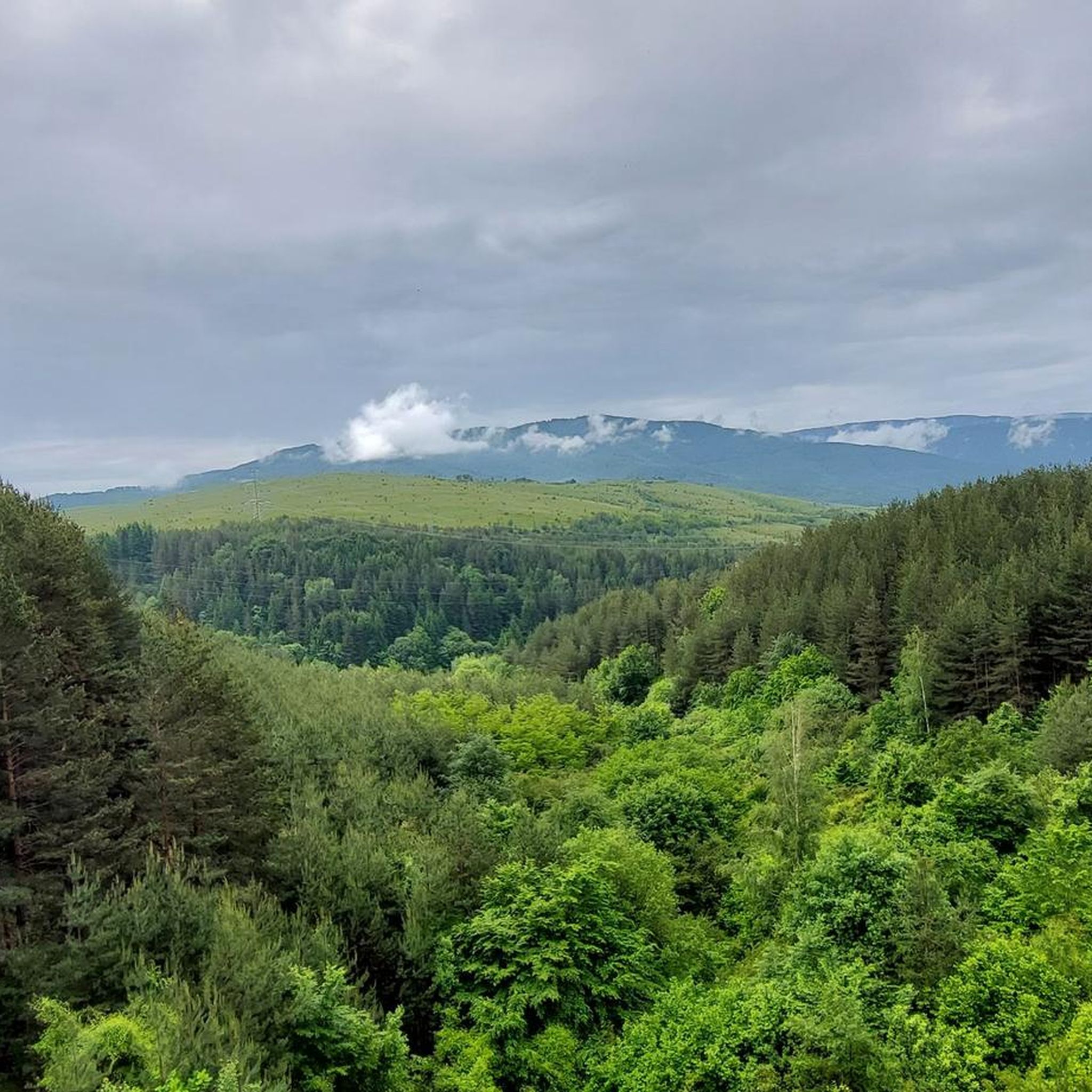
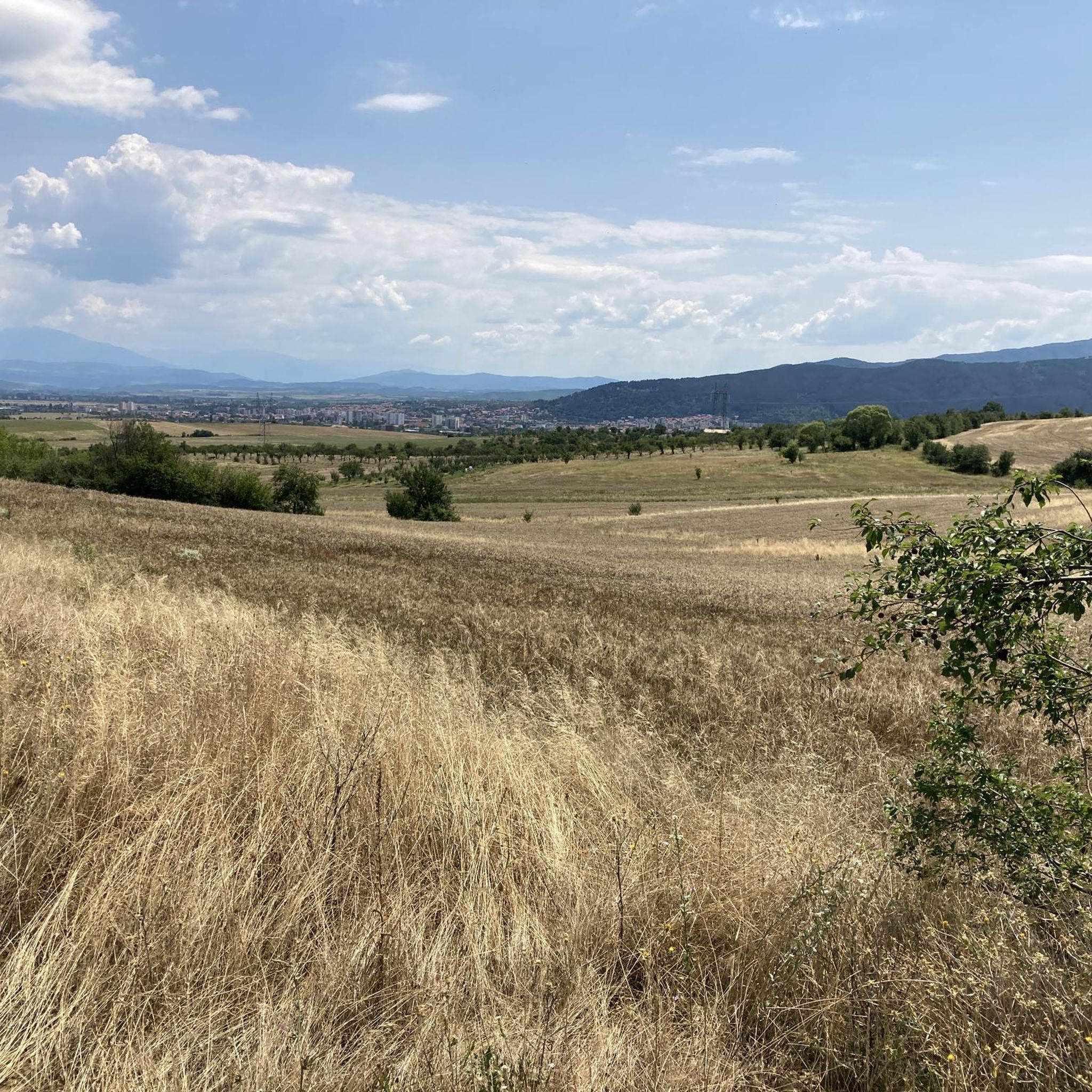
ブルガリアでのの他の冒険

コミュニティからのヒント

子供連れに特に素晴らしいハイキングで、短く、楽しく、素晴らしい景色が広がります。
0
0

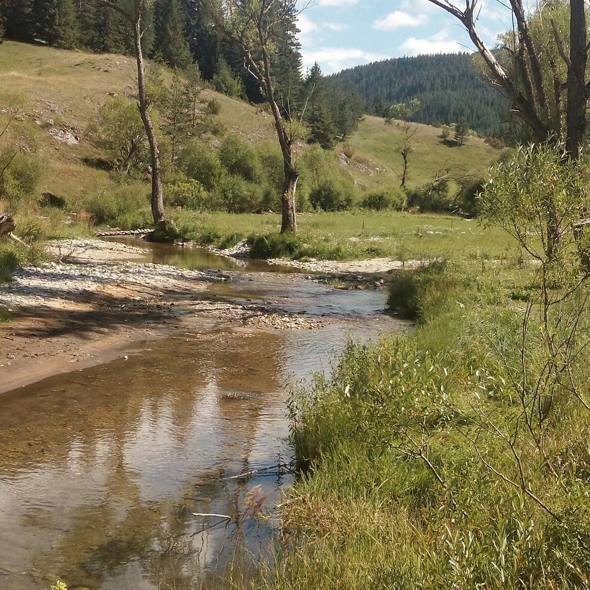
The water mirrors the trees. It’s not dramatic — it’s contemplative. A quiet place to sit, breathe, do nothing.
0
0
If you’re well-conditioned, consider extending your route up to Otovitsa Ridge for incredible views.
0
0

Start of the trail to Malyovitsa hut. In some places you can also find it as the Malyovitsa eco-trail. The route is not difficult, but it is very picturesque. The hut is located about 3km from the start of the trail and the Malyovitsa and Alpinist hotels. There is also a large paid parking lot there. A large part of the trail goes through a forest and there is a lot of shade. There is a fountain in the middle of the route, so you can safely pour yourself some water.
0
0
Unfortunately, the tap had run dry.
0
0

Great view, and delicious cuisine. You can rest a bit and have a hot soup, before going back.
0
0

Beautiful building, but sadly it was not possible to enter when I was there.
0
0
For me this was actually the finish of the hike. It was only when we got there that we realized we took the difficult trail (that information isn't offered on the other end of the trail, or at least we didn't see it). The trail was wet and because of that, it was at times a bit sketchy and dangerous. For the difficult trail it's recommended to use grippy shoes and hiking sticks.
0
0

komootモバイルアプリでインスピレーションを得よう


探していたものは見つかりませんでしたか?
ブルガリアの下にある他のハイキングをチェックして、目的地で完璧なルートを見つけましょう。
さらに探索
他の地域の最高のハイキングを見てみましょう。
