キュステンディル地域のおすすめウォーキング&ハイキングルート
4.7
(735)
4,801
ハイカー
72
ハイキング
キュステンディル地域でのハイキングに出かけて、ブルガリアのこのエリアを探索してみませんか?このガイドでご紹介するのは、komootがキュステンディル地域でのハイキング・ウォーキングルートのコレクション全体を評価して選び抜いた、このエリアの人気ハイキングルートです。あなたに合った でのハイキングを見つけるには、他のユーザーがアップロードした役立つ情報や写真を閲覧し、各ルートに関するみんなの意見やコメントを参考にしましょう。
最終更新日: 10月 17, 2026
4.9
(111)
611
ハイカー
18.3km
07:43
1,100m
1,100m
難しいハイキング. 標準以上のフィットネスレベルが必要です。 安定して歩行できる技術、丈夫な靴、高標高地での登山経験が必要です。
4.8
(60)
201
ハイカー
9.86km
04:06
550m
550m
難しいハイキング. ある程度のフィットネスレベルが必要です。 安定して歩行できる技術、丈夫な靴、高標高地での登山経験が必要です。

4.5
(18)
230
ハイカー
3.60km
01:08
140m
140m
初級者向けハイキング. あらゆるフィットネスレベルに適しています。 進みやすいルートです。あらゆるスキルレベルに適しています。
4.6
(25)
64
ハイカー
8.54km
03:39
500m
510m
難しいハイキング. ある程度のフィットネスレベルが必要です。 安定して歩行できる技術、丈夫な靴、高標高地での登山経験が必要です。
4.6
(20)
219
ハイカー
3.15km
01:03
150m
150m
初級者向けハイキング. あらゆるフィットネスレベルに適しています。 進みやすいルートです。あらゆるスキルレベルに適しています。
5.0
(22)
175
ハイカー
7.42km
03:22
440m
440m
中程度のハイキング. ある程度のフィットネスレベルが必要です。 全般的に進みやすいルートです。安定して歩行できる技術が必要です。
4.9
(10)
37
ハイカー
12.7km
03:48
390m
400m
中程度のハイキング. ある程度のフィットネスレベルが必要です。 進みやすいルートです。あらゆるスキルレベルに適しています。
4.1
(12)
66
ハイカー
5.30km
01:50
290m
290m
初級者向けハイキング. あらゆるフィットネスレベルに適しています。 進みやすいルートです。あらゆるスキルレベルに適しています。
4.0
(11)
65
ハイカー
5.30km
01:50
290m
290m
初級者向けハイキング. あらゆるフィットネスレベルに適しています。 進みやすいルートです。あらゆるスキルレベルに適しています。
4.8
(12)
55
ハイカー
10.2km
03:21
470m
470m
中程度のハイキング. ある程度のフィットネスレベルが必要です。 進みやすいルートです。あらゆるスキルレベルに適しています。
さらに多くのルートや他のユーザーのおすすめ情報を確認できます。
すでにアカウントをお持ちですか?
おすすめのツアーは他のkomootユーザーが実際に経験した何千ものアクティビティに基づいています。
無料アカウントで今日から始めよう
次の冒険が待っています。

コミュニティからのヒント

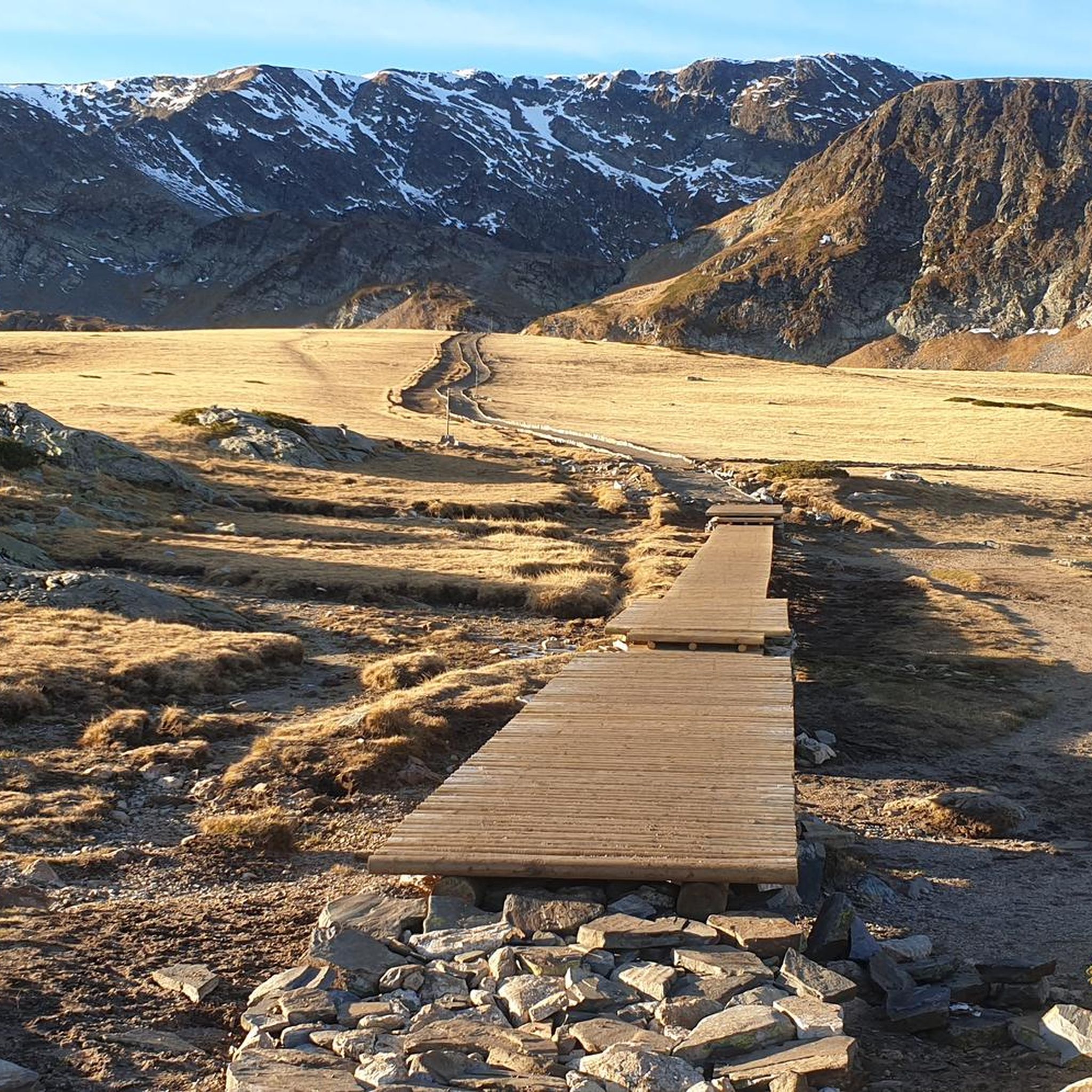
⚠️ 警告:Komootのルートが間違っています! Komootが表示しているルートは正しくありません。この地点からは、The Kidney Lake (Bubreka) に戻り、上部のルートまたは湖沿いのルートのいずれかの公式トレイルを進んで Seven Rila Lakes Hut へ向かってください。 ここに表示されている周回ルートは、公式なハイキングトレイルとしては存在しません。トレイルの標識はなく、地形は非常に困難で、この保護地域では指定されたルート外を自由に歩くことは許可されていません。 GPSナビゲーションだけに頼らず、標識のあるハイキングトレイルに従ってください。
0
0

This is a great drone or zoom-lens spot—clear skies give you deep visibility across Bulgaria.
0
0
If you’re well-conditioned, consider extending your route up to Otovitsa Ridge for incredible views.
0
0
Take the high route above the lakes for the best panoramic shots—especially in the morning light.
0
0


Lower Lake is the lowest of the Seven Rila Lakes. It is located at an altitude of 2095 m. Its area is 5.9 ha and its depth is 11 m. There are a lot of fish in the lake, that is why it is called the "Fish lake", but still fishing is forbidden. It collects the water that flows from the other lakes. The lake has a steep sill and is closed from the north by a seawall. It collects the water that flows from the other lakes. The lower lake gives rise to the Jerman River.
0
0
Lake Bliznaka is the largest in area of the Seven Rila Lakes. It is located 1940 m north of Vazov Peak and is 2243 m above sea level. The catchment area is 2.10 square kilometres. The water surface area is 168.6 acres. The water volume of the lake is 590 thousand m3 and the maximum depth is 27.5 metres. In the recent past the lake was called Chifte Göl. The name "Bliznaka" comes from the fact that in times of drought the lake splits into two small ponds. From this it takes the shape of an hourglass.
0
0

The lake has the shape of a kidney and hence its name.
0
0
キュステンディル地域でのの人気観光スポット

komootモバイルアプリでインスピレーションを得よう


探していたものは見つかりませんでしたか?
キュステンディル地域の下にある他のハイキングをチェックして、目的地で完璧なルートを見つけましょう。
さらに探索
他の地域の最高のハイキングを見てみましょう。
