ドルガルログコミュニティのおすすめランニングルート
4.6
(56)
4,042
ランナー
152
ランニング
ドルガルログコミュニティでランニングを楽しめば、このエリアをより深く知ることができます。ランニングに適した美しいルートが見つかるように、komootがドルガルログコミュニティでのルートのコレクション全体を評価して選び抜いた、人気ランニングトレイルをご紹介します。ルートをクリックして詳細を表示し、他のユーザーがアップロードした役立つ情報や写真を閲覧しましょう。
最終更新日: 9月 14, 2026
43
ランナー
22.5km
02:41
530m
530m
難しいジョギング. 標準以上のフィットネスレベルが必要です。 全般的に舗装された状態です。あらゆるスキルレベルに適しています。
41
ランナー
7.55km
01:10
380m
380m
難しいジョギング. 標準以上のフィットネスレベルが必要です。 全般的に舗装された状態です。あらゆるスキルレベルに適しています。

4
ランナー
3.79km
00:24
30m
30m
初級者向けランニング. あらゆるフィットネスレベルに適しています。 全般的に舗装された状態です。あらゆるスキルレベルに適しています。
6
ランナー
6.21km
00:40
50m
50m
中程度のジョギング. ある程度のフィットネスレベルが必要です。 全般的に舗装された状態です。あらゆるスキルレベルに適しています。
5
ランナー
9.13km
01:04
300m
300m
難しいジョギング. 標準以上のフィットネスレベルが必要です。 全般的に舗装された状態です。あらゆるスキルレベルに適しています。
さらに多くのルートや他のユーザーのおすすめ情報を確認できます。
すでにアカウントをお持ちですか?
おすすめのツアーは他のkomootユーザーが実際に経験した何千ものアクティビティに基づいています。
無料アカウントで今日から始めよう
次の冒険が待っています。

コミュニティからのヒント

The pipes are directly linked to the legacy of the tragic Dolgarrog Dam Disaster. In November 1925, the failure of the Eigiau Dam, followed by the overtopping and failure of the Coedty Dam, caused a devastating flood that swamped the village, killing 16 people. This disaster led to the passing of the Reservoirs (Safety Provisions) Act in 1930, which introduced crucial laws on reservoir safety. While the pipes themselves weren't the cause, they are an integral part of the hydro-electric system that was at the heart of the disaster.
0
0
The Dolgarrog pipes are a prominent and historically significant feature in the landscape around the village of Dolgarrog in the Conwy Valley, North Wales. They are part of a hydro-electric power scheme that has been in operation for over a century. These large pipes carry water from the Carneddau mountains to the Dolgarrog hydro-electric power station, which was originally built to provide cheap electricity for an aluminium smelting plant established in 1906. While the aluminium factory has since closed, the power station continues to feed electricity into the National Grid.
0
0
The sobering part was reading how they thought it was safe after hearing the church bells. They weren't, it was the church getting swept away!!!!
0
0
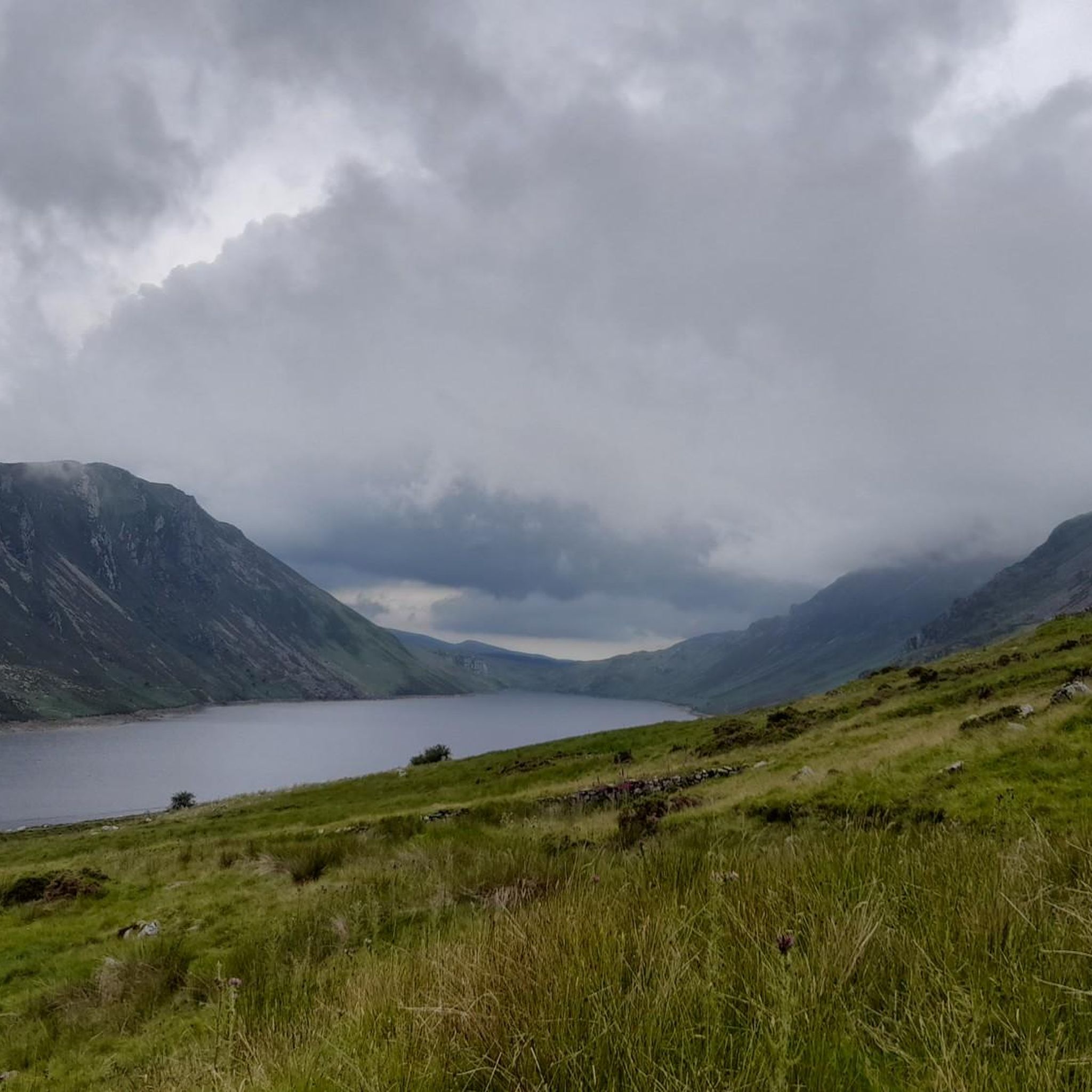
Just a little slice of paradise. Was the only person there, I hadn't actually seen a person all day. So..... a bit of free swimming was required
0
0

a very interesting route ebike needed
0
0

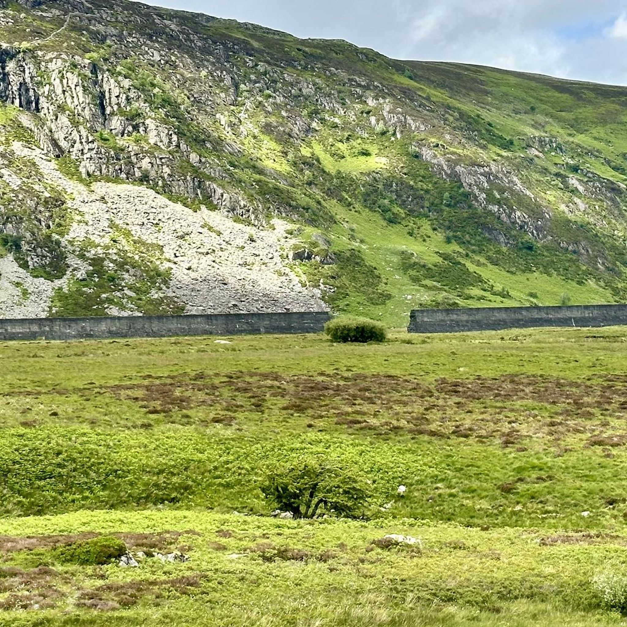
Remains of the Dolgarrog Dam Disaster Dolgarrog, Wales The worst flood disaster in Welsh history might have been a lot worse if it had not happened on movie night. LLYN EIGIAU, A LAKE AT the edge of the Carneddau mountains in Snowdonia, Wales, was the origin of the worst dam disaster in Welsh history. The devastating flood of 1925 is commemorated by a plaque placed on the massive boulders that came to rest after destroying much of the village of Dolgarrog. In 1911, a dam three-quarters of a mile long and 35 feet high was built across part of the eastern side of the lake to supply water for the hydroelectric power station in the village and power the aluminum works next to the station. A new tramway was constructed to bring materials for the dam from Dolgarrog. It is reported that the original contractor withdrew from the project, unhappy that corners were being cut in the construction of the dam. And indeed, his misgivings were realized. In November, 1925, after 26 inches of rain fell in just five days, the Eigiau dam failed. The water flowed down to Coedty Reservoir, which rapidly caused its earth bank dam to burst as well and release billions of gallons of water. The torrent of water, estimated at over 70 billion gallons, flowed down into the village of Dolgarrog, creating massive damage and leading to the loss of 16 lives. The death toll could have been worse, but it was fortunate that the breach occurred on the night when the local community hall was used as a cinema. The hall was on slightly higher ground, and many of the town residents were safe inside. The force of water carried some massive boulders (some as heavy as 200 tonnes) down to into the village, which was destroyed by the flood. Gwilym Wyn Roberts, whose mother survived the flood, told the BBC that “Cows were seen hanging from the trees and the aluminum works were submerged under 5 feet of mud.” These boulders are now marked with a memorial plaque, and the village has been rebuilt away from the devastated area. The remains of the dam are easily accessible on foot from a parking lot about half a mile away from the breached dam wall. A close look at the remains of the Eigiau dam today reveals that the foundations were insufficient, and close observation reveals large lumps of unmixed concrete. The dam material that can be seen through existing holes tends to break away easily and is clearly badly graded. After the disaster, an additional breach was created in the dam to ensure that water could not build up to dangerous levels. A Parliamentary investigation led to more stringent rules on British dam construction, as part of the Reservoirs (Safety Provisions) Act in 1930. Today the lake covers an area of about 120 acres (about half the impounded area when the dam was in use) and is only about 32 foot deep. This memorial commemorates the victims of the dam disaster in Dolgarrog on the dark and stormy night of 2 November 1925.
0
0

Flat gravel road from the car park to the track junction. Nice to bike in from pen y gaer hill fort to the NE.
0
0

komootモバイルアプリでインスピレーションを得よう


さらに探索
他の地域の最高のランニングトレイル & ルートを見てみましょう。
