ヴィートマールシェンのおすすめウォーキング&ハイキングルート
4.4
(4765)
21,248
ハイカー
203
ハイキング
ヴィートマールシェン 周辺でおすすめのハイキングやウォーキングを楽しんでいただけるように、このエリアの小径やルートを集めたkomootコレクション全体を見直しました。 以下で各ルートの詳細をご覧になり、ヴィートマールシェン周辺の大自然を満喫する際の参考にしてください。
最終更新日: 10月 25, 2026
4.7
(136)
326
ハイカー
12.2km
03:07
40m
40m
中程度のハイキング. ある程度のフィットネスレベルが必要です。 歩きやすい道です。

4.8
(34)
115
ハイカー
7.09km
01:48
10m
10m
初級者向けハイキング. 歩きやすい道です。
4.8
(21)
60
ハイカー
5.01km
01:17
20m
20m
初級者向けハイキング. 歩きやすい道です。
4.8
(13)
57
ハイカー
初級者向けハイキング. 歩きやすい道です。
さらに多くのルートや他のユーザーのおすすめ情報を確認できます。
すでにアカウントをお持ちですか?
おすすめのツアーは他のkomootユーザーが実際に経験した何千ものアクティビティに基づいています。
無料アカウントで今日から始めよう
次の冒険が待っています。
ヴィートマールシェン周辺で人気

On Trails through the Moor – Bourtanger Moor-Veenland Nature Park

The most beautiful hikes in the Nature Park Moor-Veenland in northern Germany
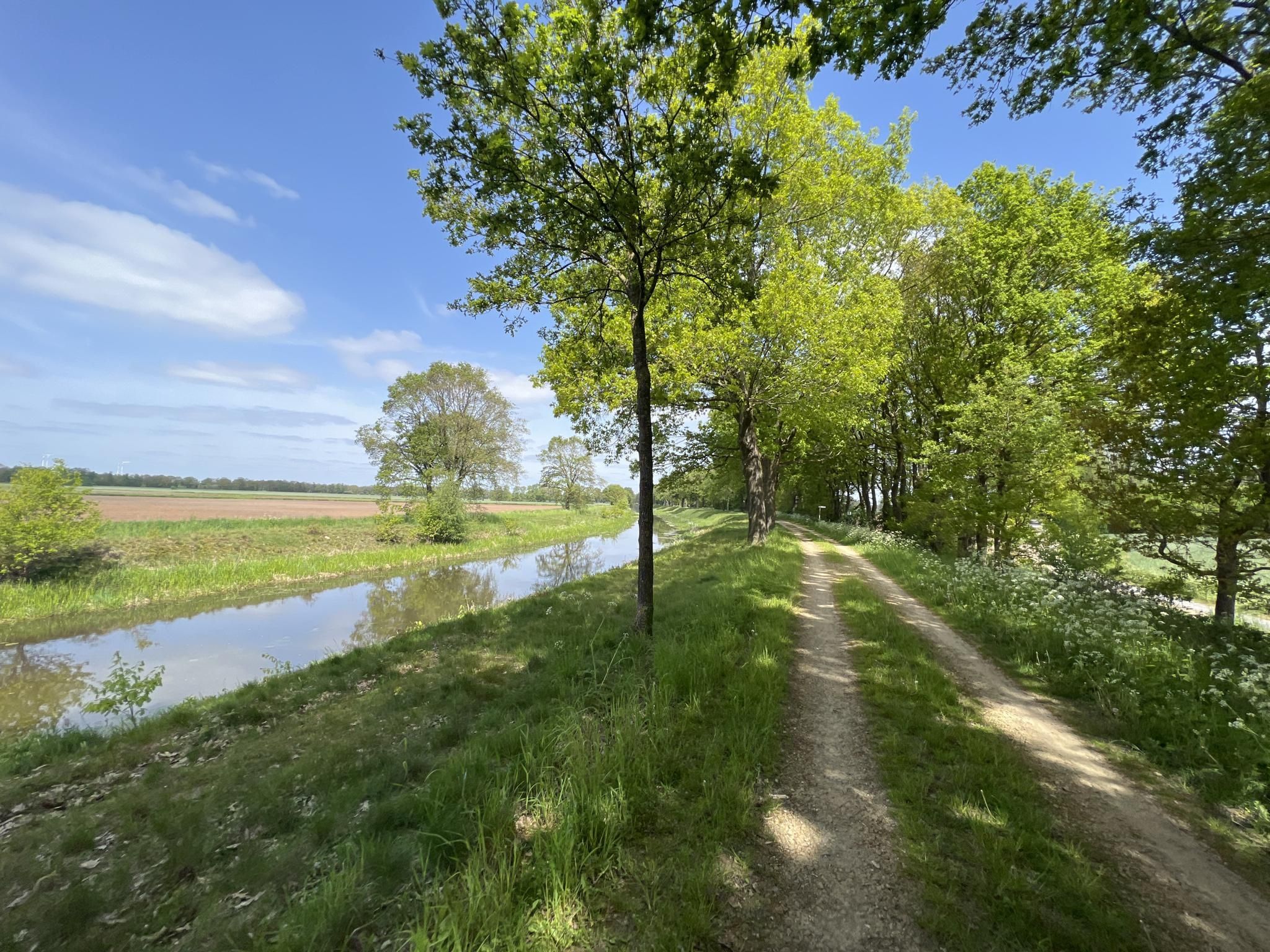
GrenzGravel – on the trails of the Grafschaft and the Netherlands
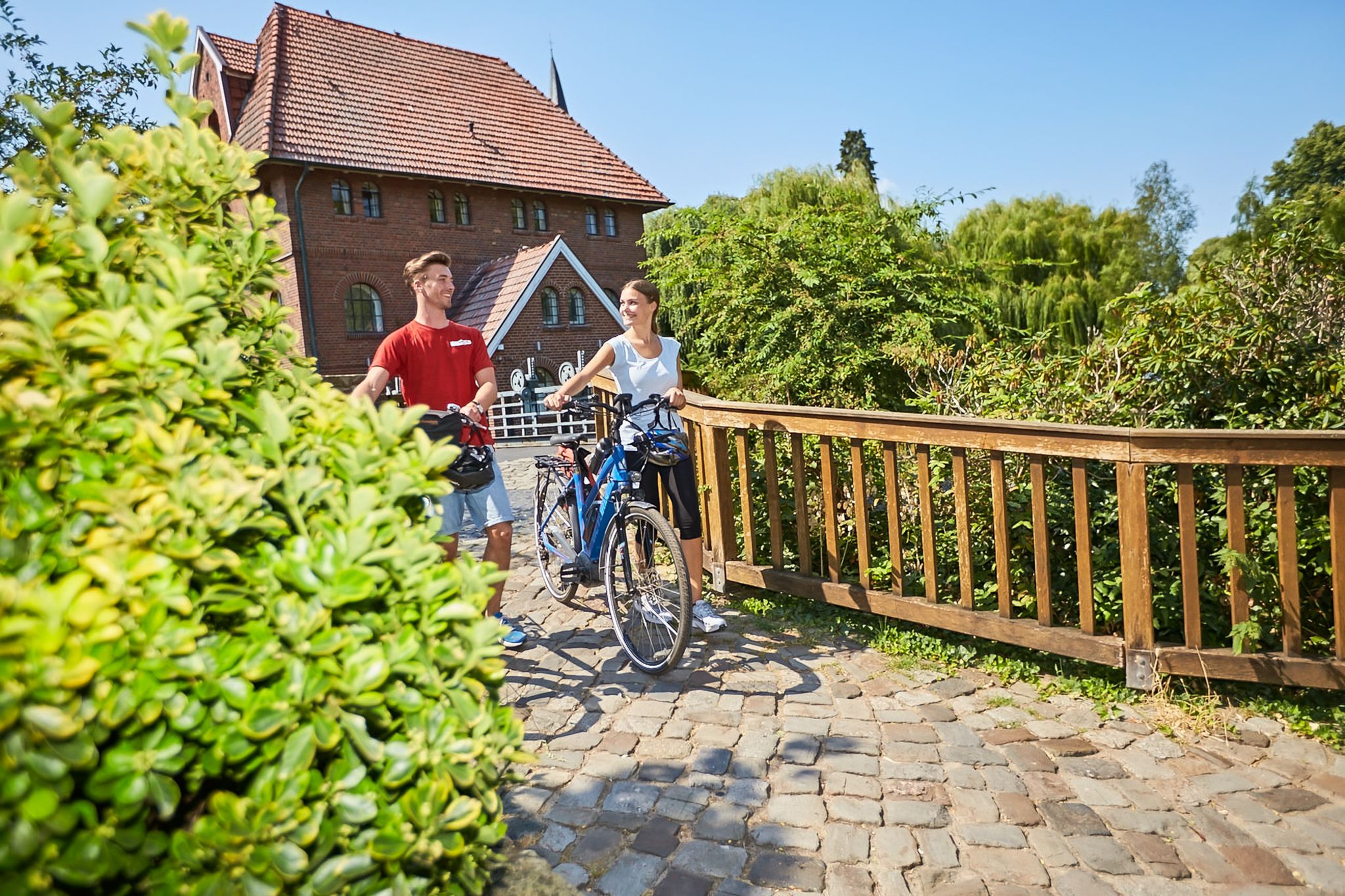
Cycling in the county of Bentheim – pursuit of happiness
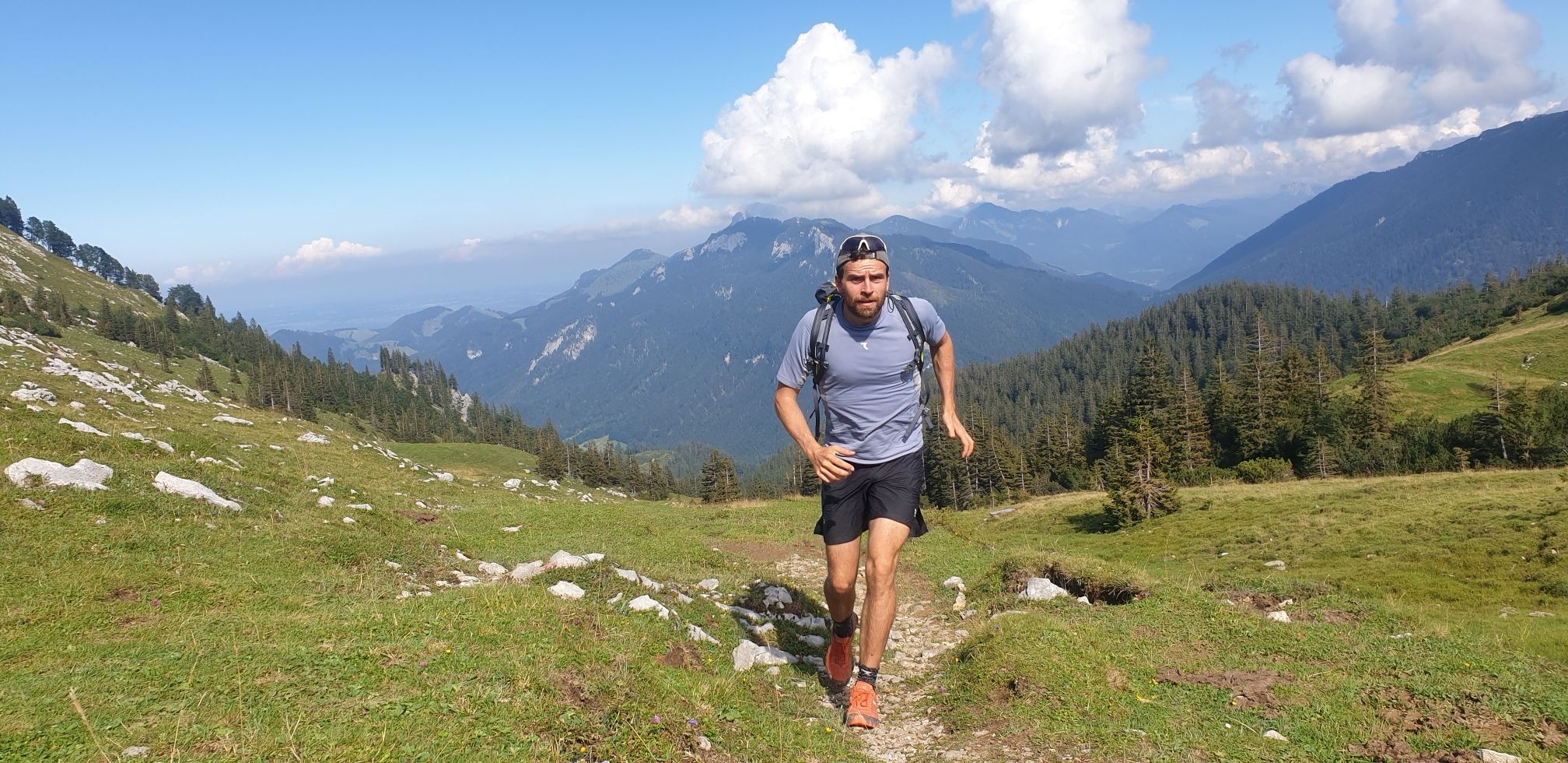
ドイツを周りをトライアスロン
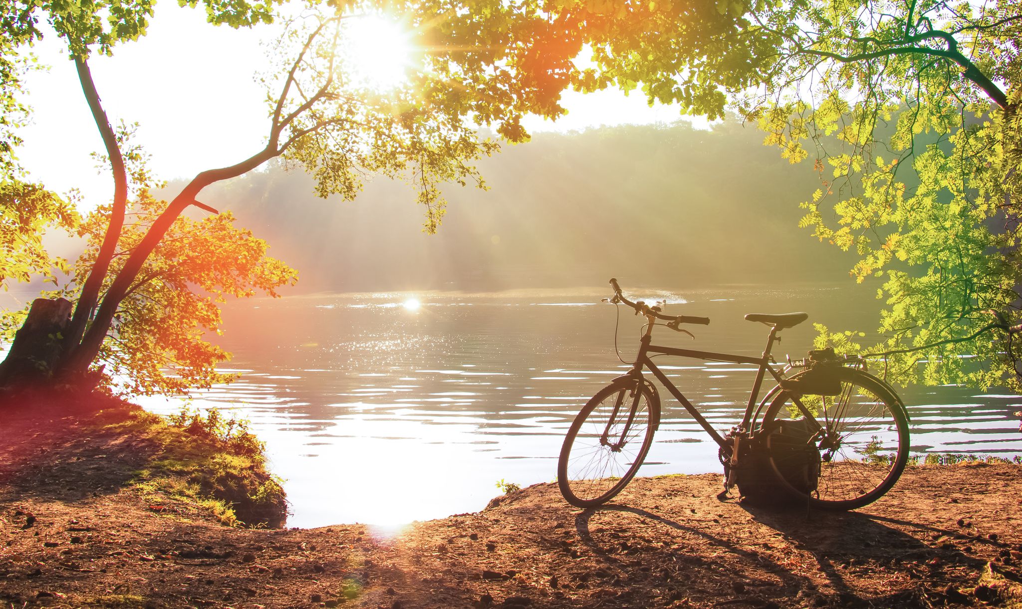
Cycling without borders — Fietsen in the Grafschaft Bentheim

ヴィートマールシェンでのサイクリング

ヴィートマールシェンでののグラベルライド

ヴィートマールシェンのロードバイクルート

ヴィートマールシェンのランニングコース
ヴィートマールシェンでのの他の冒険


コミュニティからのヒント


In the middle of the Lohner Sand dunes lies a wide, open meadow that stands out clearly from the surrounding pine forests. This area was once a military training ground. Today, grasses, herbs, and patches of heather grow here, providing food for numerous insects. During the summer months, the air is filled with the buzzing and chirping of insects. The area is regularly maintained to keep it open and prevent it from becoming overgrown with shrubs.
2
0
The Lohner Sand near Lingen is a former military training area that has now developed into a diverse nature reserve and recreational area. Covering approximately 280 hectares, the landscape features a mix of open sand, heathland, young pine forests, and pollarded oaks. The nutrient-poor soil provides habitat for rare species such as the natterjack toad, tiger beetle, and European nightjar. A nature trail with several stations provides information about the formation of the landscape and its unique flora and fauna.
2
0
ヴィートマールシェンでのの人気観光スポット

komootモバイルアプリでインスピレーションを得よう


さらに探索
他の地域の最高のハイキングを見てみましょう。
