ストランダのおすすめライド
4.8
(25)
741
ライダー
14
ライド
ストランダ周辺のロードバイクルートをお探しですか?ここでは、komootが提供するストランダでのロードバイクライドのコレクション全体を評価して選び抜いた人気ルートをご紹介します。各ライドの詳細をぜひご覧ください。
最終更新日: 10月 13, 2026
5.0
(5)
155
ライダー
46.2km
03:09
1,600m
1,600m
難しいロードライド. 標準以上のフィットネスレベルが必要です。 全般的に舗装状態が良好で走行しやすい道です。
5.0
(9)
179
ライダー
58.2km
03:46
1,720m
1,720m
難しいロードライド. 標準以上のフィットネスレベルが必要です。 全般的に舗装状態が良好で走行しやすい道です。

4.5
(2)
62
ライダー
17.2km
01:10
570m
580m
中程度のロードライド. ある程度のフィットネスレベルが必要です。 全般的に舗装状態が良好で走行しやすい道です。
44
ライダー
30.1km
02:09
1,050m
1,050m
難しいロードライド. 標準以上のフィットネスレベルが必要です。 ツアーの一部に、未舗装のため走行が難しい箇所があるかもしれません。
4.5
(2)
28
ライダー
60.0km
03:51
1,710m
1,710m
難しいロードライド. 標準以上のフィットネスレベルが必要です。 ツアーの一部に、未舗装のため走行が難しい箇所があるかもしれません。
さらに多くのルートや他のユーザーのおすすめ情報を確認できます。
すでにアカウントをお持ちですか?
おすすめのツアーは他のkomootユーザーが実際に経験した何千ものアクティビティに基づいています。
無料アカウントで今日から始めよう
次の冒険が待っています。


コミュニティからのヒント

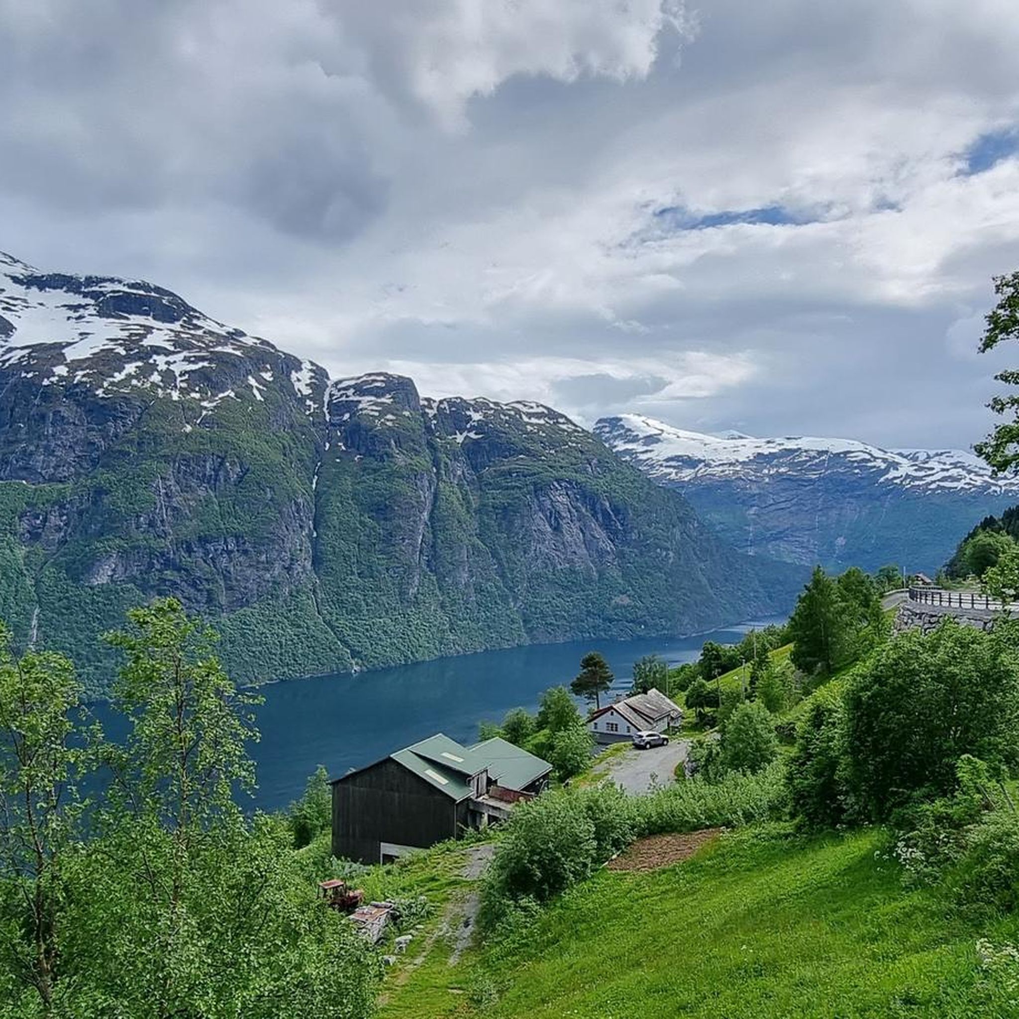
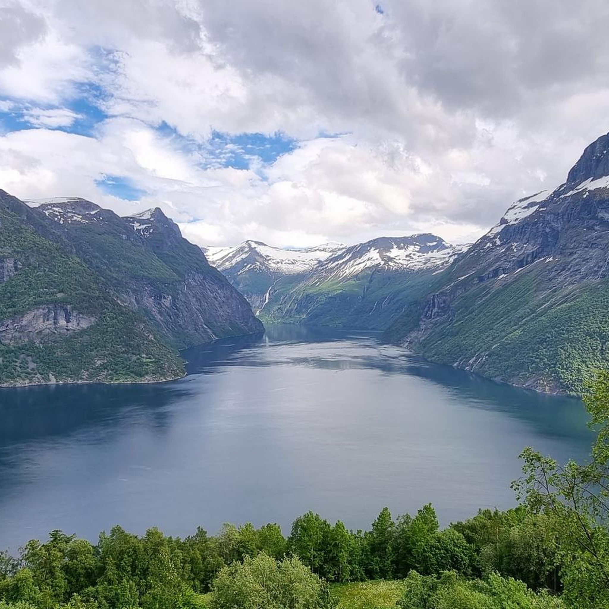
アドラーケレンからは、ガイランゲルフィヨルドの入り口と町への素晴らしい景色が見えます。
2
0


The Fjordsenter is both a tourist information center and a museum, and offers a modern exhibition with lots of interesting information about the Geirangerfjord, its nature and the history of the place.
3
0
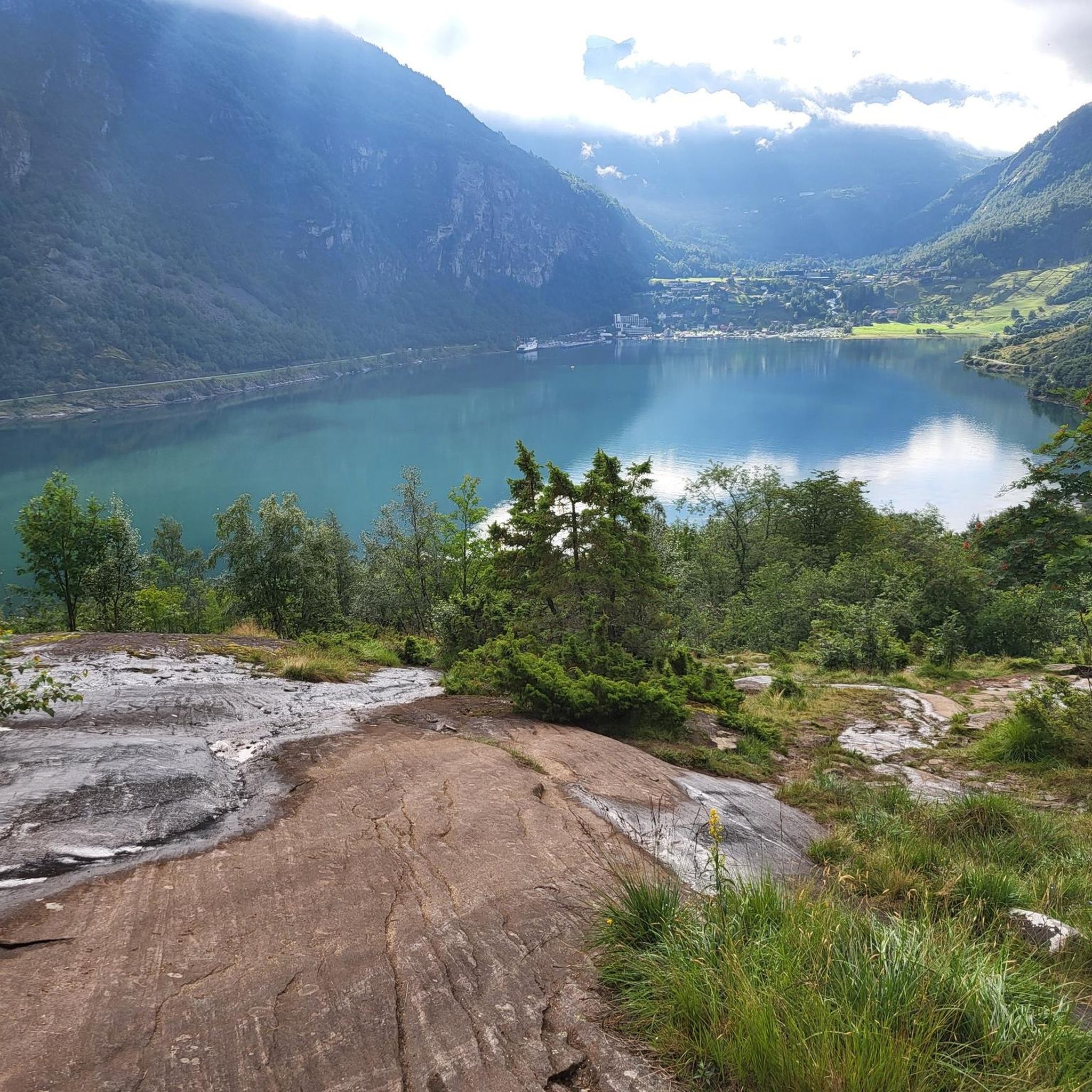
Wonderful view of the breathtaking landscape!
3
0
The view of the Geirangerfjord is simply world-class!
3
0
The Knuten (German: Knoten, meaning knot) is a former road loop that spanned a change in elevation. The bridge was built without mortar from natural stone and still stands today. In modern times, a shorter and wider road was driven through the rock next to it, rendering the Knuten obsolete and leaving it as a historical relic. It's worth making a short stop here to admire this ancient engineering, especially since this "lost place" in the middle of nature has a special charm.
3
0

A good Geiranger insider tip is to cycle from Dalsnibba down to the fjord to enjoy the spectacular views along the way, rather than just looking from the skywalk. Discover famous waterfalls like "The Seven Sisters" and the Bridal Veil on a fjord boat cruise before cruise ships dock to experience the view without the large crowds. Explore the Flydalsjuvet viewpoint with its chair installation, or hike to the Homlongsætra mountain pasture for a different, lesser-known view of the fjord.
1
0

komootモバイルアプリでインスピレーションを得よう


さらに探索
他の地域の最高のロードサイクリングルートを見てみましょう。
