ストランダのおすすめランニングルート
4.7
(7)
309
ランナー
13
ランニング
ストランダでランニングを楽しめば、このエリアをより深く知ることができます。ランニングに適した美しいルートが見つかるように、komootがストランダでのルートのコレクション全体を評価して選び抜いた、人気ランニングトレイルをご紹介します。ルートをクリックして詳細を表示し、他のユーザーがアップロードした役立つ情報や写真を閲覧しましょう。
最終更新日: 10月 13, 2026
5.0
(1)
62
ランナー
6.74km
01:06
450m
460m
難しいジョギング. 標準以上のフィットネスレベルが必要です。 全般的に進みやすいルートです。一部で、安定して歩行できる技術が必要です。
4.0
(2)
51
ランナー
10.7km
01:51
550m
550m
難しいジョギング. 標準以上のフィットネスレベルが必要です。 安定して歩行できる技術、丈夫な靴、高標高地での登山経験が必要です。

5.0
(1)
21
ランナー
7.32km
00:57
350m
350m
難しいジョギング. 標準以上のフィットネスレベルが必要です。 全般的に舗装された状態です。あらゆるスキルレベルに適しています。
29
ランナー
8.87km
02:11
860m
860m
難しいジョギング. 標準以上のフィットネスレベルが必要です。 安定して歩行できる技術、丈夫な靴、高標高地での登山経験が必要です。
19
ランナー
14.8km
01:46
480m
480m
難しいジョギング. 標準以上のフィットネスレベルが必要です。 全般的に舗装された状態です。あらゆるスキルレベルに適しています。
さらに多くのルートや他のユーザーのおすすめ情報を確認できます。
すでにアカウントをお持ちですか?
おすすめのツアーは他のkomootユーザーが実際に経験した何千ものアクティビティに基づいています。
無料アカウントで今日から始めよう
次の冒険が待っています。


コミュニティからのヒント


The waterfall and rapids in the heart of Geiranger are truly impressive and well worth a visit. A meticulously constructed path with a non-slip metal grating allows you to get very close to the roaring water. The highlight is the walkway that extends directly over the large waterfall. Note: Due to the many steps, the path is definitely not wheelchair accessible. Furthermore, the grating poses a risk of injury to dogs' paws; it's best to keep your four-legged friend away from this path.
3
0
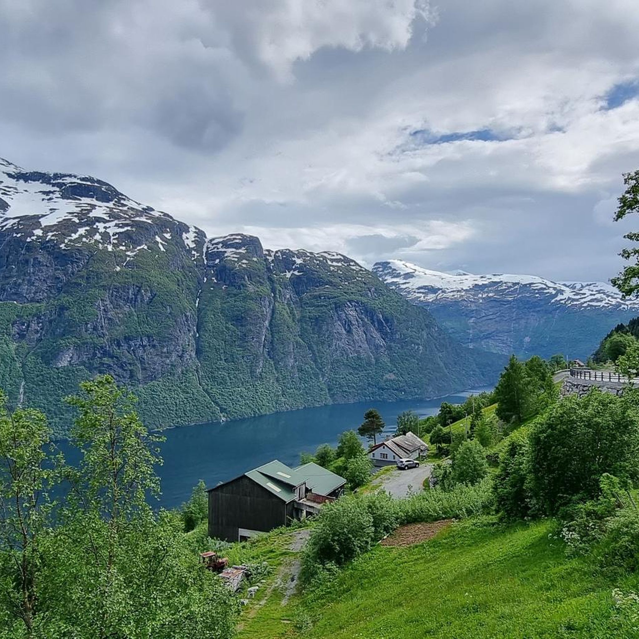
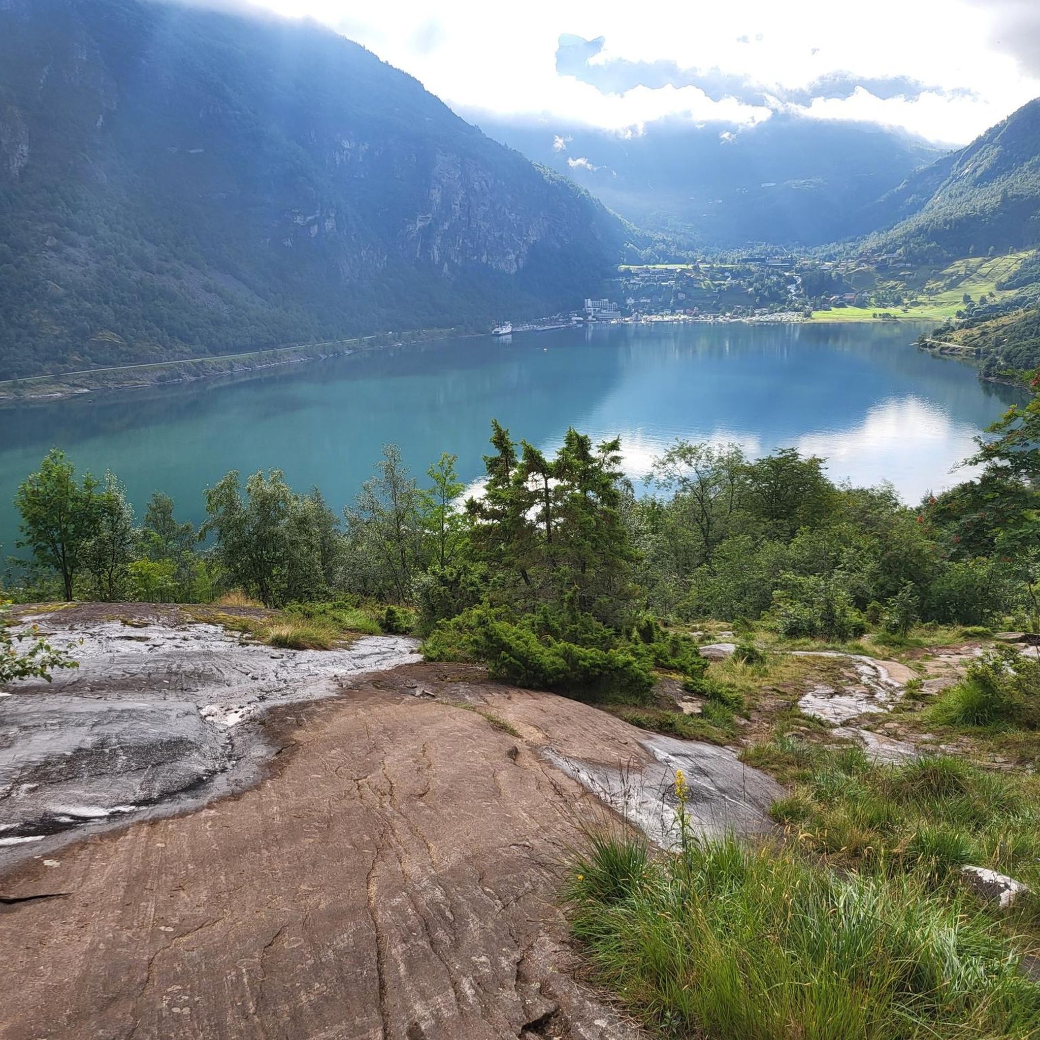
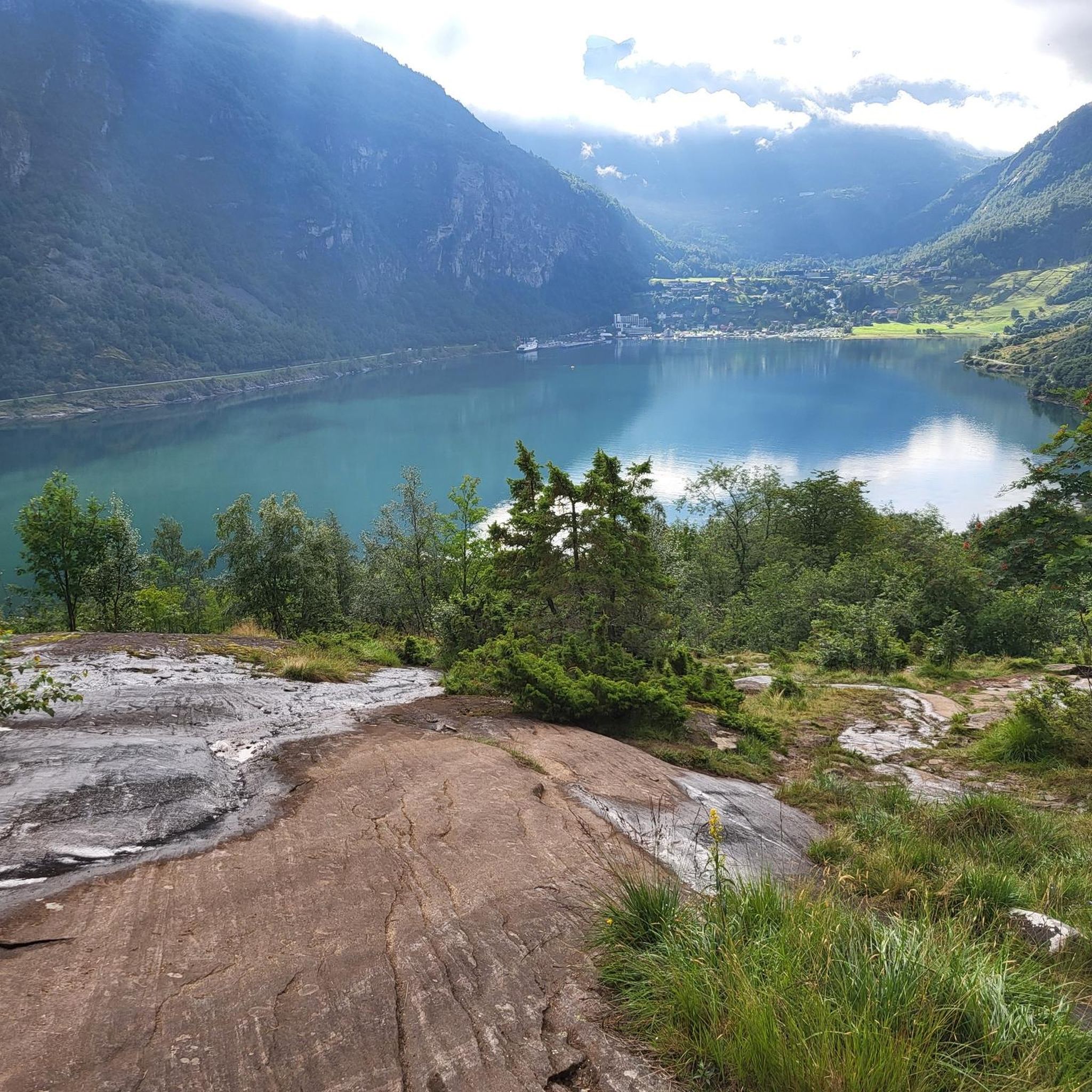
This breathtaking view is something you simply have to experience! The Geirangerfjord is indescribably beautiful, and its wild nature is truly impressive. Most importantly: Don't just take photos and selfies, but take your time and really savor the experience and cherish it as a lasting memory ;)
3
0
Storsæterfossen is an impressive waterfall that shouldn't be missed when exploring the Geirangerfjord! Even the narrow hiking trail leading there offers stunning views of the landscape, though the varied terrain can be quite challenging. Once you reach the top, you'll be rewarded with a thundering waterfall and a rushing mountain stream. A particularly special feature is the opportunity to walk behind the waterfall, allowing you to get really close and experience it with all your senses. But be careful: the narrow path with steps is very slippery in places! Handrails and ropes help you reach the waterfall safely.
4
0

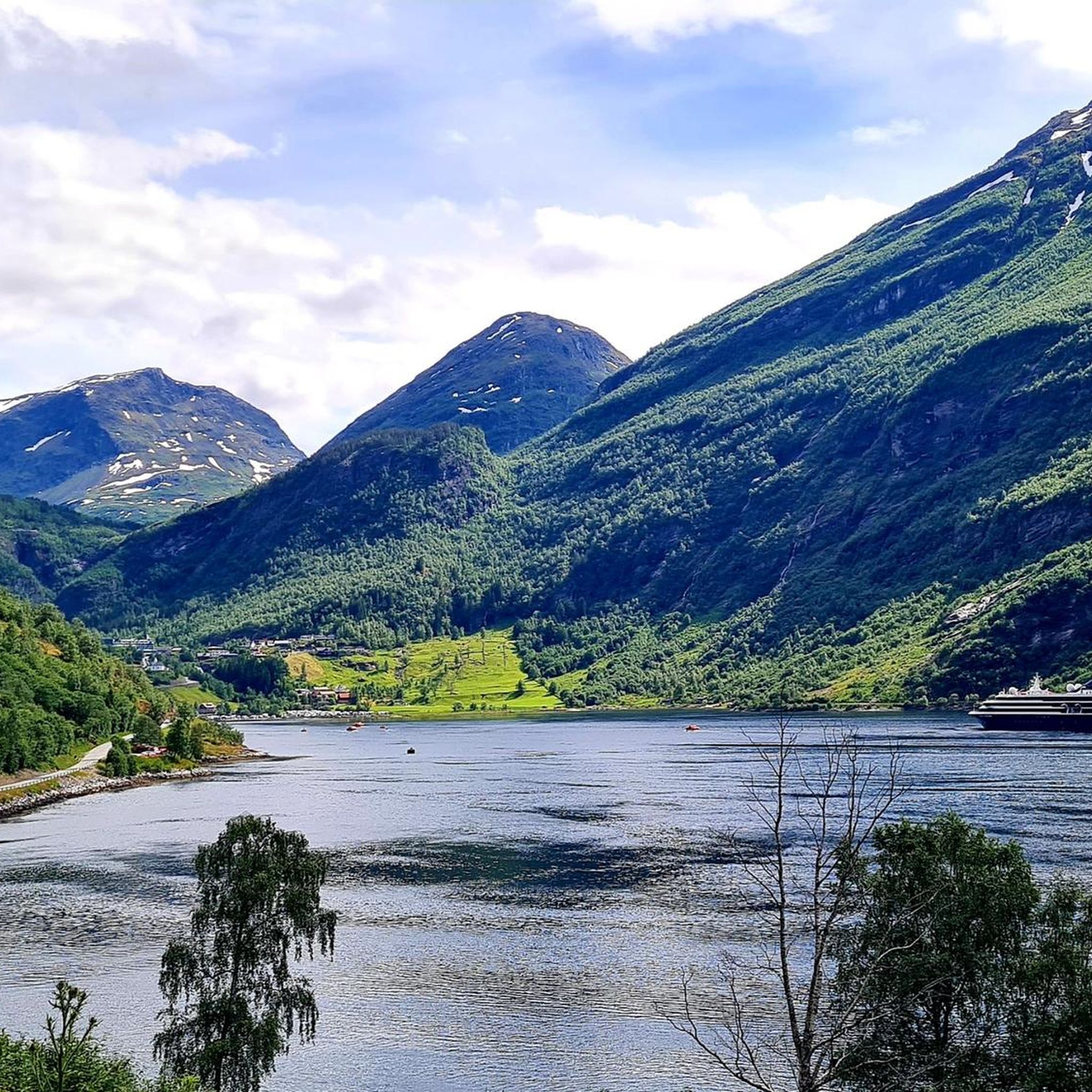
Facts about the Geirangerfjord The fjord is 15 km long, 1.5 km wide at its widest point, and 700 m deep at its deepest point. The area, which has been declared a UNESCO World Heritage Site, covers 498 km² and includes the fjord and the surrounding areas in the Stranda and Norddal counties.
1
0
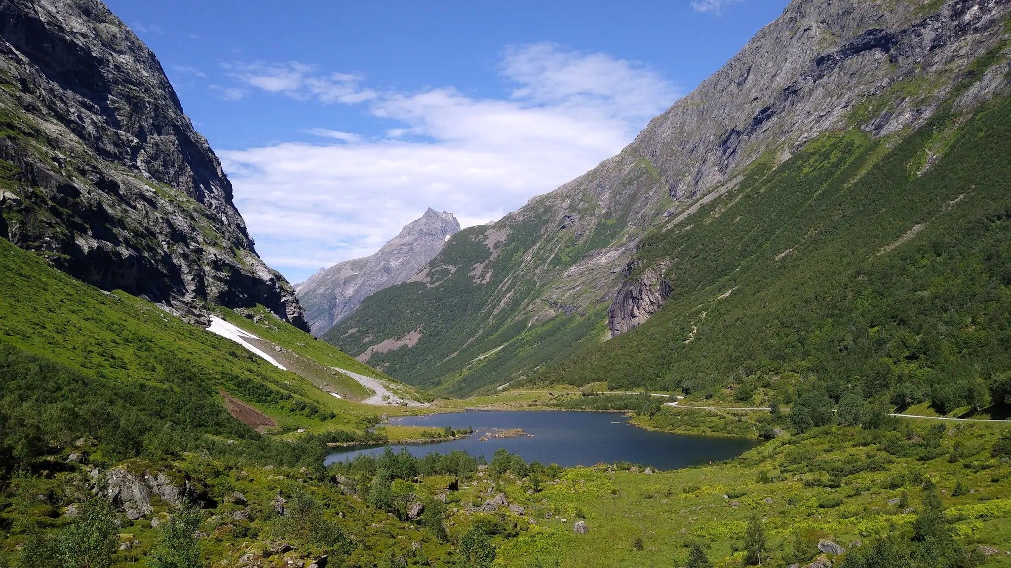
Numerous waterfalls and free-flowing rivers, deciduous and coniferous woodlands and forests, glacial lakes, glaciers, rugged mountains and a range of other natural attributes combine towards making Geirangerfjord and Nærøyfjord among the most scenically outstanding landscapes in the world.
1
0


From the harbor, you can easily walk to the Geiranger Sorfossen Waterfall in just a few minutes. At this magnificent and impressive waterfall, you can then climb up the steps or paths right next to the force of nature. You'll also get a little wet from the spray.
2
0

komootモバイルアプリでインスピレーションを得よう


さらに探索
他の地域の最高のランニングトレイル & ルートを見てみましょう。
