カペッレオプデンボスのおすすめランニングルート
3.8
(19)
1,447
ランナー
53
ランニング
カペッレオプデンボスでランニングを楽しめば、このエリアをより深く知ることができます。ランニングに適した美しいルートが見つかるように、komootがカペッレオプデンボスでのルートのコレクション全体を評価して選び抜いた、人気ランニングトレイルをご紹介します。ルートをクリックして詳細を表示し、他のユーザーがアップロードした役立つ情報や写真を閲覧しましょう。
最終更新日: 8月 27, 2026
5.0
(2)
450
ランナー
46.8km
04:56
80m
80m
難しいジョギング. 標準以上のフィットネスレベルが必要です。 全般的に舗装された状態です。あらゆるスキルレベルに適しています。
95
ランナー
9.70km
01:00
20m
20m
中程度のジョギング. ある程度のフィットネスレベルが必要です。 全般的に舗装された状態です。あらゆるスキルレベルに適しています。

無料新規登録
86
ランナー
7.86km
00:49
10m
10m
中程度のジョギング. ある程度のフィットネスレベルが必要です。 全般的に舗装された状態です。あらゆるスキルレベルに適しています。
4.0
(1)
74
ランナー
9.67km
01:00
10m
10m
中程度のジョギング. ある程度のフィットネスレベルが必要です。 全般的に舗装された状態です。あらゆるスキルレベルに適しています。
38
ランナー
9.90km
01:02
10m
10m
中程度のジョギング. ある程度のフィットネスレベルが必要です。 全般的に舗装された状態です。あらゆるスキルレベルに適しています。
さらに多くのルートや他のユーザーのおすすめ情報を確認できます。
無料新規登録
すでにアカウントをお持ちですか?
おすすめのツアーは他のkomootユーザーが実際に経験した何千ものアクティビティに基づいています。
無料アカウントで今日から始めよう
次の冒険が待っています。
ログインまたは登録

コミュニティからのヒント

ブッゲンホウトボス – 猛暑日に最適な日陰の散歩道。 夏の暑さが記録を更新しているように見えるとき、暑さから逃れることができる場所が一つあります。それがブッゲンホウトボスです。気温が急上昇する中、ここではほとんどのルートで密集した葉の覆いの下を歩くことができ、心地よい涼しさを提供します。 何世紀も前のブナや堂々とした冬アカガシが緑の大聖堂を形成しています。その印象的な幹は柱のようにそびえ立ち、葉は太陽の光を心地よく涼しい日陰にろ過します。 190ヘクタールの広さを持つブッゲンホウトボスは、さらに、何世紀も前の森林地帯と約50種類の樹木や低木がある樹木園との見事な変化に富んだ景観で驚かせてくれます。 実用的情報:Gemeentelijke Parking Buggenhout Bos (Kasteelstraat, Buggenhout) から出発してください。そこから、ハイキングノードネットワークにすぐに接続できます。 ルート:66 – 65 – 64 – 63 – 62 – 61 – 60 – 56 – 57 – 58 – 30 – 59 – 66。 ハイキングシューズを履いて、夏の暑さを後にし、フランダースで最も美しい日陰の散歩道の一つをお楽しみください。
1
0

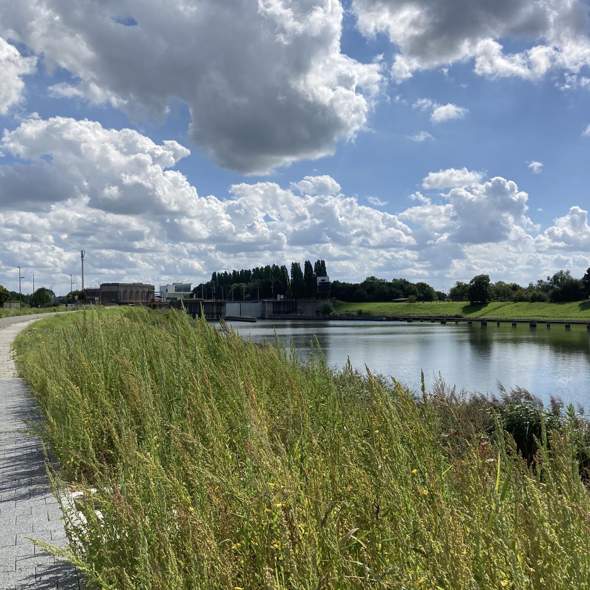
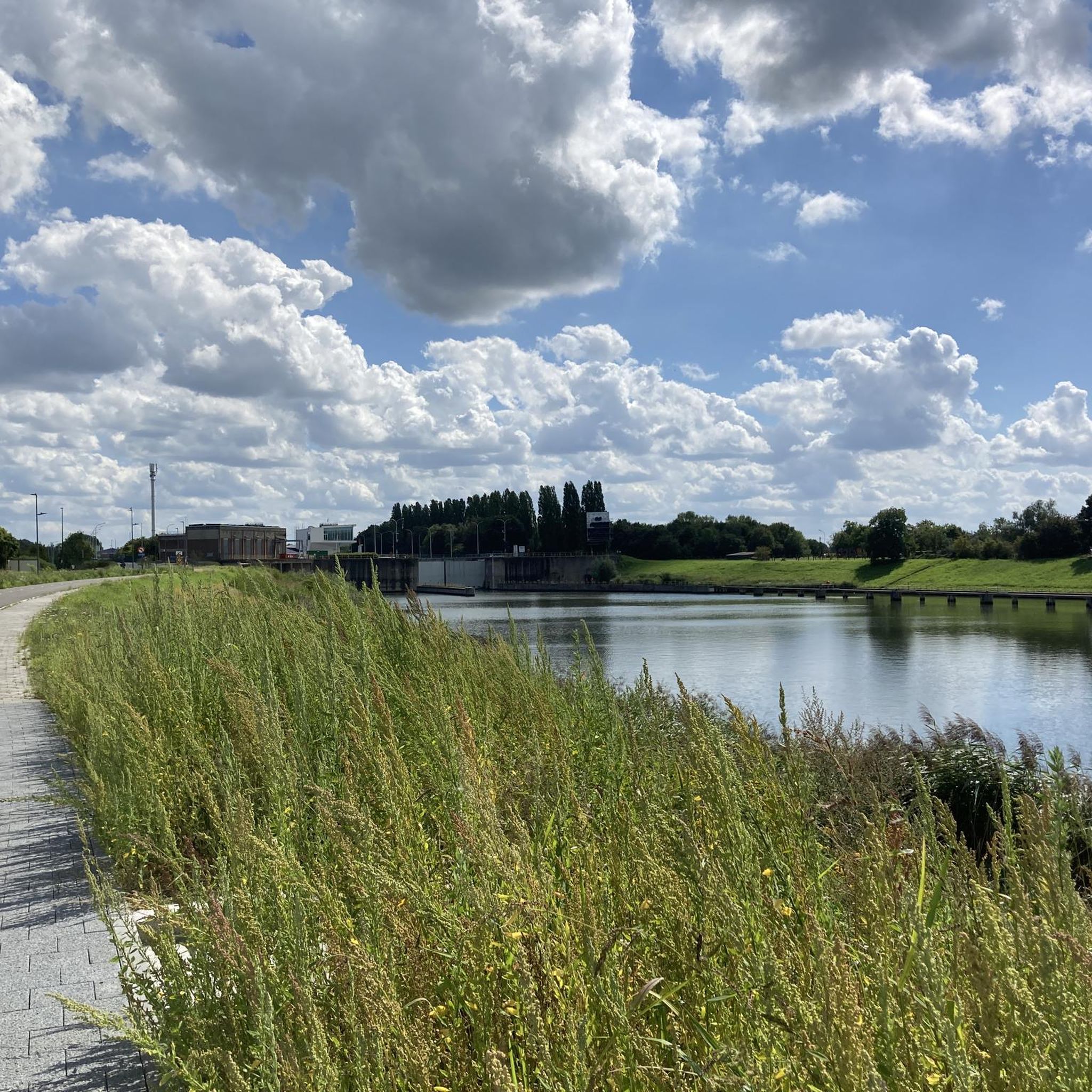
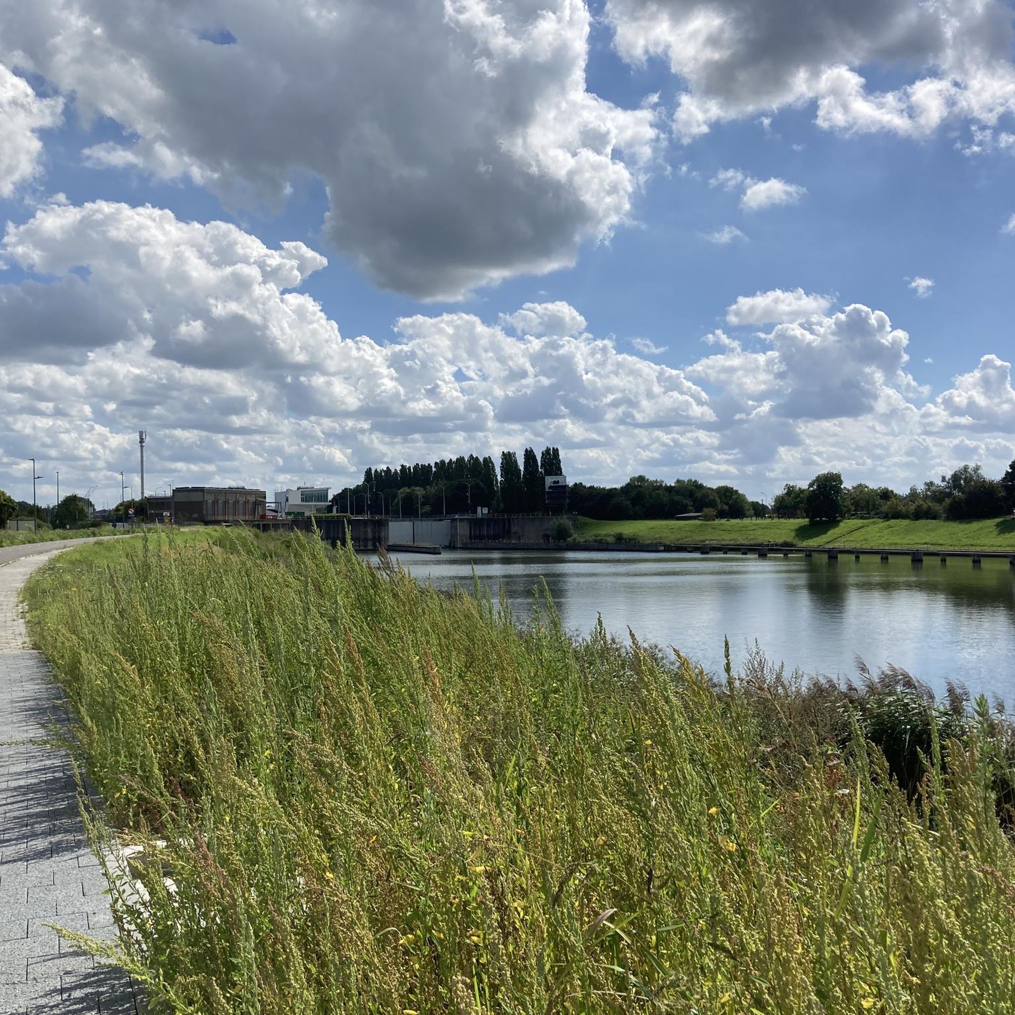
The Humbeek-Sas lift bridge is a classic metal lift bridge that spans the Brussels–Scheldt Sea Canal in Humbeek, a sub-municipality of Grimbergen. Built in 1968, it is one of three identical lift bridges on the canal, along with: Brielen Bridge (Tisselt) Verbrande Bridge (Grimbergen) All three share the same dimensions: 38.4 m long and 11.6 m wide.
6
0
As a cyclist, you can still ride several beautiful kilometers through the forest. It's not like you're through it right away.
5
0
It is good to know where the center is in Flanders. Well, this is not the political center of Flanders, but the geographical center.
5
1

superb paths in a very peaceful forest and the paths are of very good quality
2
0

The geographical centre of Flanders was determined by students of the Faculty of Applied Sciences of the University of Leuven. Using GPS measurements and with the help of mathematics teacher Prof. Theo Van der Waeteren, the centre was determined in 1999: it is located in the far corner of East Flanders, a few dozen metres from the previously determined "three-province point" (East Flanders, Antwerp and Flemish Brabant). Just a few metres from the territory of Sint-Amands, it is just in Opdorp, a sub-municipality of Buggenhout. The coordinates are: 51° 2′ 16″ N, 4° 14′ 26″ E. A monument was placed at this point in 2003.
2
0

Resting place, hiding place, depending on what you need at that moment.
1
0
Always lovely in this forest. Every season has something beautiful to offer.
1
0
カペッレオプデンボスでのの人気観光スポット

komootモバイルアプリでインスピレーションを得よう


さらに探索
他の地域の最高のランニングトレイル & ルートを見てみましょう。
