マルデゲムのおすすめウォーキング&ハイキングルート
4.4
(1303)
5,387
ハイカー
159
ハイキング
マルデゲム周辺でのハイキングは、景色を満喫するのに最適な手段のひとつですが、適切なハイキングルートを見つけることは簡単ではありません。 マルデゲム周辺の人気ハイキング&ウォーキングコースを参考にすれば、行きたいルートをすぐに見つけられます。
最終更新日: 10月 4, 2026
4.6
(169)
931
ハイカー
22.6km
05:45
60m
60m
難しいハイキング. 標準以上のフィットネスレベルが必要です。 進みやすいルートです。あらゆるスキルレベルに適しています。
4.6
(224)
624
ハイカー
15.3km
03:54
40m
40m
中程度のハイキング. ある程度のフィットネスレベルが必要です。 進みやすいルートです。あらゆるスキルレベルに適しています。

4.6
(164)
449
ハイカー
14.2km
03:37
40m
40m
中程度のハイキング. ある程度のフィットネスレベルが必要です。 進みやすいルートです。あらゆるスキルレベルに適しています。
4.6
(106)
313
ハイカー
8.58km
02:12
30m
30m
中程度のハイキング. ある程度のフィットネスレベルが必要です。 進みやすいルートです。あらゆるスキルレベルに適しています。
4.5
(42)
248
ハイカー
8.00km
02:02
20m
20m
中程度のハイキング. ある程度のフィットネスレベルが必要です。 進みやすいルートです。あらゆるスキルレベルに適しています。
さらに多くのルートや他のユーザーのおすすめ情報を確認できます。
すでにアカウントをお持ちですか?
おすすめのツアーは他のkomootユーザーが実際に経験した何千ものアクティビティに基づいています。
無料アカウントで今日から始めよう
次の冒険が待っています。
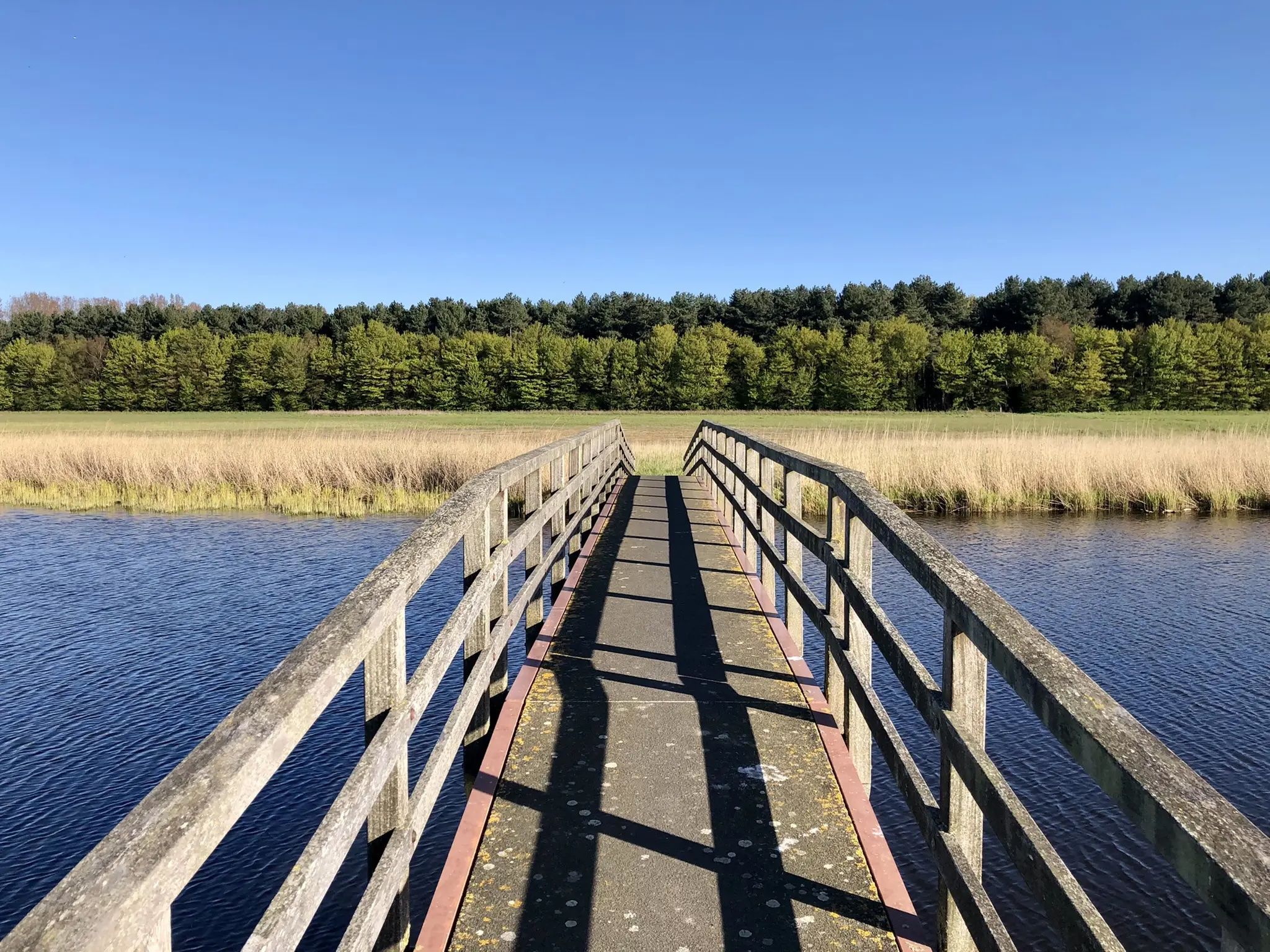
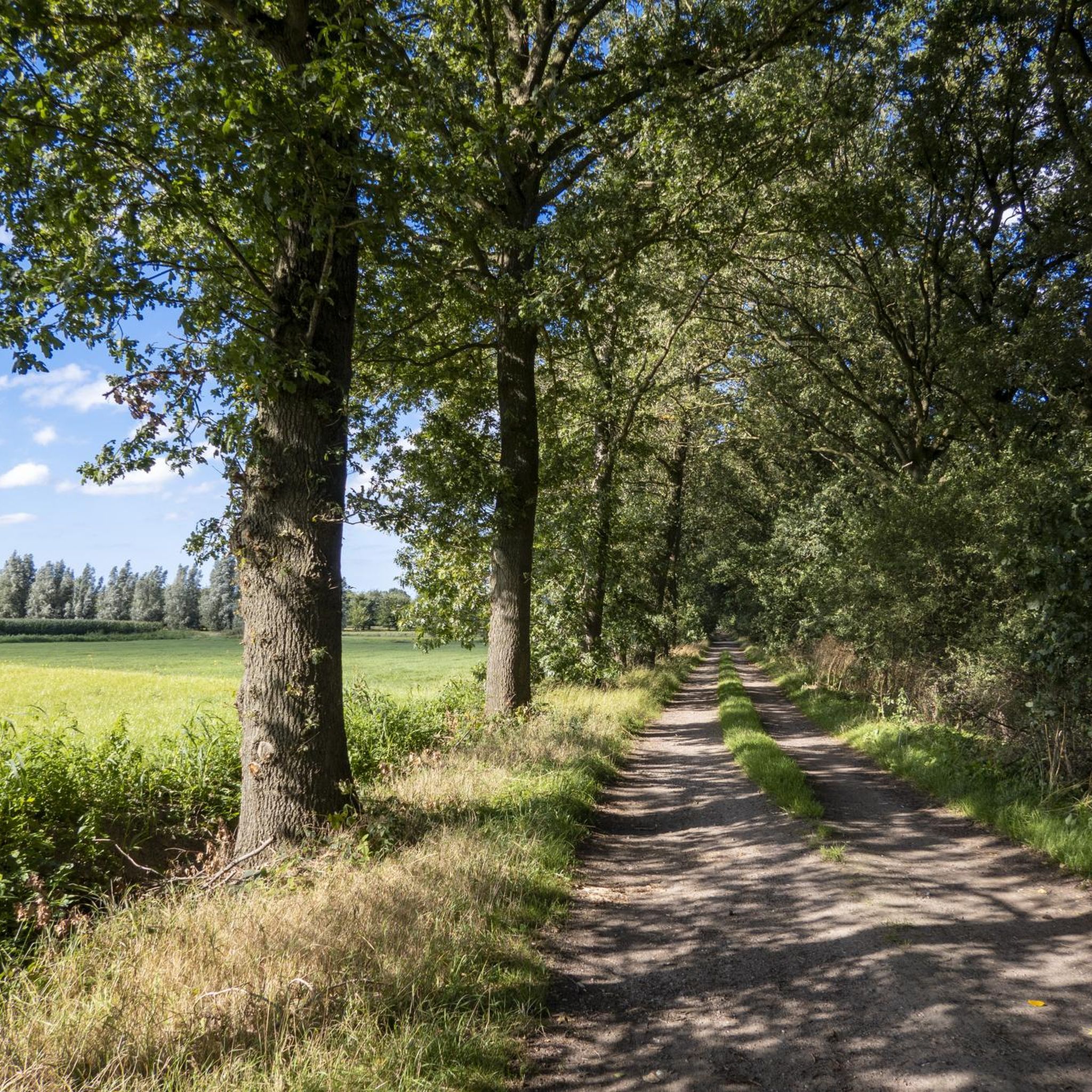
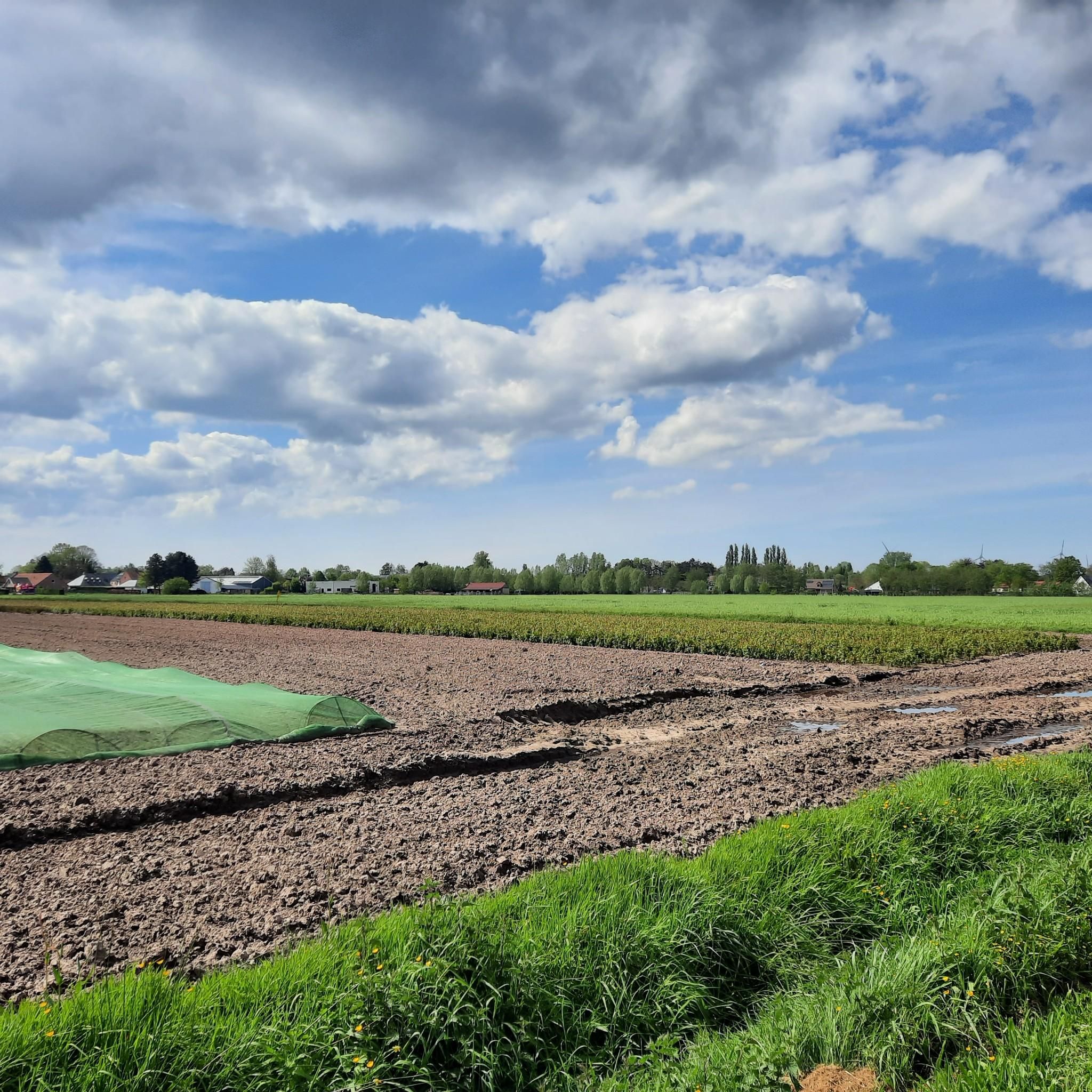

コミュニティからのヒント


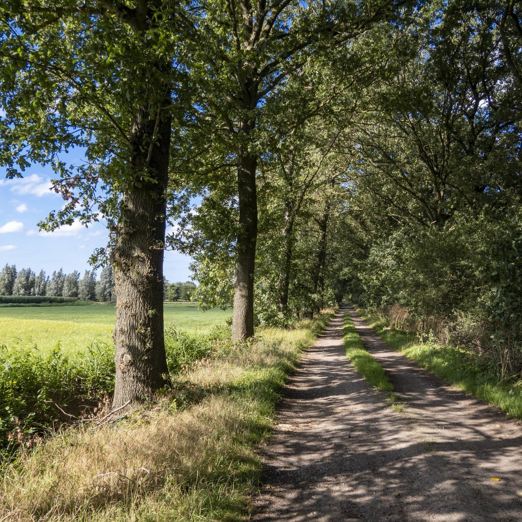
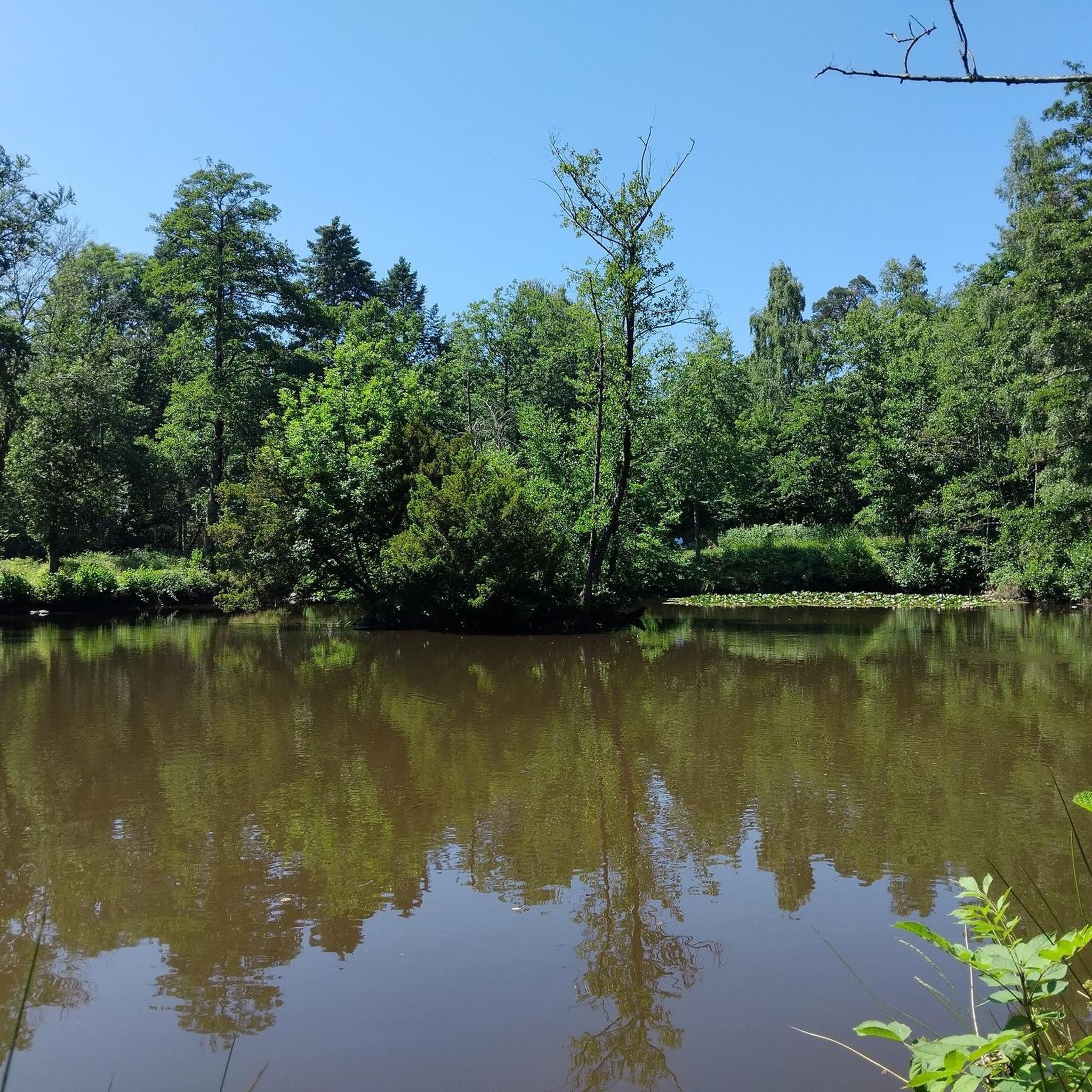
夏、冬、秋、春、どの季節もここでは何か美しいものを提供してくれます
0
0

Drongengoedbosに無料駐車場があります。サイクリングツアーやハイキングを始めるのに最適な出発点です。 豆知識:'Krakelen' は、言い争う、口論するという意味の同義語です。
8
0

Quiet picnic spot with beautiful views on the edge of Drongengoedbos.
1
0

Please note: often full in good weather
2
1
The Ursel airfield is categorized as a military domain and serves, among other things, as a reserve airfield for the Belgian air component. It was built between 1952 and 1955 at the request of SHAPE (Supreme Headquarters Allied Powers Europe, the central command center of NATO). The reserve airfields of Bertrix-Jehonville, Saint-Hubert, Weelde, Zoersel-Oostmalle and Zutendaal were also set up around the same time as a result of this NATO regulation. Part of the crushed concrete from the B-67 Ursel war airfield, located south of the Urselseweg, was used to build the runway. As a result of the fall of the Iron Curtain and the reduced threat of the Warsaw Pact, Ursel airbase was decommissioned by NATO in 1993. Source: https://www.vliegclubursel.be/nld/vliegveld
1
0
マルデゲムでのの人気観光スポット

komootモバイルアプリでインスピレーションを得よう


