デュルビュイのおすすめ登山&山歩きルート
4.9
(11)
25
ハイカー
9
ハイキング
マルシュ=アン=ファメンヌの山々をもっと探索しませんか?このガイドでご紹介するのは、komootがデュルビュイでの登山&山歩きのコレクション全体を評価して選び抜いた、このエリアの人気ルートです。あなたに合ったルートを見つけるには、他のユーザーがアップロードした役立つ情報や写真を閲覧し、クリック操作で簡単に表示できる詳細なデータを参考にしましょう。デュルビュイでの次の冒険にぴったりの登山&山歩きルートが見つかるはずです。
最終更新日: 11月 13, 2026
5.0
(4)
9
ハイカー
15.7km
04:32
380m
380m
中程度の登山ルート. ある程度のフィットネスレベルが必要です。 ほとんどが歩ける道です。足元への注意が必要です。
4.0
(2)
3
ハイカー
14.4km
04:07
330m
330m
中程度の登山ルート. ある程度のフィットネスレベルが必要です。 歩きやすい道です。

5.0
(1)
2
ハイカー
14.6km
04:14
370m
370m
中程度の登山ルート. ある程度のフィットネスレベルが必要です。 歩きやすい道です。
5.0
(1)
2
ハイカー
16.9km
04:46
360m
360m
中程度の登山ルート. ある程度のフィットネスレベルが必要です。 歩きやすい道です。
5.0
(1)
3
ハイカー
10.0km
02:50
210m
210m
中程度の登山ルート. ある程度のフィットネスレベルが必要です。 ほとんどが歩ける道です。足元への注意が必要です。
さらに多くのルートや他のユーザーのおすすめ情報を確認できます。
すでにアカウントをお持ちですか?
おすすめのツアーは他のkomootユーザーが実際に経験した何千ものアクティビティに基づいています。
無料アカウントで今日から始めよう
次の冒険が待っています。
デュルビュイ周辺で人気
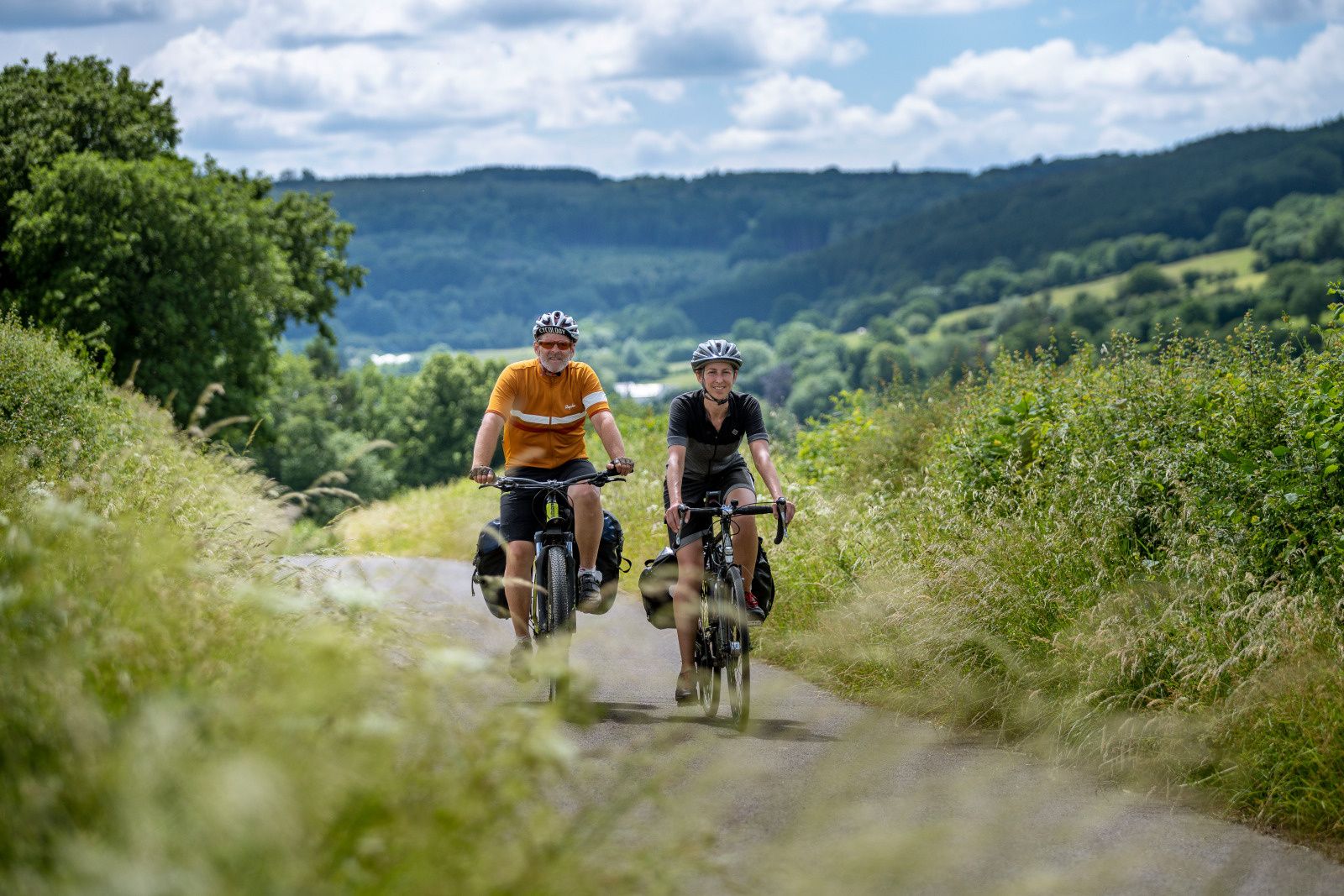
The most beautiful bike rides in Wallonia – pure nature and culture
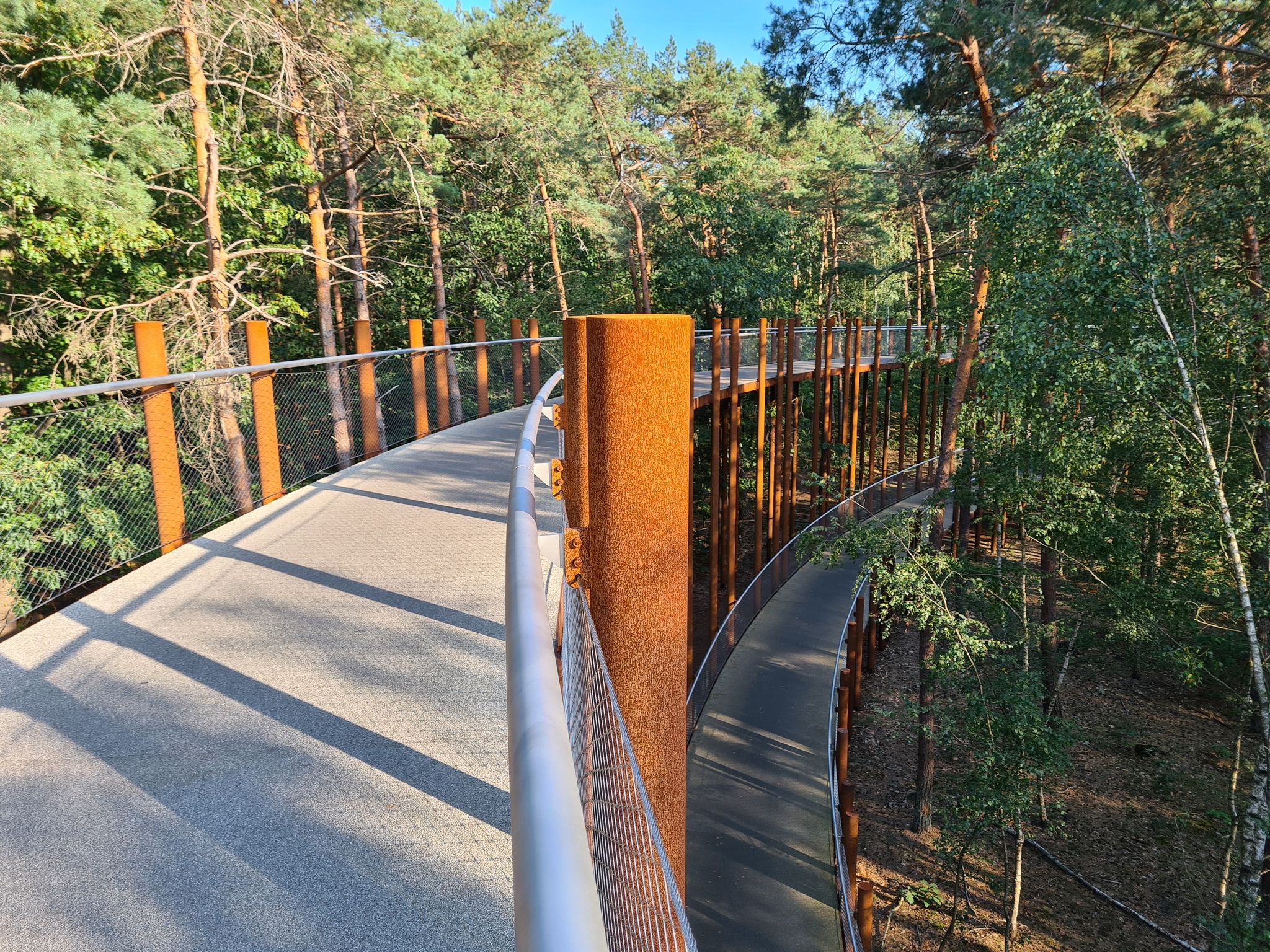
ベルギーで最も美しいサイクリングコースを楽しむ — 10個のベロールート
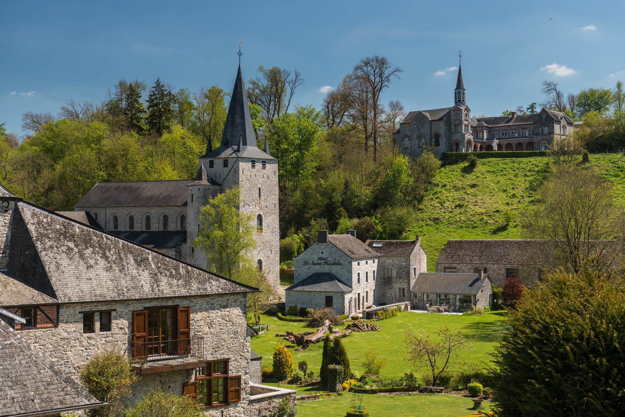
Walks in the Belgian Ardennes — historic walls & magical forests
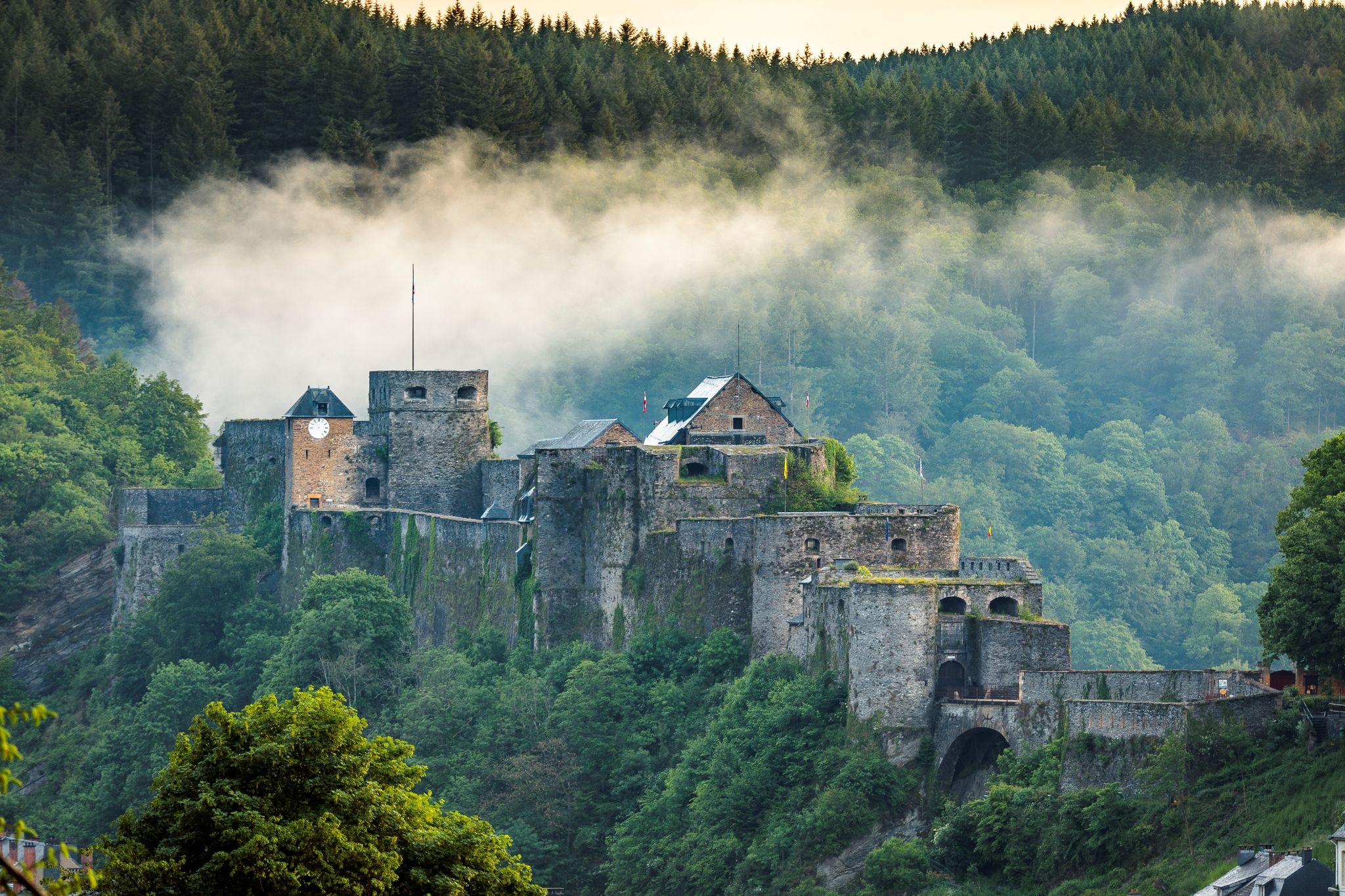
Hiking along majestic castles and nature – Belgian Ardennes
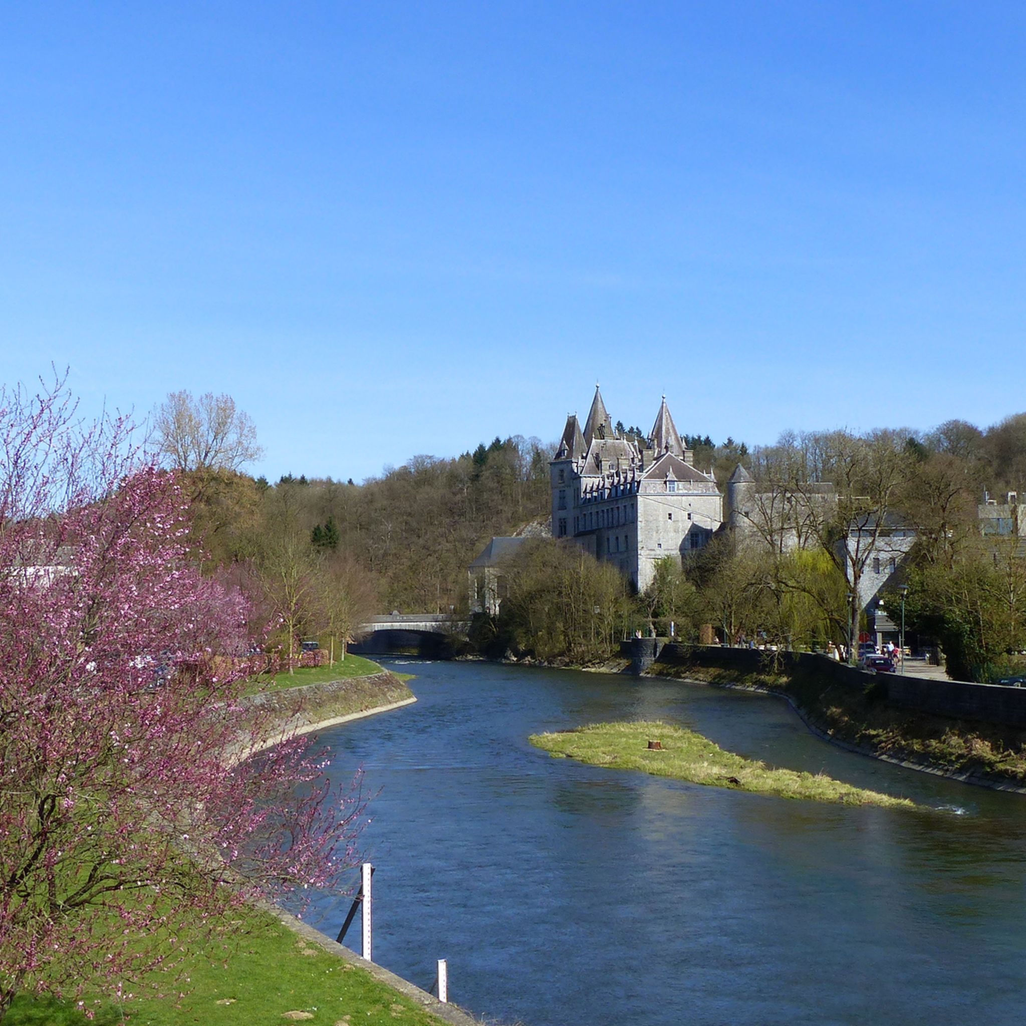
デュルビュイでのハイキング
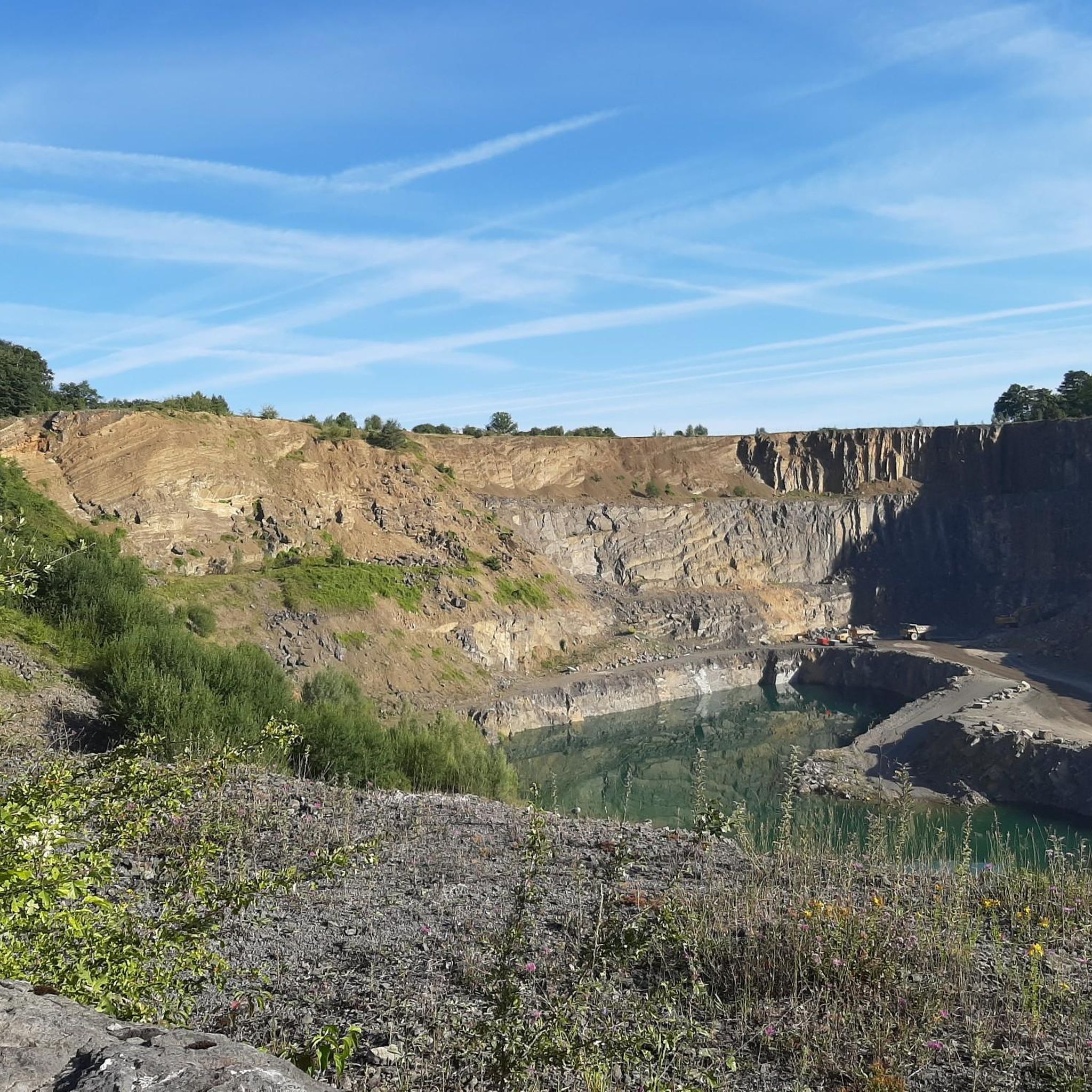
デュルビュイのロードバイクルート
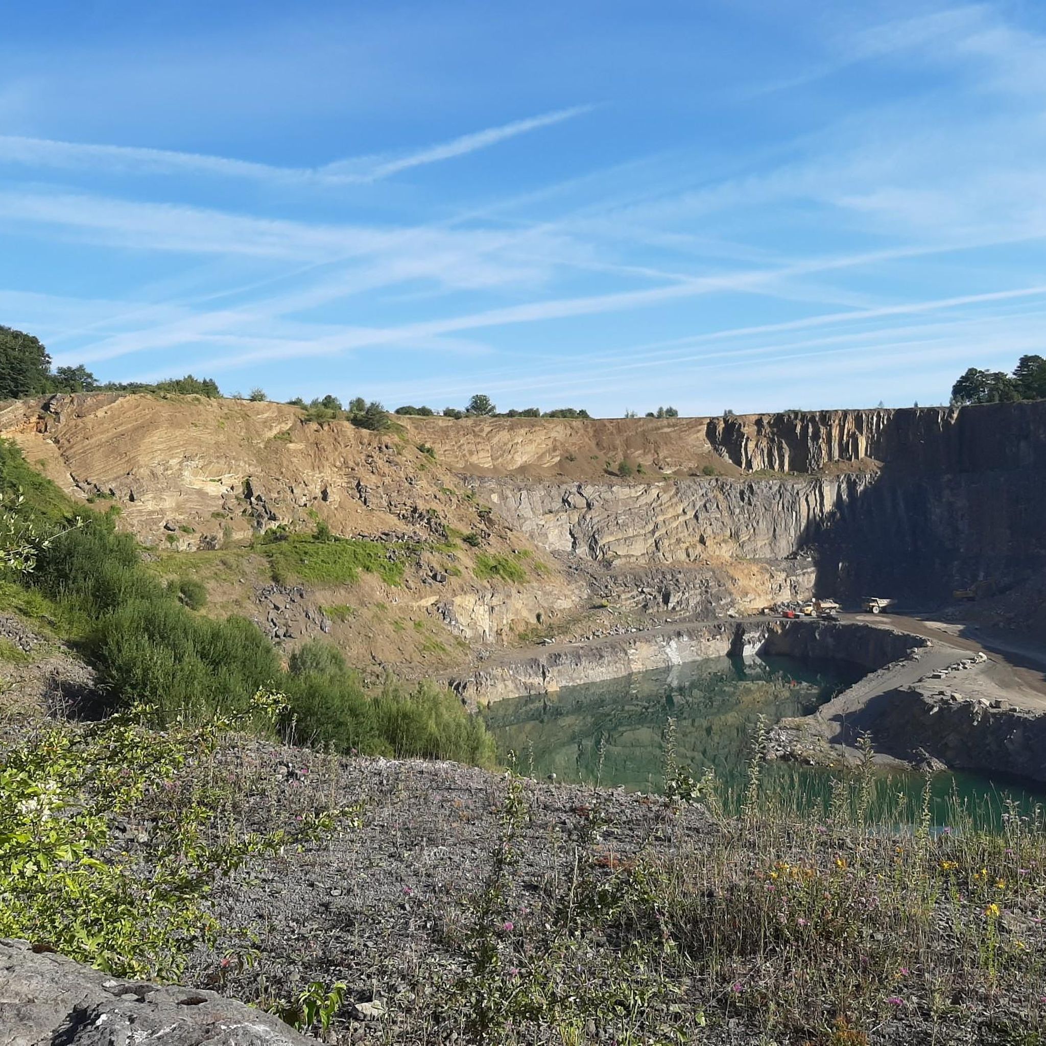
デュルビュイでのサイクリング
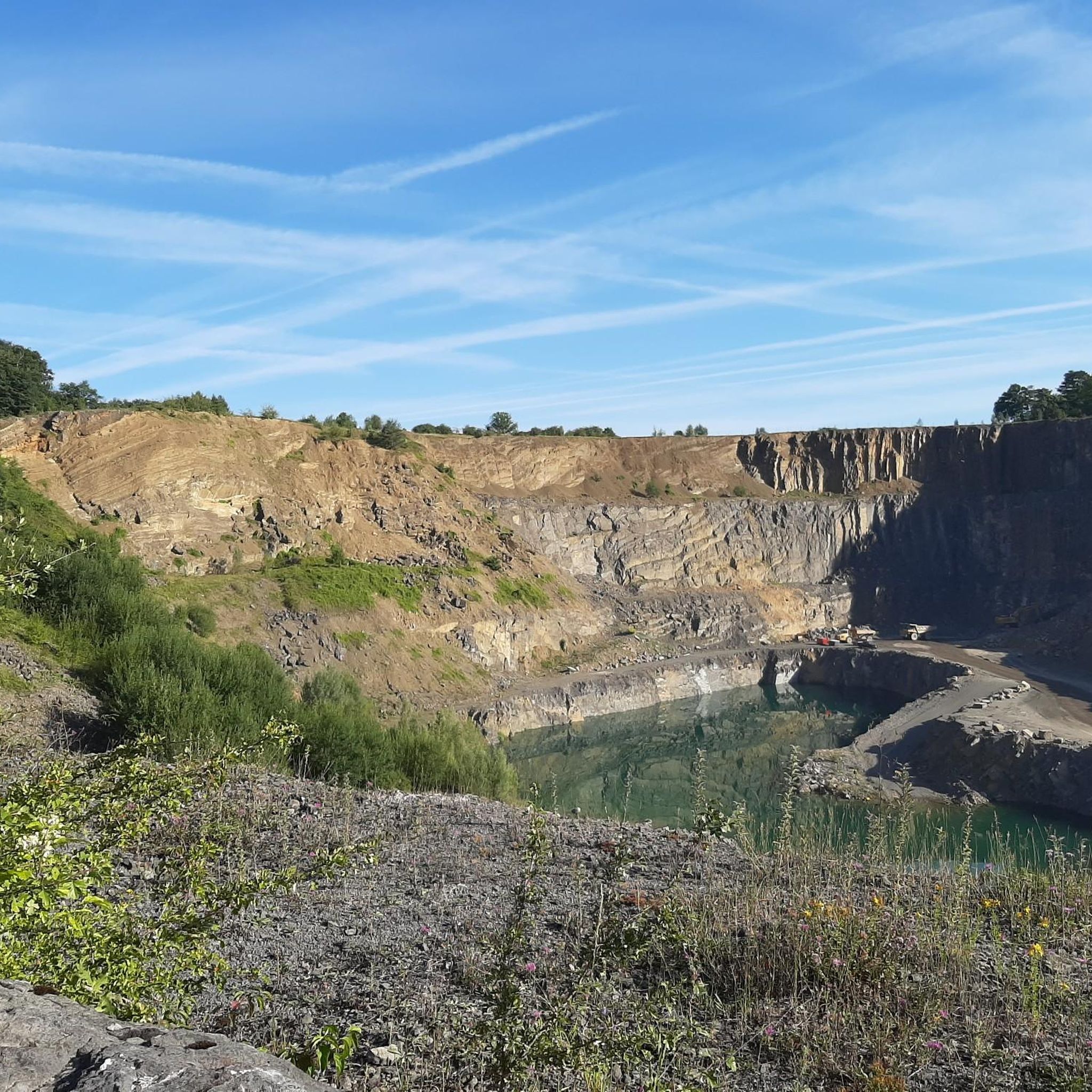
デュルビュイのMTBトレイル
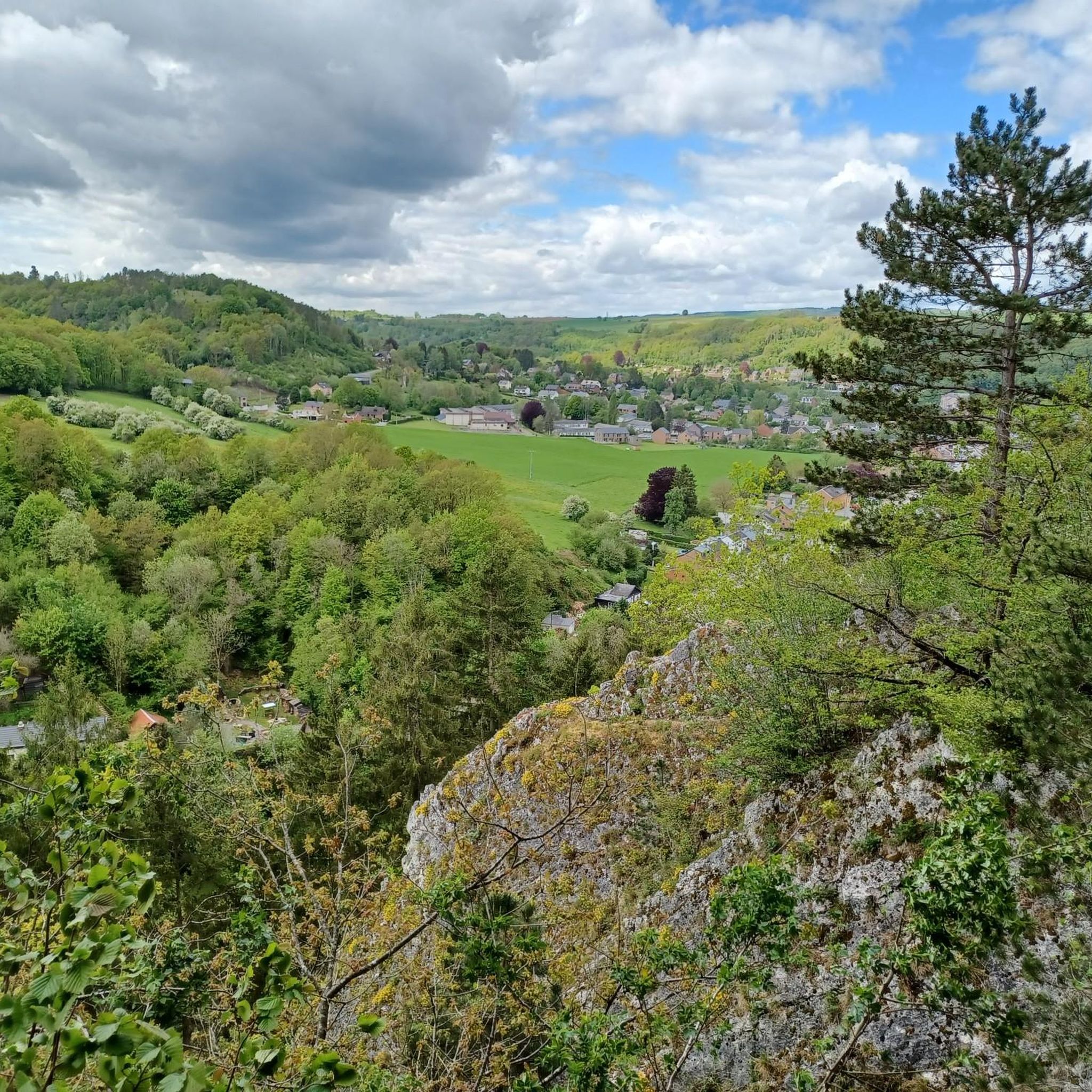
デュルビュイのランニングコース
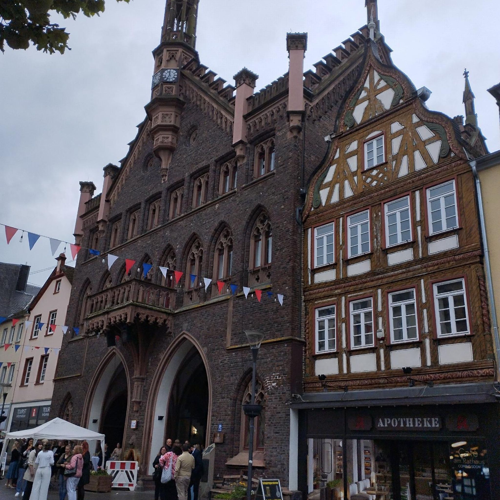
デュルビュイでののグラベルライド
デュルビュイでのの他の冒険


コミュニティからのヒント


美しく緑豊かな環境に位置するこの見事な高さ35メートルの石灰岩の岩は、ウルテ川の上にそびえ立っています。 「Roche à Hierneux」としても知られ、岩の左側は水中にあり、岩自体には4つの興味深い空洞があり、そのうちの1つは岩を貫通しています。
4
0

Varied and surprising: forest, climbing, valleys, meadows, city!
0
0

A beautiful bridge with a view of the castle
1
0


On the side of the bridge, you'll find a four-language (FR/NL/DE/UK) information board with the information about the bridge Herwig mentions. It could use replacing. Other interesting facts about the bridge with visible remains: the metal cross, surmounted by a cast and painted iron statue of Christ on the railing, dates from the eighteenth century. As mentioned, the limestone base inscribes the construction years of the various successive bridges: 1725, 1909, and 1954. The base of the cross itself has also been replaced. The previous one, also part of the city's small heritage, stands on the side of the church next to the old graves. This stone stood there between 1909 and 1940 and was blown up during the war. It was replaced in 1954, just like the bridge. If you go down the stairs towards the parking lot on the other side of the bridge (the side with the information board), you will see another reminder, remains and information about the mill.
6
0
デュルビュイでのの人気観光スポット

komootモバイルアプリでインスピレーションを得よう


