トルノロのおすすめツーリングルート
4.7
(118)
1,663
ライダー
103
ライド
トルノロ周辺でのおすすめのサイクリングルートを参考にして、このエリアを最大限に楽しみましょう。ここでご紹介するのは、トルノロ周辺の人気バイクライドです。ぜひ、自分に合ったルートを見つけてください。
最終更新日: 8月 23, 2026
5.0
(2)
136
ライダー
115km
08:10
2,180m
2,180m
難しい自転車ライド. 標準以上のフィットネスレベルが必要です。 全般的に舗装された状態です。あらゆるスキルレベルに適しています。
4.3
(4)
81
ライダー
42.5km
03:47
1,200m
1,200m
難しい自転車ライド. 標準以上のフィットネスレベルが必要です。 全般的に舗装された状態です。あらゆるスキルレベルに適しています。

無料新規登録
4.5
(6)
41
ライダー
49.1km
03:51
1,340m
1,340m
難しい自転車ライド. 標準以上のフィットネスレベルが必要です。 全般的に舗装された状態です。あらゆるスキルレベルに適しています。
4.3
(12)
52
ライダー
53.8km
03:33
760m
760m
難しい自転車ライド. 標準以上のフィットネスレベルが必要です。 全般的に舗装された状態です。あらゆるスキルレベルに適しています。
35
ライダー
75.2km
05:21
1,520m
1,520m
難しい自転車ライド. 標準以上のフィットネスレベルが必要です。 全般的に舗装された状態です。あらゆるスキルレベルに適しています。
さらに多くのルートや他のユーザーのおすすめ情報を確認できます。
無料新規登録
すでにアカウントをお持ちですか?
おすすめのツアーは他のkomootユーザーが実際に経験した何千ものアクティビティに基づいています。
無料アカウントで今日から始めよう
次の冒険が待っています。
ログインまたは登録

コミュニティからのヒント

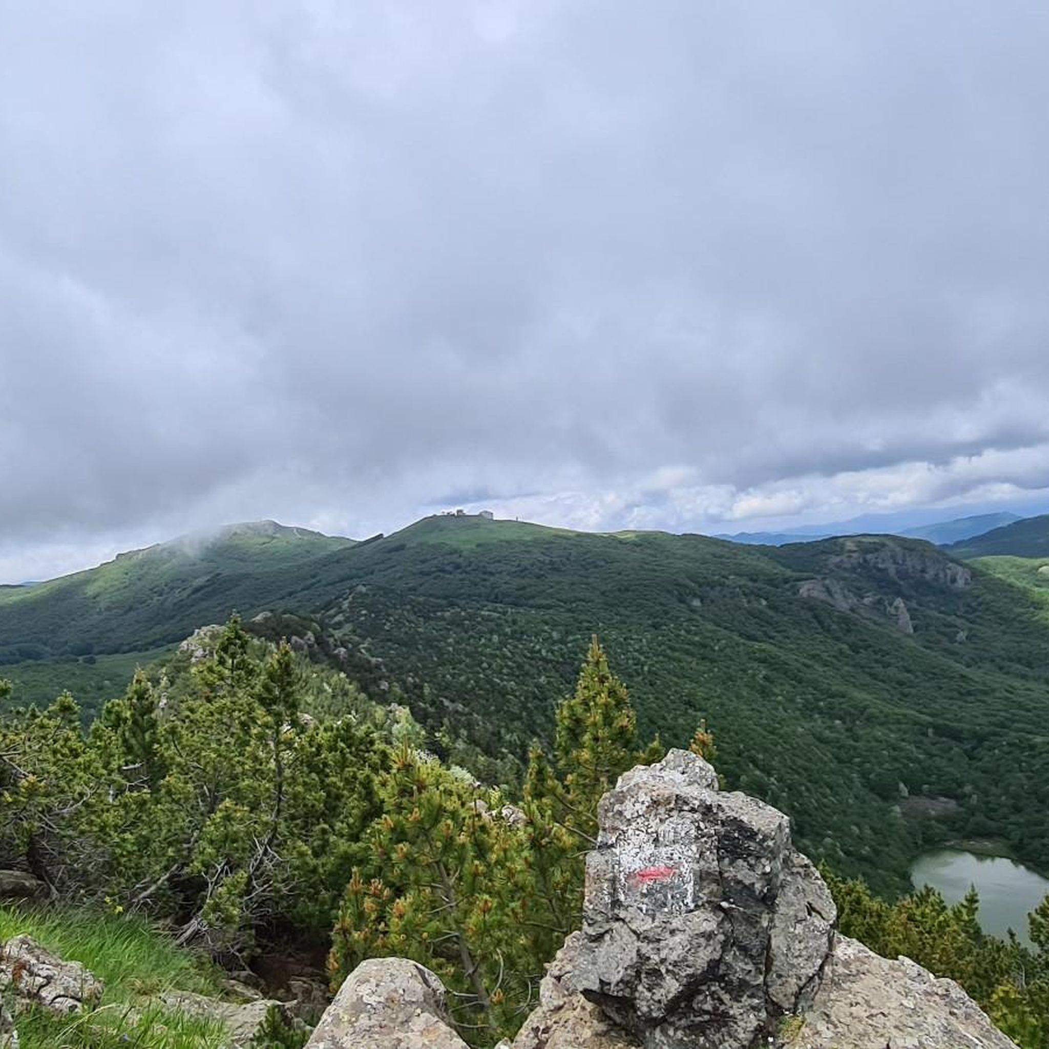
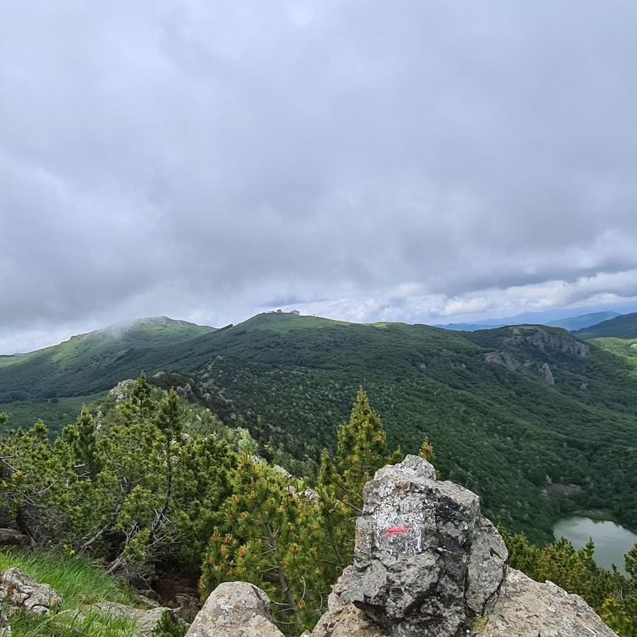
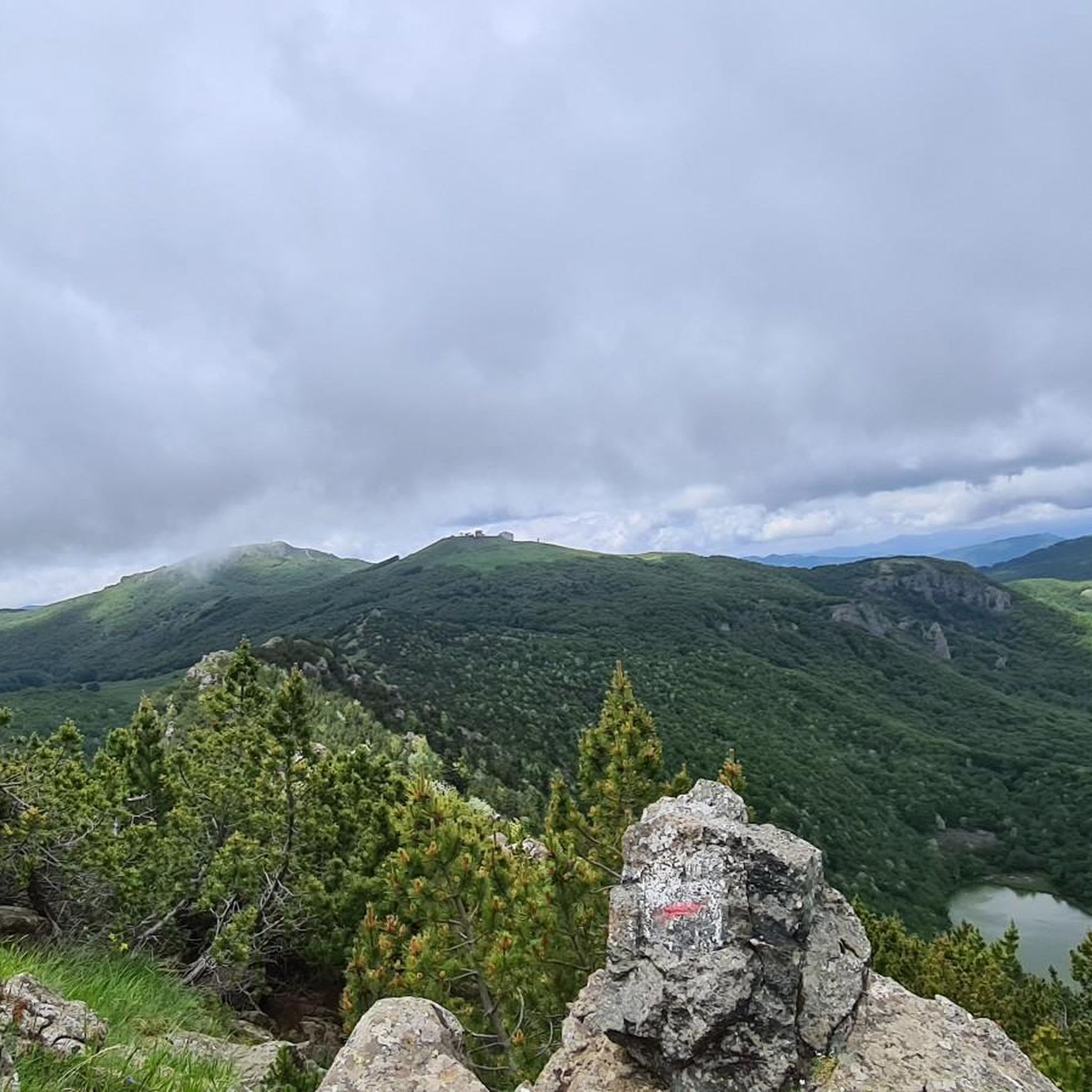
古い兵舎を再利用して建てられた、食事も宿泊もできる素敵な避難所です。素晴らしいロケーションにあり、この地域を訪れる際には必ず立ち寄る場所となっています。
0
0


Pria Burgheisa (Pietra Borghese) is a massive outcrop of mantle peridotites, among the best-known and most significant in the area. It lies on the southwestern edge of the Prato Mollo plateau, on the southern slopes of Mount Aiona, at an altitude of 1,465 m. It is a geosite of considerable petrographic, mineralogical, and regional geological interest, allowing us to study the evolution of a portion of the lithospheric mantle subsequently involved in the Apennine orogeny. The outcrop has a highly irregular shape: 30 m long, 10 m wide at its maximum, and 7–8 m high. The rocks are dark in color, ranging from blackish to brownish; the mass is affected by three main fracture systems, more or less orthogonal to each other, which fragment it into numerous square-shaped blocks. The surface of the blocks has a pitted appearance, as the pyroxene crystals, more resistant to erosion than olivine, remain prominent. At the outcrop, mantle foliation is evident, due to the presence of frequent pyroxenite bands. Source: Liguria Geosite Registry.
0
0

In the heart of the village of Prati di Mezzanego, right near the town hall, stands a magnificent centuries-old wisteria, listed in the Ligurian Regional Register of Monumental Trees. The plant has entwined itself around an old metal structure, now completely engulfed in branches, creating a natural display reminiscent of an art installation. The most evocative time to admire it is early spring, when the blossoms offer a truly unique display of colors and scents.
0
0
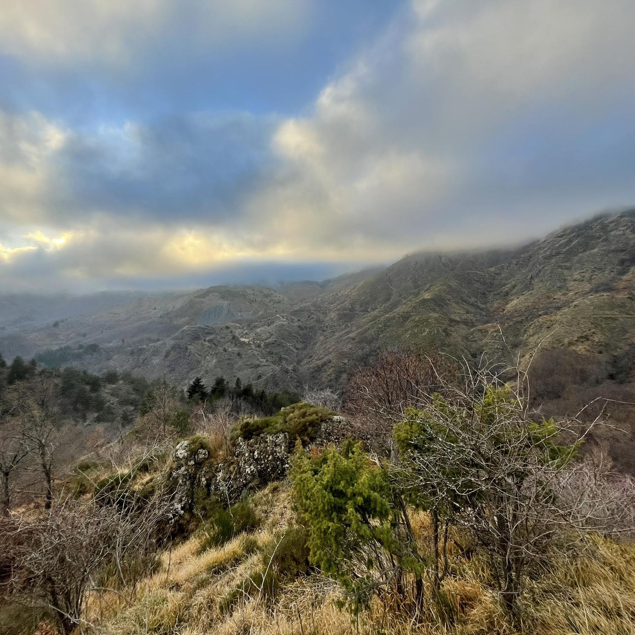
Situated at 717 meters above sea level, Santa Maria del Taro is a hamlet in the municipality of Tornolo (province of Parma), nestled in the heart of the Northern Apennines, near the border between Emilia and Liguria. Since the early Middle Ages, its strategic position along the ancient ridge road connecting the sea to the Po Valley has made it a transit and trade center, as well as a military and commercial control point. The name itself recalls the religious devotion that has permeated the town for centuries: the church-sanctuary dedicated to the Nativity of Mary, rebuilt in neoclassical style between 1807 and 1834, stands on an older structure and has been the spiritual center of the upper Taro Valley for centuries. The building, with its broad façade and stone bell tower, preserves a deep devotional tradition that is still alive. A short walk from the center is the Ponte dei Priori, a medieval humpbacked stone structure that once served as the only permanent access to the valley and symbolically marked the passage between the lands of the Malaspina and Fieschi families, two powerful feudal families of the Apennines. Over the centuries, Santa Maria del Taro has maintained an identity suspended between Emilian and Ligurian culture, evident in the features of its rural architecture, local dialects, and popular customs.
0
0
The Rifugio Casermette del Penna (1,400 m) is located within the Aveto Park, in a beautiful beech forest at the foot of Mount Penna, where the Forestry Corps barracks once stood. Renovated sustainably using local wood, photovoltaic panels, and a biomass boiler, the refuge offers 25 beds in both rooms and dormitories, as well as home-cooked meals prepared using local produce. Today, it is a popular destination for hikers, families, and groups, thanks in part to the large green lawn in front of the building: in summer, it's ideal for relaxing in the sun, picnicking, or letting children play freely. The location is perfect for exploring the trails of Mount Penna, the Lago Penna loop, the Pennino forests, or tackling more technical climbs to the rocky peaks. In winter, it's an ideal base for snowshoeing and cross-country skiing.
0
0
Situated at 956 meters between the Vara and Aveto Valleys, the Bocco Pass is one of the historic passes of the Ligurian Apennines, used since ancient times as a connection between the Tyrrhenian coast and the Po Valley hinterland. Already in Roman times, it was part of a secondary transit network, but it was especially in the Middle Ages and modern times that the pass assumed a central role in local traffic: a route for merchants, shepherds, and pilgrims, it connected Chiavari and the Riviera with Varese Ligure and the Emilian plains. Traces of the ancient paving are still visible today in the surrounding woods. During the Second World War, the area served as a refuge for partisan groups, thanks to its secluded location and dense forest cover. Today, the pass is a destination for cyclists and hikers, immersed in an unspoiled mountain landscape of beech and fir forests and highland meadows, at the gateway to the Aveto Regional Natural Park.
0
0
This stretch of the dirt road that climbs from Perlezzi towards the Aiona–Pratomollo Refuge runs entirely through a splendid beech forest. Many of the trees are large, a sign of the age and majesty of the forest. In summer, you cycle in the shade of a cool green tunnel; in autumn, the landscape is tinged with warm shades, from yellow to brown. Even in winter, the forest retains a special charm, with the branching of the beech trees clearly visible in its elegant geometry. The surface is compact and smooth, making cycling easy. The difference in height is minimal, making this stretch particularly pleasant to ride.
0
0

komootモバイルアプリでインスピレーションを得よう


さらに探索
他の地域の最高のサイクリングルートを見てみましょう。
