トルノロでののおすすめグラベルライド
4.0
(1)
26
ライダー
6
ライド
komootがまとめたトルノロでののおすすめグラベルライドを参考にして、グラベルライドの魅力を最大限に楽しみましょう。難易度の高い登り坂や絶景のトレイルなど、あらゆるルートの中から厳選したトルノロでののグラベルライドをご覧ください。
最終更新日: 7月 31, 2026
5
ライダー
76.2km
06:59
2,470m
2,470m
難しいグラベルライド. 標準以上のフィットネスレベルが必要です。 全般的に舗装された状態です。あらゆるスキルレベルに適しています。
3
ライダー
71.4km
06:01
2,040m
2,040m
難しいグラベルライド. 標準以上のフィットネスレベルが必要です。 全般的に舗装された状態です。あらゆるスキルレベルに適しています。

無料新規登録
5
ライダー
66.1km
05:00
1,470m
1,470m
難しいグラベルライド. 標準以上のフィットネスレベルが必要です。 全般的に舗装された状態です。あらゆるスキルレベルに適しています。
4
ライダー
80.9km
06:41
2,520m
2,520m
難しいグラベルライド. 標準以上のフィットネスレベルが必要です。 全般的に舗装された状態です。あらゆるスキルレベルに適しています。
2
ライダー
95.4km
08:02
3,080m
3,080m
難しいグラベルライド. 標準以上のフィットネスレベルが必要です。 全般的に舗装された状態です。あらゆるスキルレベルに適しています。
おすすめのツアーは他のkomootユーザーが実際に経験した何千ものアクティビティに基づいています。
無料アカウントで今日から始めよう
次の冒険が待っています。
ログインまたは登録
コミュニティからのヒント

林道に沿って容易に標識されています。
0
0
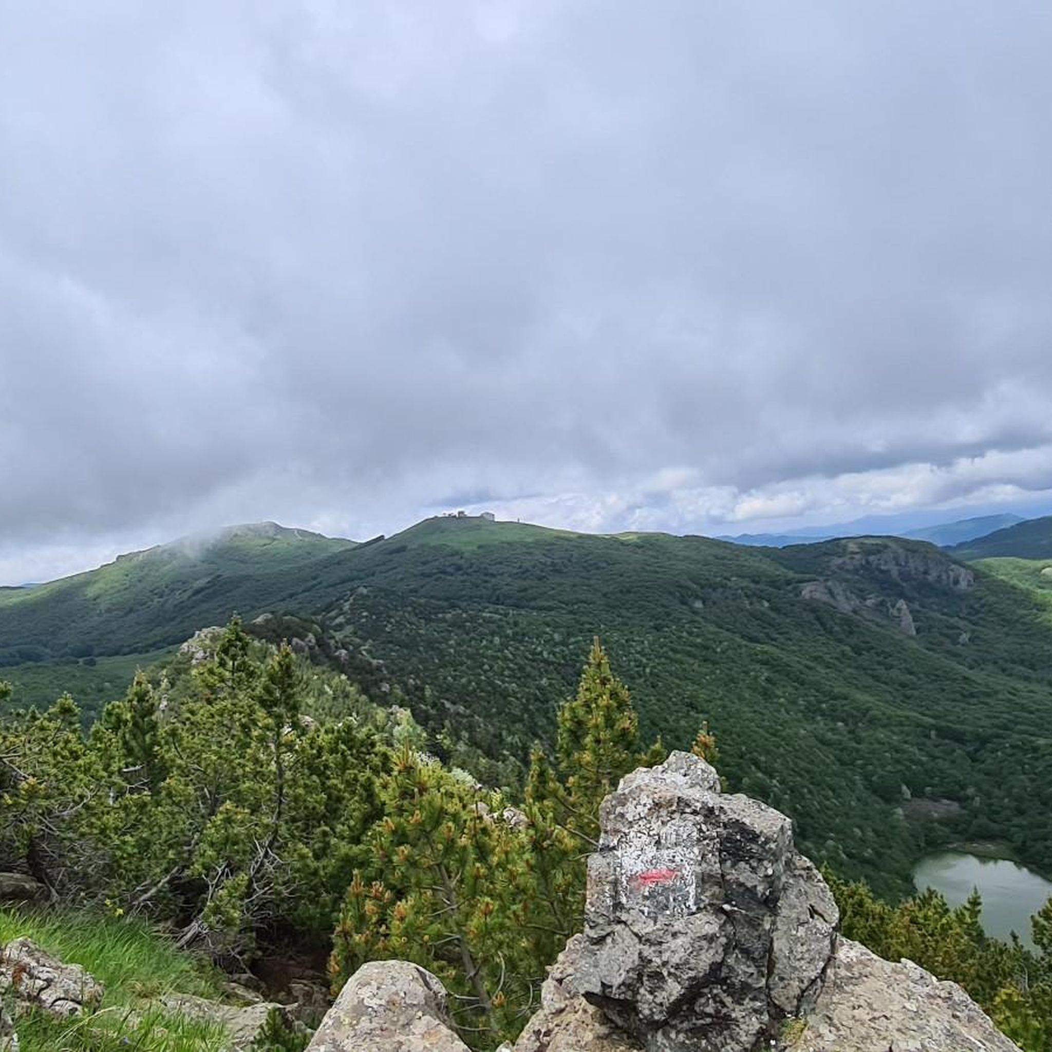
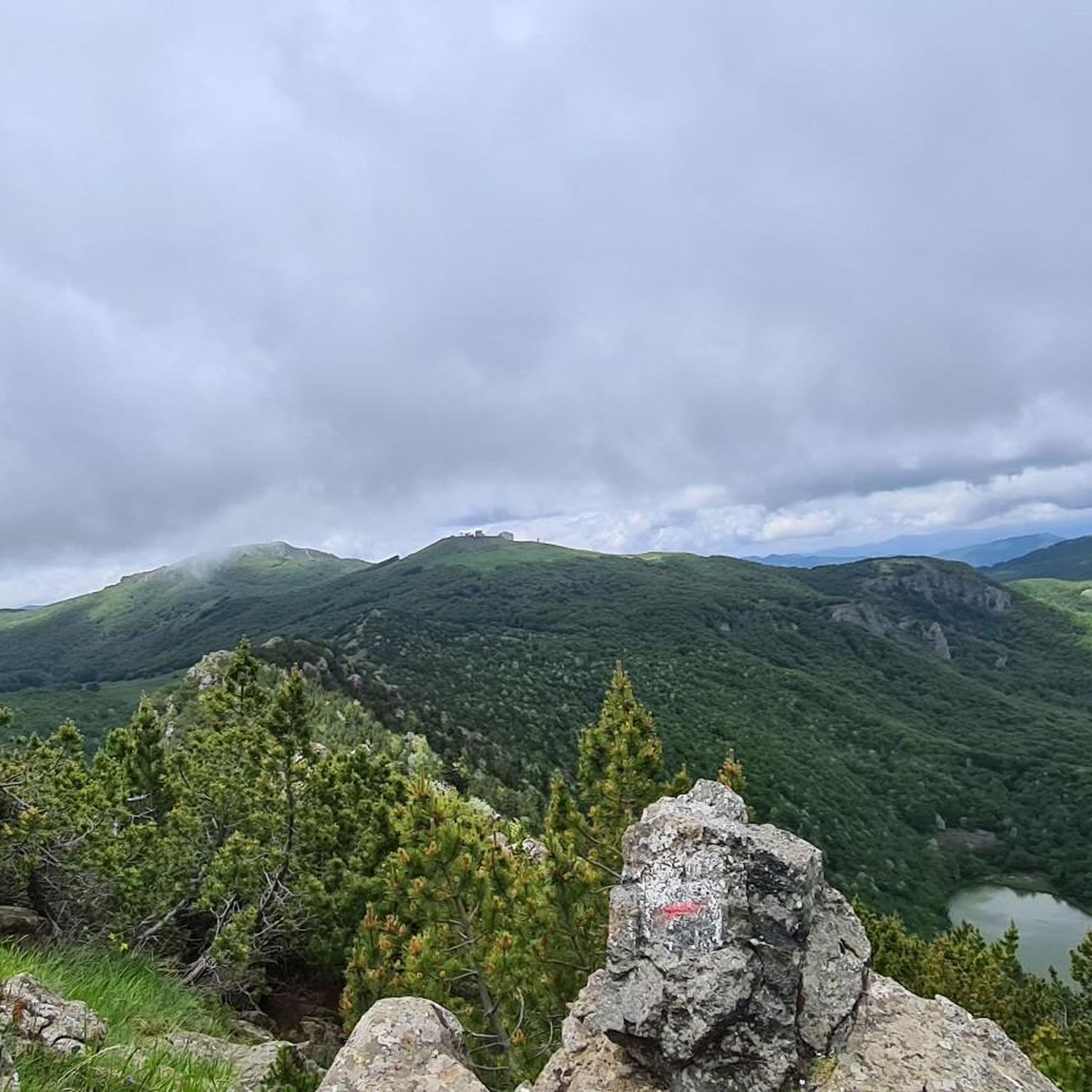
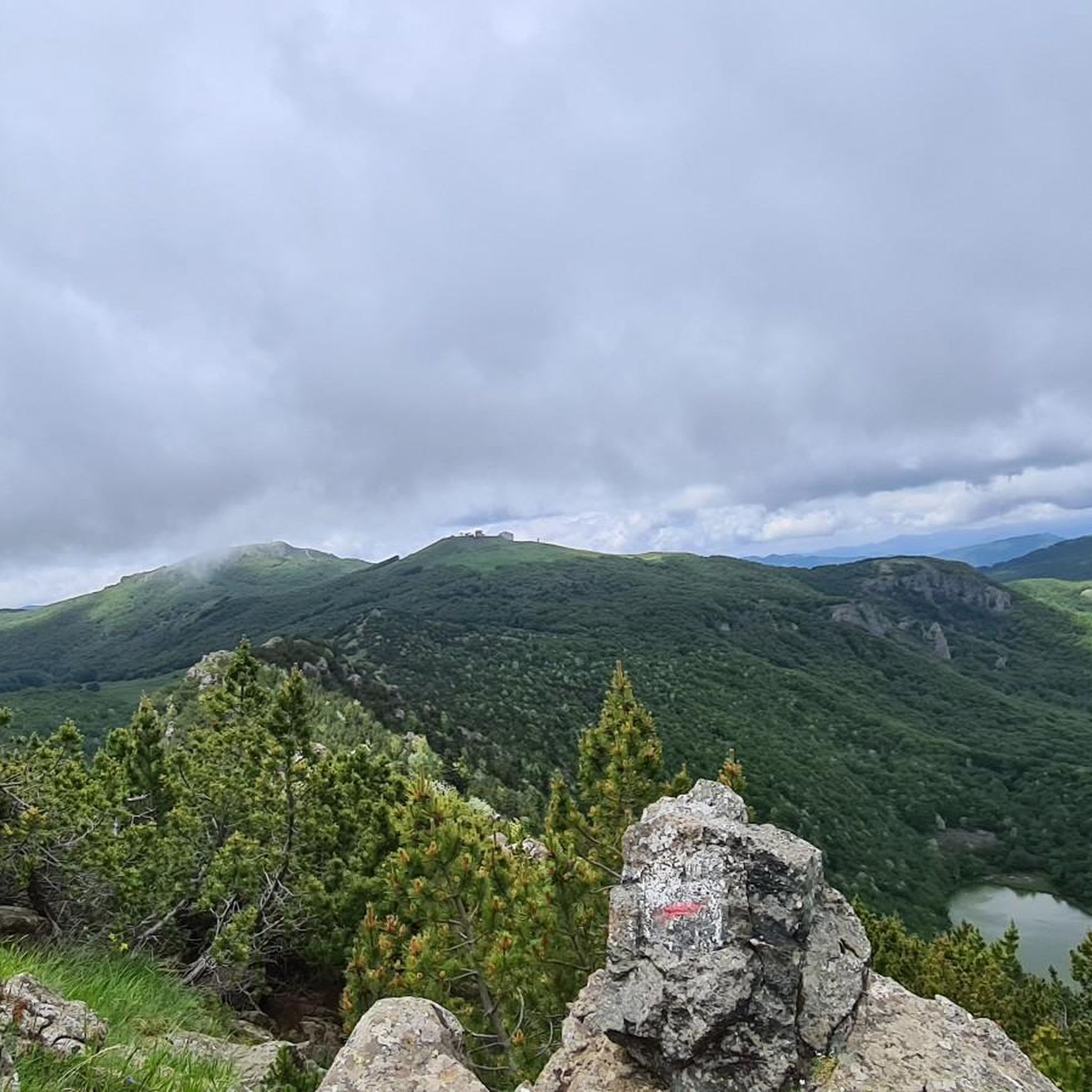
アペニン・リグレ峠は標高1,452mに位置し、車でアクセス可能で、様々なハイキングコースが分岐する交差点です。
0
0
古い兵舎を再利用して建てられた、食事も宿泊もできる素敵な避難所です。素晴らしいロケーションにあり、この地域を訪れる際には必ず立ち寄る場所となっています。
0
0
Established in December 2010, it covers the southwestern portion of the Province of Parma, divided between the municipalities of Albareto and Borgo Val di Taro. With an altitude ranging from 478 to 693 meters above sea level, it covers an area of approximately 370 hectares and is located within the larger WWF Oasis of the same name.
0
0

Pria Burgheisa (Pietra Borghese) is a massive outcrop of mantle peridotites, among the best-known and most significant in the area. It lies on the southwestern edge of the Prato Mollo plateau, on the southern slopes of Mount Aiona, at an altitude of 1,465 m. It is a geosite of considerable petrographic, mineralogical, and regional geological interest, allowing us to study the evolution of a portion of the lithospheric mantle subsequently involved in the Apennine orogeny. The outcrop has a highly irregular shape: 30 m long, 10 m wide at its maximum, and 7–8 m high. The rocks are dark in color, ranging from blackish to brownish; the mass is affected by three main fracture systems, more or less orthogonal to each other, which fragment it into numerous square-shaped blocks. The surface of the blocks has a pitted appearance, as the pyroxene crystals, more resistant to erosion than olivine, remain prominent. At the outcrop, mantle foliation is evident, due to the presence of frequent pyroxenite bands. Source: Liguria Geosite Registry.
0
0


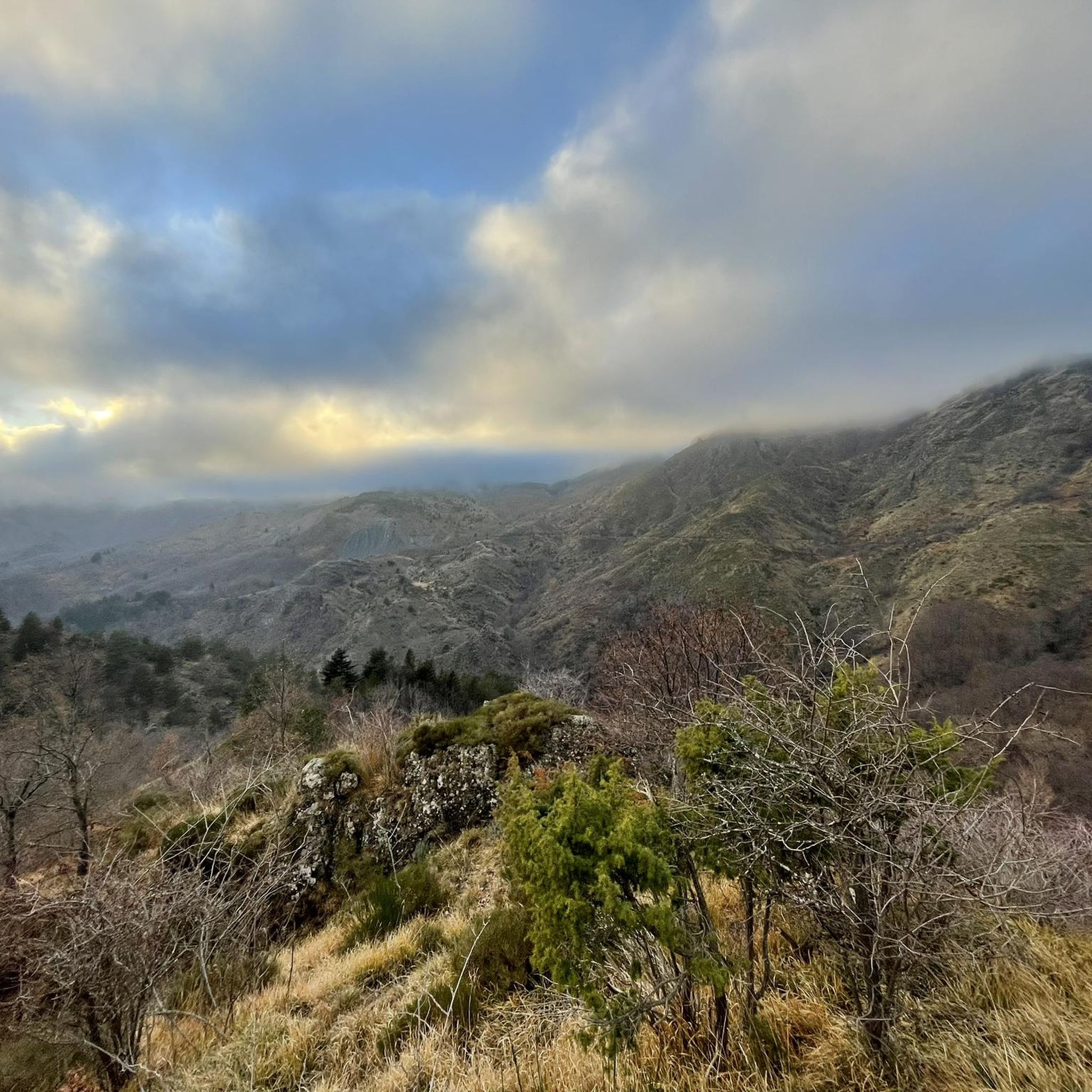
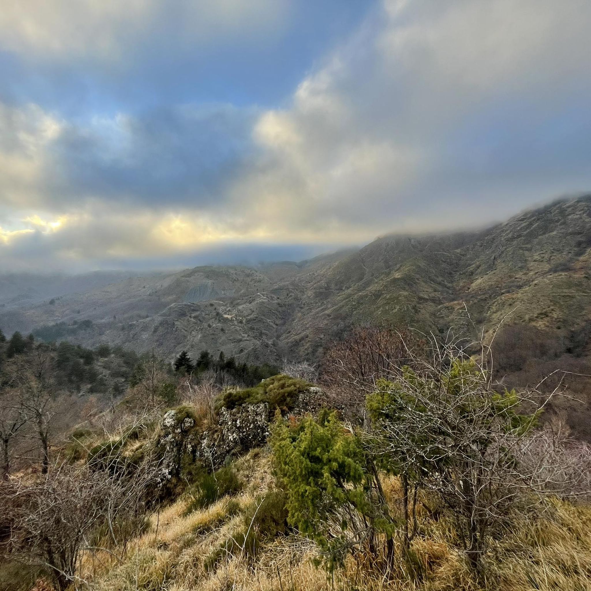
Done in the last few days... no problem with the mountain bike, no serious problems... the road has worsened since last year... nice anyway... other routes from the pass on the left towards the Val del Gromolo... hills on the right... another in Maissana and in the center continuing spectacularly towards Monte Porcile and then descending towards the Passo del Biscia... all beautiful with good preparation... bye
0
0

Situated at 717 meters above sea level, Santa Maria del Taro is a hamlet in the municipality of Tornolo (province of Parma), nestled in the heart of the Northern Apennines, near the border between Emilia and Liguria. Since the early Middle Ages, its strategic position along the ancient ridge road connecting the sea to the Po Valley has made it a transit and trade center, as well as a military and commercial control point. The name itself recalls the religious devotion that has permeated the town for centuries: the church-sanctuary dedicated to the Nativity of Mary, rebuilt in neoclassical style between 1807 and 1834, stands on an older structure and has been the spiritual center of the upper Taro Valley for centuries. The building, with its broad façade and stone bell tower, preserves a deep devotional tradition that is still alive. A short walk from the center is the Ponte dei Priori, a medieval humpbacked stone structure that once served as the only permanent access to the valley and symbolically marked the passage between the lands of the Malaspina and Fieschi families, two powerful feudal families of the Apennines. Over the centuries, Santa Maria del Taro has maintained an identity suspended between Emilian and Ligurian culture, evident in the features of its rural architecture, local dialects, and popular customs.
0
0

komootモバイルアプリでインスピレーションを得よう


さらに探索
他の地域の最高のグラベルライドを見てみましょう。
