トゥルノウプライラックのおすすめツーリングルート
4.4
(2102)
7,797
ライダー
229
ライド
トゥルノウプライラックでおすすめのサイクリングルートをお探しですか?行きたいルートを簡単に決められるように、このページではトゥルノウプライラック周辺の人気バイクライドをご紹介します。 ぜひ、お気に入りのルートを見つけてください。
最終更新日: 10月 24, 2026
4.5
(33)
98
ライダー
34.2km
01:58
70m
70m
初級者向けバイクライド. ほとんどが舗装路です。
4.8
(24)
108
ライダー
20.2km
01:12
30m
30m
初級者向けバイクライド. ほとんどが舗装路です。

4.6
(7)
29
ライダー
51.8km
03:28
210m
210m
中程度の自転車ライド. ある程度のフィットネスレベルが必要です。 ほとんどが舗装路です。
5.0
(3)
25
ライダー
19.4km
01:08
10m
10m
初級者向けバイクライド. ほとんどが舗装路です。
4.3
(9)
19
ライダー
19.3km
01:07
30m
30m
初級者向けバイクライド. ほとんどが舗装路です。
さらに多くのルートや他のユーザーのおすすめ情報を確認できます。
すでにアカウントをお持ちですか?
おすすめのツアーは他のkomootユーザーが実際に経験した何千ものアクティビティに基づいています。
無料アカウントで今日から始めよう
次の冒険が待っています。
コミュニティからのヒント

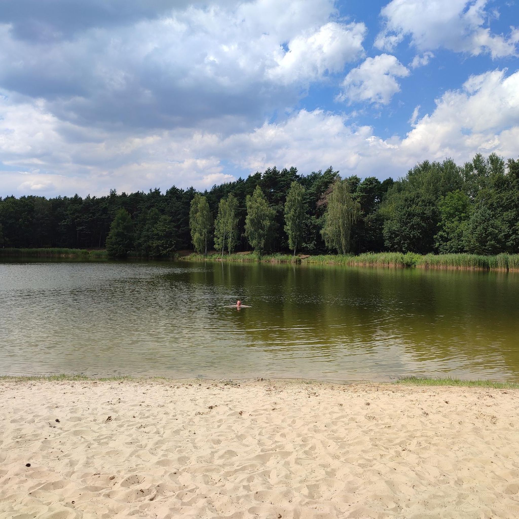
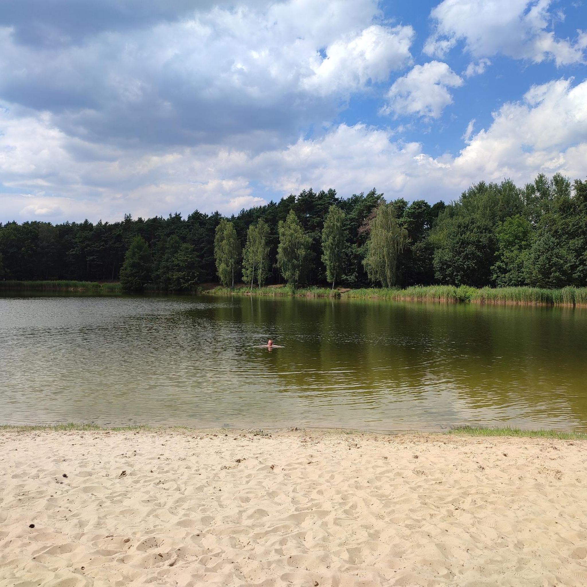
シュプレーヴァルトにあるペイツ・ペルレ(Peiz Perle)ビーチは、澄んだ水面、穏やかな岸辺、そして静かで自然に近い雰囲気で訪問者を迎える、絵のように美しいレクリエーションエリアです。シュプレーヴァルトの緑豊かな景観に囲まれたこのビーチは、水泳、日光浴、ピクニックにリラックスした雰囲気を提供します。森と典型的なシュプレーヴァルトの自然に囲まれ、大都市の喧騒から離れた静けさを感じさせます。 ビーチへのアクセスは通常簡単で、ハイキングやサイクリングのルートから容易にたどり着くことができます。
1
0

こんなにたくさんの白鳥を一度に見たのは初めてです。
0
0

This section is like a silent film on a continuous loop: a narrow strip of asphalt winds through rolling fields lined with corn, poppies, and cornflowers. In summer, the ears of corn dance in the wind, sometimes accompanied by the soft chirping of crickets—an almost meditative moment on the bike. It smells of dry earth and fresh vegetation, and the light changes depending on the time of day: cool and clear in the morning, shimmering at midday, warm and golden in the evening. Those who cycle here needn't expect anything great—just what's there: vastness, tranquility, movement at their own pace.
0
0
Lake Garkoschke is a quiet stroke of geological and industrial history. Where families splash around today and cyclists dip their weary legs in the water, there was once a blown-in sand dune from the last Ice Age. The wind carried the fine sand from the Lieberoser Heide and deposited it here – in the heart of Lusatia. Much later, in the 1970s, humans intervened again: stable building ground was needed for the new Peitz-West development, and the sand came – how convenient – from the old dune. What remained was a pit that filled with water and became a lake. What today appears to be a natural idyll is man-made – but with respect for the landscape. Lake Garkoschke demonstrates how industrial intervention can become a place of relaxation. Birch trees, alders, and reeds now grow along the shore, and the sandy beach offers enough space for bathers, cyclists, and quiet connoisseurs.
1
0
Anyone traveling from the center of Peitz toward Turnow or Lake Koschkse will sooner or later cross the Malxe River. The small, wooden bridge just beyond the railway embankment is unspectacular—and precisely for that reason worth mentioning. It's here that you transition from urban settlements to a much greener stretch, along farm tracks and through wet meadows. The bridge itself has its own rustic charm—with graffiti, bolt construction, and the clattering sound of wooden planks as you cross. Below, the Malxe River ripples at a leisurely pace; upon closer inspection, you can spot river mussels and aquatic plants in its clear, brown-green waters. A look over the meadows to the right is worthwhile—depending on the season, storks or grey herons might be seen here. A brief moment to catch your breath before continuing on: south to Teichland or west to Lake Koschkse.
0
0
Anyone cycling along the cycle path should dismount here for a moment. The Mauster gravel pit is quietly situated, almost hidden among the trees – and surprises with its clear water and a small island in the middle. Access to the shore isn't always easy, but there are some spots where you can easily reach the water. Ideal for a quiet break, a photo, or a brief pause. In sunshine, the trees reflect off the surface, and in the evenings, dramatic lighting is often created here. Not an official bathing lake, but a place that exudes natural beauty – even if it is man-made.
0
0

A round trip takes about 2 hours. The ship is a paddle steamer.
0
0

トゥルノウプライラックでのの人気観光スポット

komootモバイルアプリでインスピレーションを得よう


さらに探索
他の地域の最高のサイクリングルートを見てみましょう。
