ビピテノ-ビピテノ周辺のアトラクション&必見スポット - トップ20
ビピテノ-ビピテノには必見のスポットがたくさんあります。ハイキング愛好家やサイクリング愛好家の方は、ぜひビピテノ-ビピテノを探索してこのエリアにある20
の隠れたスポットを訪れてみてください。このエリアの必見スポットを確認し、次の冒険に出かける計画を立てましょう。
最終更新日: 8月 30, 2026
ヴィピテーノ/シュテルツィングの歴史的中心地
ハイライト • 歴史的な場所
If …
翻訳者 Google •
役立つ情報 は

ギルフェンクラーム・トレイル
ハイライト (セグメント) • 峡谷
翻訳者 Google •
役立つ情報 は
今すぐサインアップして、こんな場所を発見しよう
最高のシングルトラック、ピーク、その他のエキサイティングなアウトドアスポットのおすすめを受け取ろう。
無料新規登録
ブレンナー鉄道サイクリングロード(旧ブレンナー〜シュテルツィング鉄道跡)
ハイライト (セグメント) • サイクリングロード
翻訳者 Google •
役立つ情報 は

サッテルベルガアルム
ハイライト • 山小屋
翻訳者 Google •
役立つ情報 は

Brennerbad–Pflersch サイクリングロード
ハイライト • サイクリングロード
翻訳者 Google •
役立つ情報 は

無料でサインアップして、さらに多くの観光スポットを発見しましょう ビピテノ-ビピテノでの。
無料新規登録
すでにアカウントをお持ちですか?
無料アカウントで今日から始めよう
次の冒険が待っています。
ログインまたは登録
ビピテノ-ビピテノ周辺で人気
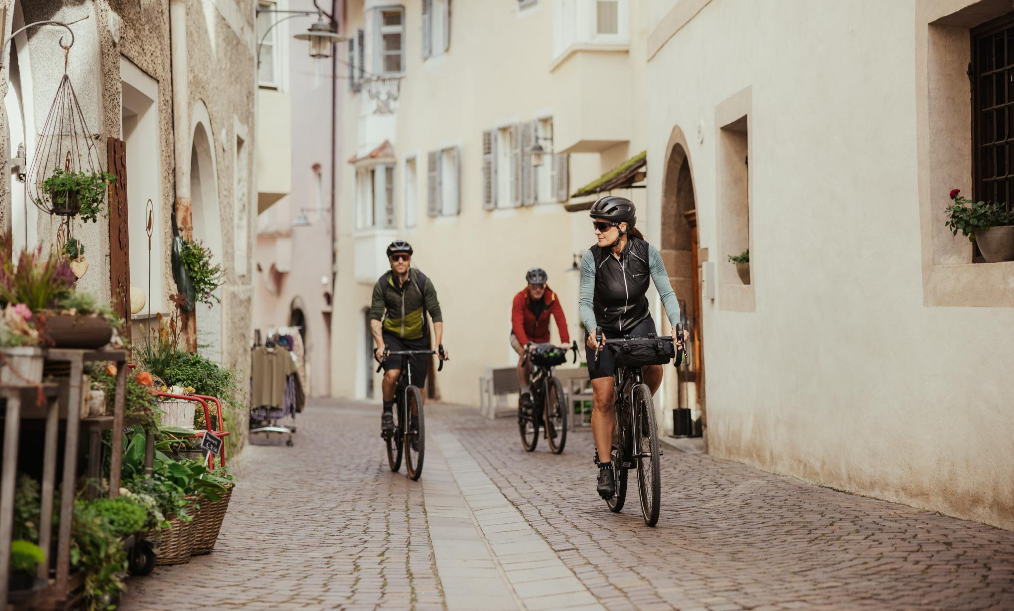
Cycling South Tyrol's historic villages – 'Borghi più belli d’Italia' in Alto Adige
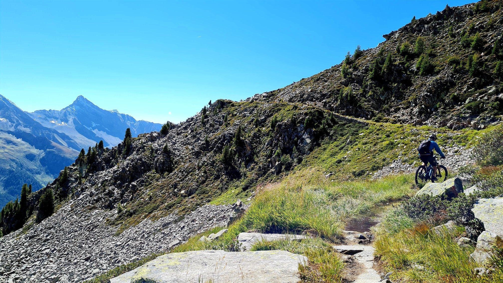
MTB-Bike-と-Hike in ブレンナー境界線
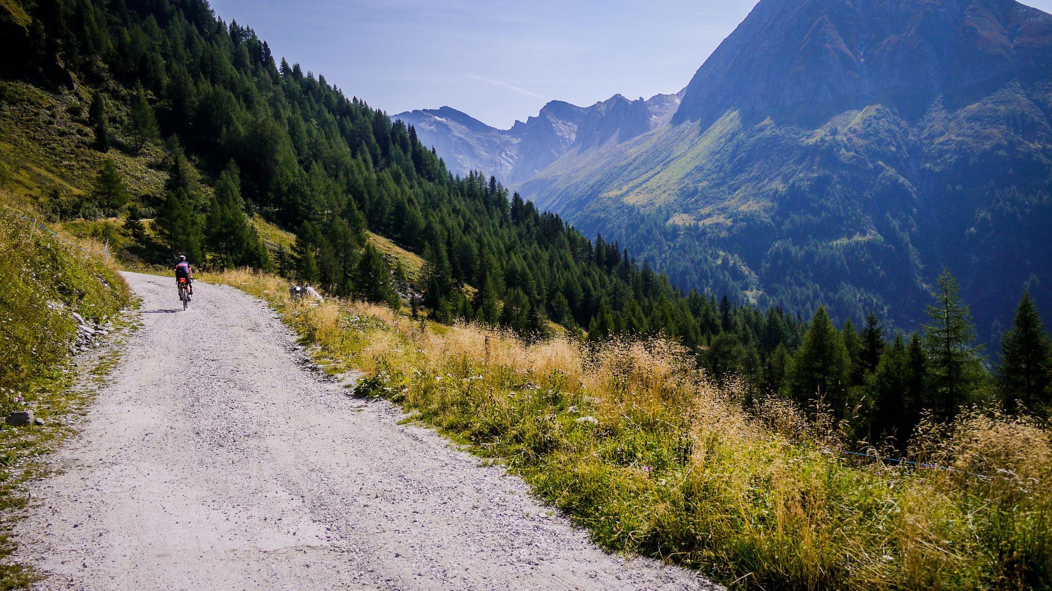
オフロードで南タイロルを通る - オーストリアとイタリアの間のバイクパッキング
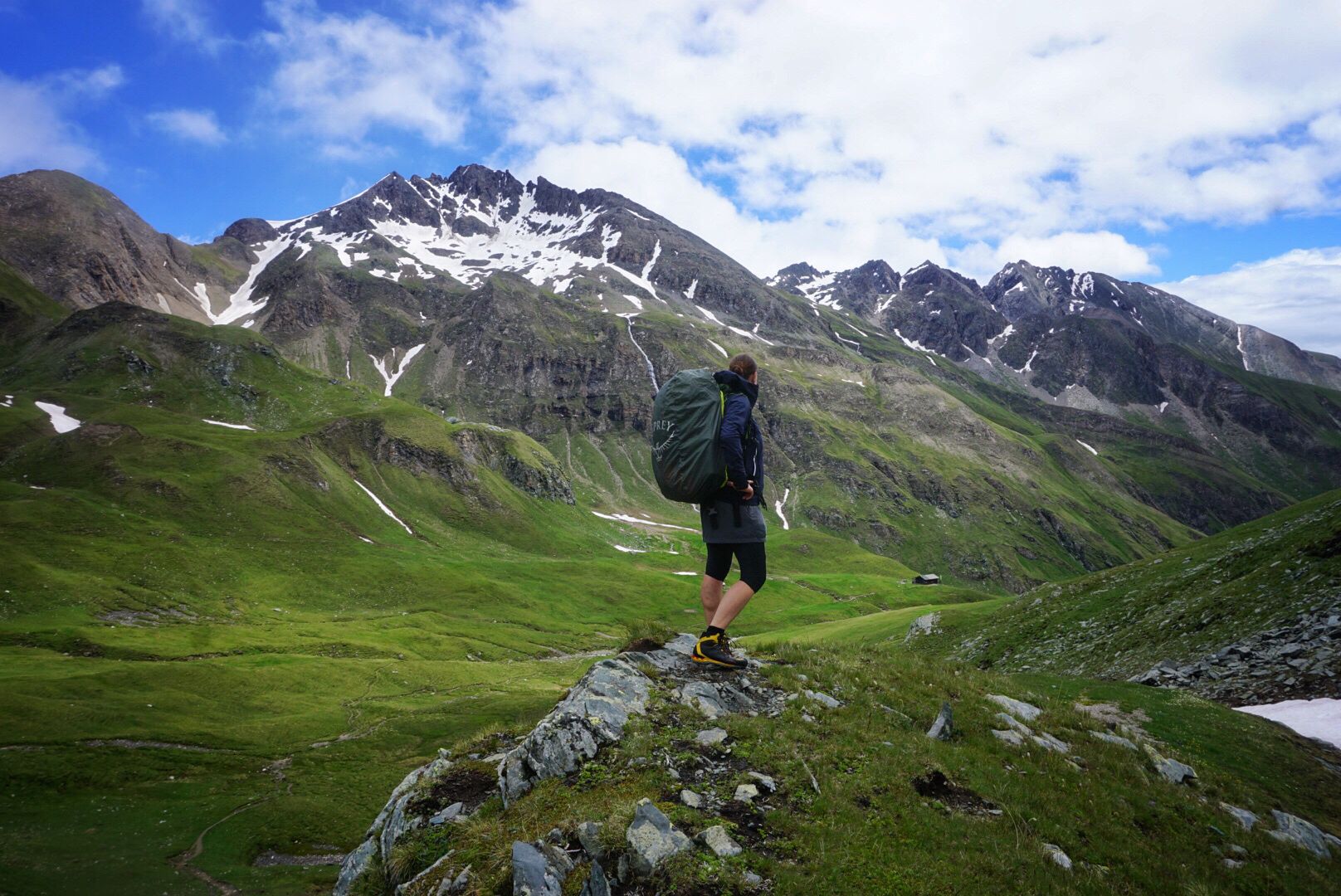
サウスタイロルのPfunderer Mountain Trail - 高山ハイキング
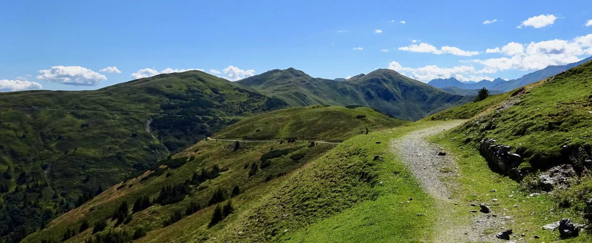
マーヴィンルート - 上級サイクリスト向けのアルプス越え
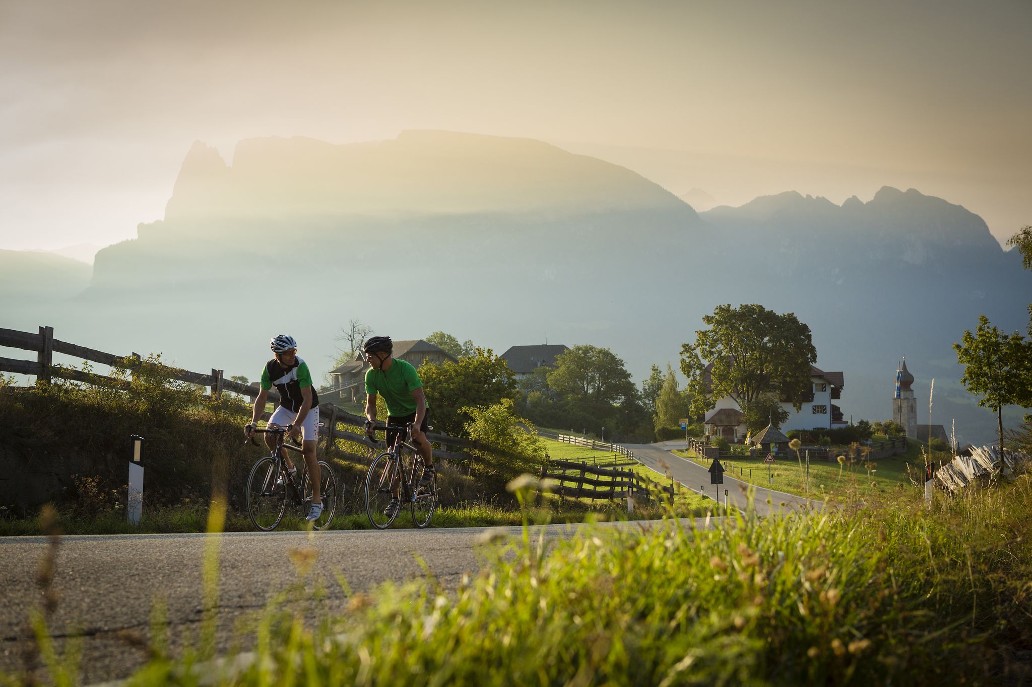
Jenseits der bekannten Pässe – Rennradperlen in Südtirol
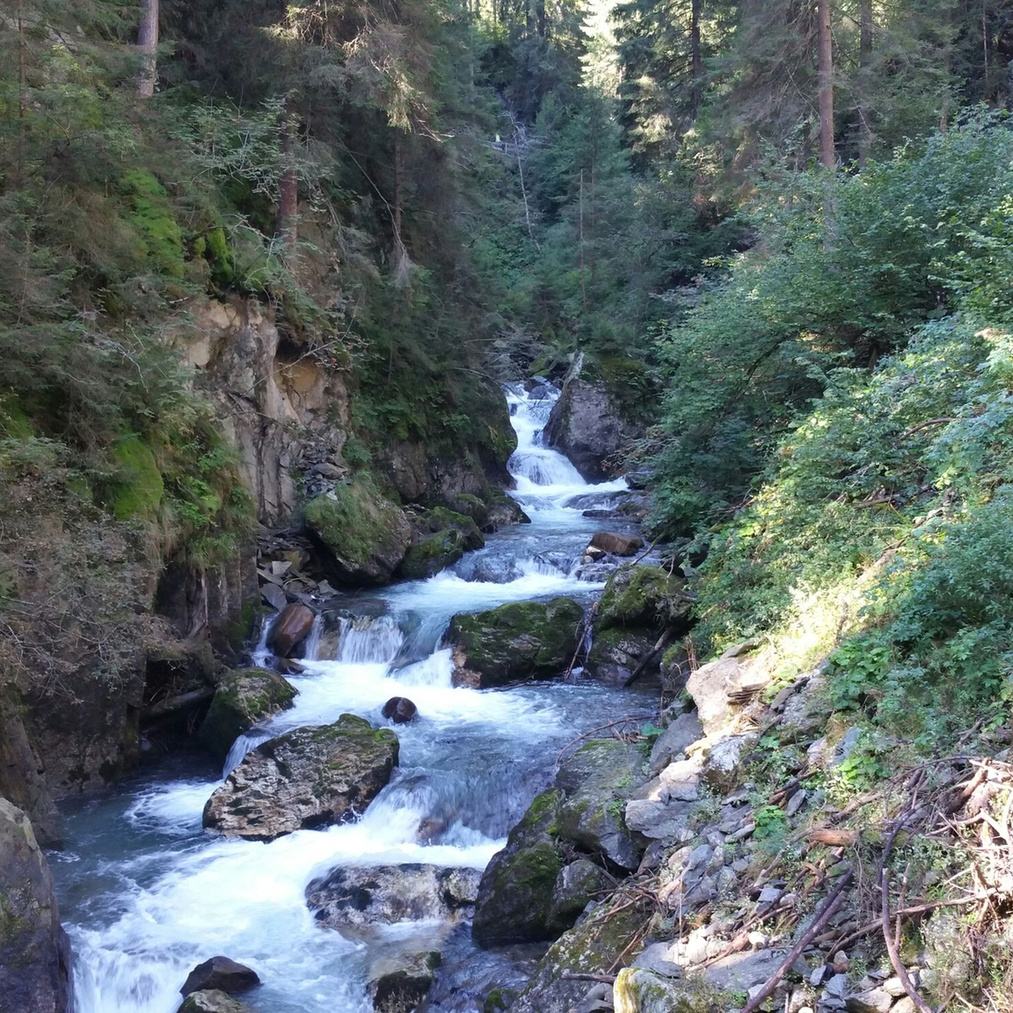
ビピテノ-ビピテノでのハイキング
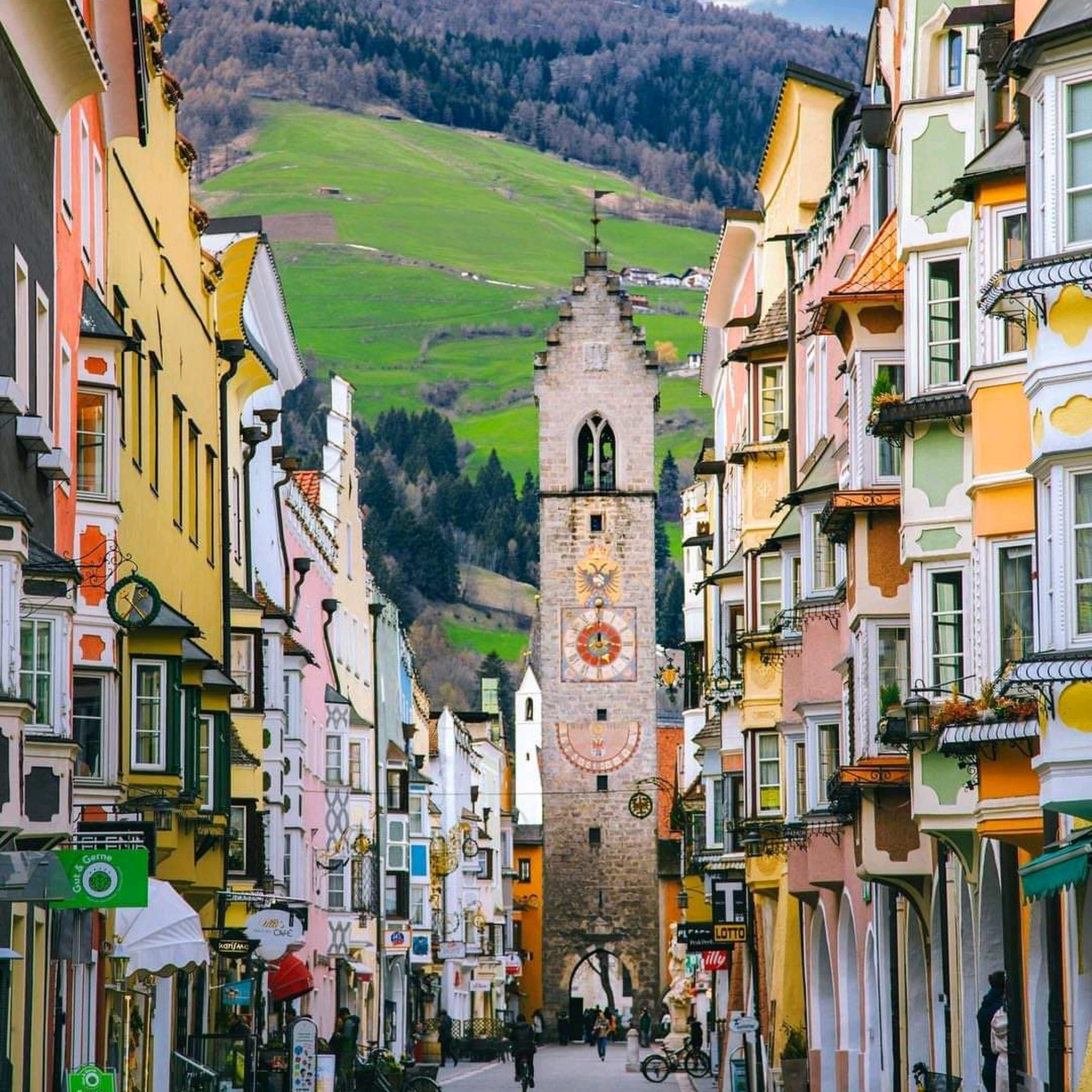
ビピテノ-ビピテノのロードバイクルート
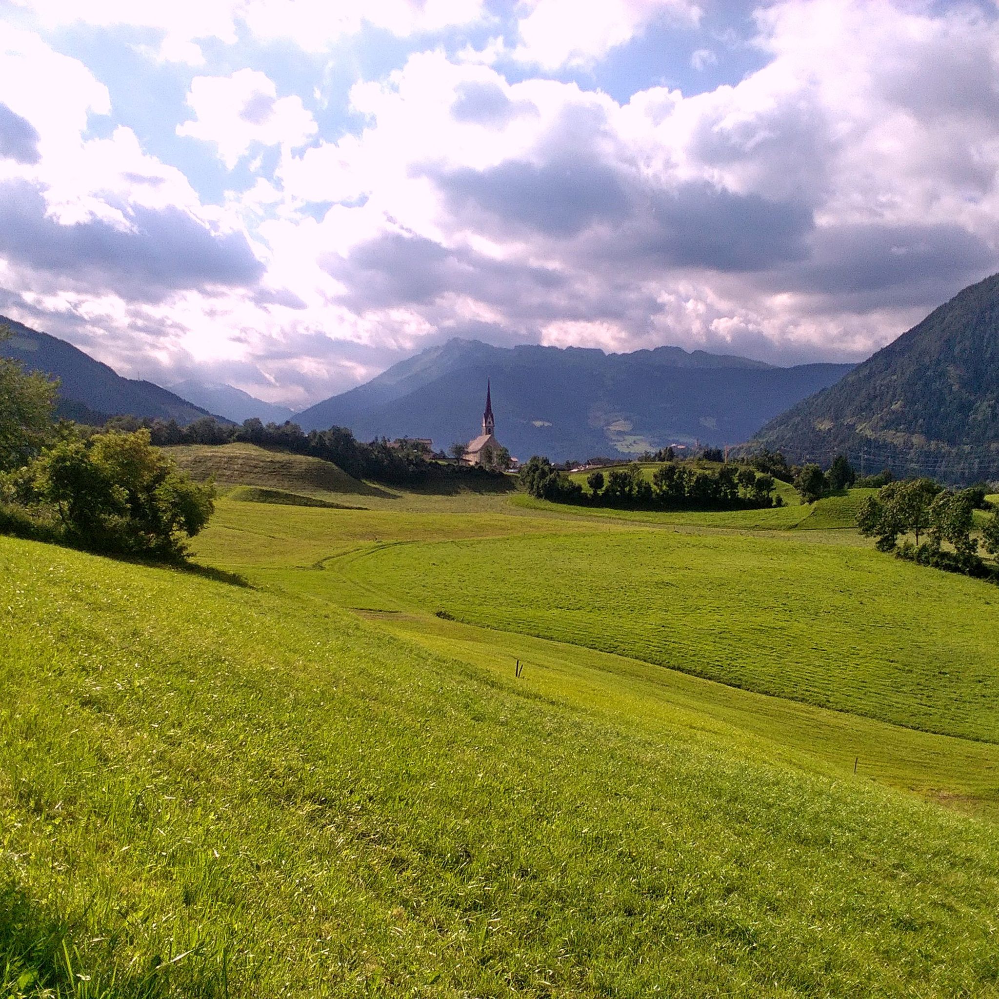
ビピテノ-ビピテノでのサイクリング
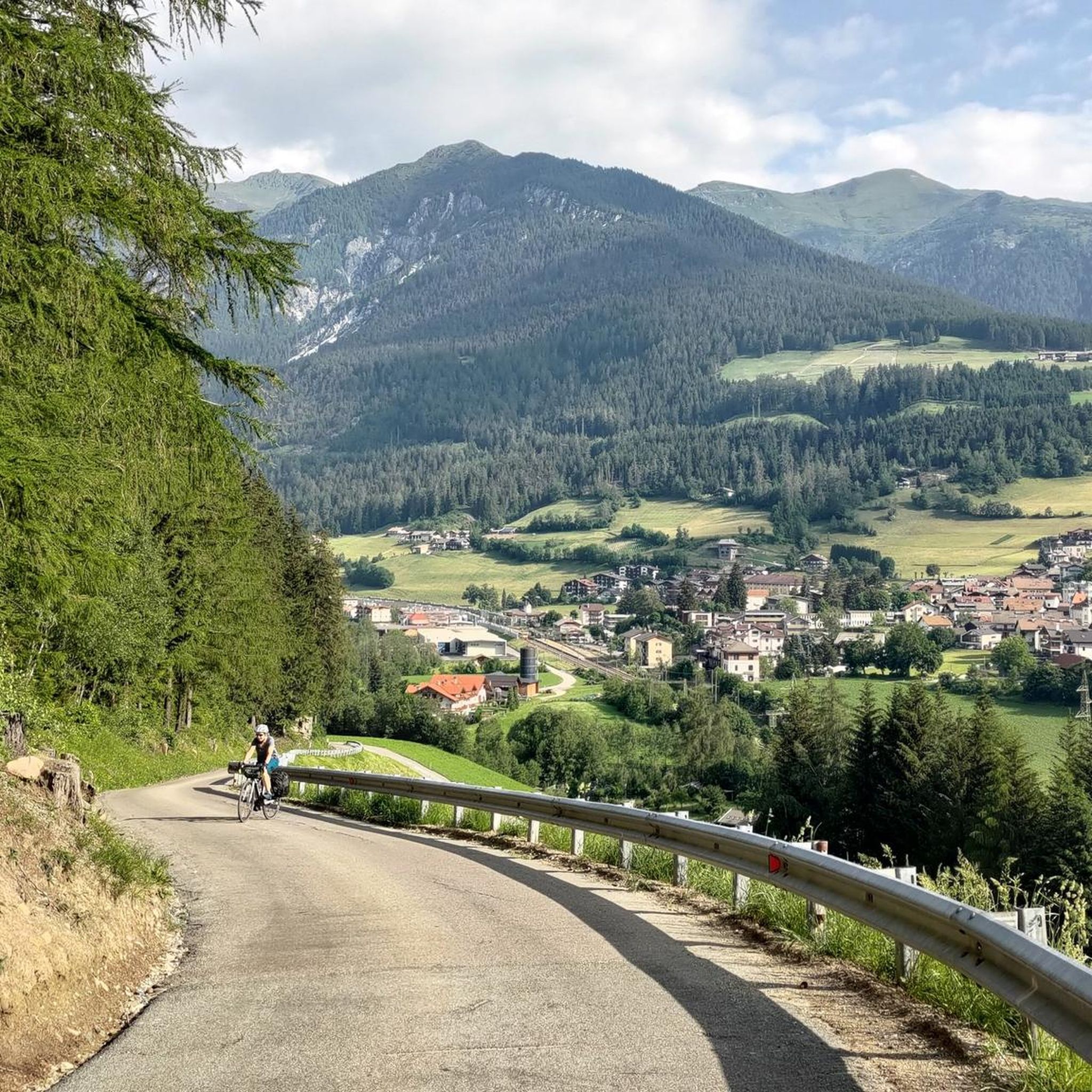
ビピテノ-ビピテノのランニングコース
ビピテノ-ビピテノでのの他の冒険


コミュニティからのヒント

A fantastic descent from the Brenner Pass on an excellent cycle path.
1
0

The old railway line is a dream for cyclists. Coming from the Brenner, you can glide downhill in a relaxed manner and take in the panoramic views. Uphill is a relaxed option, cycling from Gossensass to the Brenner and letting your gaze wander there too. Enjoy!
3
0

The journey from Brenner to Gossensaß, which partly runs along the old railway line, is absolutely fantastic! You will travel through well-lit tunnels. You will discover old station buildings and signals. You will also be able to enjoy a breathtaking landscape.
3
1

It's like a village of houses and huts thrown together by a giant at random... And that's exactly what makes it so charming. If you want to stay overnight here, the hut operators will almost always find a spot for you - even if you call. If you get there in time, you can also enjoy it as a romantic couple. The food is top-notch and always beautifully presented. And the operators are friendly.
5
0

The beautiful cycle path, coming from Brenner, first on the old railway line, then down in the valley with lots of curves and ups and downs. Komoot always wants to avoid the section with the racing bike, but that's not necessary, the best asphalt on the entire route.
3
0

Like everywhere else in the area, the cycle paths are very well developed.
5
1

on side roads from Innsbruck via the Brenner to the Sachsenklemme as the first stage on a tour to Lake Garda Innsbruck region: panoramic long-distance cycle path From Innsbruck to Sachsenklemme first part of a three-day tour to Lake Garda Start in Neu-Rum near Innsbruck at an altitude of 600m from there over the Inn in the direction of Ampass, there it goes on a small side road via Aldrans, Lans to Patsch at an altitude of 1020m, up to here 13km and 1 hour 25 driven, on this There is no separate cycle path on the side, but there are signs for the Munich to Venice cycle path, later there are also signs indicating Brenner on the cycle path. Up to Steinach am Brenner one moves at an altitude of 1030m +/- 30 up to here 31km and 2 hours 35 have driven. From Steinach it then goes up steadily, but in Stafflach the cycle path then joins the Brenner federal road B182, where you have to drive the last 9km to the Brenner on the federal road. We drove on Mondays and the traffic was limited. After 44km and 3 hours 55 you have reached the Brenner Pass at an altitude of 1378m, the crossing of the Brenner Pass is then quite unspectacular, you are simply at the top, but as a reward you have a very well developed cycle path on the Italian side, the one in the direction of Sterzing brings. This stage went to the Schsenklemme and was 80 km long with a travel time of 5 hours 55 and 1250 meters in altitude.
6
2

The center of Vipiteno is absolutely worth a visit. This small town (has around 7,000 inhabitants) is one of the most beautiful villages in Italy. The Tower of the Twelve (which became the symbol of the city, built in 1472), the town hall and the church of Santo Spirito are some of the monuments not to be missed!
6
1

komootモバイルアプリでインスピレーションを得よう


さらに探索
まだ探しているハイライトが見つかりませんか?他の地域のトップアトラクションのガイドを見てみましょう:
