トルナヴァのおすすめウォーキング&ハイキングルート
4.5
(221)
2,644
ハイカー
93
ハイキング
トルナヴァでのハイキングに出かけて、スロバキアのこのエリアを探索してみませんか?このガイドでご紹介するのは、komootがトルナヴァでのハイキング・ウォーキングルートのコレクション全体を評価して選び抜いた、このエリアの人気ハイキングルートです。あなたに合った でのハイキングを見つけるには、他のユーザーがアップロードした役立つ情報や写真を閲覧し、各ルートに関するみんなの意見やコメントを参考にしましょう。
最終更新日: 8月 25, 2026
4.8
(18)
160
ハイカー
11.0km
03:41
540m
540m
中程度のハイキング. ある程度のフィットネスレベルが必要です。 進みやすいルートです。あらゆるスキルレベルに適しています。
4.9
(8)
82
ハイカー
10.2km
03:24
460m
460m
難しいハイキング. ある程度のフィットネスレベルが必要です。 安定して歩行できる技術、丈夫な靴、高標高地での登山経験が必要です。

無料新規登録
5.0
(1)
88
ハイカー
3.43km
00:56
50m
50m
初級者向けハイキング. あらゆるフィットネスレベルに適しています。 進みやすいルートです。あらゆるスキルレベルに適しています。
5.0
(4)
57
ハイカー
10.1km
03:29
520m
520m
中程度のハイキング. ある程度のフィットネスレベルが必要です。 進みやすいルートです。あらゆるスキルレベルに適しています。
5.0
(3)
46
ハイカー
18.4km
06:10
860m
860m
難しいハイキング. 標準以上のフィットネスレベルが必要です。 安定して歩行できる技術、丈夫な靴、高標高地での登山経験が必要です。
3.5
(2)
58
ハイカー
9.58km
03:19
520m
520m
中程度のハイキング. ある程度のフィットネスレベルが必要です。 進みやすいルートです。あらゆるスキルレベルに適しています。
48
ハイカー
5.62km
01:34
100m
100m
初級者向けハイキング. あらゆるフィットネスレベルに適しています。 進みやすいルートです。あらゆるスキルレベルに適しています。
4.5
(4)
34
ハイカー
13.2km
04:20
610m
610m
中程度のハイキング. ある程度のフィットネスレベルが必要です。 進みやすいルートです。あらゆるスキルレベルに適しています。
5.0
(3)
35
ハイカー
6.79km
02:14
280m
280m
難しいハイキング. ある程度のフィットネスレベルが必要です。 安定して歩行できる技術、丈夫な靴、高標高地での登山経験が必要です。
5.0
(3)
32
ハイカー
12.7km
04:10
560m
560m
中程度のハイキング. ある程度のフィットネスレベルが必要です。 進みやすいルートです。あらゆるスキルレベルに適しています。
さらに多くのルートや他のユーザーのおすすめ情報を確認できます。
無料新規登録
すでにアカウントをお持ちですか?
おすすめのツアーは他のkomootユーザーが実際に経験した何千ものアクティビティに基づいています。
コミュニティからのヒント

自然に関心のあるテレビ視聴者なら誰でも知っているであろう、ドイツの宇宙物理学者、自然哲学者、科学ジャーナリスト、テレビ司会者、オーディオブックナレーターであるハラルト・レッシュ教授(Wikipediaによると:「ミュンヘン大学で宇宙物理学の教授を務め、ミュンヘン哲学大学で自然哲学の講師を務めている」)は、情報豊かで同時にスリリングに語られるZDFシリーズ「Terra-X」のエピソードで「森 – 変化する驚異の世界」というテーマに取り組んでいます。興味のある方は =>> https://www.zdf.de/play/dokus/terra-x-harald-lesch-102/der-wald-wunderwelt-im-wandel-104 を参照してください。
0
0
教皇ヨハネ・パウロ2世は、2000年のコロッセオでの十字架の道行きの黙想の中で、次のような考えを述べました。これは、おそらくここにあるこの道端の十字架(キリスト像)の前を通る人々にとっても関心のあることかもしれません。 »「キリストは、栄光に入るために、これらの苦しみを受ける必要があったのではないか。」(ルカ 24:26)。コロッセオでの伝統的な十字架の道行きの終わりに、私たちは同じ問いを投げかけます。(…)愛する姉妹、兄弟たちよ!今日の人々は、十字架につけられ復活されたイエスとの出会いを必要としています!不当に有罪判決を受けた者の苦しみを、神の裁きを受けた者でなければ、誰が完全に理解できるでしょうか?希望もなく、尊厳を奪われた多くの男女の期待に、嘲笑され、辱められた王でなければ、誰が応えることができるでしょうか?未来が見えず、人生に絶望している多くの人々の痛みと見捨てられた気持ちを、神の子である十字架につけられた方でなければ、誰が理解できるでしょうか?« (教皇ヨハネ・パウロ2世)
0
0

Images from a computer-generated 3D reconstruction of the presumed appearance of the Church and Monastery of St. Catherine during its final construction phase at the end of the 18th century. The monastery consisted of a church and monastic buildings with a ground plan based on two quadrangles, each with a square courtyard. The smaller courtyard, closer to the church, served as the Paradise Court, around which the monastery buildings were grouped. The larger courtyard was surrounded by outbuildings and the novitiate. The church tower, with its onion dome and stone statues of four Franciscan saints at its corners, dominated the townscape. These statues have been located at the Pálffy tomb in Smolenice since 1905. Access to the church was through profiled stone portals, similar to those at the main entrance of the monastery. The simple, mostly smooth facades were articulated by white bands that contrasted with the gray plaster. The roofs were covered with fired tiles.
0
0

Highest point in the Malý Karpaty, but not the best views.
0
0


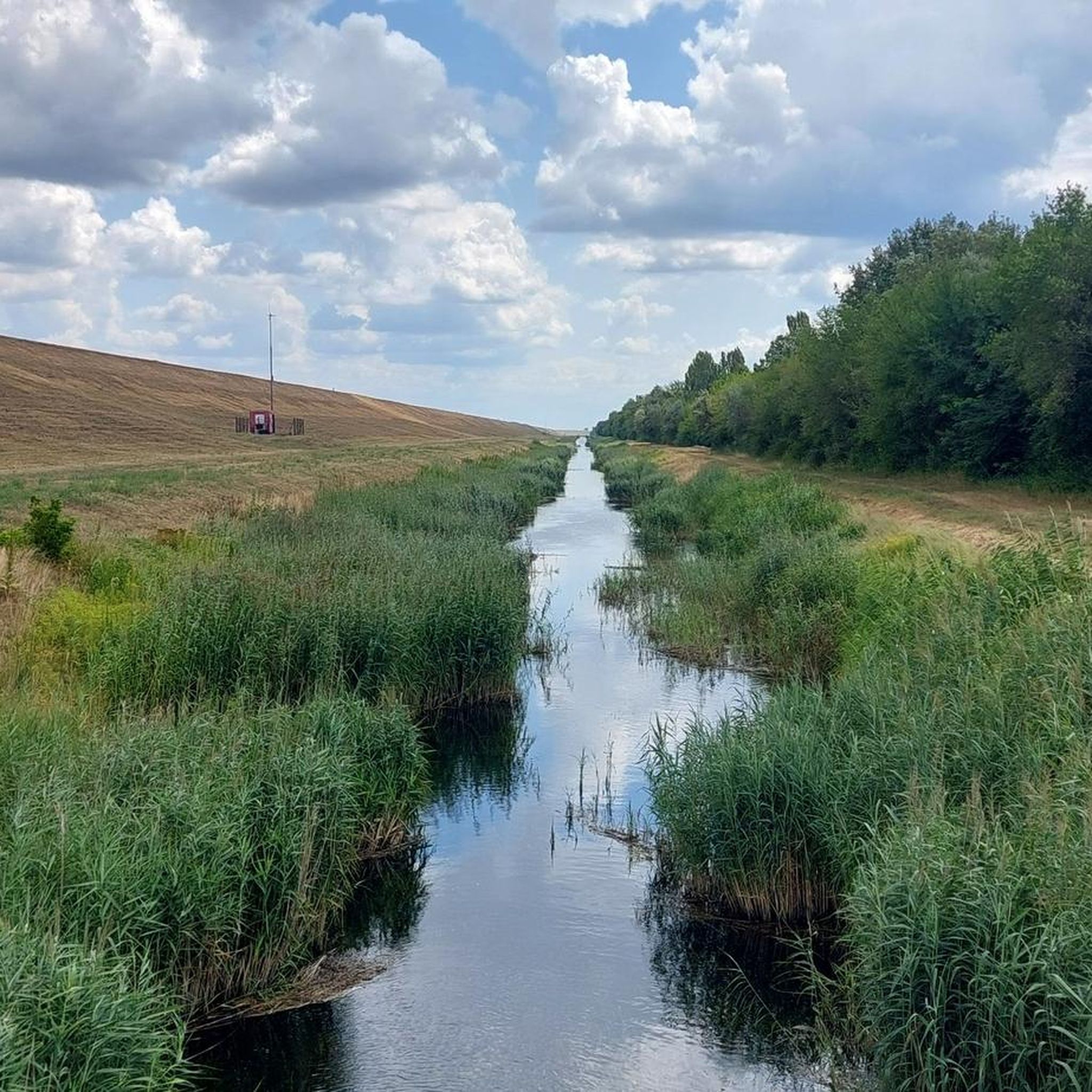
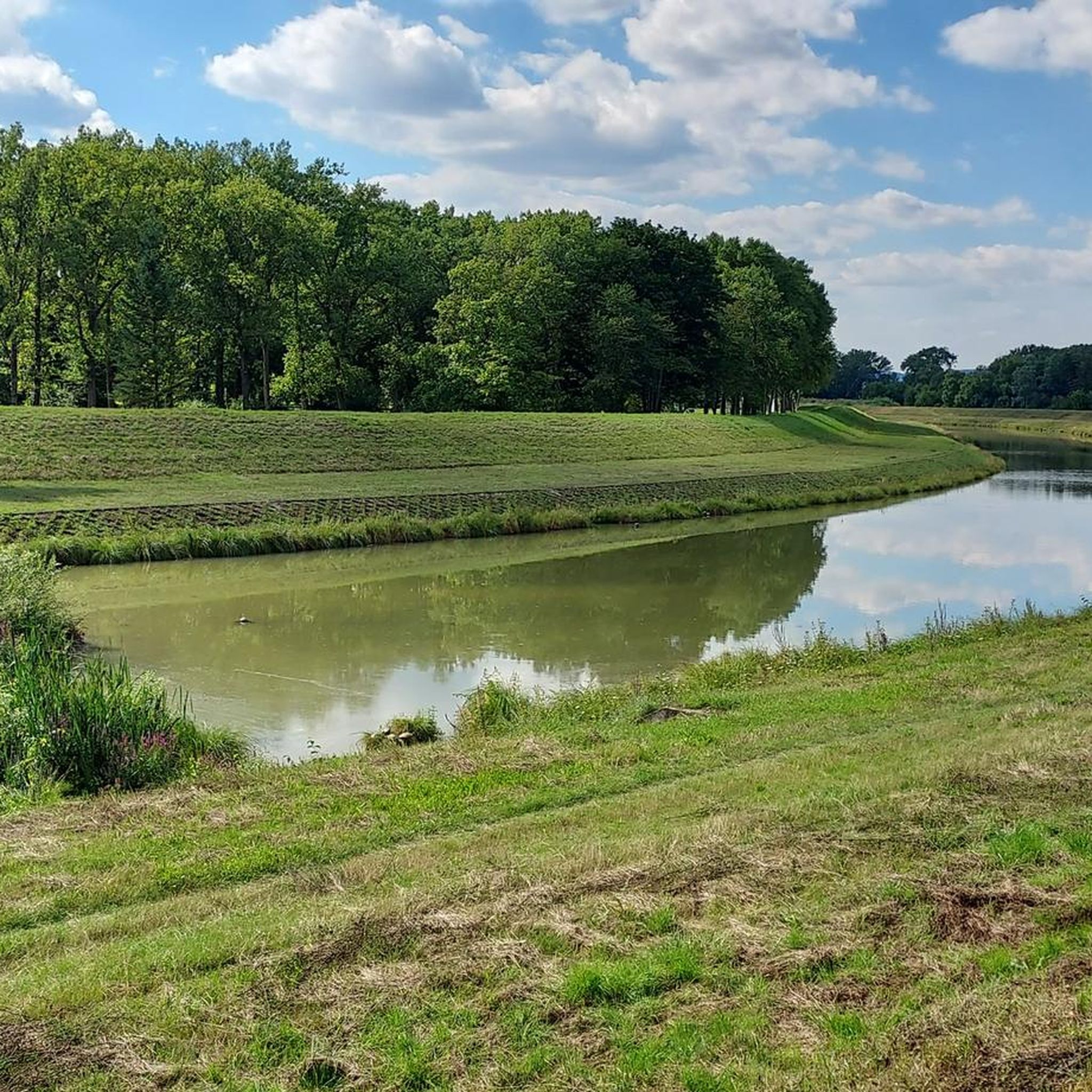
The dam on the Hrudky Stream is a popular spot, especially for fishing. There's also a buffet at the lake.
1
0
Pedestrians and cyclists are allowed to use the path on the dam wall
1
0

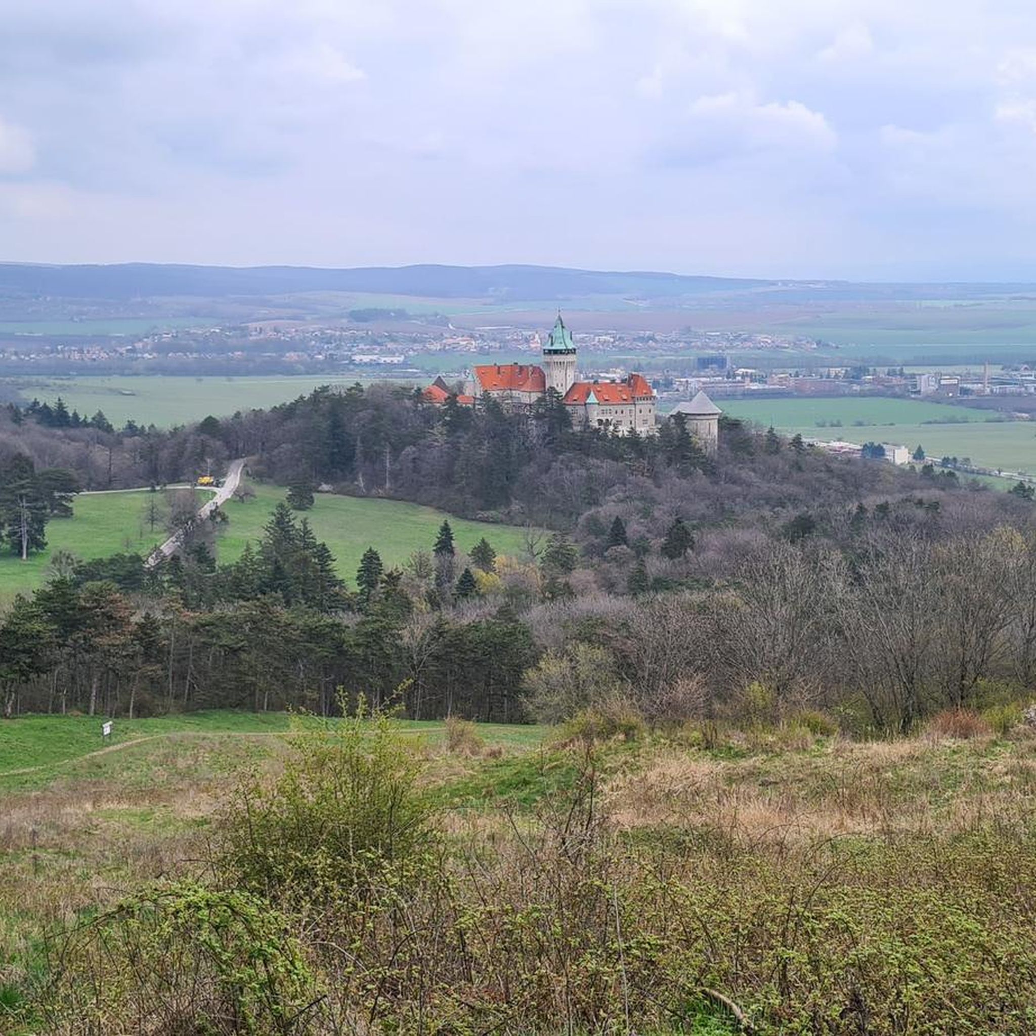
Smolenice Castle is a castle at the eastern foot of the Little Carpathians, north of the municipality of Smolenice in Slovakia. Originally a 14th-century castle, Smolenice Castle served to protect the border passes in the Carpathian Mountains. The castle was also located on the Bohemian Way, a trade route leading from Prague to Saxony.
0
0
トルナヴァでのの人気観光スポット

komootモバイルアプリでインスピレーションを得よう


探していたものは見つかりませんでしたか?
トルナヴァの下にある他のハイキングをチェックして、目的地で完璧なルートを見つけましょう。
