トラヴェンホルストのおすすめツーリングルート
4.5
(1856)
7,166
ライダー
431
ライド
トラヴェンホルストでおすすめのサイクリングルートをお探しですか?行きたいルートを簡単に決められるように、このページではトラヴェンホルスト周辺の人気バイクライドをご紹介します。 ぜひ、お気に入りのルートを見つけてください。
最終更新日: 10月 23, 2026
4.5
(13)
47
ライダー
28.6km
01:48
170m
170m
中程度の自転車ライド. ある程度のフィットネスレベルが必要です。 全般的に舗装された状態です。あらゆるスキルレベルに適しています。
4.7
(6)
26
ライダー
50.1km
03:16
280m
280m
中程度の自転車ライド. ある程度のフィットネスレベルが必要です。 全般的に舗装された状態です。あらゆるスキルレベルに適しています。

4.0
(2)
11
ライダー
46.9km
02:56
260m
260m
中程度の自転車ライド. ある程度のフィットネスレベルが必要です。 全般的に舗装された状態です。あらゆるスキルレベルに適しています。
4.0
(1)
6
ライダー
31.2km
02:12
140m
140m
中程度の自転車ライド. ある程度のフィットネスレベルが必要です。 全般的に舗装された状態です。あらゆるスキルレベルに適しています。
4.5
(2)
10
ライダー
35.9km
02:10
170m
170m
中程度の自転車ライド. ある程度のフィットネスレベルが必要です。 全般的に舗装された状態です。あらゆるスキルレベルに適しています。
さらに多くのルートや他のユーザーのおすすめ情報を確認できます。
すでにアカウントをお持ちですか?
おすすめのツアーは他のkomootユーザーが実際に経験した何千ものアクティビティに基づいています。
無料アカウントで今日から始めよう
次の冒険が待っています。
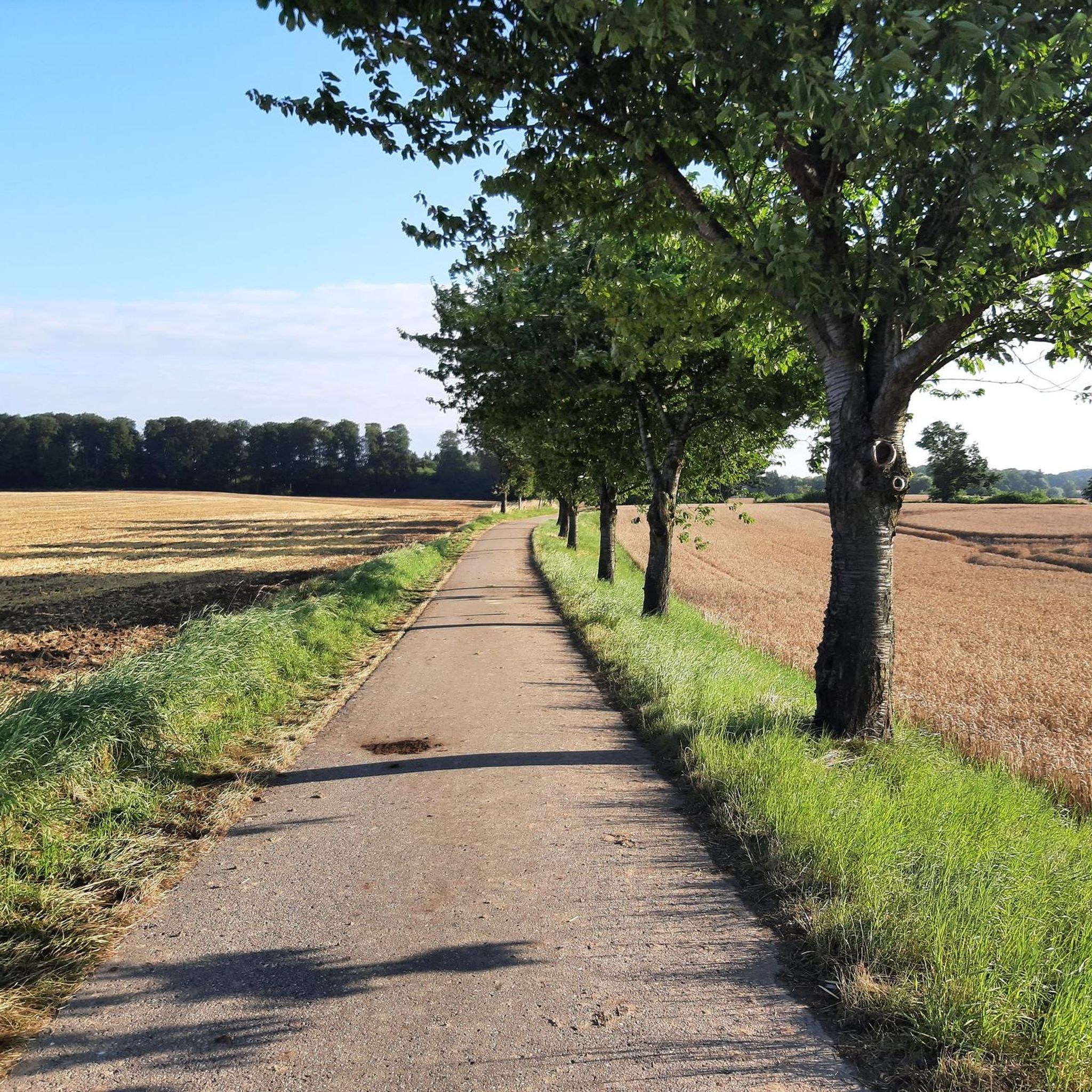
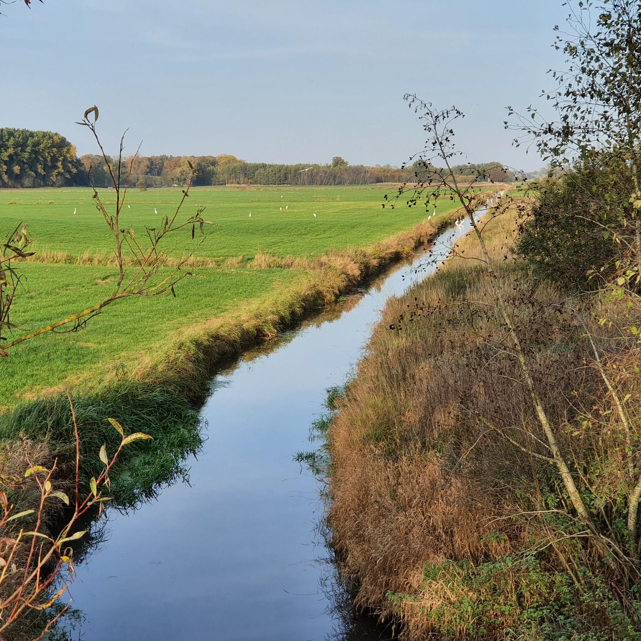
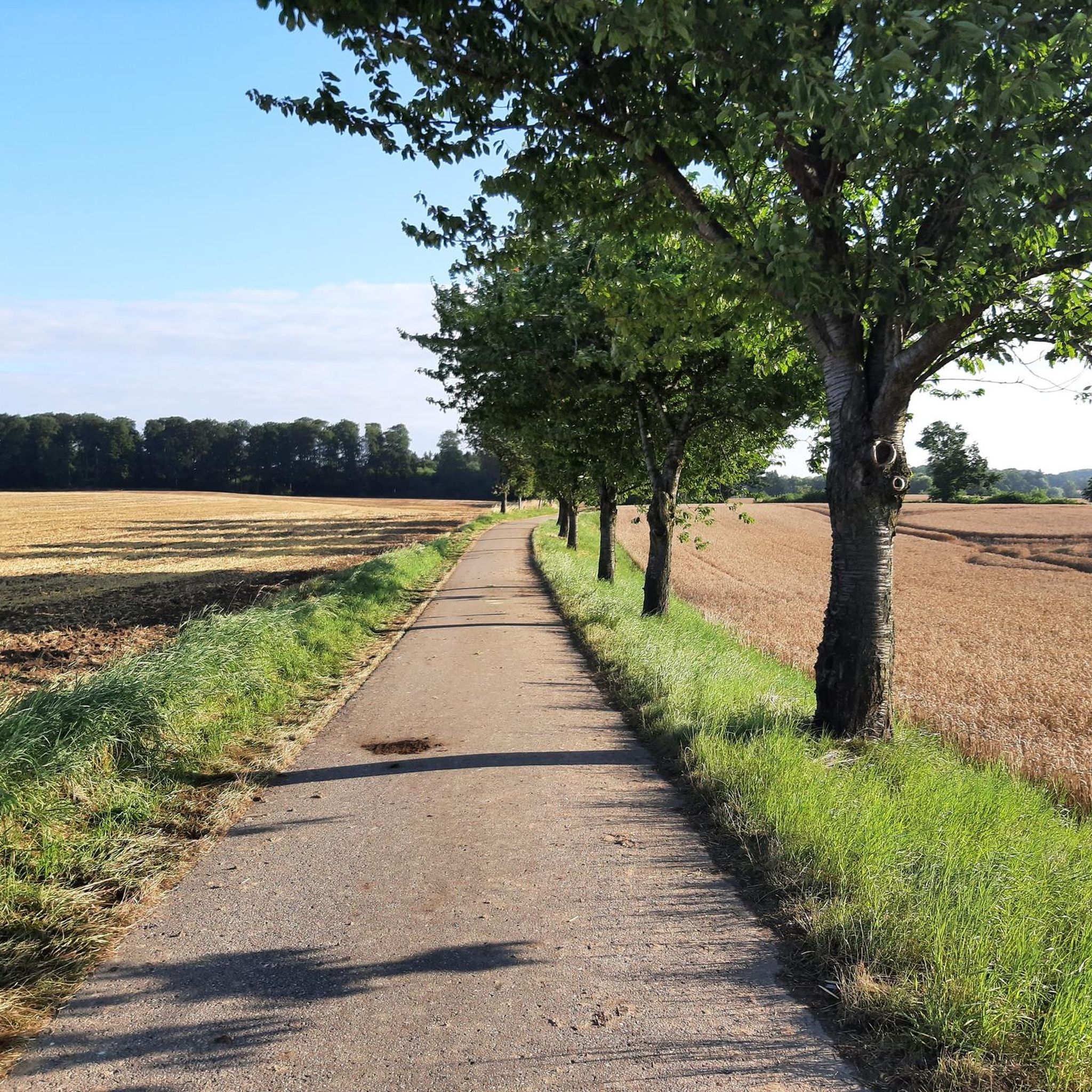


コミュニティからのヒント


ザラウ教会は、シュレースヴィヒ=ホルシュタイン州ゼーゲベルク郡にあるグラザウ自治体の一部であるザラウ村にある教会です。村の西端に、(かつての)教会敷地に囲まれて位置しています。現在、福音ルター派のザラウ教会区によって礼拝に使用されています。
9
0

really very well developed paths!
0
0

Swimming area on the Großer Plöner See (Great Plön Lake) with a sandy beach, playground, and sunbathing lawn. The long, sandy beach is the ideal swimming spot for families. A sunbathing lawn, benches, a hammock, a slide, mini-golf, and a small playground invite you to linger. The water is gently sloping and marked with a non-swimmer's boundary. Shady spots and a jetty into the water are available, as are changing facilities and restrooms.
12
4
The lake was first mentioned in a document in 1075 in a description of the Limes Saxoniae by Adam of Bremen. The village was first mentioned in 1347, when the knight Nikolaus Splyth pledged his estate, including the village of Stocksee, to Reinfeld Monastery. From 1640 to 1649, Stocksee was owned by the noble Brockdorff family. In 1649, Duke Joachim Ernst (Schleswig-Holstein-Sonderburg-Plön), the first Duke of the Duchy of Schleswig-Holstein-Sonderburg-Plön, acquired Stocksee.[6]
6
0
On October 1, 1937, the municipality of Stocksee was merged with the neighboring village of Damsdorf under the name Stocksee. In 1948, the municipal council decided to separate the municipalities again, and this decision was implemented on March 31, 1951.[8][9] In the 1980s, divers found a roughly 700-year-old dugout canoe in the lake, indicating a longer settlement history in the village.
6
0
Today's lake fills a deeply incised glacial tongue basin from the Weichselian glaciation. This basin was formed by the advance of various glaciers, which carved out large basins in the soft soil and deposited the material laterally. This formation resulted in the lake's shores being relatively steep, and the reed beds along the shores are relatively narrow. The lake contains three islands (Großrethberg, Kleine Insel, and Lange Insel) and a peninsula, which, like the shoreline, are predominantly covered in alder swamp forests. In higher elevations, these wetland forests transition into extensively managed beech forests.
7
0
トラヴェンホルストでのの人気観光スポット

komootモバイルアプリでインスピレーションを得よう


さらに探索
他の地域の最高のサイクリングルートを見てみましょう。
