グロース・ニーンドルフのおすすめツーリングルート
4.5
(3475)
13,612
ライダー
676
ライド
サイクリングルートが広がるグロース・ニエンドルフ周辺の景観は、ネーヴァースドルフ湖(Neversdorfer See)をはじめとする数多くの湖や、トラフェ川(Trave)などの河川系によって特徴づけられています。この地域は、勾配の変化が少なく、なだらかな起伏のある地形が特徴で、様々なサイクリストのレベルに適しています。道はしばしば水路に沿って進み、開けた畑や小さな林を通り抜けるため、探検に最適な静かな環境を提供します。このエリアは、自然の水浴場や歴史的な見どころを結ぶルートネットワークを提供しています。
グロース・ニエンドルフ周辺のベストサイクリングルート
- 最も人気のあるサイクリングルートは、レーツェン(Leezen)発の「ベベンゼー水浴場 – ネーヴァースドルフ湖水浴場ループ」(Bebensee Swimming Area – Neversdorfer Lake Bathing Area loop from Leezen)です。このルートは14.0マイル(22.5 km)で、所要時間は1時間19分です。このイージーなルートは、人気の2つの湖水浴場を結んでいます。
- 地元のサイクリストに人気のもう一つのルートは、レーツェン(Leezen)発の「トラフェ川にかかるホルスト橋 – 兵士の橋(FZ Holst)ループ」(Holst Bridge over the Trave – Soldatenbrücke (FZ Holst) loop from Leezen)です。これは12.7マイル(20.4 km)のイージーなルートです。このルートはトラフェ川に沿って進み、周囲の景色を楽しめます。
- 地元のサイクリストに愛されているもう一つのルートは、レーツェン(Leezen)発の「ネーヴァースドルフ湖のアールヴェーア – 廃線ループ」(Aalwehr at Neversdorfer See – Abandoned Railway Track loop from Leezen)です。このルートは21.8マイル(35.1 km)で、かつての鉄道線路を含む変化に富んだ地形を通り抜け、所要時間は約2時間18分です。
- グロース・ニエンドルフ周辺のサイクリングは、平坦な地形、数多くの湖、そして川沿いの道が特徴です。このネットワークは、グロース・ニエンドルフのイージーで家族向けの自転車道から、より中級の距離まで、様々なレベルのサイクリストに対応するオプションを提供しています。
- グロース・ニエンドルフのルートは、komootコミュニティから高く評価されており、2,800件以上のレビューで平均4.5つ星を獲得しています。12,000人以上のサイクリストがkomootを利用して、グロース・ニエンドルフの多様な地形を探索しています。
最終更新日: 10月 8, 2026
4.4
(15)
69
ライダー
22.5km
01:20
110m
110m
初級者向けバイクライド. あらゆるフィットネスレベルに適しています。 全般的に舗装された状態です。あらゆるスキルレベルに適しています。
5.0
(7)
47
ライダー
20.4km
01:20
120m
120m
初級者向けバイクライド. あらゆるフィットネスレベルに適しています。 全般的に舗装された状態です。あらゆるスキルレベルに適しています。

5.0
(7)
35
ライダー
8.49km
00:31
30m
30m
初級者向けバイクライド. あらゆるフィットネスレベルに適しています。 全般的に舗装された状態です。あらゆるスキルレベルに適しています。
4.0
(2)
12
ライダー
25.5km
01:32
60m
60m
初級者向けバイクライド. あらゆるフィットネスレベルに適しています。 全般的に舗装された状態です。あらゆるスキルレベルに適しています。
5.0
(6)
18
ライダー
初級者向けバイクライド. あらゆるフィットネスレベルに適しています。 全般的に舗装された状態です。あらゆるスキルレベルに適しています。
さらに多くのルートや他のユーザーのおすすめ情報を確認できます。
すでにアカウントをお持ちですか?
おすすめのツアーは他のkomootユーザーが実際に経験した何千ものアクティビティに基づいています。
無料アカウントで今日から始めよう
次の冒険が待っています。
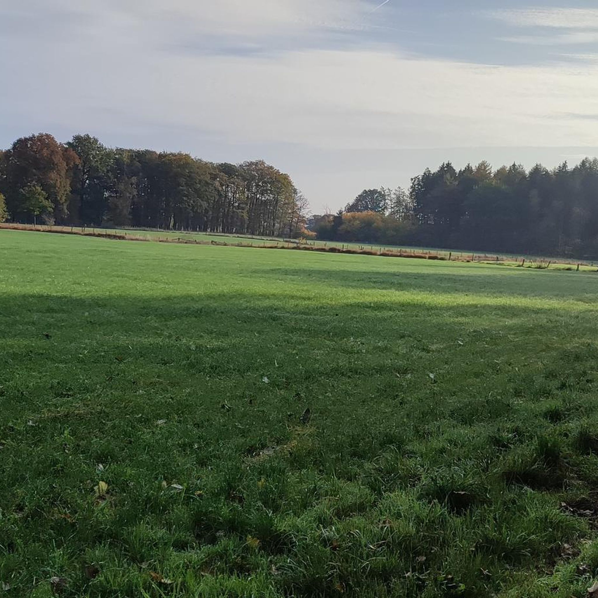
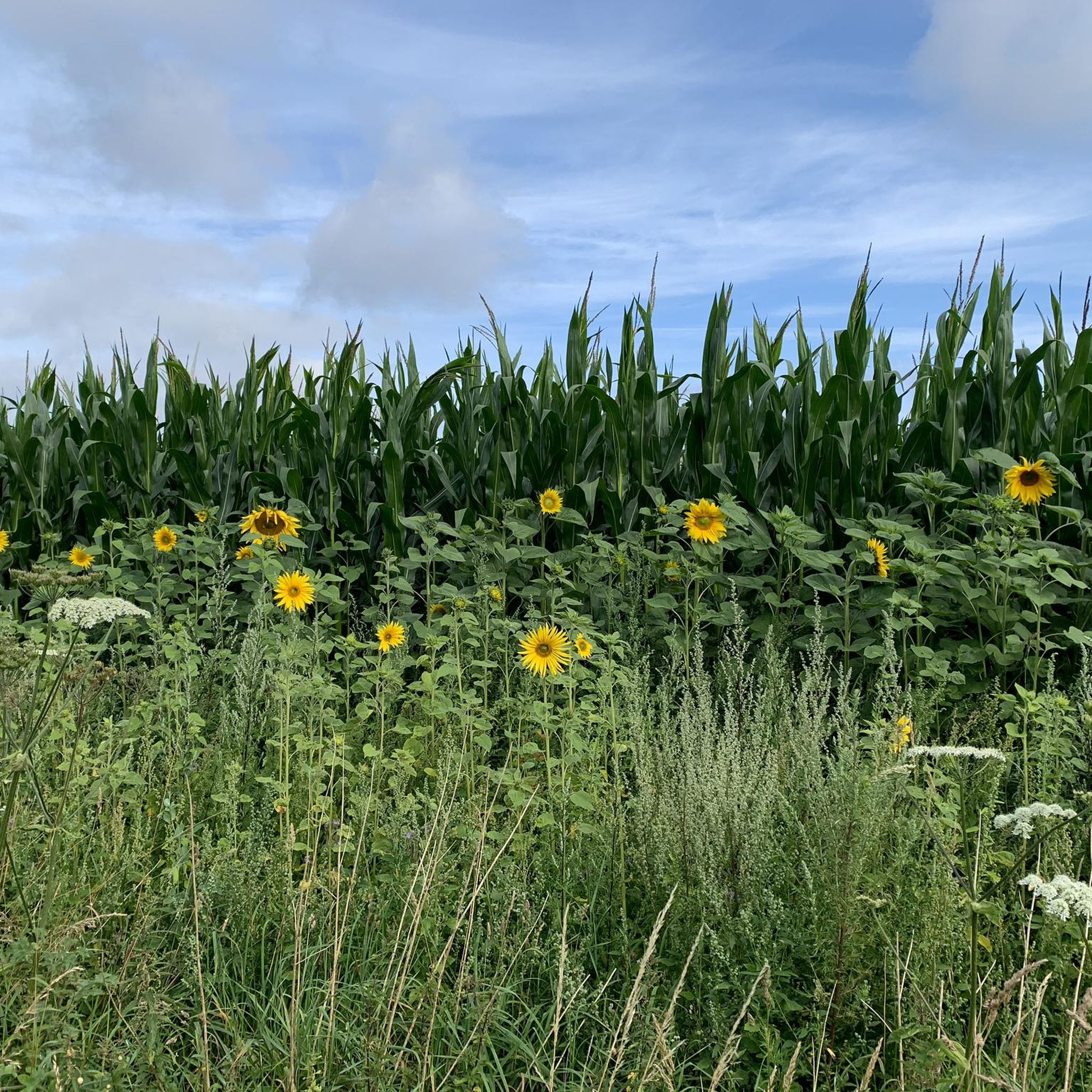
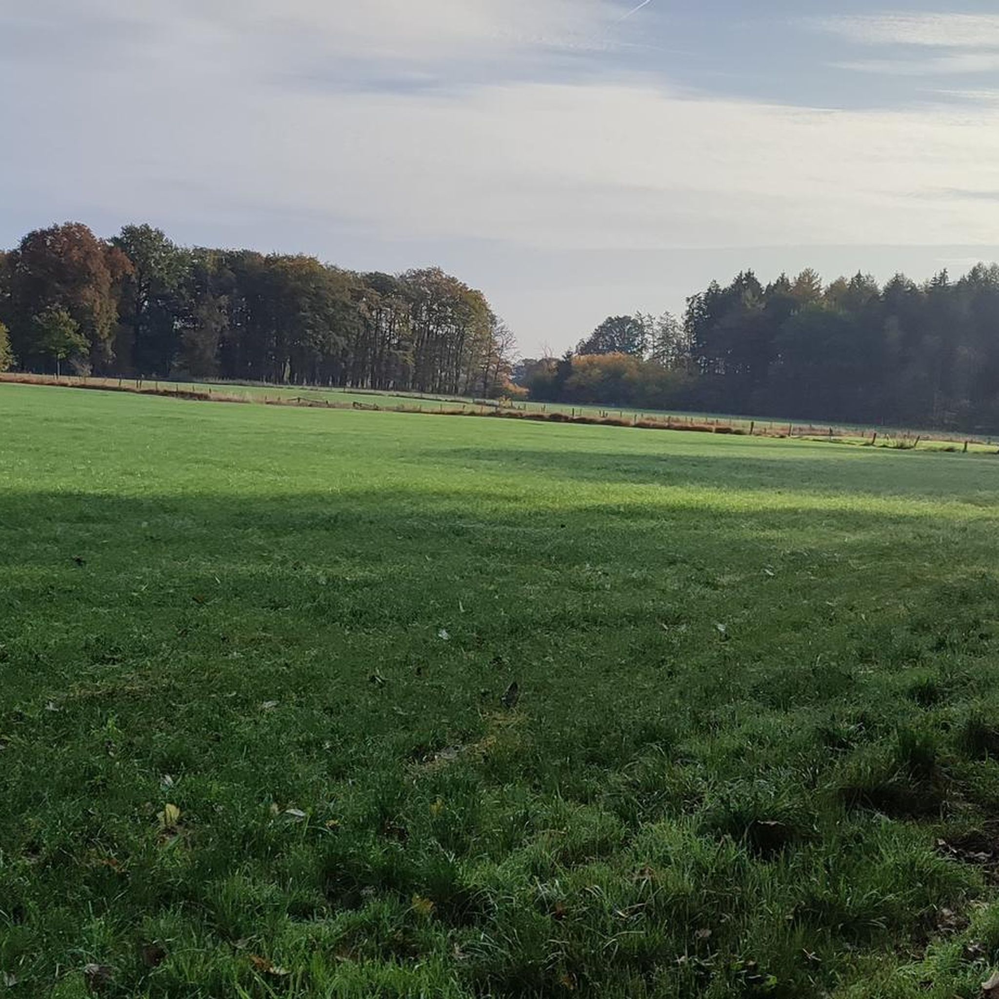
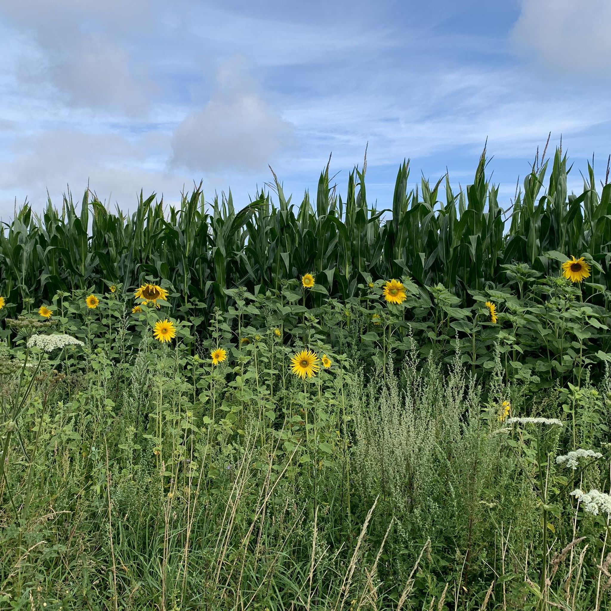

コミュニティからのヒント


時折、古い鉄道施設や施設、例えば積み下ろしランプや古いGrabau駅などを通り過ぎることがあります。
0
0


Opened again in May 2025 after the path was closed in 2018. Pioneers from the Lettow-Vorbeck Barracks built the so-called Soldiers' Bridge in the 1970s. Soldiers used the bridge as a shortcut on their way to the southern part of the city. Today, the bridge is part of the Mönchsweg long-distance hiking trail.
1
0

The Nienwohlder Moor lies on the watershed between the North Sea and the Baltic Sea.[2] It drains to the west into the Lankau, to the south into the Alte Alster, and to the north into the Norderbeste. The nature reserve, which is managed by the Schleswig-Holstein State Hunting Association with the exception of the areas owned by the State Forestry Administration[5],[6] can be almost completely circumnavigated on hiking trails, along which information boards are posted at several locations. In the west, a hiking trail runs through the protected area in the area of the Lunden, a towering moraine ridge.
1
0
Today, typical raised moor vegetation can once again be found in the nature reserve, including round-leaved sundew, narrow-leaved cottongrass, bladderwort, white beak sedge, sedge cottongrass, cranberry, as well as cross-leaved heather, rosemary, and common heather. The nature reserve also represents an important habitat for birds. Various wading birds such as the curlew and the common snipe, as well as ducks such as the shoveler, teal, tufted duck, and garganey, as well as meadow pipits, whinchats, and stonechats, are native here. Marsh harriers and short-eared owls can also be found here. The undisturbed moorland is a refuge for cranes, which are now breeding here again. Various woodpecker species, red-backed shrikes, and songbirds are native to the wooded moorland areas. The nature reserve also provides a habitat for various amphibians and reptiles, as well as insects such as dragonflies and butterflies.
1
0
The moor was renaturalized in the 1980s through rewetting measures.[2][3] Today, in the area of former industrial use, it is an open raised bog with numerous water-filled peat pits, surrounded by a bog forest. The farmer's hand-cut peat pits at the edge of the moor are often water-filled. Sphagnum moss quaking grassland grows here, and the peat pits are slowly silting up. Further areas are occupied by grassland and forest. Some of the grassland is extensively grazed by robust cattle.[4] Some areas are still intensively used for agriculture, including one arable area.
1
0
グロース・ニーンドルフでのの人気観光スポット

komootモバイルアプリでインスピレーションを得よう


さらに探索
他の地域の最高のサイクリングルートを見てみましょう。
