ルッザーラのおすすめウォーキング&ハイキングルート
4.3
(90)
600
ハイカー
85
ハイキング
ルッザーラ周辺でのハイキングは、景色を満喫するのに最適な手段のひとつですが、適切なハイキングルートを見つけることは簡単ではありません。 ルッザーラ周辺の人気ハイキング&ウォーキングコースを参考にすれば、行きたいルートをすぐに見つけられます。
最終更新日: 11月 1, 2026
3.0
(1)
14
ハイカー
8.54km
02:09
10m
10m
中程度のハイキング. ある程度のフィットネスレベルが必要です。 歩きやすい道です。
4.5
(6)
6
ハイカー
9.81km
02:29
20m
20m
中程度のハイキング. ある程度のフィットネスレベルが必要です。 歩きやすい道です。

8
ハイカー
3.37km
00:51
10m
10m
初級者向けハイキング. 歩きやすい道です。
さらに多くのルートや他のユーザーのおすすめ情報を確認できます。
すでにアカウントをお持ちですか?
おすすめのツアーは他のkomootユーザーが実際に経験した何千ものアクティビティに基づいています。
無料アカウントで今日から始めよう
次の冒険が待っています。

コミュニティからのヒント

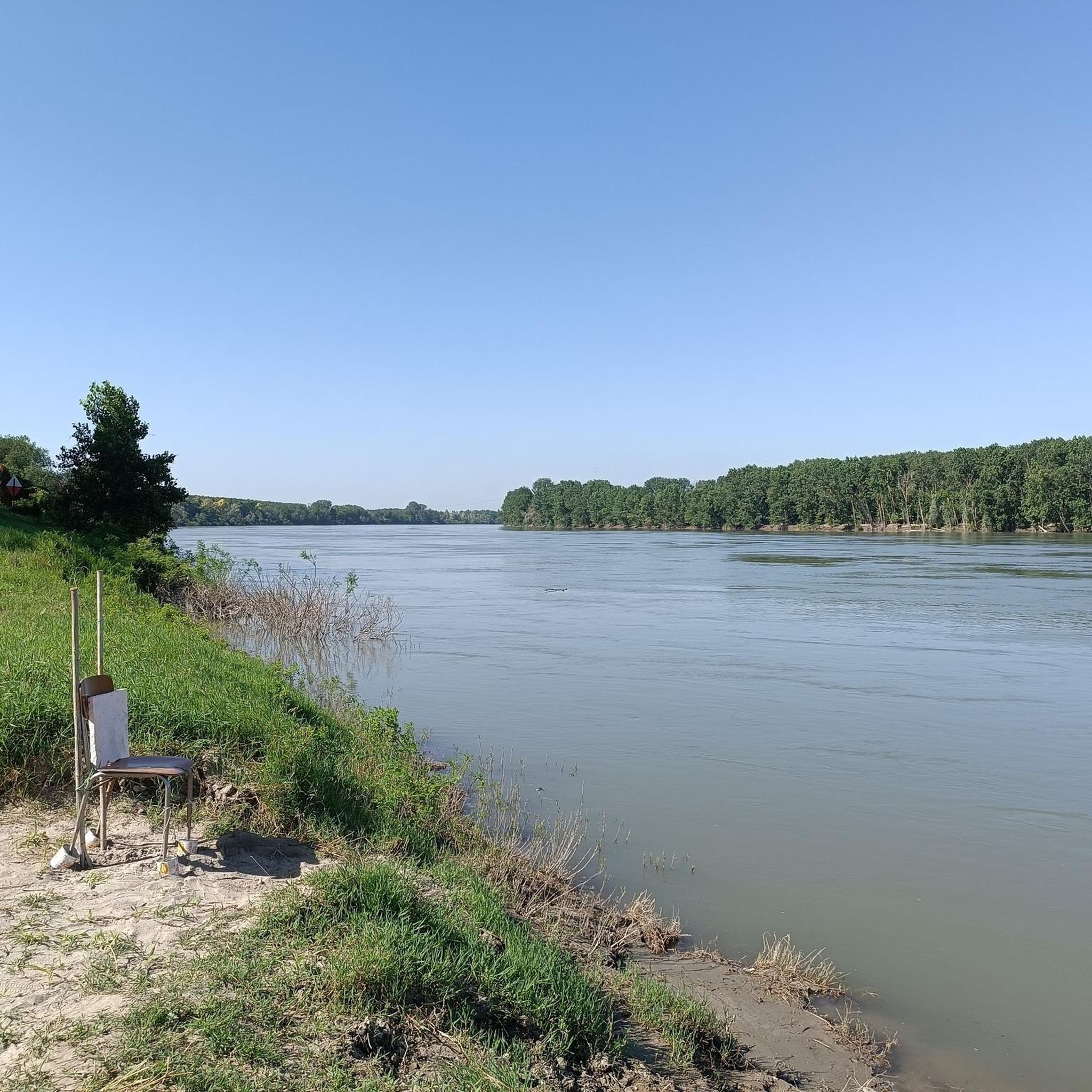
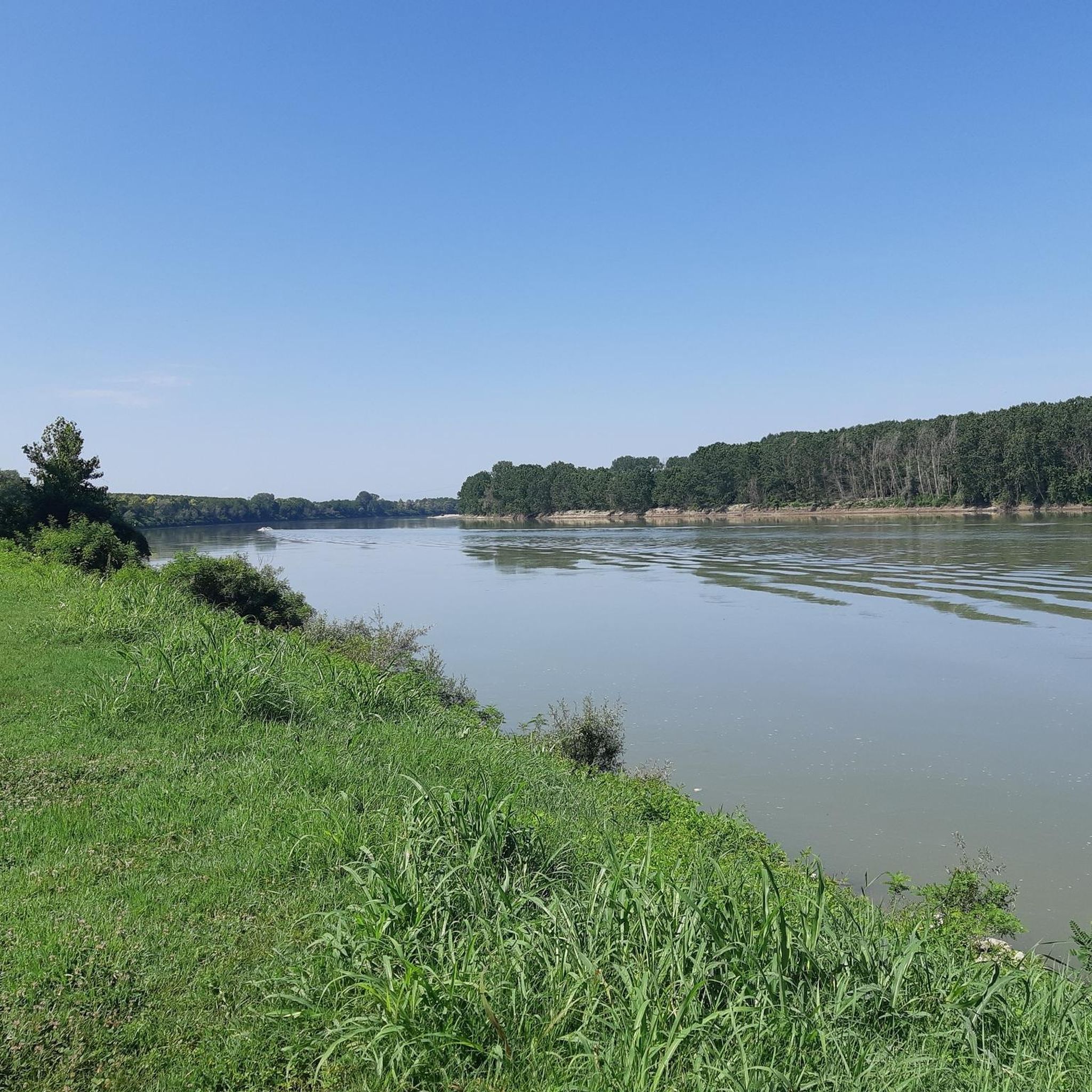
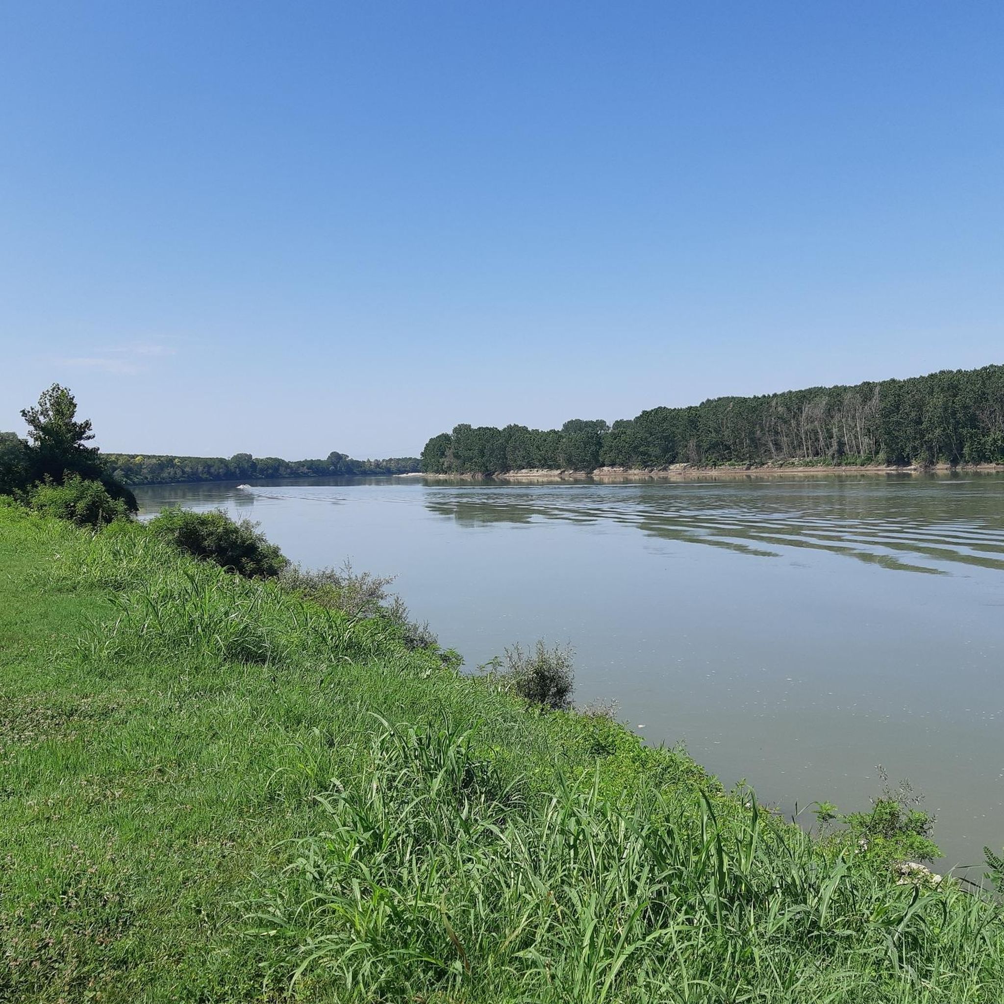
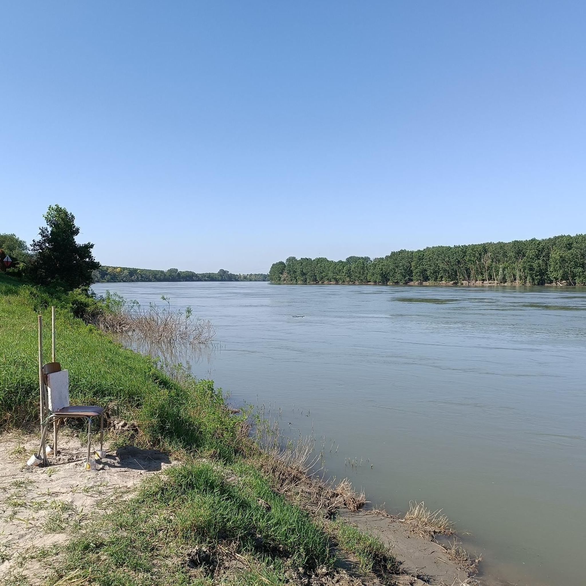
ポー川はイタリアで最も長く重要な川で、全長652キロメートルにわたり、ポー平野を西から東へ横断しています。国内で最も広い流域面積(約71,000平方キロメートル)を持ち、河口での流量も最大です。
0
0

Great, simple Osteria located directly on the Po cycle path. Be sure to plan a stop, very cheap. Nice terrace with a view of the Po
0
0

The Majesty of the roads, built precisely along the communication routes, were once a point of reference for wayfarers, pilgrims and the inhabitants of a town. Placed at passes or crossroads, close to bridges or at the height of fords, the Maestà became reference coordinates in long and difficult journeys; if located on impervious and isolated roads they ensured divine protection. Their construction was also supported by the need to protect crops, so linked to atmospheric agents.
3
0

to do in company
1
0

The floating houses on the Po in Riva di Suzzara, near the park of San Colombano.
1
0

A nice up and down in the woods
2
0

suggestive scenery of houseboats.
1
0

ルッザーラでのの人気観光スポット

komootモバイルアプリでインスピレーションを得よう


さらに探索
他の地域の最高のハイキングを見てみましょう。
