ジェモーニオのおすすめウォーキング&ハイキングルート
4.2
(6438)
28,997
ハイカー
591
ハイキング
ジェモーニオ周辺でのハイキングは、景色を満喫するのに最適な手段のひとつですが、適切なハイキングルートを見つけることは簡単ではありません。 ジェモーニオ周辺の人気ハイキング&ウォーキングコースを参考にすれば、行きたいルートをすぐに見つけられます。
最終更新日: 10月 18, 2026
4.3
(47)
144
ハイカー
10.1km
03:52
690m
690m
Embark on a moderate hike from Cerro to the fort of Orino, a loop tour that spans 6.3 miles (10.1 km) and involves a significant elevation gain of 2248 feet…
5.0
(1)
4
ハイカー
11.8km
04:32
830m
830m
Hike the Anulare Valcuviano Trail to Monte Nudo, a moderate 7.4-mile route with 2708 feet of gain, offering panoramic views in Lombardy.

8.99km
02:30
170m
170m
Historic CAI trail linking medieval churches and limestone sanctuaries with valley views from rocky outcrops.
20.1km
05:55
550m
550m
Forest trail following the Boesio valley to Lake Maggiore via a magical mirrored peat bog.
4.8
(39)
103
ハイカー
10.6km
02:46
90m
90m
中程度のハイキング. ある程度のフィットネスレベルが必要です。 歩きやすい道です。
さらに多くのルートや他のユーザーのおすすめ情報を確認できます。
すでにアカウントをお持ちですか?
おすすめのツアーは他のkomootユーザーが実際に経験した何千ものアクティビティに基づいています。
無料アカウントで今日から始めよう
次の冒険が待っています。
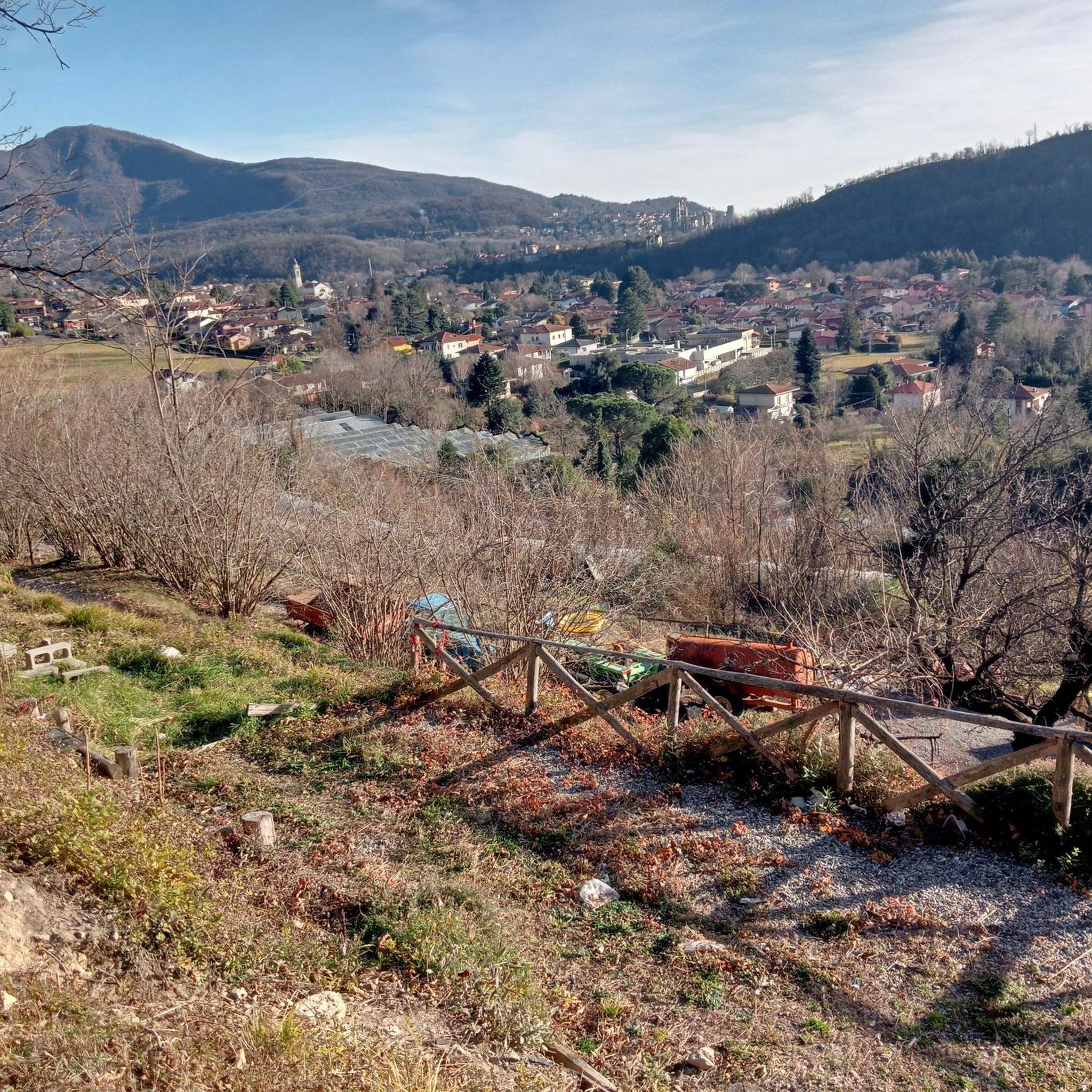
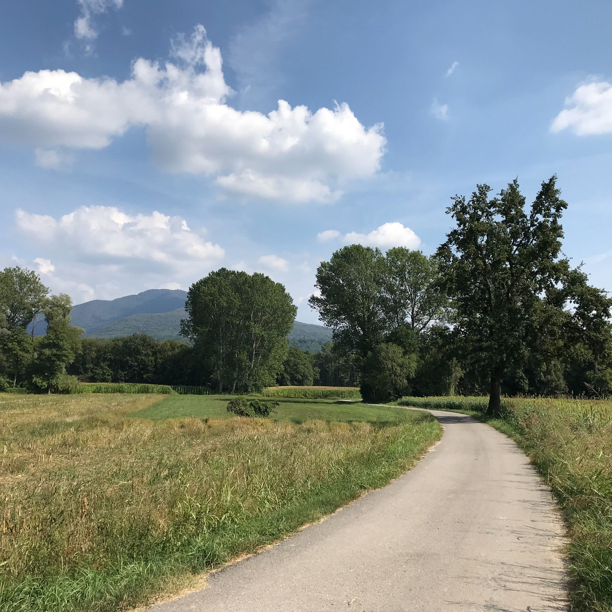
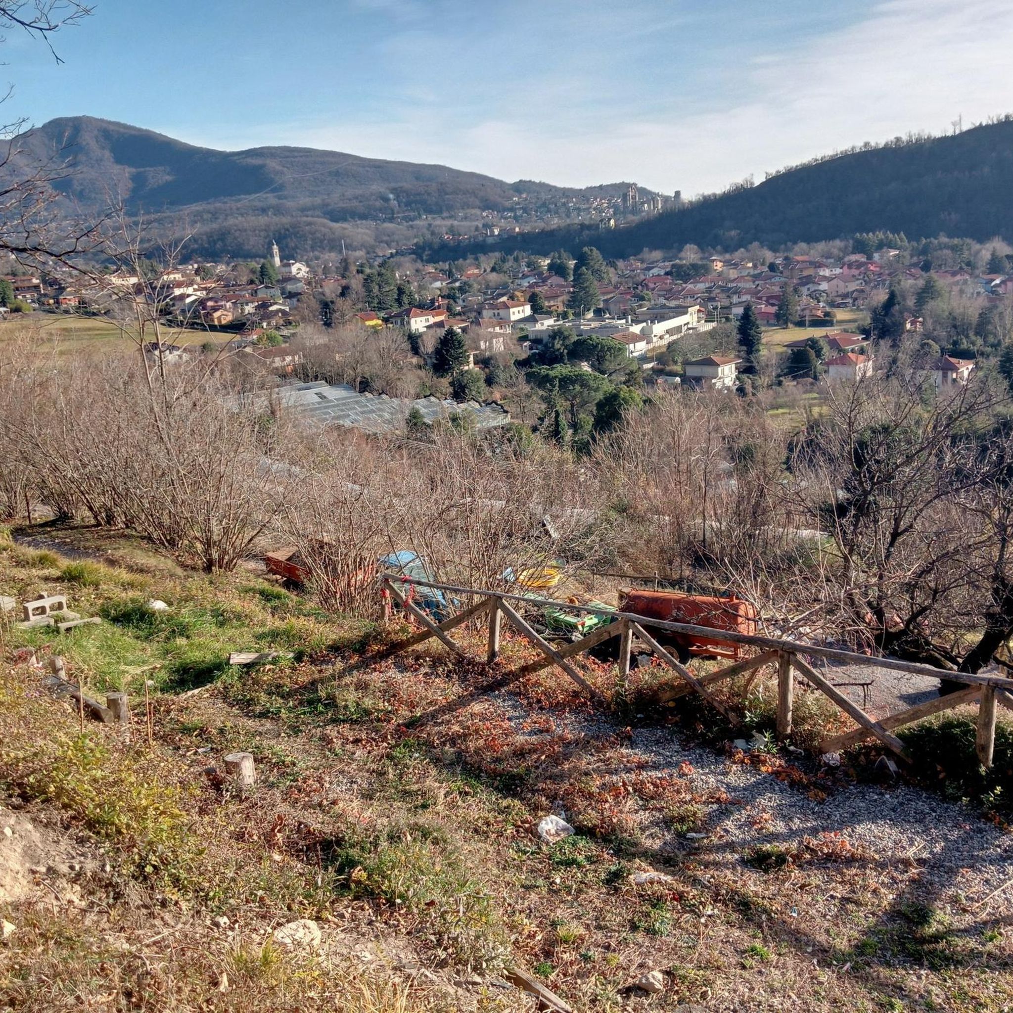
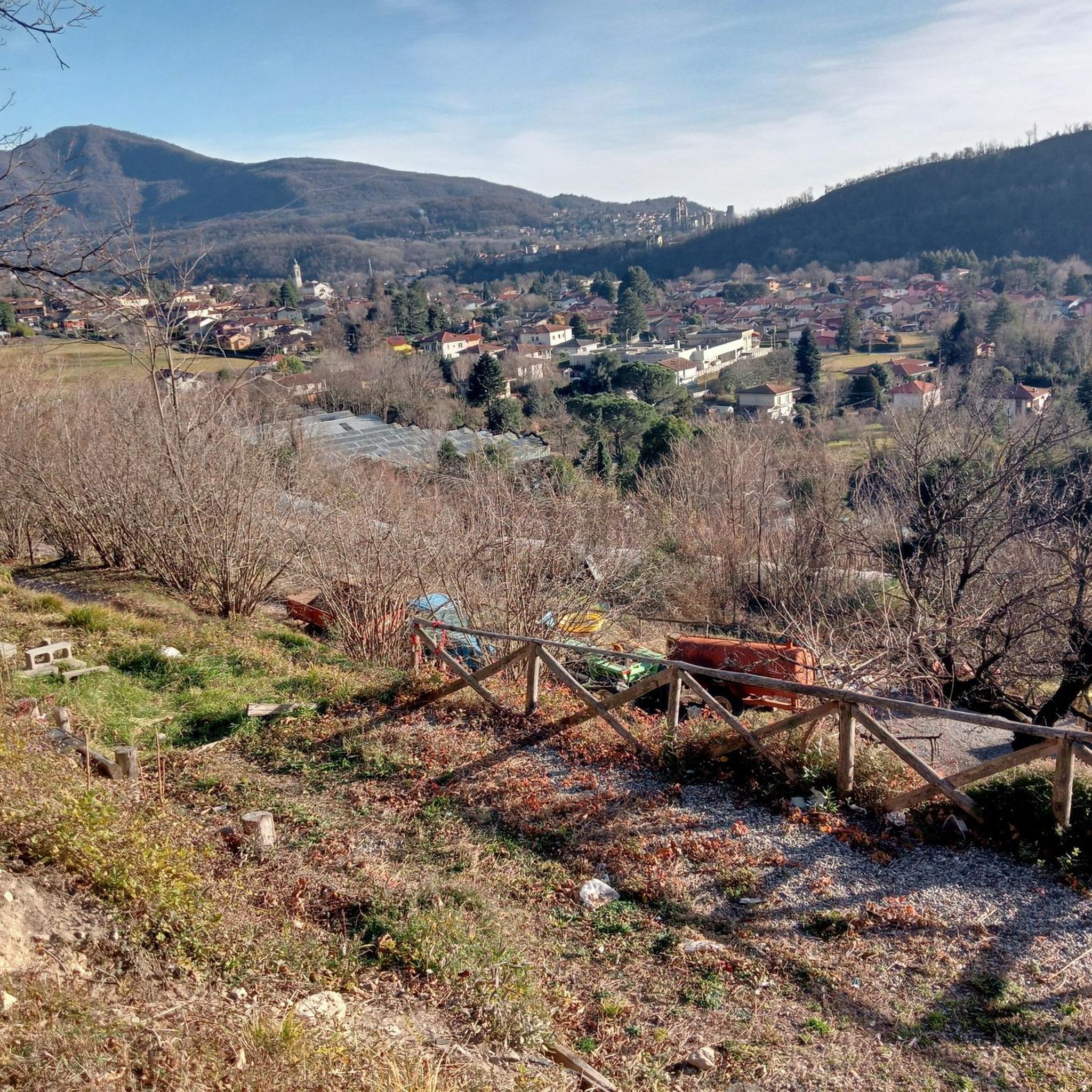
コミュニティからのヒント

散歩したり、アイスクリームを楽しんだり、ピザ屋さんに立ち寄ったりするのに最適です!😍 車の有無にかかわらず、Verbaniaへのフェリーでの移動もおすすめです 🛳️
0
0

Beautiful Gulf of Lake Maggiore. A trip to Sasso del Ferro is possible via a barrel lift (!). A ferry takes you to the other side of the lake (Piedmont). Many cycling tours are possible from Laveno, e.g. to the Laghi di Varese, Monate, and Comabbio.
0
0

Nice place for walking and to take the ferry.
0
0

Laveno-Mombello on Lake Maggiore A remarkable municipality on the eastern shore of Lake Maggiore, Laveno-Mombello, with its kilometer-long promenade, is located on the lake's only natural harbor. In this vacation paradise, you have arrived in Lombardy. Set your sights on the place where the Torrente Boesia flows into Lake Maggiore. Laveno-Mombello may be home to few major attractions, but this small town is nevertheless particularly charming. Let your gaze wander over the central part of Lake Maggiore, to the Borromean Islands, the Pennine Alps, and the Monte Rosa massif. Breathe in the historic atmosphere. Laveno played an important role in Lake Maggiore's past. Text / Source: Lagomaggiore.de https://www.lagomaggiore.de/staedte/laveno-mombello
14
0

challenging trail with steep slope
0
0

Located in Caravate, it is easily accessible by a slightly sloping uphill road. The facade of the church is the only part left of the sixteenth-century building. From the square there is a beautiful open view of the territory below.
0
0


Diversion for direct route on Brenta
0
0

komootモバイルアプリでインスピレーションを得よう


さらに探索
他の地域の最高のハイキングを見てみましょう。
