ルート

プランナー

機能

アップデート

App

ログインまたはサインアップ

アプリを入手

ログインまたはサインアップ

ルート
ハイキング
イタリア
ロンバルディア
ヴァレーゼ

ヴァルガンナ

ヴァルガンナのおすすめウォーキング&ハイキングルート

4.3

(1100)

5,894

ハイカー

38

ハイキング

ヴァルガンナ周辺でのハイキングは、景色を満喫するのに最適な手段のひとつですが、適切なハイキングルートを見つけることは簡単ではありません。 ヴァルガンナ周辺の人気ハイキング&ウォーキングコースを参考にすれば、行きたいルートをすぐに見つけられます。

最終更新日: 7月 20, 2026

4.4

(19)

116

ハイカー

#1.

ポンチオーネ・ディ・ガンナ - 環状ツアー

2.48km

01:09

160m

160m

Hike the difficult 1.5-mile Via Verde Varesina: Stage 1 to Poncione di Ganna, gaining 526 feet for rewarding summit views.

デバイスでナビ

スマートフォンに送信

保存

難しい

Embark on the Monte Martica e Monte Muraccio loop tour, a moderate to hard hike in the Lombardy region's Varese Prealps. This route, covering 5.6 miles (8.9 km) with a significant 1773 feet (540 metres) of elevation gain, typically takes around 3 hours and 38 minutes to complete. You will traverse dense mixed woodlands, including beech and pine forests, and encounter rugged terrain with old cobbled military roads and steep, exposed rock formations, leading to a panoramic rock near Monte Martica's summit adorned with a cross and summit book. From various viewpoints, you can enjoy sweeping vistas of the Po Plain, Lago Maggiore, and other surrounding lakes, with distant glimpses of Monte Rosa and the Vallesane Alps on clear days.

Planning your visit requires a good level of fitness and sure-footedness for this challenging route. Appropriate hiking footwear and weather-appropriate clothing are essential due to the varied and sometimes demanding terrain. Be prepared for steep ascents and sections that may be unpaved and difficult. While the research does not specify trailhead access or parking details, ensuring you are well-equipped will make your experience more enjoyable.

Beyond its natural beauty, the trail offers a glimpse into history with extensive World War I fortifications, part of the "Linea Cadorna," including fortified squares and artillery posts on Monte Martica. You can also discover the abandoned Valvassera Mines and the lesser-known Valvassera Falls, reachable by a short walk in the riverbed. This blend of natural scenery and historical significance makes the Monte Martica e Monte Muraccio loop a unique and rewarding adventure.

中程度
guide_signup
私たちがkomootモバイルアプリで道を示します
無料の komoot アカウントがあれば、無限のアウトドアコースを簡単に見つけてカスタマイズし、ナビで案内できます。

無料新規登録

Embark on the From Ganna to Birnzio Lake – loop tour, a moderate hike that connects two picturesque lakes and offers diverse terrain. You will navigate natural, unpaved sections, as well as asphalt, gravel, and cobbled roads, including a challenging ascent up the northern slopes of Monte Martica. This 9.8-mile (15.8 km) route features 1405 feet (428 metres) of elevation gain and typically takes about 4 hours and 46 minutes to complete, requiring good fitness and sure-footedness.

As you plan your visit, note that the trail is classified as SAC 2-3, indicating its moderate difficulty. The route starts near the historic Abbey of San Gemolo in Ganna. You will find a large picnic area near Brinzio with tables and benches, perfect for a mid-hike break. The trail winds through the Campo dei Fiori Regional Park, ensuring a natural and protected environment for your adventure.

This loop tour highlights the natural beauty and cultural significance of the region, passing through areas like the Valicci alpine pasture with its well-managed beech woods and traditional chalets. You will discover Lake Brinzio, often called the “Whale Lake” due to a local legend, and can admire the Pesegh Waterfall from both above and below. The trail also features charming cobbled streets in the classic “rizzada” style, especially around Brinzio, adding a touch of traditional character to your hike.

中程度

4.3

(9)

53

ハイカー

難しいハイキング. ある程度のフィットネスレベルが必要です。 安定して歩行できる技術、丈夫な靴、高標高地での登山経験が必要です。

難しい

Hike the Panorama on Valganna and Lago di Ghirla loop tour for moderate terrain, panoramic views, and historical insights.

中程度
無料新規登録すると、ヴァルガンナでのでのハイキングをさらに34件ご覧いただけます。

さらに多くのルートや他のユーザーのおすすめ情報を確認できます。

無料新規登録

すでにアカウントをお持ちですか?

おすすめのツアーは他のkomootユーザーが実際に経験した何千ものアクティビティに基づいています。

無料アカウントで今日から始めよう

次の冒険が待っています。
ログインまたは登録

ヴァルガンナ周辺で人気

ヴァルガンナのMTBトレイル

ヴァルガンナでのサイクリング

ヴァルガンナのロードバイクルート

ヴァルガンナのランニングコース

ヴァルガンナでののグラベルライド

コミュニティからのヒント

Jthecat
7月 24, 2026, Monte Piambello

注意。クアッソ・アル・モンテから廃病院、旧サナトリウムに向かって下ると、巨大な乗り越えられないゲートで行き止まりになります。建物の左側に小道があるようです。ゲートのすぐ手前、壁(階段があります)に登り、20メートルほど進むと、この障害物を回避できます。特に自転車をお持ちの場合は、イバラと転倒に注意してください。

Google翻訳による翻訳

0

0

Cadorna line

Google翻訳による翻訳

0

0

Cadorna line

Google翻訳による翻訳

0

0

View your Monte Rosa

Google翻訳による翻訳

0

0

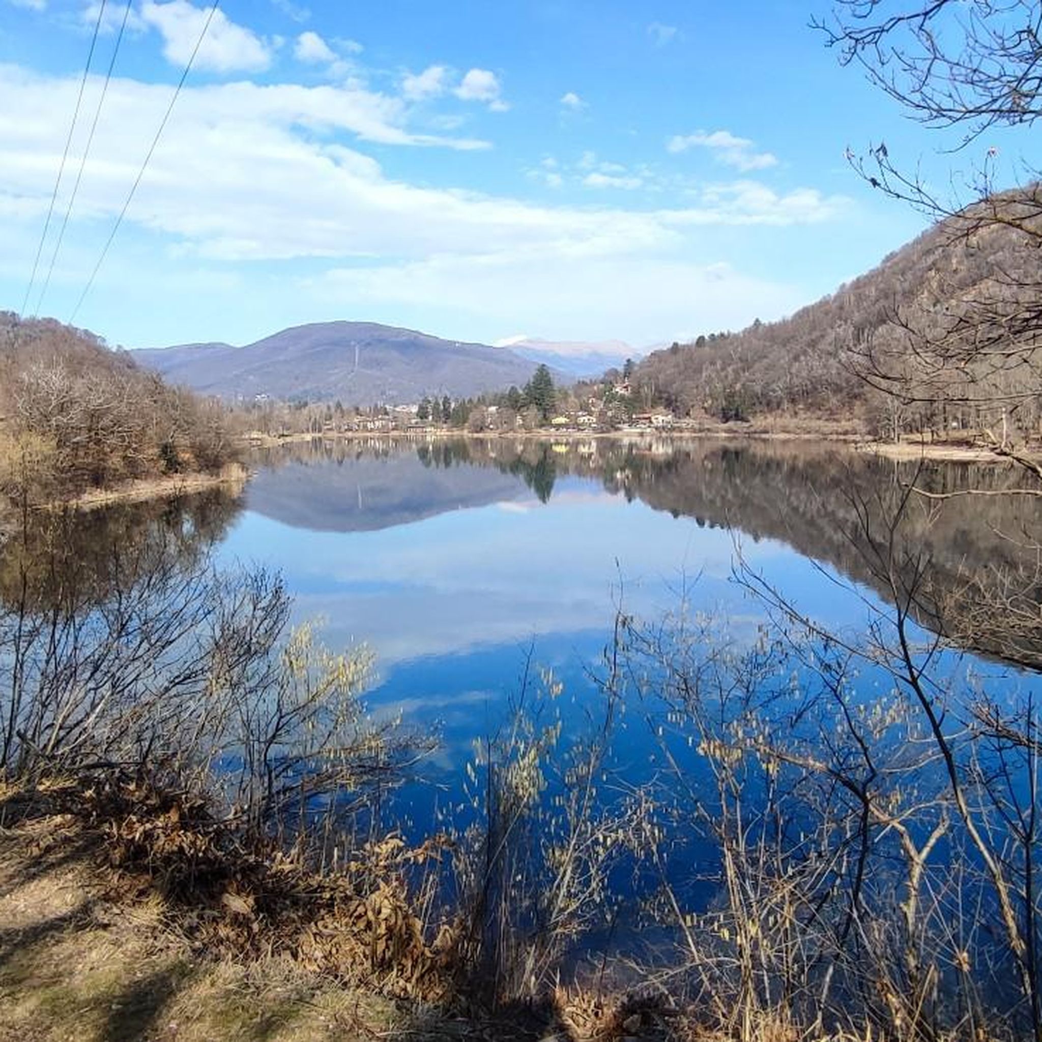
The Brizio lake is a small natural basin surrounded by nature. Near the banks, not far from the beach, there are benches perfect for resting during the walk.

Google翻訳による翻訳

1

0

In the woods not far from Brinzio there is this large picnic area equipped with tables and benches where you can stop for a break from the walk.

Google翻訳による翻訳

1

0

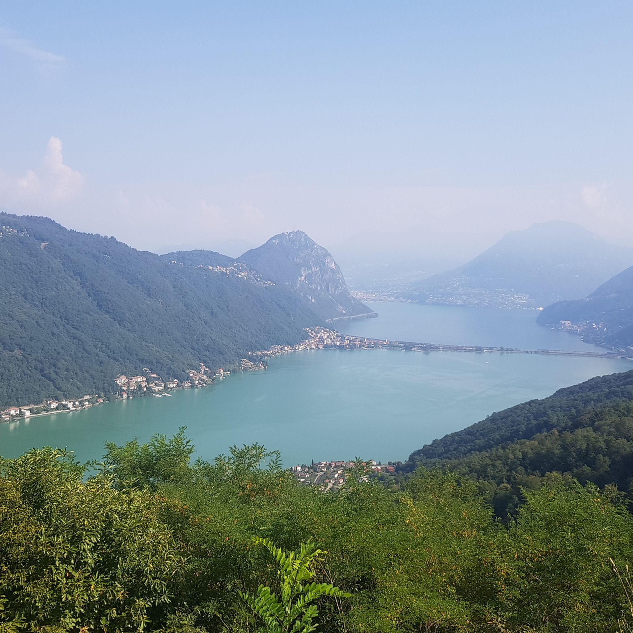
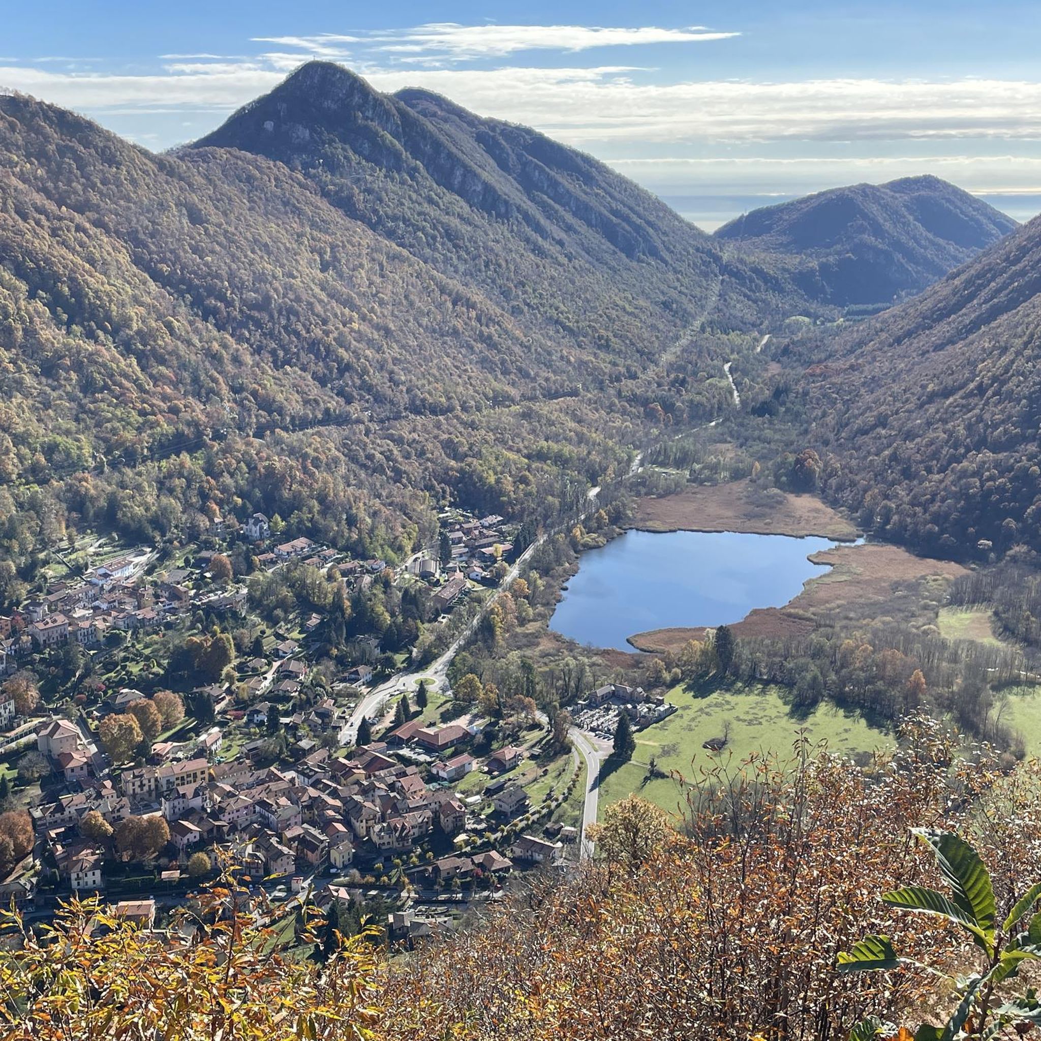
Wonderful panoramic point over the Valganna and the small Lake Ghirla.

Google翻訳による翻訳

0

0

A 1032m mountain well known among hikers and MTBikers. It can be reached via a loose dirt road which requires a good bike such as a gravel or a touring/trekking bike well equipped with excellent dirt tyres, otherwise it is better to avoid it. On its side there is a former porphyry quarry, the woods and the view certainly repay the challenge of the climb.

Google翻訳による翻訳

1

0

ヴァルガンナでのの人気ルート

ヴァルガンナのMTBトレイル

ヴァルガンナでのの人気観光スポット

Places to see

Store rating

komootモバイルアプリでインスピレーションを得よう

無料のkomootアカウントがあれば、無限のアウトドアコースを簡単に見つけてカスタマイズし、ナビで案内できます。

または

今すぐkomootに参加しよう

Store rating

さらに探索

他の地域の最高のハイキングを見てみましょう。

パルコリージョナルカンポデイフィオリチッティーリオマッカーニョコンピノEヴェダスカヴァレーゼ湖クアッソアルモンテクーヴィオブリッサーゴヴァルトラヴァリアバルデッロビズスキオバラッソクリーリアコンモンテビアスコアッツィオドゥメンツァクリアーテファビアスコベザーノCadegliano-Viconagoパルコナチュラーレデルカンポデイフィオリルイノカザーレ・リッタデュノグラントラクナルドダヴェリオガヴィラーテカルデメルカッロコマッビオ湖ランコヴェルジャーテRiserva Naturale Palude BrabbiaブルジンピアーノヴェネゴーノインフェリオアクヴェーリオイナルツォクレメナーガカラヴァーテブグッジャーテParco Del Golfo Della Quassaロナーテ・チェッピーノメゼンツァーナマシアゴプリモポルトヴァルトラヴァーリアアンジェーララヴェーノ・モンベッロブリンツィオフェッレーラ・ディ・ヴァレーゼカヴァーリアコンプレメッツォサルトリオジェルミニャーガインドゥーノオローナガリアーテロンバルドジェラゴコンオラゴオリノソンマロンバルドアルチザーテヴィッジュトラダーテイスプラカッサーノ・ヴァルクヴィアジェモーニオLozzaカステルセプリオロナーテ・ポッツォロデリオ湖ギルラ湖ポルト・チェレージオパルコルラカシャーゴベズナーテマルナーテクリーヴィオヴィッツォーラティチノトロンツァーノラーゴマッジョーレカッツァーゴブラビアブレンタセスト・カレンデカンテッロカイラーテフェルノベゾッツォパルコ・リル・テノーレ・オロナモンテグリーノヴァルトラヴァリアテルナテカストロンノマルキローロヴェネゴーノスーペリアParco naturale della Pineta di Appiano Gentile e TradateクロージオデッラヴァッレコックイオトレビサゴオッジョーナコンサントステファノアグラブレッツォディベデロレッジューノカゾラーテセンピオーネブレッビアカルダーノアルカンポコメリオラヴェーナポンテトレサルヴィナーテスミラーゴカドレッツァーテゴラセッカチズラーゴパルコデルメディオオローナオリッジョヴェダーノオロナサンジャーノカザルツイーニョアルビッツァーテオズマーテブルネッロカスティリオーネオローナParco Locale Bosco Del Rugaretoサロンノビアンドロンノウボルドコマッビオオルジャーテオローナブレーガノヴァラーノ・ボルギガララテアルサーゴセプリオカロンノ・ペルトゥセラソルビアーテオローナアッツァーテモナテ湖ゴルラ・ミノーレボーディオ・ロンナゴジェレンツァーノマルナーテベーデロ・ヴァルクヴィアムゲッティサマラーテランチョ・ヴァルクービアカステッロカビアグリオガッツァーダシャンノカロンノ・ヴァレジーノモラッツォーネマルツィオソルビアーテアルノカステッランツァマルジェッソモルナーゴゴルナテオローナトラヴェドナモナーテゴルラ・マッジョーレファニャーノオローナブストアルシチョカルナーゴタイノカッサーノ・マニャーゴモンヴァッレ

近くのアドベンチャーガイド

ギルラ湖でやるべきこと

background

新しいピークを征服する準備をしよう

無料でサインアップ

探検する
ルートルートプランナー機能ハイキングMTBトレイルロードバイクルートバイクパッキングサイトマップ
アプリをダウンロード
SNSでフォローする

© komoot GmbH

プライバシーポリシー