ホラースバッハイムピンツガウのおすすめウォーキング&ハイキングルート
4.5
(1756)
8,186
ハイカー
59
ハイキング
ホラースバッハイムピンツガウ周辺でのハイキングは、景色を満喫するのに最適な手段のひとつですが、適切なハイキングルートを見つけることは簡単ではありません。 ホラースバッハイムピンツガウ周辺の人気ハイキング&ウォーキングコースを参考にすれば、行きたいルートをすぐに見つけられます。
最終更新日: 10月 12, 2026
4.8
(330)
1,379
ハイカー
11.8km
03:19
250m
250m
中程度のハイキング. ある程度のフィットネスレベルが必要です。 進みやすいルートです。あらゆるスキルレベルに適しています。
4.5
(23)
184
ハイカー
5.80km
03:08
540m
540m
中程度のハイキング. ある程度のフィットネスレベルが必要です。 全般的に進みやすいルートです。安定して歩行できる技術が必要です。

4.5
(19)
118
ハイカー
9.03km
04:25
720m
720m
中程度のハイキング. ある程度のフィットネスレベルが必要です。 全般的に進みやすいルートです。安定して歩行できる技術が必要です。
4.9
(8)
59
ハイカー
18.6km
08:32
1,590m
1,590m
難しいハイキング. 標準以上のフィットネスレベルが必要です。 全般的に進みやすいルートです。安定して歩行できる技術が必要です。
4.5
(15)
63
ハイカー
4.29km
01:14
110m
110m
初級者向けハイキング. あらゆるフィットネスレベルに適しています。 進みやすいルートです。あらゆるスキルレベルに適しています。
さらに多くのルートや他のユーザーのおすすめ情報を確認できます。
すでにアカウントをお持ちですか?
おすすめのツアーは他のkomootユーザーが実際に経験した何千ものアクティビティに基づいています。
無料アカウントで今日から始めよう
次の冒険が待っています。
ホラースバッハイムピンツガウ周辺で人気
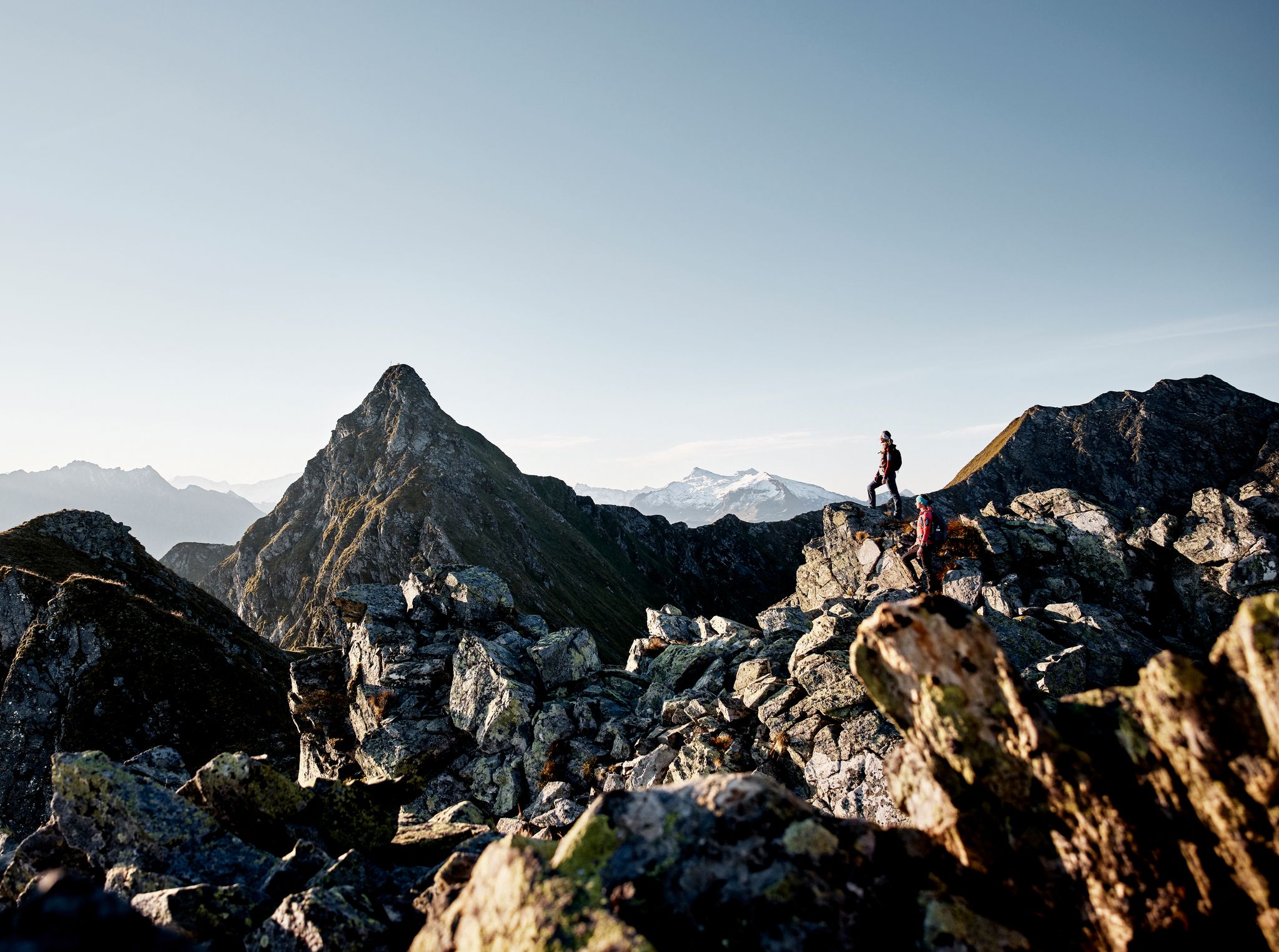
Your adventure is waiting – our ten favourite mountain Tours
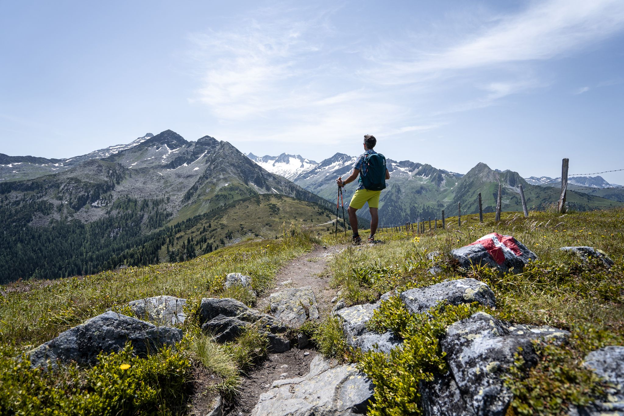
最高峰のベストビュー — ホーエタウエルン・パノラマ・トレイル
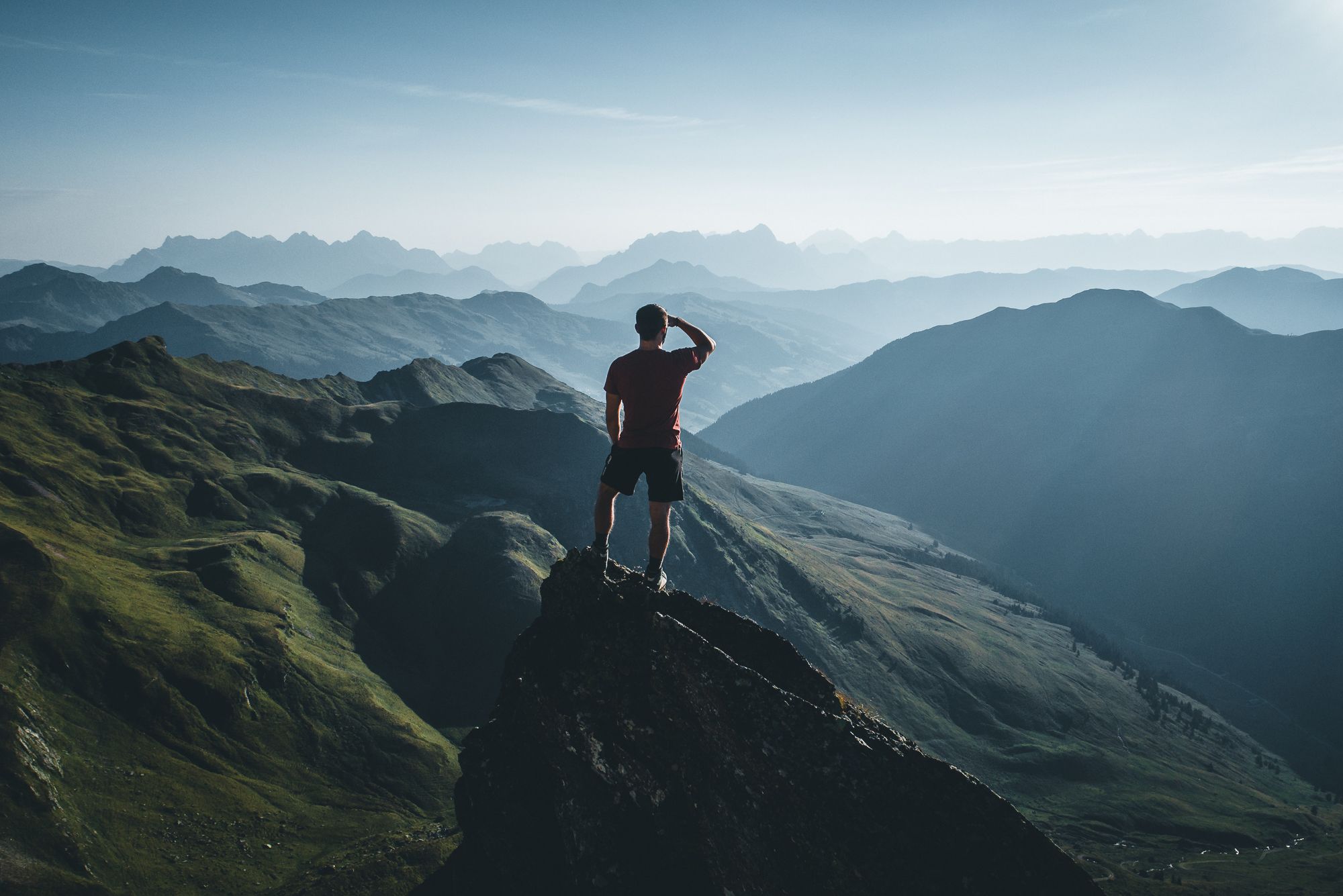
On a voyage of discovery in Austria’s High Tauern National Park
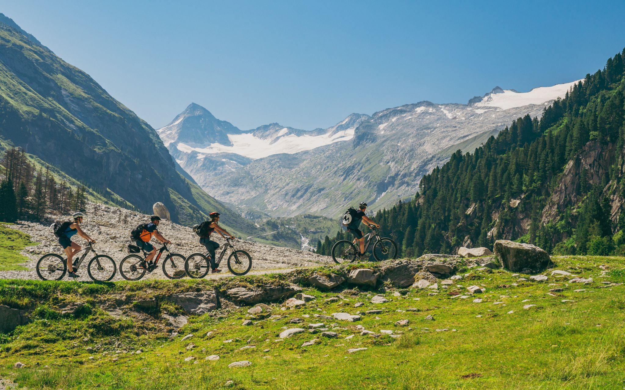
Ride to the alpine pastures in Austria's Hohe Tauern National Park Region
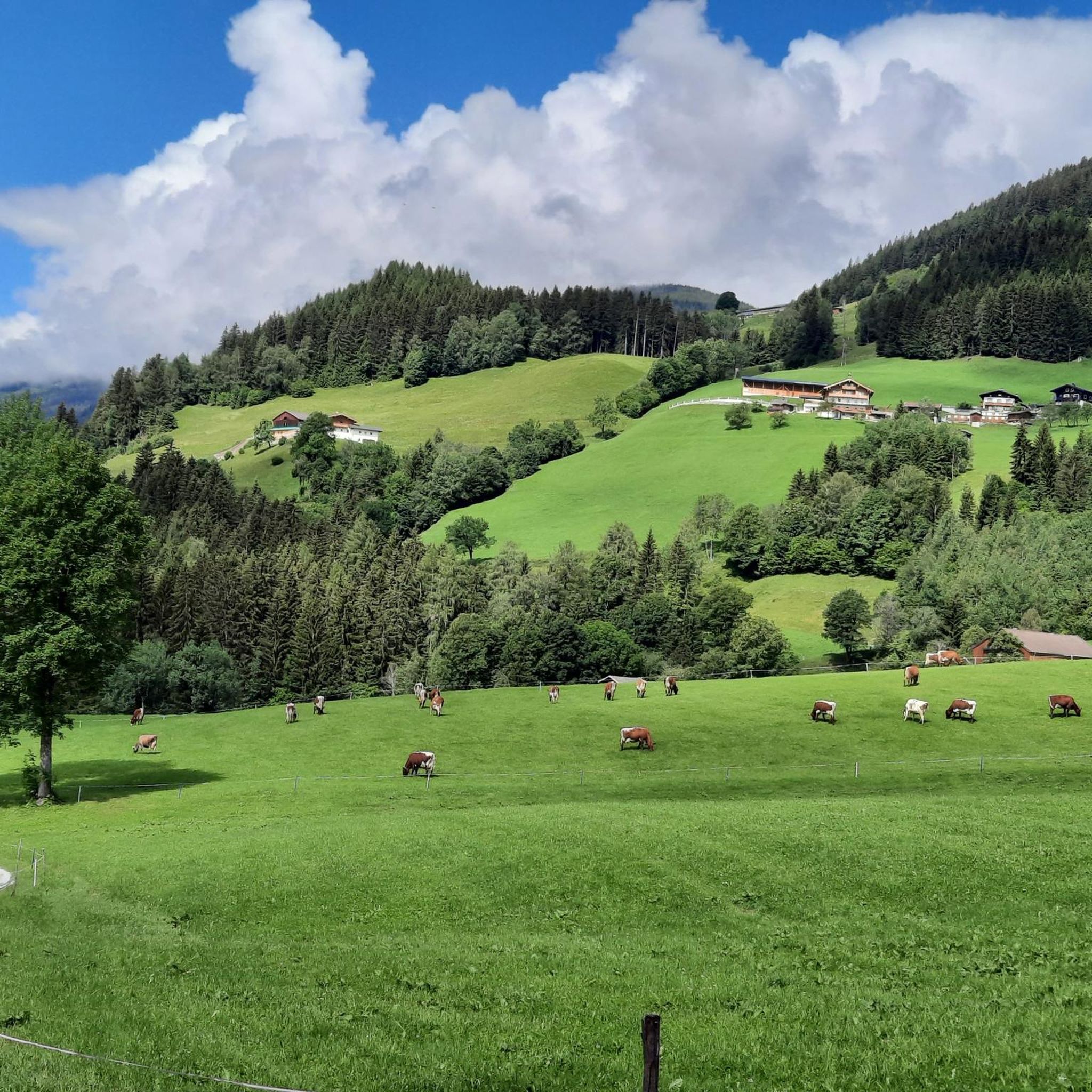
ホラースバッハイムピンツガウでののグラベルライド
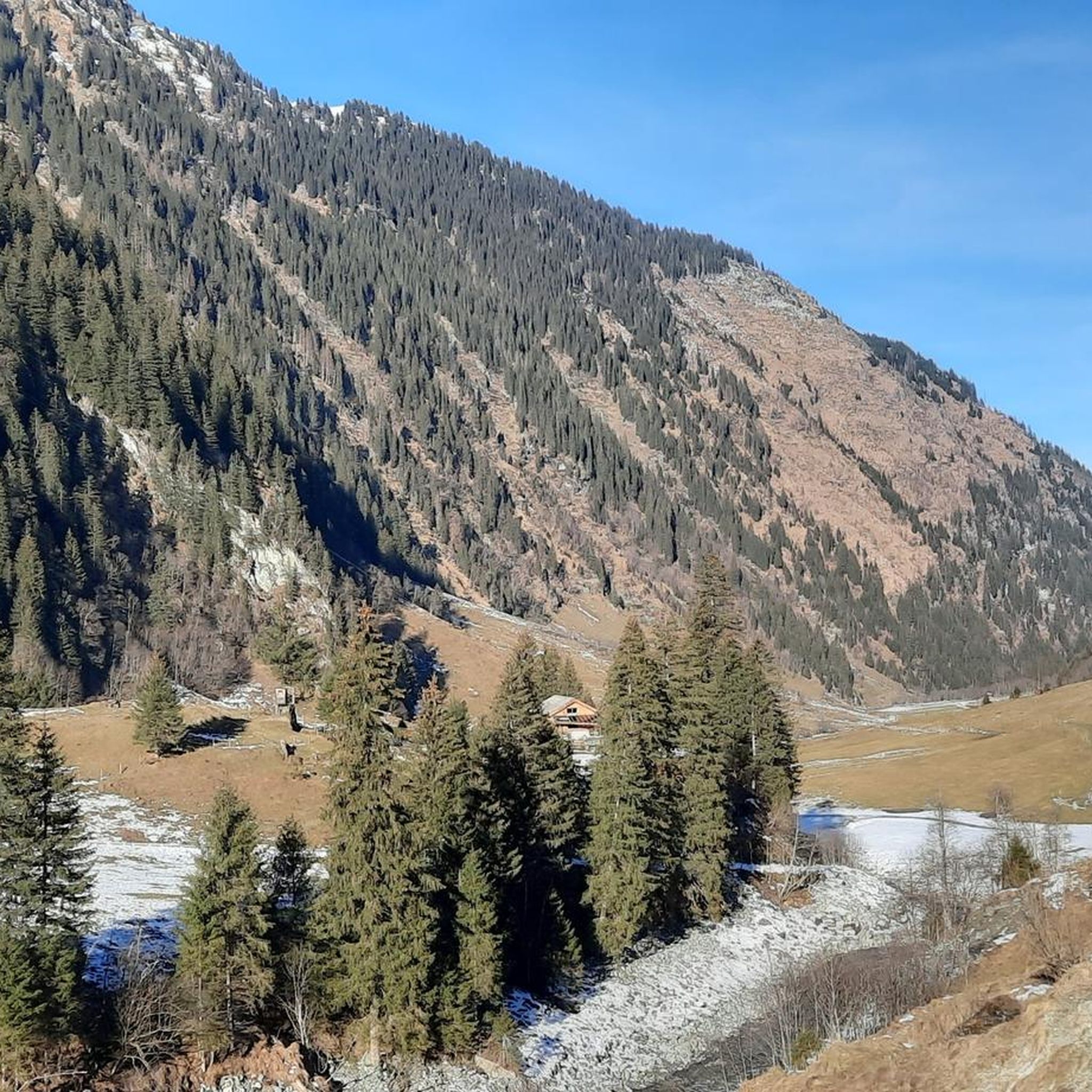
ホラースバッハイムピンツガウのMTBトレイル
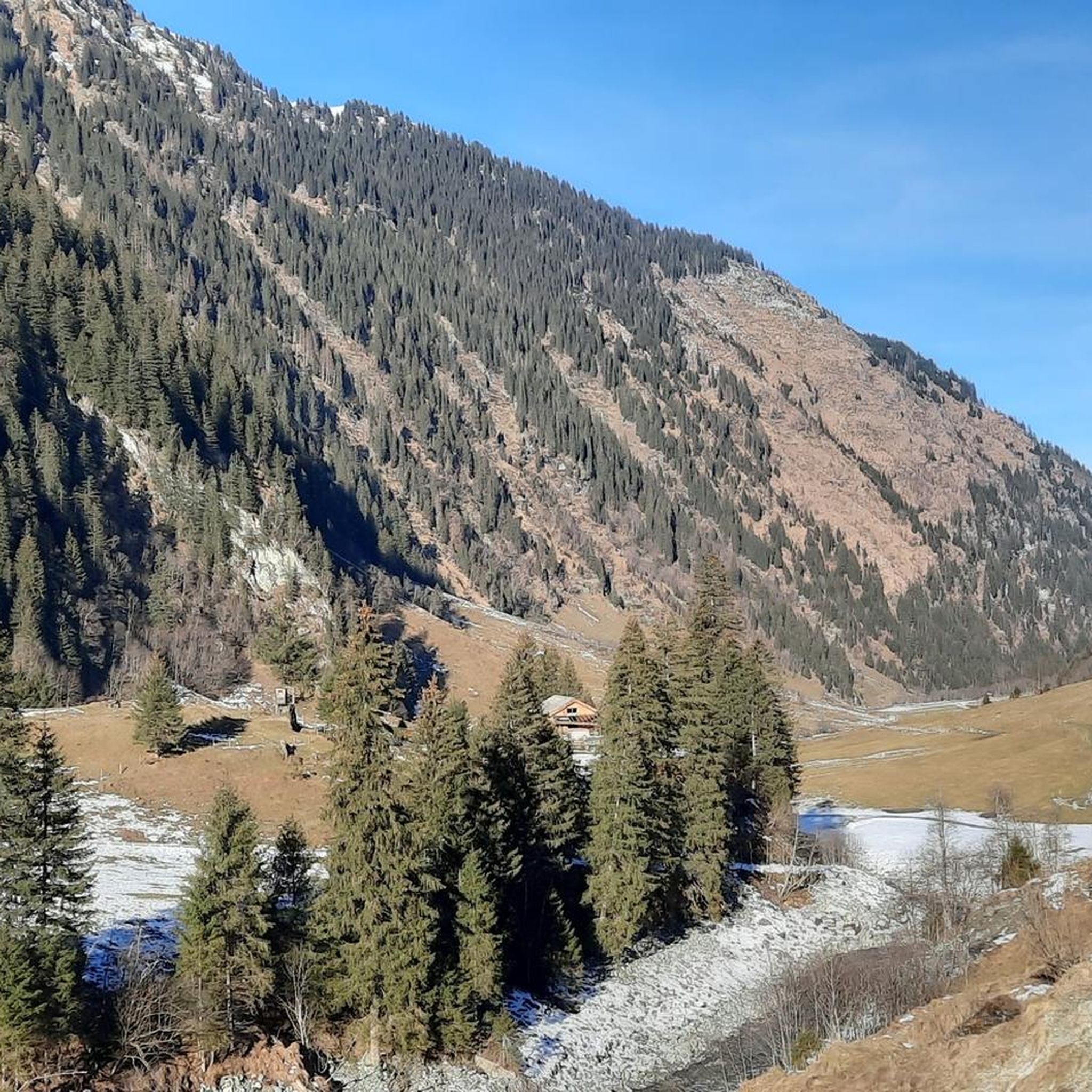
ホラースバッハイムピンツガウのロードバイクルート
ホラースバッハイムピンツガウでのサイクリング
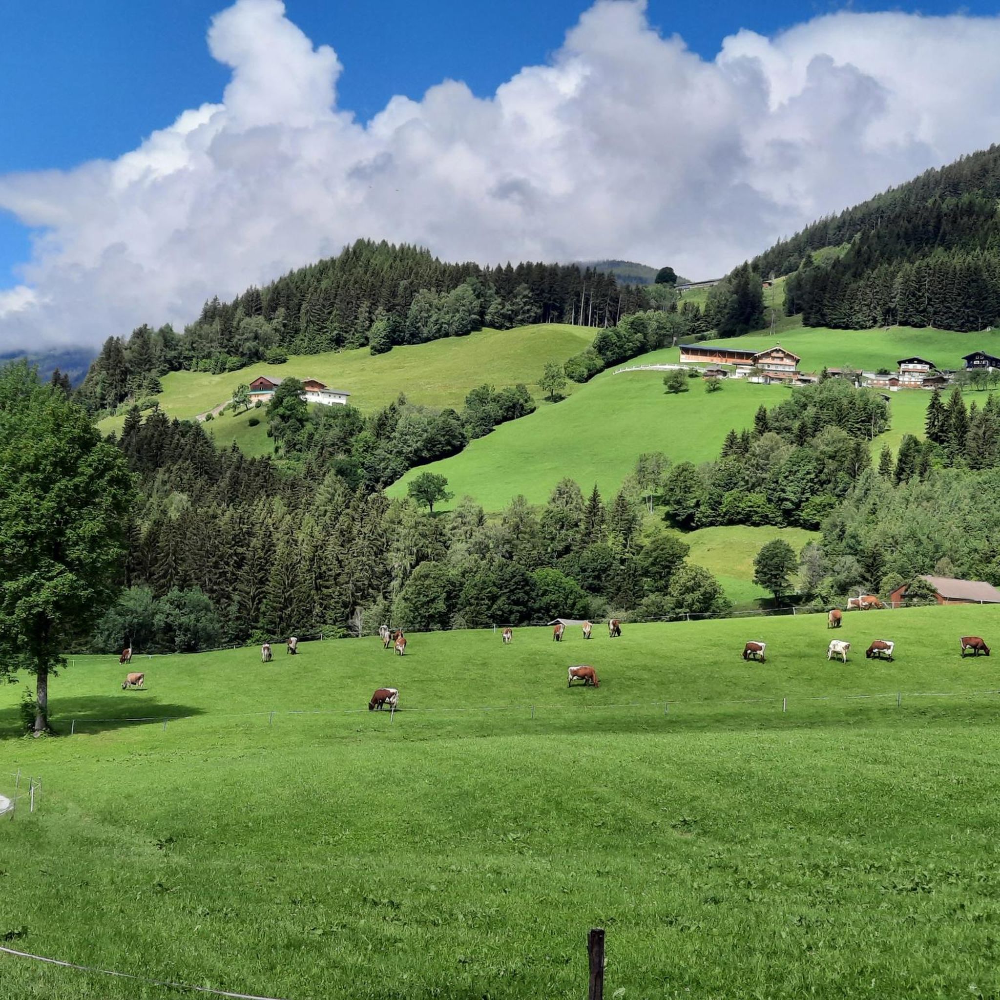
ホラースバッハイムピンツガウのランニングコース
ホラースバッハイムピンツガウでの登山&山歩き
ホラースバッハイムピンツガウでのの他の冒険


コミュニティからのヒント

可能であれば、雪解けの春に走ってください。その時期が最も印象的です
0
0

There are two paths leading to Senninger Alm. One is a bit more difficult due to the varied terrain, but more pleasant because you walk along the stream. The other is easier, with asphalt paving, which is also suitable for vehicles, but the stream is less visible. Both paths lead to the same destination, even from a distance. It was a beautiful trail.
0
0

A stunning view from the head of the valley. Further up, there's a place to leave your bike and hike for two hours to the "Neue Fürther Hütte" (New Fürth Hut). Due to the snowfields, we could only hike a short distance uphill, but the view was well worth it. Hiking boots are essential! The hut's opening hours can be found online.
0
0

The new Further Hut was opened in 1929 and offers a great view. It is located on the Tauern Westweg and the Arnoweg, and the Kratzenbergsee can be reached quickly below the hut. From the end of the valley (approx. 1,641 meters) it is also possible to transport backpacks using the material lift. More information is available at https://www.fuerther-huette.at/.
1
0

The stream here has a very beautiful turquoise color
0
0

A bike tour to the Senninger Alm is worth it!
0
0

Beautiful alpine pasture with plenty of space and delicious food. The apple strudel with cream deserves a special mention 💯😋
2
0

The Kratzenbergsee is located at the southern end of the Hollersbachtal in the Venice group in Pinzgau. At 24 hectares, it is the largest natural mountain lake in the Hohe Tauern National Park and in the Eastern Alps. The mountain lake is impressively framed by high peaks, such as the Abreder (also Abbretter), the Seekopf, both just under 3,000 m high, and the Kratzenberg and the Larmkogel (both over 3,000 m high). The Neue Fürther Hütte is in its immediate vicinity. The outflow of the lake, the Seebach, together with the Hüttenbach, after their confluence above the Ofneralm, forms the Hollersbach, which drains the Hollersbachtal.
0
0

komootモバイルアプリでインスピレーションを得よう


さらに探索
他の地域の最高のハイキングを見てみましょう。
