サーのおすすめウォーキング&ハイキングルート
4.7
(236)
1,038
ハイカー
32
ハイキング
サー周辺でのハイキングは、景色を満喫するのに最適な手段のひとつですが、適切なハイキングルートを見つけることは簡単ではありません。 サー周辺の人気ハイキング&ウォーキングコースを参考にすれば、行きたいルートをすぐに見つけられます。
最終更新日: 9月 30, 2026
4.5
(6)
39
ハイカー
7.64km
02:05
110m
110m
中程度のハイキング. ある程度のフィットネスレベルが必要です。 進みやすいルートです。あらゆるスキルレベルに適しています。
4.0
(2)
45
ハイカー
6.64km
01:42
20m
20m
初級者向けハイキング. あらゆるフィットネスレベルに適しています。 進みやすいルートです。あらゆるスキルレベルに適しています。

4.1
(8)
30
ハイカー
8.20km
02:12
90m
90m
中程度のハイキング. ある程度のフィットネスレベルが必要です。 進みやすいルートです。あらゆるスキルレベルに適しています。
5.0
(1)
39
ハイカー
5.95km
01:37
80m
80m
初級者向けハイキング. あらゆるフィットネスレベルに適しています。 進みやすいルートです。あらゆるスキルレベルに適しています。
4.7
(3)
22
ハイカー
8.40km
02:09
30m
30m
中程度のハイキング. ある程度のフィットネスレベルが必要です。 進みやすいルートです。あらゆるスキルレベルに適しています。
さらに多くのルートや他のユーザーのおすすめ情報を確認できます。
すでにアカウントをお持ちですか?
おすすめのツアーは他のkomootユーザーが実際に経験した何千ものアクティビティに基づいています。
無料アカウントで今日から始めよう
次の冒険が待っています。

コミュニティからのヒント

The Rosengarten Cemetery is a cemetery in Aarau. It is located in the Zelgli district, south of the old town. The crematorium, situated in the center of the cemetery, is a listed building of national importance.
0
0

One of the highlights of the Aargau Half Marathon, these steep steps lead to a beautiful forest path. Unfortunately, there is little room to overtake.
0
0

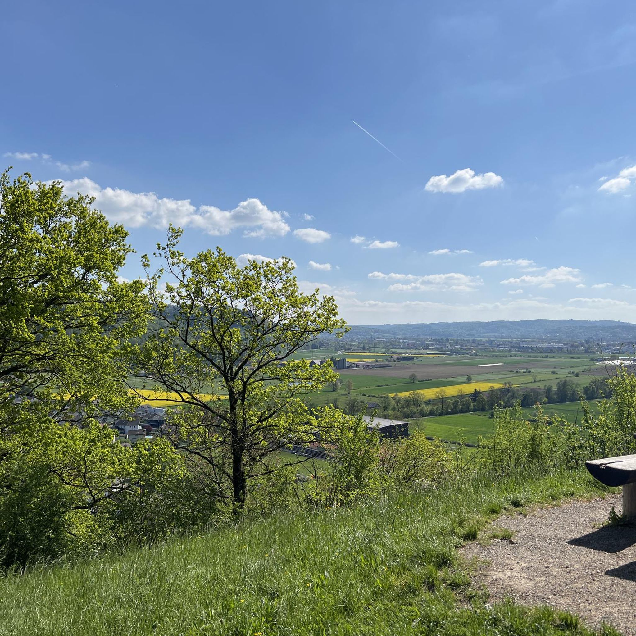
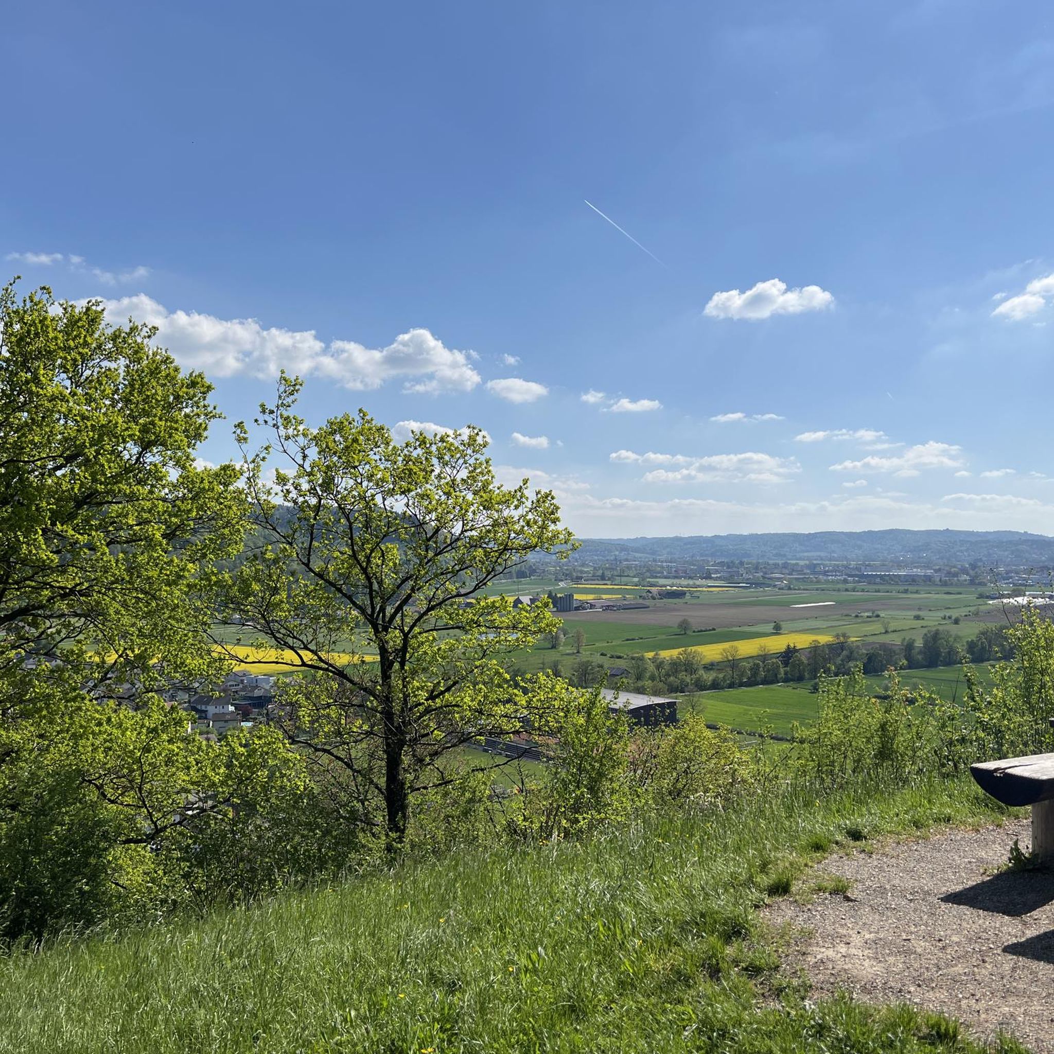
Hello my lovelies Today I had actually planned a pure mountain hike (T3). However, since I don't have the right hiking boots yet, or rather, I still have to pick them up from Bächli Bergsport in Kriens, I spontaneously decided to go for a leisurely hike nearby. There are some very nice hikes in the area. This beautiful and easy hike starts right at the train station in Buchs. There are various public parking spaces in the area (free of charge), white parking spaces. Guys, I just wanted to have some peace and quiet in the forest and enjoy nature on this hike. But even early in the morning I have never seen so many people in the forest, really a lot. It's nice, but there are moments when you just want to be alone and undisturbed. Unfortunately, even though I started at 8:15 a.m., that wasn't the case. But all in all it was a nice and leisurely hike. It runs through the forest the whole time, on very nice paths, and the view from the Suhrerchopf is really great. There are various barbecue areas along the way where you can take a break to eat or drink something. Highlight: - Very beautiful hiking trails - Pure nature - Suhrerchopf with a great view Lowlight: - Lots of people on the trail FYI: Here is the video https://www.relive.cc/de/view/v4OGe57Rjmq Equipment: Normal hiking equipment FYI: Easy hike Difficulty level: T1 (hiking) I wish you all the best and mountain healing.
0
0

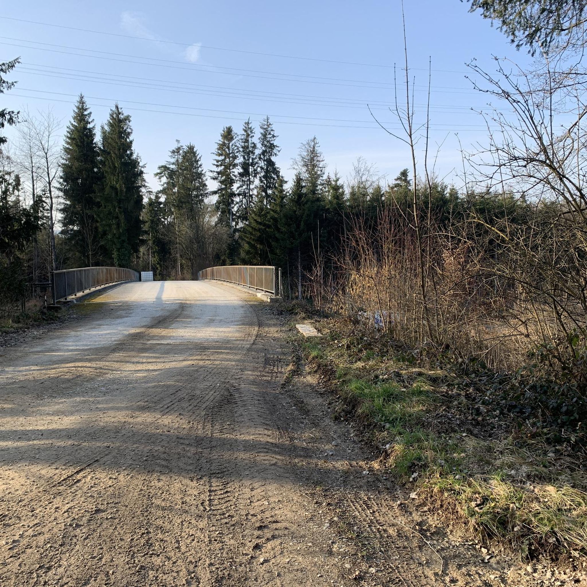
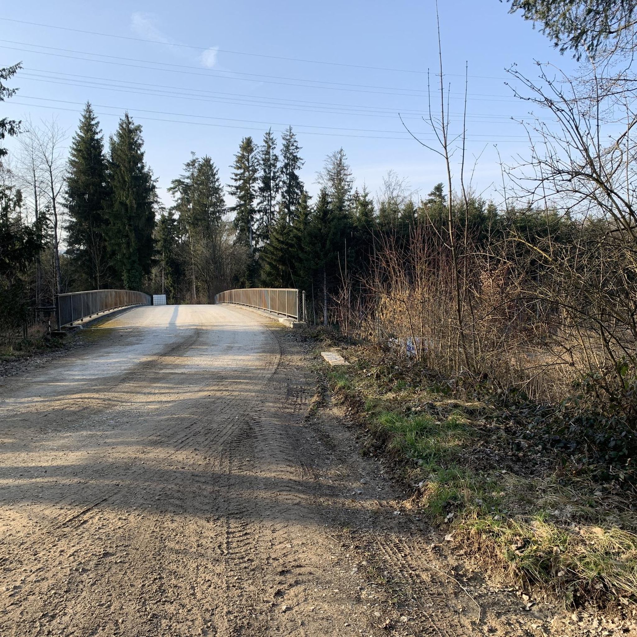
Part of the very easy cycle path along the Suhre!
0
0

Park the car in Oberentfelden, then along the Suhre valley to Suhr, take a leisurely stop here with coffee and cake, then walk up to the church and then continue on the path and up the steps to the Suhrenkopf. Enjoy the view at the top and continue hiking along the ridge back to Oberentfelden. The majority of the hike runs along field paths along the Suhre, only the last stretch to Suhr is unfortunately on asphalt. On the way back, after a short asphalt stretch to the church, we go up the mountain and through the forest back to the starting point. A wonderful half-day hike, comfortable and not rushed!
1
1

nice place to relax
1
0


komootモバイルアプリでインスピレーションを得よう


さらに探索
他の地域の最高のハイキングを見てみましょう。
