シュトラースベルクのおすすめライド
4.6
(193)
3,820
ライダー
29
ライド
シュトラースベルク周辺でのロードバイクライドをお考えですか?komootはシュトラースベルク周辺のあらゆるロードバイクライドを評価し、人気ルートを厳選しました。シュトラースベルク周辺の各ロードバイクルートの詳細をご覧になり、自分に合ったルートを見つけてください。
最終更新日: 10月 15, 2026
4.2
(5)
67
ライダー
75.0km
03:30
870m
870m
中程度のロードライド. ある程度のフィットネスレベルが必要です。 ツアーの一部に、未舗装のため走行が難しい箇所があるかもしれません。
5.0
(1)
46
ライダー
90.5km
04:17
1,000m
1,000m
難しいロードライド. 標準以上のフィットネスレベルが必要です。 ツアーの一部に、未舗装のため走行が難しい箇所があるかもしれません。

5.0
(4)
40
ライダー
47.2km
02:17
650m
650m
中程度のロードライド. ある程度のフィットネスレベルが必要です。 ツアーの一部に、未舗装のため走行が難しい箇所があるかもしれません。
4.7
(6)
53
ライダー
中程度のロードライド. ある程度のフィットネスレベルが必要です。 全般的に舗装状態が良好で走行しやすい道です。
26
ライダー
54.6km
02:35
690m
690m
中程度のロードライド. ある程度のフィットネスレベルが必要です。 全般的に舗装状態が良好で走行しやすい道です。
さらに多くのルートや他のユーザーのおすすめ情報を確認できます。
すでにアカウントをお持ちですか?
おすすめのツアーは他のkomootユーザーが実際に経験した何千ものアクティビティに基づいています。
無料アカウントで今日から始めよう
次の冒険が待っています。
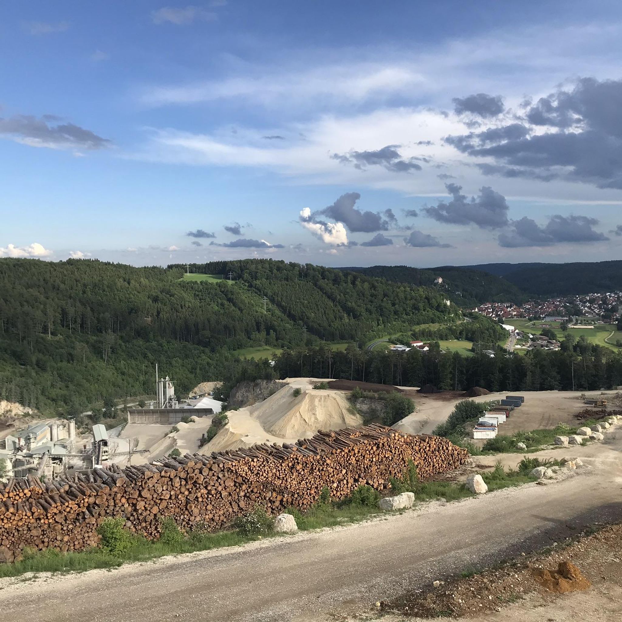
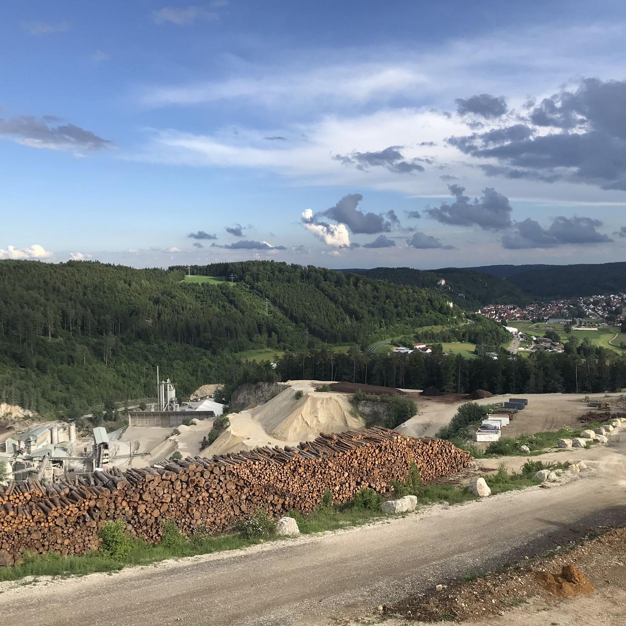
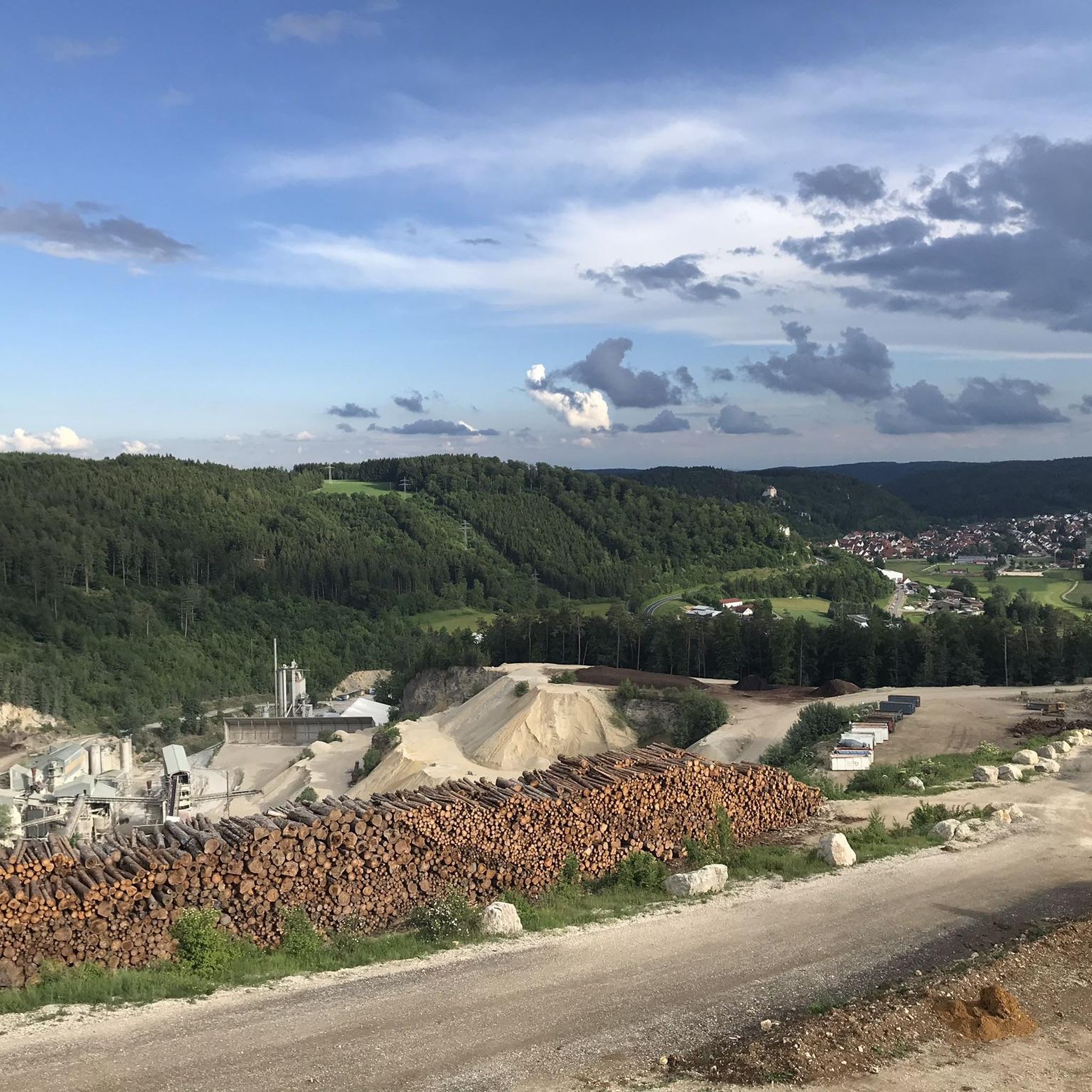
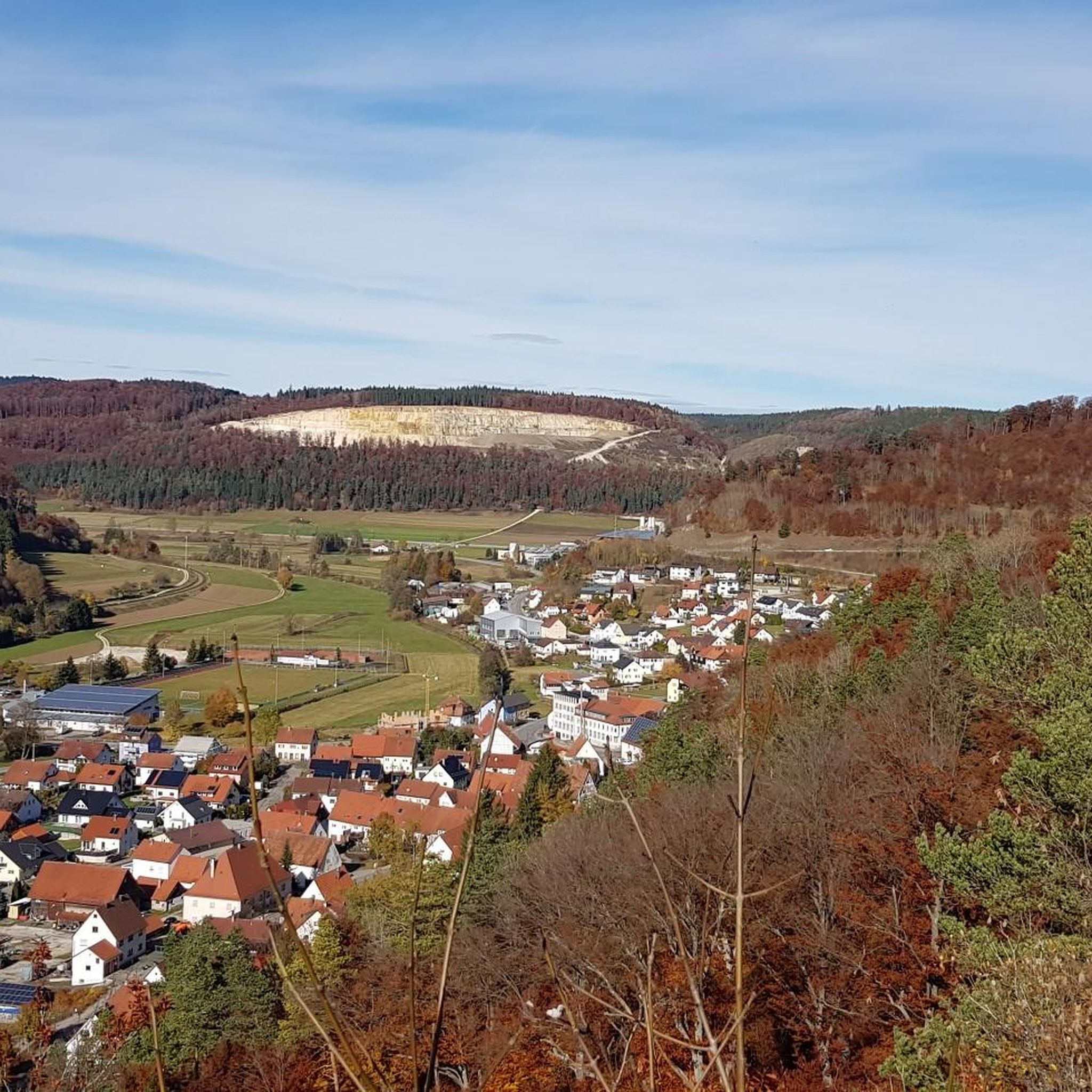
コミュニティからのヒント


Werenwag Castle sits high above the Danube, but unfortunately it is too far away for those passing by
1
0
Great statue of St. Nepomuk
2
0
Impressive monastery complex from a distance, but not so impressive up close
1
0
Great large monastery complex, but not so impressive from close up
1
0

The Burgweg leads upwards from the old town. At the crest of the mountain spur, a signposted footpath branches off to the left, leading down to the Göpfelstein Cave. An information board is located at the cave entrance. The cave is freely accessible. The Göpfelstein Cave is located at an elevation of 660 m above sea level at the western exit of Veringenstadt, to the right above the Lauchert River and the old town. The entrance faces south and is visible from afar, set in a massive White Jurassic rock. The cave has a spacious vestibule. Behind the vestibule lies the three-meter-wide and three-meter-high entrance to the actual cave, which leads into the interior of the rock on two levels. The upper, more spacious section of the cave is seven meters long, seven meters wide, and five meters high. The lower section has a similar floor area and a height of approximately 1.20 meters. When Neanderthals occupied the Göpfelstein Cave, the cave had only one level. Only after the last Ice Age did a false ceiling collapse, opening access to the upper cave level. 34 caves are known around Veringenstadt.
0
0
From Tuttlingen to Sigmaringen is the most beautiful section in the upper Danube valley
1
0

The restaurant is no longer Italian, but serves "Spätzle mit Soß" (spaetzle with sauce) – delicious Swabian specialties at fair prices. One more reason to visit Degerfeld.
0
0

komootモバイルアプリでインスピレーションを得よう


さらに探索
他の地域の最高のロードサイクリングルートを見てみましょう。
