メッツァーネゴのおすすめウォーキング&ハイキングルート
4.5
(1157)
4,888
ハイカー
10
ハイキング
メッツァーネゴ周辺でのハイキングは、景色を満喫するのに最適な手段のひとつですが、適切なハイキングルートを見つけることは簡単ではありません。 メッツァーネゴ周辺の人気ハイキング&ウォーキングコースを参考にすれば、行きたいルートをすぐに見つけられます。
最終更新日: 10月 10, 2026
4.9
(86)
237
ハイカー
8.94km
03:22
450m
450m
Embark on a moderate hike through the Aveto Natural Regional Park with the Passo del Bocco and Monte Zatta loop tour. This 5.6 miles (8.9 km) route features a significant…
4.9
(60)
158
ハイカー
7.00km
02:47
380m
370m
The A10 - Monte Zatta Loop offers a moderate hiking experience through the Ligurian Apennines. You will traverse cool beech woods, providing welcome shade as you ascend towards the Panoramic…

4.6
(5)
18
ハイカー
15.1km
05:50
920m
920m
Embark on a challenging hike along the Alta Via dei Monti Liguri, a difficult route spanning 9.4 miles (15.1 km). You will gain 3019 feet (920 metres) in elevation, requiring…
4.0
(2)
5
ハイカー
22.5km
09:41
1,340m
1,340m
Ridge hike through the Ligurian Apennines with 360-degree views from Alps to Corsica.
5.0
(1)
2
ハイカー
11.4km
05:35
900m
900m
Hike the difficult 7.1-mile Monte Zatta Loop in Aveto Natural Regional Park, gaining 2952 feet for panoramic views.
さらに多くのルートや他のユーザーのおすすめ情報を確認できます。
すでにアカウントをお持ちですか?
おすすめのツアーは他のkomootユーザーが実際に経験した何千ものアクティビティに基づいています。
無料アカウントで今日から始めよう
次の冒険が待っています。



コミュニティからのヒント

Last part on asphalt but very beautiful
0
0

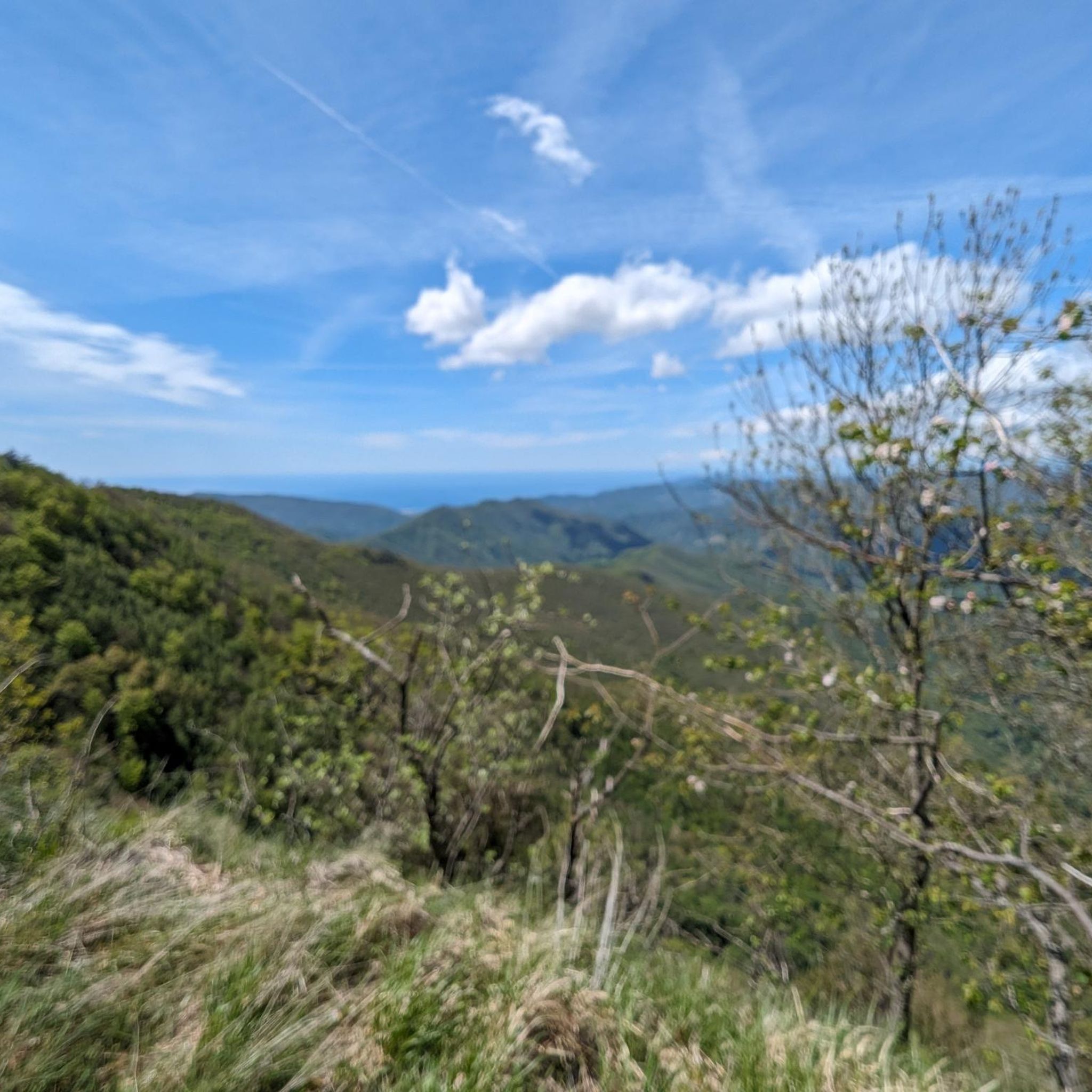
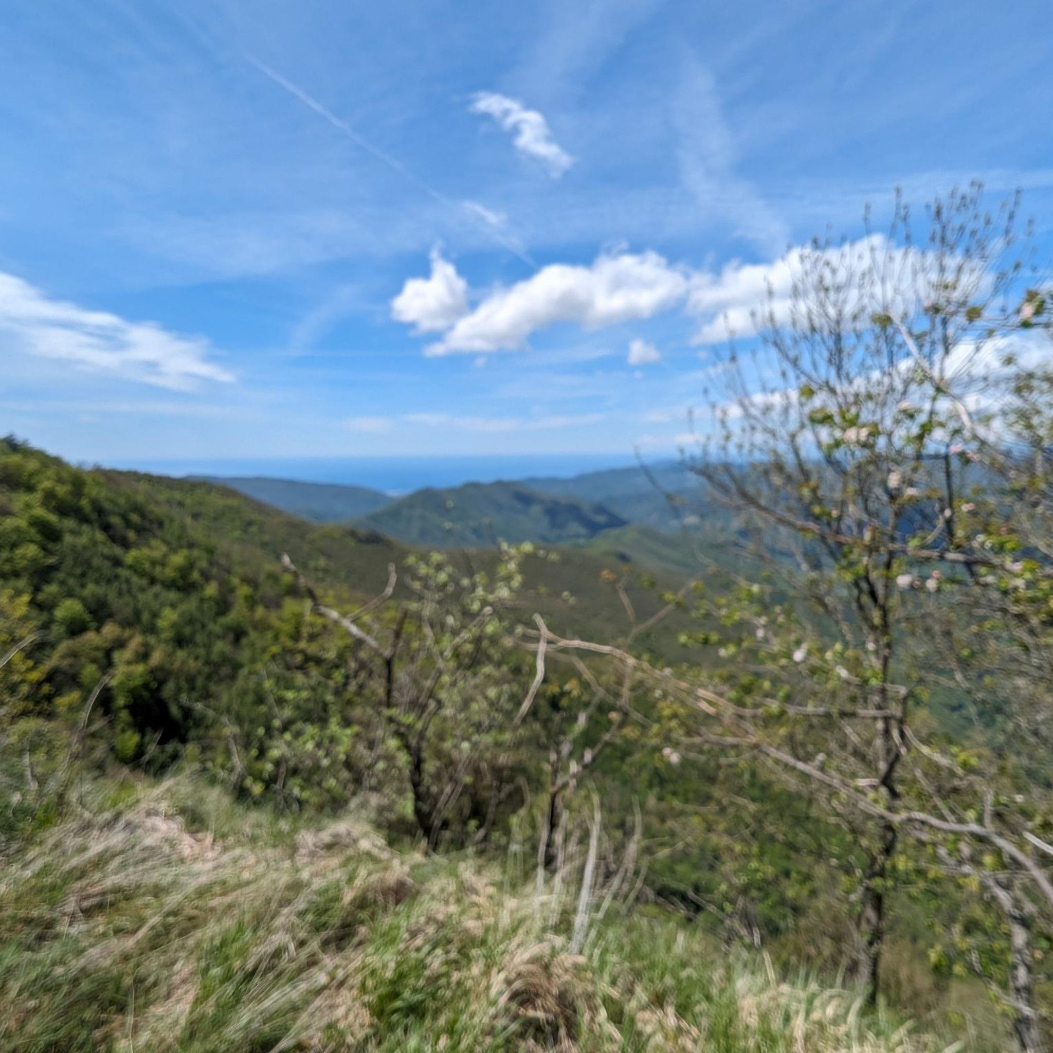
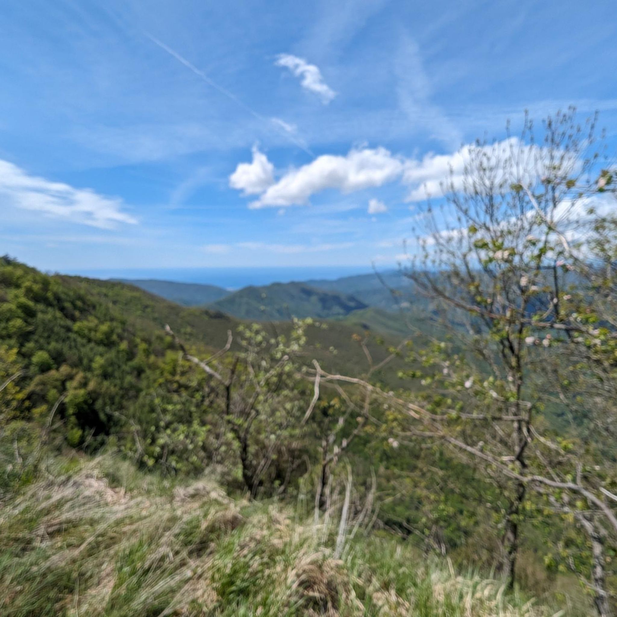
For almost the entire route you can enjoy a wonderful view of the Ligurian Sea
0
0

At this point you get a little lost, follow the A10 signs, turn right a little, climb slightly and, for Cima Zatta di Levante, take the path to the left of the post (see photo)
0
0
In the photo, on the right towards Colonia Devoto, central path that goes up to Cima di Levante. On the left the path ends.
0
0

The cross is located on the central peak of Monte Zatta
0
0

Mount Zatta is an imposing massif of the Ligurian Apennines, which forms part of the Apennine watershed between the Taro valley, the Graveglia valley and the Vara valley.
0
0
Mount Ramaceto (1,345 m a.s.l.) is located on the upper Via dei Monti Liguri. From its summit you can see Corsica. http://www.escursioniliguria.it/schede_monti/m_ramaceto.htm
1
0


komootモバイルアプリでインスピレーションを得よう


さらに探索
他の地域の最高のハイキングを見てみましょう。
