シュテッテンアムカルテンマルクトのおすすめウォーキング&ハイキングルート
4.6
(20632)
71,736
ハイカー
58
ハイキング
シュテッテンアムカルテンマルクト 周辺でおすすめのハイキングやウォーキングを楽しんでいただけるように、このエリアの小径やルートを集めたkomootコレクション全体を見直しました。 以下で各ルートの詳細をご覧になり、シュテッテンアムカルテンマルクト周辺の大自然を満喫する際の参考にしてください。
最終更新日: 8月 28, 2026
4.8
(188)
559
ハイカー
10.0km
02:56
270m
270m
中程度のハイキング. ある程度のフィットネスレベルが必要です。 進みやすいルートです。あらゆるスキルレベルに適しています。
4.8
(28)
101
ハイカー
9.47km
02:55
300m
300m
中程度のハイキング. ある程度のフィットネスレベルが必要です。 全般的に進みやすいルートです。安定して歩行できる技術が必要です。

無料新規登録
4.7
(39)
105
ハイカー
11.2km
03:08
210m
210m
中程度のハイキング. ある程度のフィットネスレベルが必要です。 進みやすいルートです。あらゆるスキルレベルに適しています。
4.4
(19)
55
ハイカー
14.7km
04:14
340m
350m
中程度のハイキング. ある程度のフィットネスレベルが必要です。 進みやすいルートです。あらゆるスキルレベルに適しています。
4.5
(28)
95
ハイカー
3.74km
01:02
70m
70m
初級者向けハイキング. あらゆるフィットネスレベルに適しています。 進みやすいルートです。あらゆるスキルレベルに適しています。
さらに多くのルートや他のユーザーのおすすめ情報を確認できます。
無料新規登録
すでにアカウントをお持ちですか?
おすすめのツアーは他のkomootユーザーが実際に経験した何千ものアクティビティに基づいています。


コミュニティからのヒント


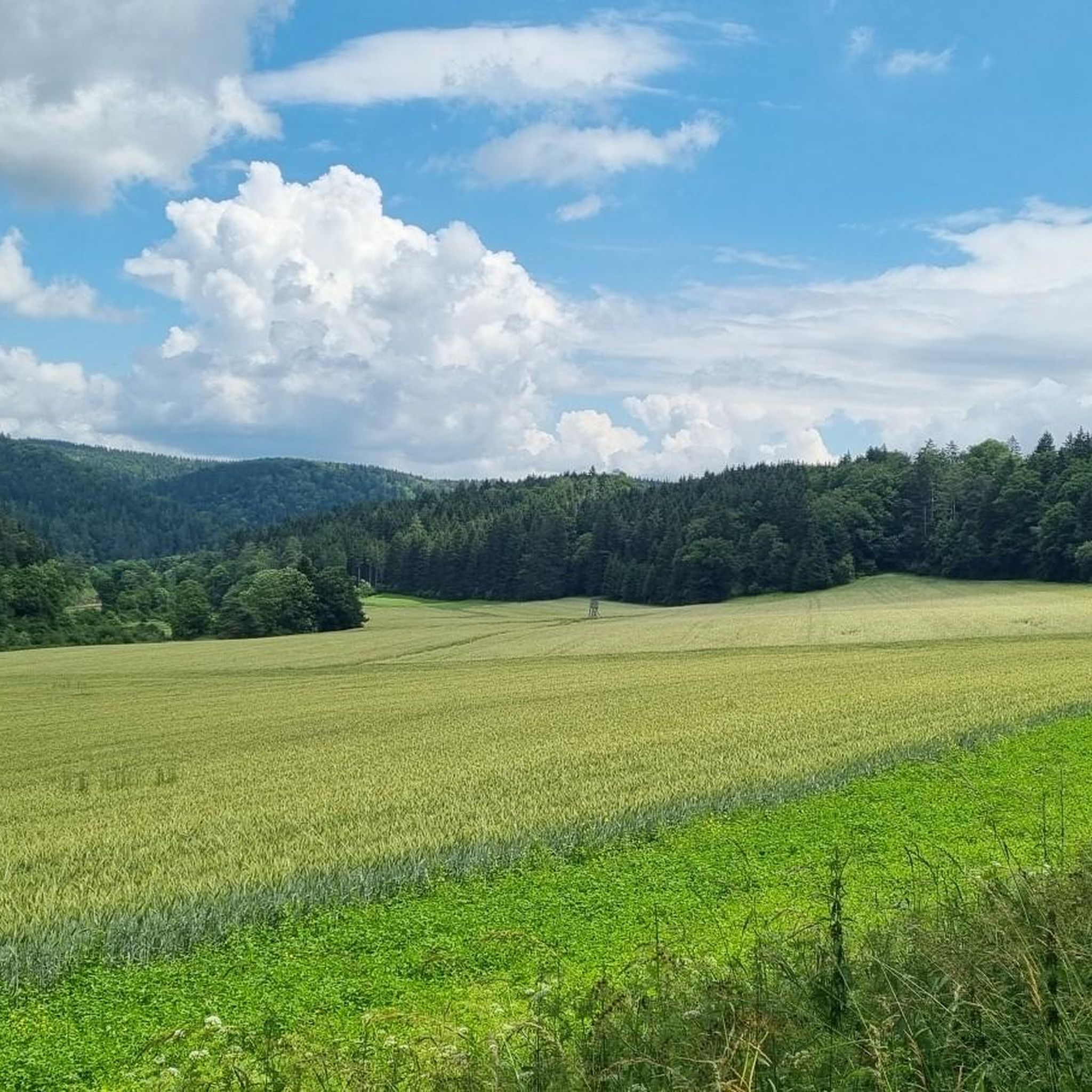
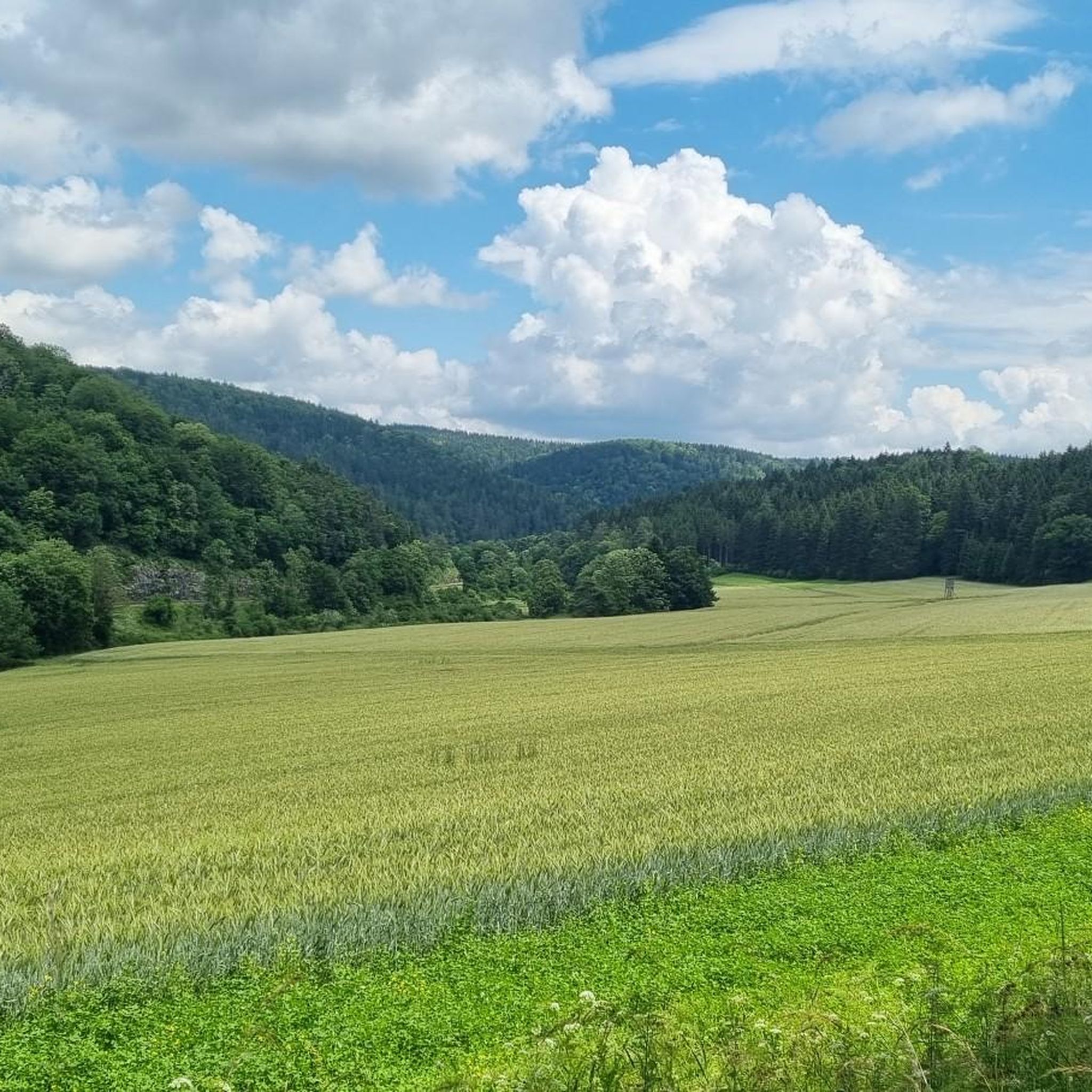
View of Rabenwand and Bröller
0
0

Mega view from up there
0
0

See also http://germancavediving.de/mediapool/60/601543/data/2003_Frohnstetter_Wasserhoehle_VdHK_3_2003.pdf
0
0
Locals call this water cave "Brechfelsen" (Break Rock). They probably call it this because in the spring (when there was a lot of meltwater due to the weather), water would "break" out of a crevice in an arc.
0
0

The Jesus figure is not visible from the direction of the Albverein hut. You either have to climb onto the rock to see it from behind or walk around the bottom of the rock.
0
0
A very well-maintained hut with outdoor facilities and a barbecue area. There are two benches nearby with beautiful views of the Schmeiental Valley.
0
0

The processing area extends over two administrative districts (Freiburg and Tübingen) and three rural districts (Schwarzwald-Baar-Kreis, Tuttlingen district, Sigmaringen district) from the source of the Danube in Donaueschingen through the breakthrough valley to Sigmaringen, a total of 107 river kilometers.
0
0
シュテッテンアムカルテンマルクトでのの人気ルート
シュテッテンアムカルテンマルクトでのの人気観光スポット

komootモバイルアプリでインスピレーションを得よう


さらに探索
他の地域の最高のハイキングを見てみましょう。
