シュタイナキルヒェンアムフォルストのおすすめウォーキング&ハイキングルート
4.5
(1215)
8,333
ハイカー
376
ハイキング
シュタイナキルヒェンアムフォルスト 周辺でおすすめのハイキングやウォーキングを楽しんでいただけるように、このエリアの小径やルートを集めたkomootコレクション全体を見直しました。 以下で各ルートの詳細をご覧になり、シュタイナキルヒェンアムフォルスト周辺の大自然を満喫する際の参考にしてください。
最終更新日: 11月 14, 2026
4.0
(1)
29
ハイカー
6.51km
01:51
150m
150m
初級者向けハイキング. 歩きやすい道です。
4.5
(2)
8
ハイカー
4.85km
01:26
140m
140m
初級者向けハイキング. 歩きやすい道です。

4.0
(1)
8
ハイカー
7.17km
02:04
170m
170m
中程度のハイキング. ある程度のフィットネスレベルが必要です。 歩きやすい道です。
3.5
(2)
5
ハイカー
12.4km
03:36
310m
310m
中程度のハイキング. ある程度のフィットネスレベルが必要です。 歩きやすい道です。
3.0
(1)
6
ハイカー
9.28km
02:34
160m
160m
中程度のハイキング. ある程度のフィットネスレベルが必要です。 歩きやすい道です。
さらに多くのルートや他のユーザーのおすすめ情報を確認できます。
すでにアカウントをお持ちですか?
おすすめのツアーは他のkomootユーザーが実際に経験した何千ものアクティビティに基づいています。
無料アカウントで今日から始めよう
次の冒険が待っています。
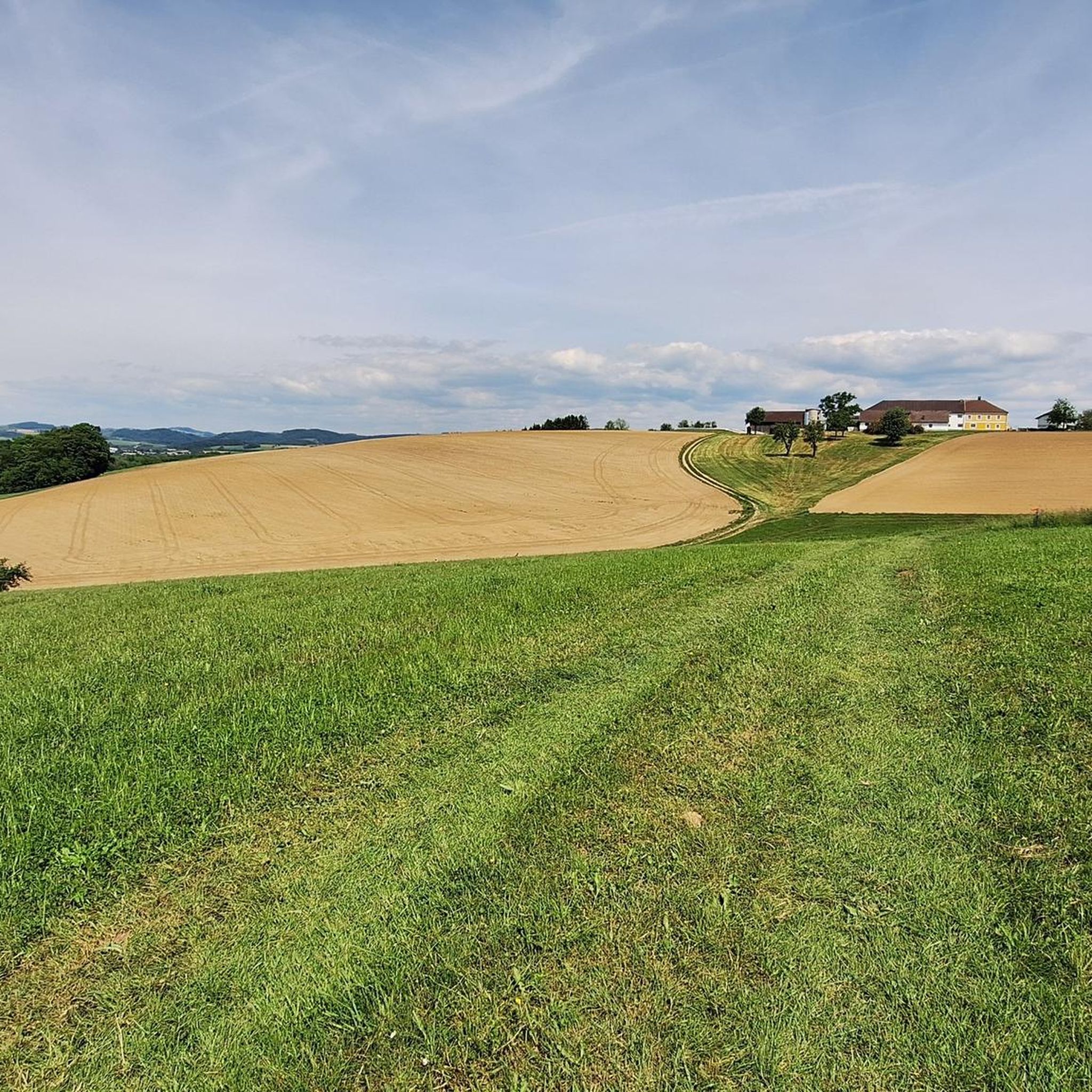
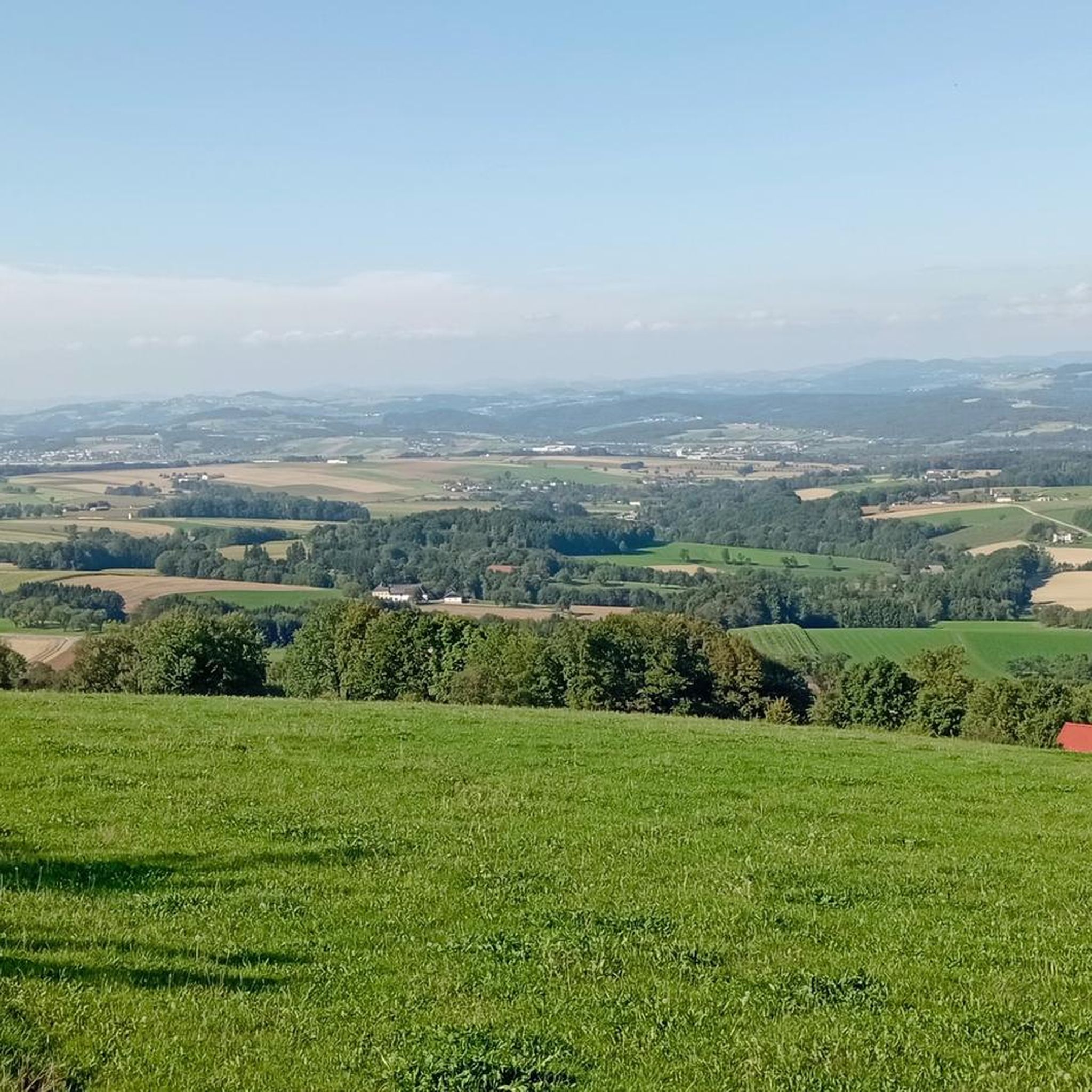
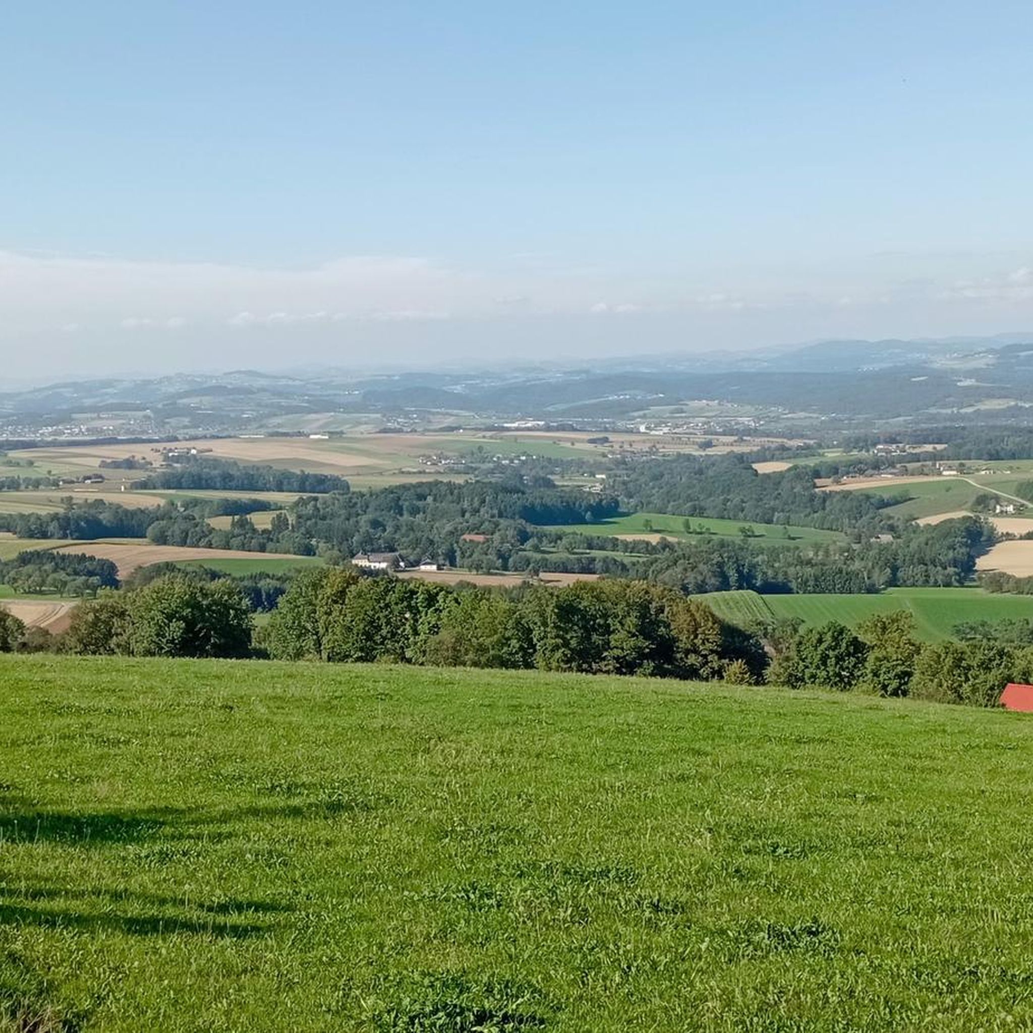
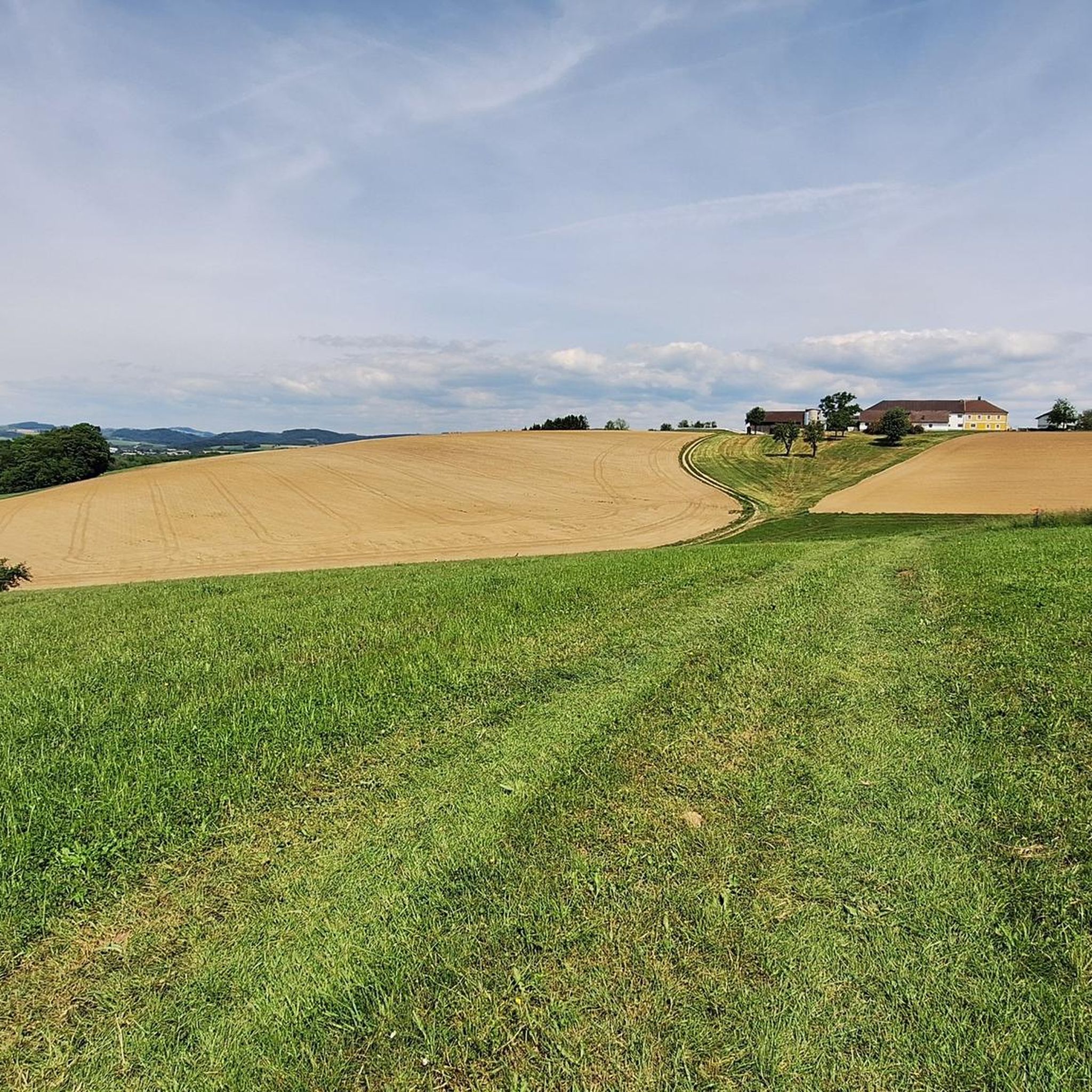
コミュニティからのヒント


Beautiful summit cross with a rest area.
0
1

The rest area is located directly on the cycle path of this section of the route on the Erlauf. The right place for a quiet, relaxing break. Helpful!
0
0


Quiet place with comfortable seating to enjoy nature!
0
0

Such a vending machine is a hit in summer! You can rest well in the shade before continuing with vigor ;-)
0
0
Nice view and an ideal place to take a short break
0
0

The center is a 6.5 meter high granite obelisk with sundials. A circle of trees has been planted all around! https://steinakirchen-forst.gv.at/sonnwendkreis
0
0
シュタイナキルヒェンアムフォルストでのの人気観光スポット

komootモバイルアプリでインスピレーションを得よう


さらに探索
他の地域の最高のハイキングを見てみましょう。
