セントクリストフの絶景の山頂・トップ14
絶景を目指して登るのであれ、達成感のために登るのであれ、山頂を訪れることで、セントクリストフの美しい自然をもっと満喫することができます。14
もの選択肢の中から、制覇する山頂を決めるのは簡単ではありません。スムーズに次の冒険で目指す山頂を選べるように、セントクリストフの素晴らしい山頂をこのガイドにまとめました。
最終更新日: 8月 31, 2026
シャモレ
ハイライト • 山頂
翻訳者 Google •
役立つ情報 は

プンタ・レプラン
ハイライト • 展望台
翻訳者 Google •
役立つ情報 は
今すぐサインアップして、こんな場所を発見しよう
最高のシングルトラック、ピーク、その他のエキサイティングなアウトドアスポットのおすすめを受け取ろう。
無料新規登録
コル・ド・シャンピヨン
ハイライト • 山道
翻訳者 Google •
役立つ情報 は

モンテ・エミリウス山頂と像
ハイライト • 山頂
翻訳者 Google •
役立つ情報 は

Colle Tsa Seche
ハイライト • 山道
翻訳者 Google •
役立つ情報 は

無料でサインアップして、さらに多くの山を発見しましょう セントクリストフでの。
無料新規登録
すでにアカウントをお持ちですか?
無料アカウントで今日から始めよう
次の冒険が待っています。
ログインまたは登録



コミュニティからのヒント

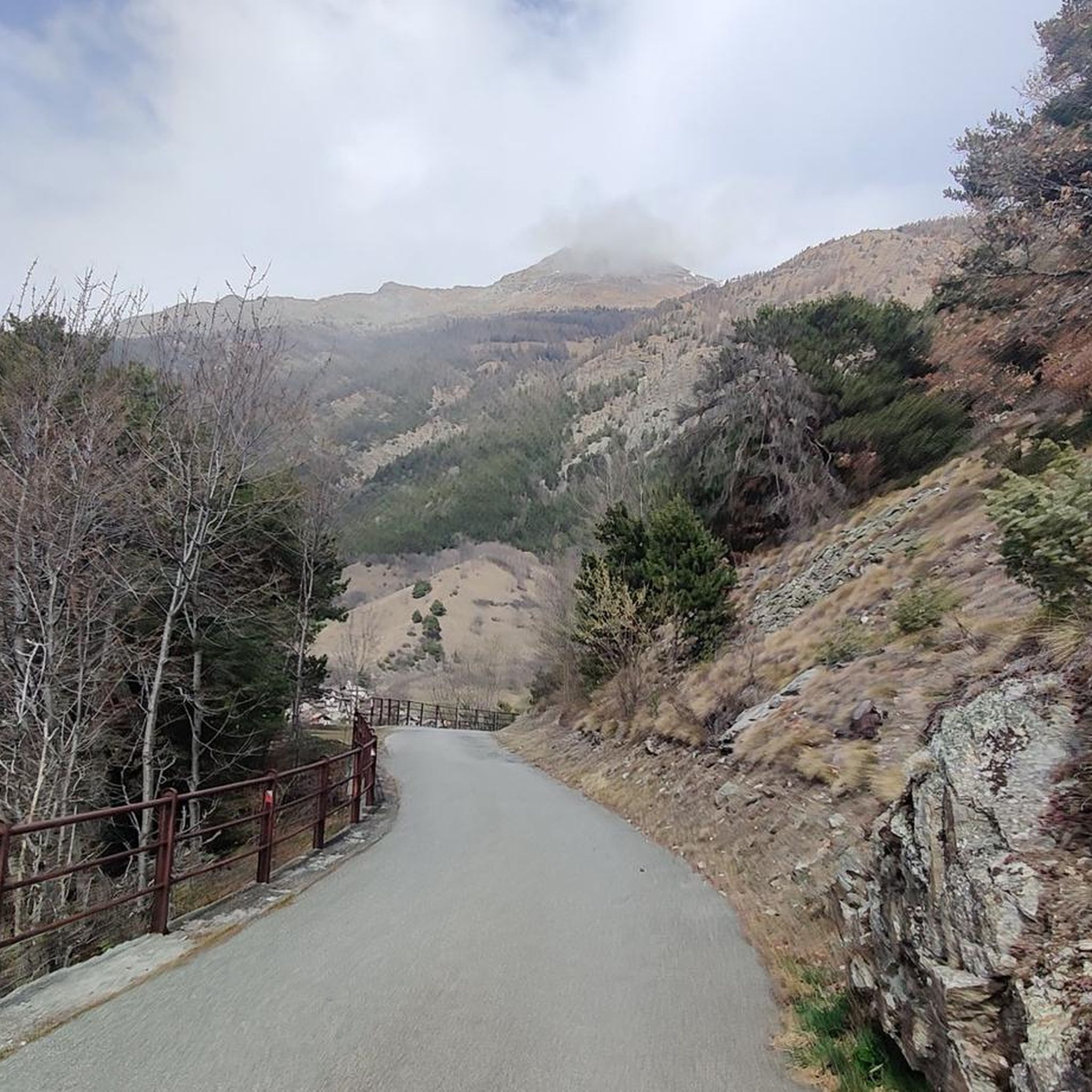
Very panoramic hill, reachable only with bike on your shoulder
0
0

https://youtu.be/Pxndx9TNM5U?si=mH5XT38nxmCVjLSr Push, lift, and drag until you're over it, then you have a beautiful descent to Cogne.
0
0

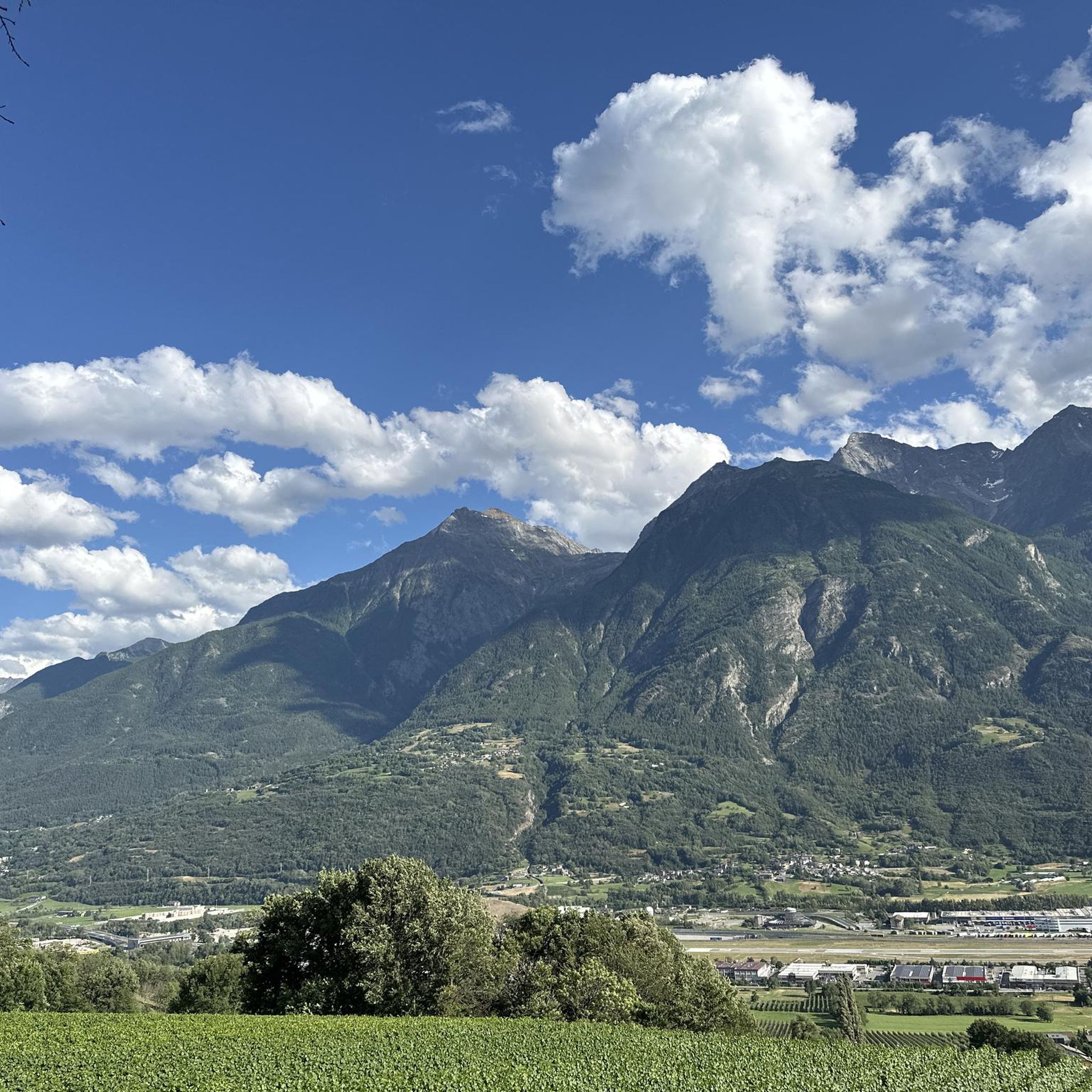
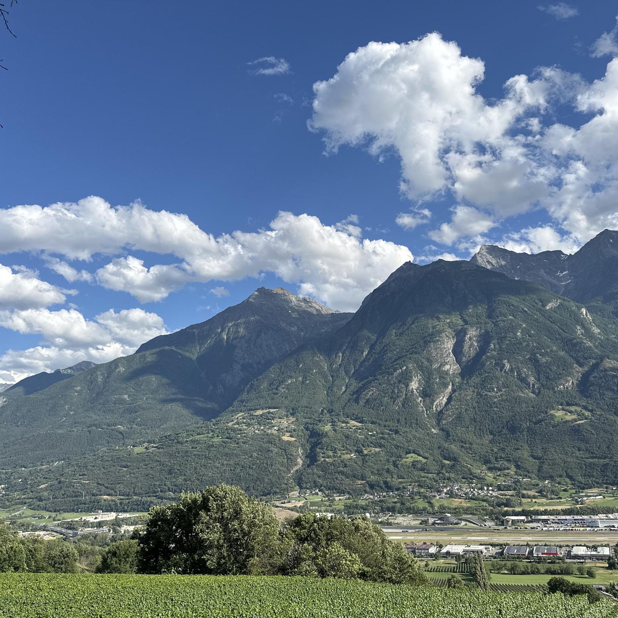
A fantastic view, weather permitting: Mont Blanc, Grandes Jorasses, Matterhorn, Punta Rosa. The overview board tells you where each peak is located.
0
0

Mount Emilius, m. 3,559 s.l.m., is a mountain of the Graian Alps located in the Aosta Valley. Before 1839, it was known as Pic de dix heures, Pic Chamosser or Pic Chamoisier, later the peak was therefore named in honor of the fourteen-year-old Émilie Argentier who climbed it that year.
4
0

From the Federigo camp, follow the green signs and start climbing up along a stony ground, keep to the left at the beginning (north side) and then reach the ridge where the via ferrata starts. The track starts amid some rocks on the left side of the ridge and reaches the top, where there is a protruding rocky turret, linked to the following peak by a spectacular Tibetan bridge. The via ferrata continues along a vertical rock track and reaches Mont Ross de Comboé (3,285 m), located at the western side of Monte Emilius. At the beginning, you will be fascinated by the imposing and dark north side of Monte Emilius, while now you will have the whole of Aosta Valley and its mountains in full view, in the pleasant sunlight: the Gran Paradiso chain and Grivola to the south, Rutor and the whole Mont Blanc massif to the west, Gran Combin and the Alpine ridge of Valpelline to the north and Matterhorn, the Swiss Alps and Monte Rosa to the east. This gorgeous landscape will follow you until you reach the top. The via ferrata continues along the ridge, going from west to east following a long, almost horizontal trail, up to a sign indicating a possible downslope to the right (south side). This downslope follows a trail, which is not always visible, and reaches Lago Gelato (2,955 m), along a comfortable track going down to the Arbolle refuge (normal route of Emilius). Such a downslope represents an alternative for anyone wishing to abandon the via ferrata which reaches Piccolo Monte Emilius (3,342 m) and goes up the rugged and steep ridge, which you can overcome on the right, by following some huge red and compact rocky steps. If you keep to the south side, you reach a gap where the rock is lighter in colour and slightly more friable. You will have to take some careful steps and continue up a rocky slope until you come to the side where the equipped route ends. From there, you will reach the top (3,559 m) in about ten minutes. On the way down, follow the clearly indicated path along the normal route (south ridge) leading to Colle dei tre Cappuccini (3,222 m), where you need to be careful along a short exposed track. Follow the signs and keep to the right, going down the Arbolle deep valley, past Lago Gelato, up to the Arbolle refuge and, from there, you will reach the arrival station of the Chamolé chair-lift, after walking up the small Col Chamolé (2,641 m) along a comfortable path. (https://pila.it/en/track/the-via-ferrata-of-monte-emilius/)
3
0

Characteristic cross made of trunks and branches
1
0

Punta Replan (2,475 m above sea level) is a mountain in the Gran Paradiso massif. The nearest mountain hut is the Rifugio Arbolle, which is located 1,434 m to the southeast.
15
0
This mountain cross, which is worth seeing, was built from branches and logs.
24
0
セントクリストフでのの人気観光スポット

komootモバイルアプリでインスピレーションを得よう


さらに探索
これらのガイドでさらに素晴らしい頂上を見てみましょうセントクリストフでの:
