ソリアのおすすめライド
4.8
(54)
3,765
ライダー
301
ライド
このガイドでご紹介するのは、komootがソリアでのロードバイクルートのコレクション全体を評価して選び抜いた、このエリアの人気バイクライドです。あなたに合ったものを見つけるには、以下のルートをクリックして標高データや舗装状態の分析などの細かな情報を把握し、さらにkomootコミュニティのメンバーが投稿した役立つ情報や写真も閲覧しましょう。
最終更新日: 10月 10, 2026
5.0
(1)
188
ライダー
122km
06:14
2,100m
2,100m
難しいロードライド. 標準以上のフィットネスレベルが必要です。 全般的に舗装状態が良好で走行しやすい道です。
4.0
(1)
109
ライダー
101km
05:44
2,330m
2,330m
This difficult 62.7-mile road cycling route through Alto Najerilla and Sierra Cebollera offers significant climbs and panoramic mountain vie

56
ライダー
114km
05:42
1,820m
1,820m
Tackle the difficult 70.8-mile Mirador de Piqueras y Puerto de Santa Inés circular road cycling route through Sierra Cebollera Natural Park.
5.0
(1)
59
ライダー
37.8km
02:20
680m
680m
中程度のロードライド. ある程度のフィットネスレベルが必要です。 全般的に舗装状態が良好で走行しやすい道です。
44
ライダー
113km
05:39
1,810m
1,810m
難しいロードライド. 標準以上のフィットネスレベルが必要です。 全般的に舗装状態が良好で走行しやすい道です。
30
ライダー
53.0km
02:17
460m
460m
中程度のロードライド. ある程度のフィットネスレベルが必要です。 全般的に舗装状態が良好で走行しやすい道です。
33
ライダー
69.6km
04:09
1,670m
1,670m
This difficult 43.2-mile (69.6 km) road cycling loop tackles the Santa Inés and Montenegro Passes with 5479 feet (1670 metres) of climbing.
5.0
(1)
29
ライダー
45.1km
02:06
430m
430m
This moderate 28.0-mile (45.1 km) road cycling route circles the Embalse de la Cuerda del Pozo, starting and ending in Molinos de Duero.
25
ライダー
66.3km
03:29
1,220m
1,220m
難しいロードライド. 標準以上のフィットネスレベルが必要です。 全般的に舗装状態が良好で走行しやすい道です。
26
ライダー
56.9km
03:02
880m
880m
Cycle 35.4 miles (56.9 km) through the stunning pine forests around Covaleda on this moderate road cycling route with 2901 feet (884 metres)
さらに多くのルートや他のユーザーのおすすめ情報を確認できます。
すでにアカウントをお持ちですか?
おすすめのツアーは他のkomootユーザーが実際に経験した何千ものアクティビティに基づいています。

ソリアでのの他の冒険


コミュニティからのヒント


Garray witnesses how the Tera River definitively delivers its waters to the Duero. The Celtiberian city of Numancia was located in this area, whose ruins can be visited and give an idea of the importance of this culture on the peninsula.
0
0

Villoslada de Cameros is a small town in La Rioja inhabited by only around 400 people. It is located in a magical setting, at the foot of the Sierra de Cebollera Natural Park.
0
0

Wonderful to cycle on the little-used road along the reservoir.
2
0
From the Cuerda del Pozo reservoir dam there are two views, each one more impressive. On one side, the dammed water fills the bottom of the valley and forms a mirror for the mountains. In the other, the river again runs naturally through the bottom of the depression and slips through the foliage.
0
0

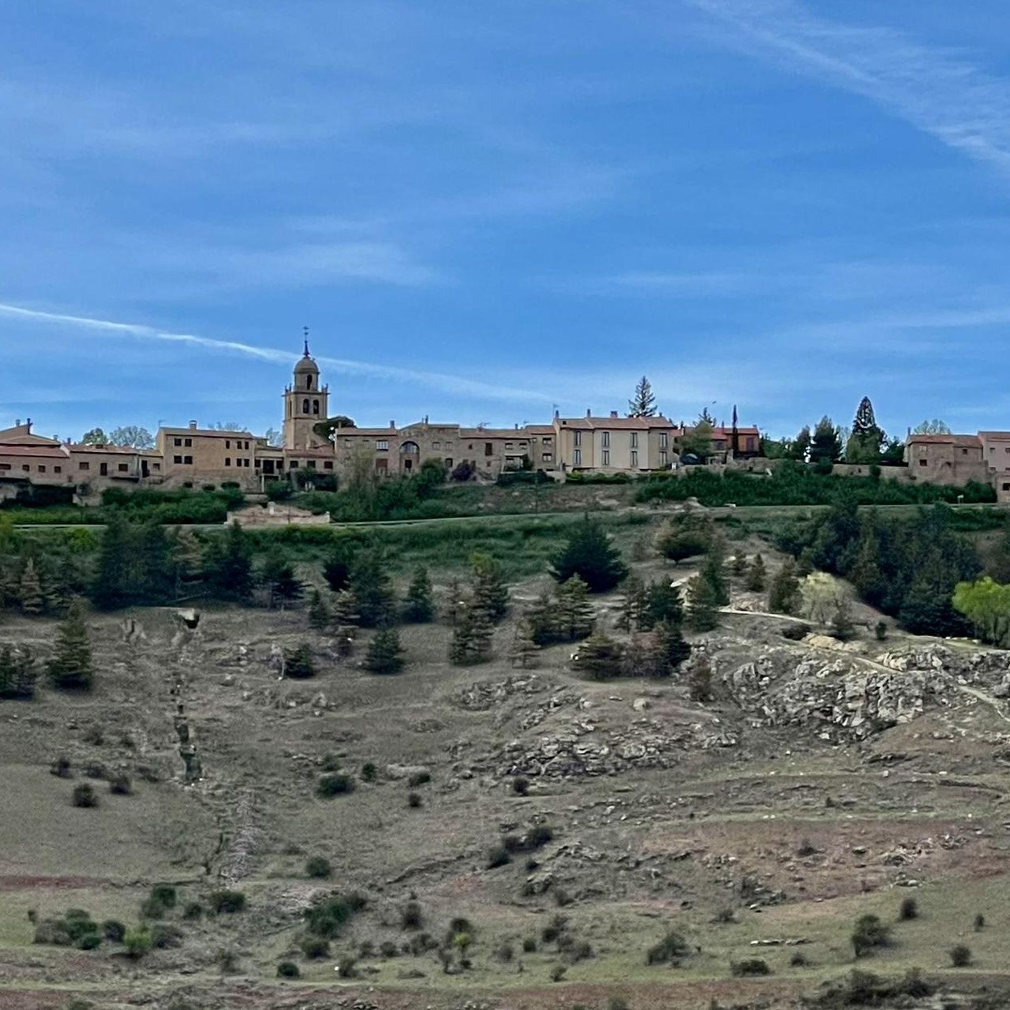
Small town located to the south of the Sierra Cebollera, to the east of the Cuerda del Pozo Reservoir. Beautiful town with its church as the center of the town.
0
0
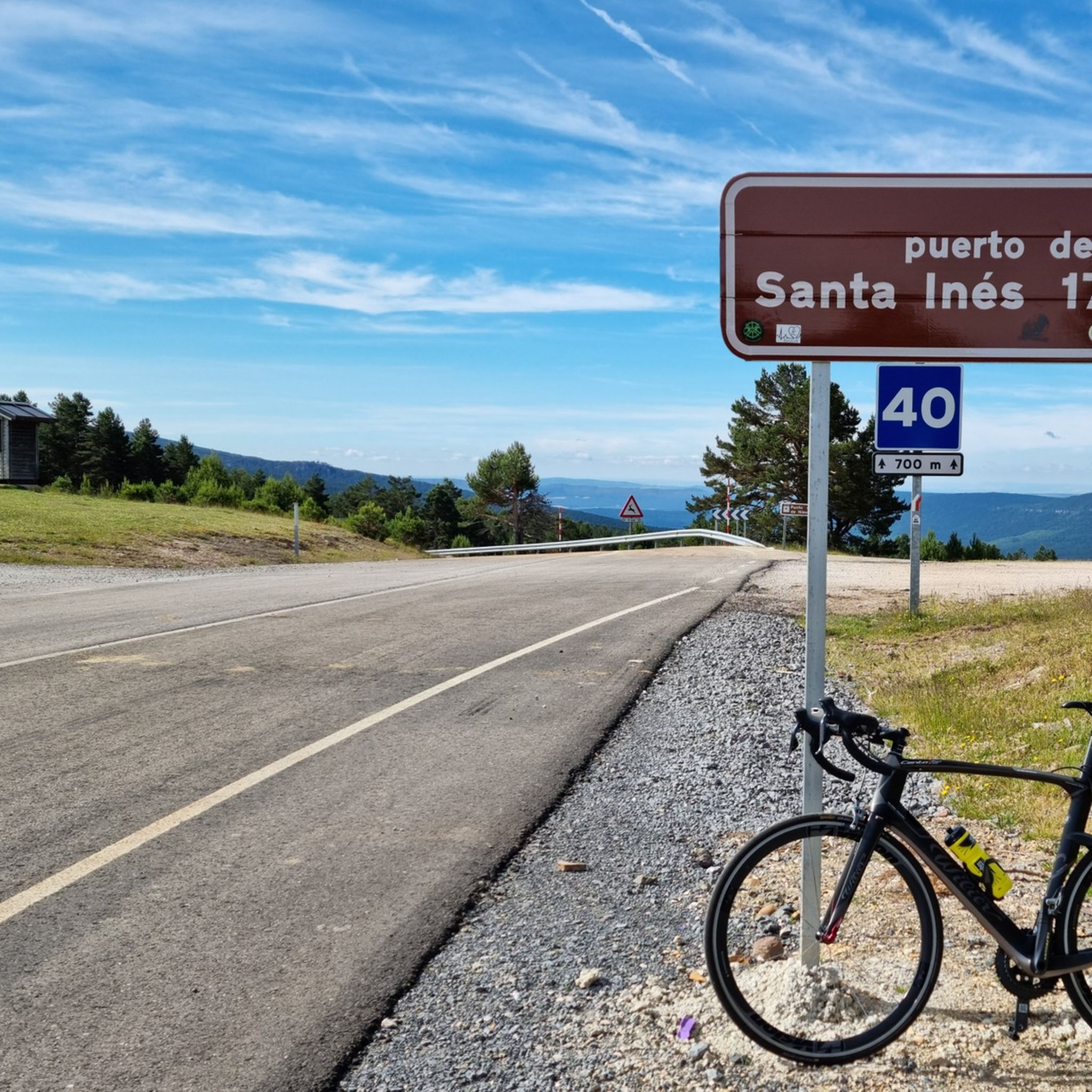
Mountain pass that reaches more than one thousand three hundred meters in height and has a length of just over seven kilometers on a four percent percentage.
1
0
It is at this point where the Cuerda del Pozo Reservoir joins the Río Duero. The road goes over the dam and where you can see both sides of the dam.
0
0

komootモバイルアプリでインスピレーションを得よう


探していたものは見つかりませんでしたか?
ソリアの下にある他のロードサイクリングルートをチェックして、目的地で完璧なルートを見つけましょう。
