セゴビアのおすすめライド
4.7
(173)
7,991
ライダー
416
ライド
このガイドでご紹介するのは、komootがセゴビアでのロードバイクルートのコレクション全体を評価して選び抜いた、このエリアの人気バイクライドです。あなたに合ったものを見つけるには、以下のルートをクリックして標高データや舗装状態の分析などの細かな情報を把握し、さらにkomootコミュニティのメンバーが投稿した役立つ情報や写真も閲覧しましょう。
最終更新日: 8月 30, 2026
4.7
(3)
562
ライダー
127km
06:44
2,320m
2,320m
難しいロードライド. 標準以上のフィットネスレベルが必要です。 全般的に舗装状態が良好で走行しやすい道です。
5.0
(20)
199
ライダー
57.0km
02:59
1,040m
1,040m
Challenge yourself on this difficult 35.4-mile road cycling route to Puerto de Navacerrada, featuring the famous "Las Siete Revueltas".

無料新規登録
35
ライダー
95.9km
05:08
1,890m
1,890m
This difficult 59.6-mile road cycling route through Sierra de Guadarrama National Park features two major mountain passes and reservoir view
22
ライダー
25.7km
01:27
570m
570m
Cycle the moderate 16.0-mile Puerto de la Quesera climb from Riaza, gaining 1874 feet through scenic Sierra de Ayllón road cycling routes.
5.0
(1)
18
ライダー
55.4km
02:32
610m
610m
This moderate 34.4-mile road cycling route from Riaza explores the scenic Sierra de Ayllón, passing through medieval Ayllón and Madriguera.
13
ライダー
48.5km
01:54
190m
180m
初級者向けロードバイクライド. あらゆるフィットネスレベルに適しています。 全般的に舗装状態が良好で走行しやすい道です。
11
ライダー
72.5km
03:24
880m
880m
中程度のロードライド. ある程度のフィットネスレベルが必要です。 全般的に舗装状態が良好で走行しやすい道です。
5.0
(1)
11
ライダー
67.5km
03:02
780m
780m
This moderate 42.0-mile road cycling route through Parque Natural Hoces del río Riaza offers stunning canyons, historic Maderuelo, and wildl
3.0
(1)
13
ライダー
51.9km
02:02
190m
190m
This moderate 32.3-mile road cycling route offers reservoir views and passes through the unique Lagunas de Cantalejo wetlands.
9
ライダー
46.1km
01:56
370m
370m
This moderate 28.6-mile road cycling route from Ayllón offers diverse landscapes, including the Natural Park of the Hoces del Río Riaza.
さらに多くのルートや他のユーザーのおすすめ情報を確認できます。
無料新規登録
すでにアカウントをお持ちですか?
おすすめのツアーは他のkomootユーザーが実際に経験した何千ものアクティビティに基づいています。
無料アカウントで今日から始めよう
次の冒険が待っています。
ログインまたは登録


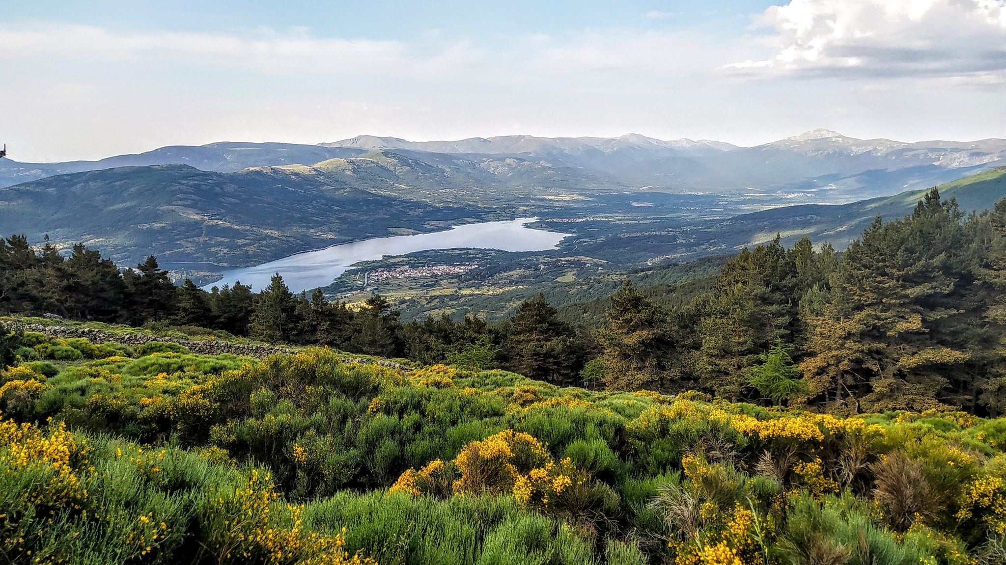
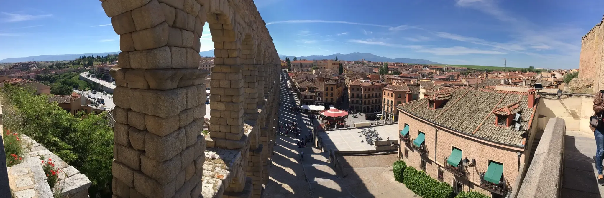
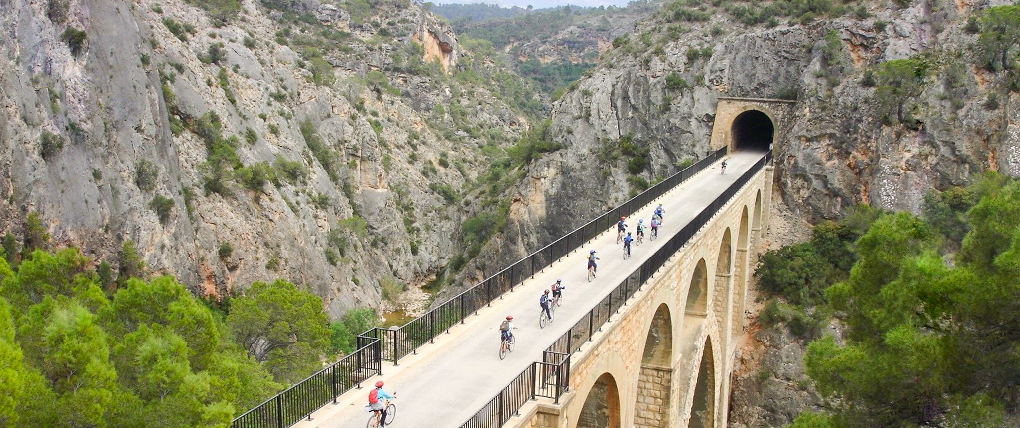
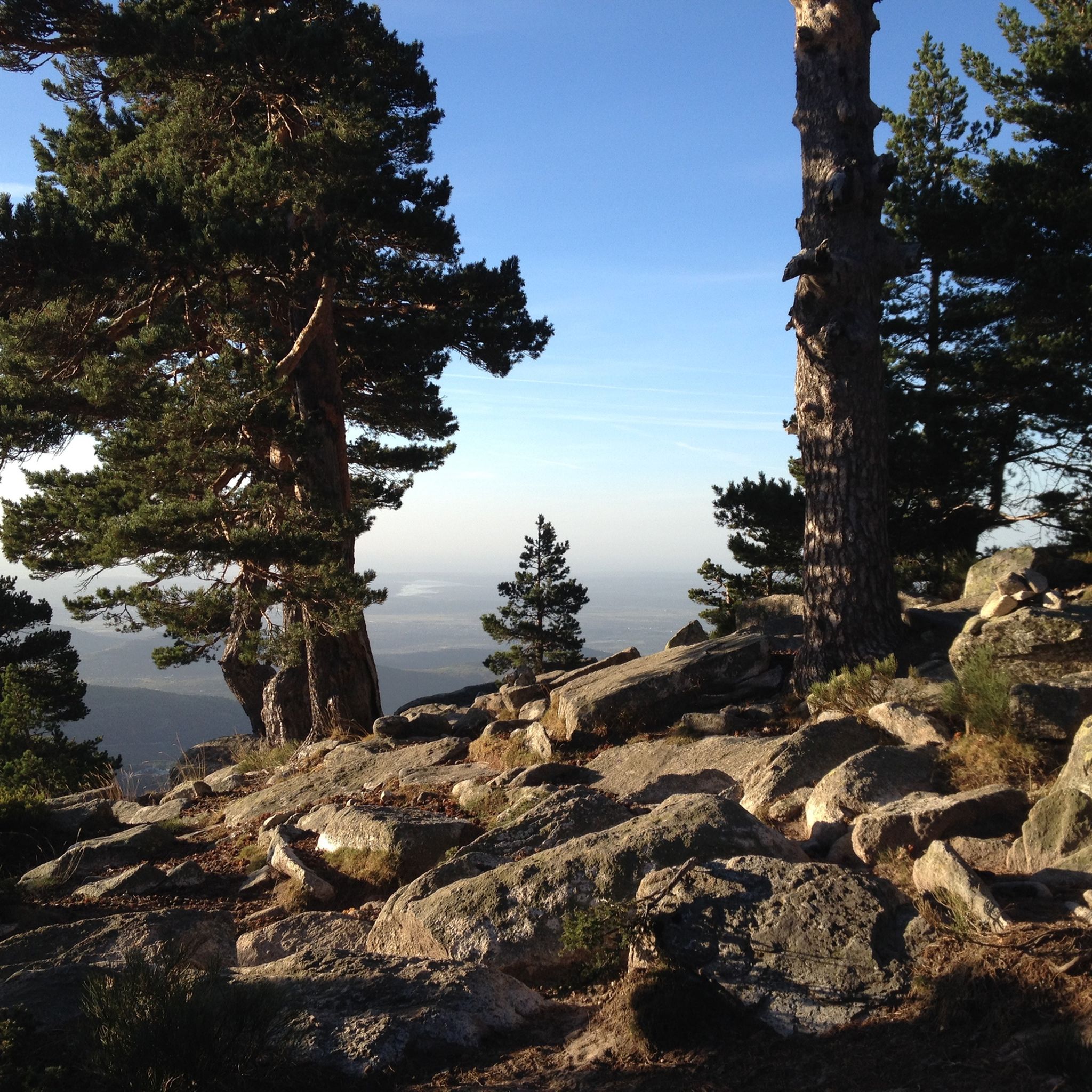
セゴビアでのの他の冒険


コミュニティからのヒント

下り坂ではアスファルトに注意してください。穴が多く、路面がかなり荒れています。上り坂では全く気にならないでしょう。
0
0

It's a classic climb in the Vuelta a España and in cyclotourism events like the Perico Delgado ride. The switchbacks section is very demanding: The first 4 km are gentle (2-3%). From the Puente de la Cantina (Cantina Bridge), ramps of 6-7% begin. Between km 6 and 8 are the five tightest bends, almost linked together, in a wooded area. The final kilometer has a steep ramp before reaching the summit.
1
0
They are located on the Segovia side of the Navacerrada Pass, on the CL-601 road (formerly the N-601), which connects La Granja de San Ildefonso with the pass. Approximate altitude: between 1,400 m and 1,700 m. There are seven hairpin bends that traverse the foothills of the Sierra de Guadarrama mountain range. Total length of the pass on this side: 13.6 km, with a 669 m elevation gain and an average gradient of 4.9%. The steepest ramps are in the switchbacks, with gradients of 6-8% and occasional sections reaching 9%. Summit at the Navacerrada Pass (1,856 m).
1
0
The name comes from the stone boundary markers erected in the 18th century to demarcate lands acquired by Charles III for hunting. During the Spanish Civil War, it was a strategic area with a Republican detachment stationed there. It formerly housed the Valcotos ski resort, which no longer exists.
1
0

The Siete Revueltas are one of the most iconic sections of the road that ascends to the Navacerrada Pass. This section consists of seven hairpin bends, one after the other, marking the final and toughest part of the climb from the Segovia side.
0
0
There's a fountain as you reach the top on the right. Follow the cobblestone path.
0
1

Place between Segovia and Guadalajara that is the starting point for many routes.
0
0

Information about the “Acueducto de Segovia” and many more photos can be found in the corresponding hiking highlight at => https://www.komoot.com/de-de/highlight/4225055
3
0

komootモバイルアプリでインスピレーションを得よう


