ノルトラインヴェストファーレン州の絶景の山頂・トップ20
絶景を目指して登るのであれ、達成感のために登るのであれ、山頂を訪れることで、ノルトラインヴェストファーレン州の美しい自然をもっと満喫することができます。20
もの選択肢の中から、制覇する山頂を決めるのは簡単ではありません。スムーズに次の冒険で目指す山頂を選べるように、ノルトラインヴェストファーレン州の素晴らしい山頂をこのガイドにまとめました。
最終更新日: 8月 30, 2026
ドラッヘンフェルス城跡
ハイライト • 城
翻訳者 Google •
役立つ情報 は

カーレル・アステン
ハイライト • 山頂
翻訳者 Google •
役立つ情報 は

今すぐサインアップして、こんな場所を発見しよう
最高のシングルトラック、ピーク、その他のエキサイティングなアウトドアスポットのおすすめを受け取ろう。
無料新規登録
獅子城跡
ハイライト • 城
翻訳者 Google •
役立つ情報 は

ジークフリート説教壇
ハイライト • 展望台
翻訳を表示中
役立つ情報 は

ステンツェルベルクの岩石群
ハイライト • 自然記念物
Geologically, the Stenzelberg is a …
翻訳者 Google •
役立つ情報 は

リッピシェ・フェルマーストット
ハイライト • 山頂
翻訳者 Google •
役立つ情報 は

遠くにドラッヘンブルク城
ハイライト • 展望台
翻訳者 Google •
役立つ情報 は

ドラッヘンフェルスの眺め
ハイライト • 展望台
翻訳者 Google •
役立つ情報 は

フェルトシュタイン(ブルクハウザー・シュタイネ)
ハイライト • 山頂
翻訳者 Google •
役立つ情報 は

ファールセルベルクの三国国境
ハイライト • 記念碑
翻訳者 Google •
役立つ情報 は

無料でサインアップして、さらに多くの山を発見しましょう ノルトラインヴェストファーレン州での。
無料新規登録
すでにアカウントをお持ちですか?
無料アカウントで今日から始めよう
次の冒険が待っています。
ログインまたは登録
ノルトラインヴェストファーレン州周辺で人気

ドイツを周りをトライアスロン

European Divide Trail — 7,600 km across the continent
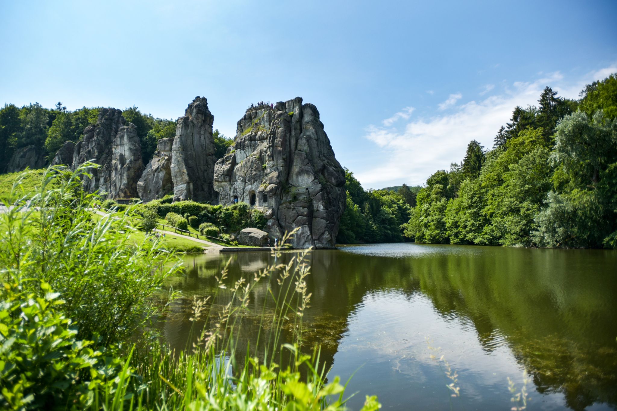
なはメースランドの脱名のシェールドアルドルームの関方
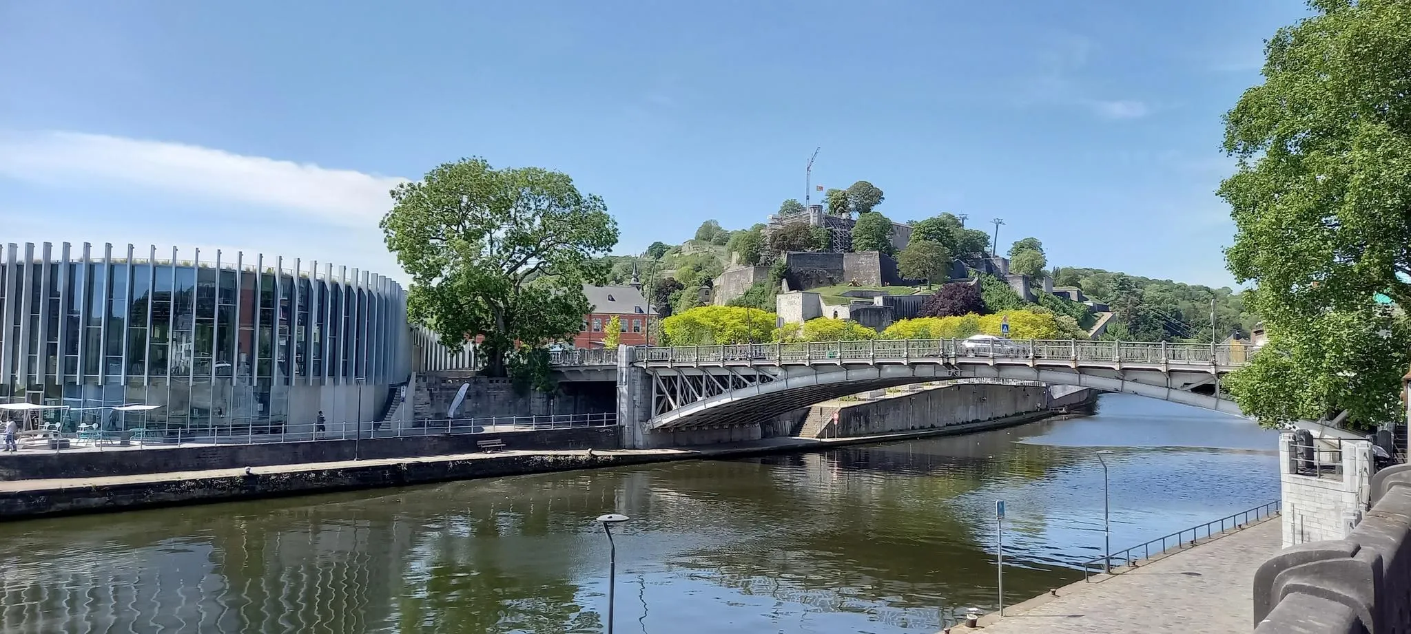
ユーロヴェロ3号線 — ベルギーの中心部を巡る冒険
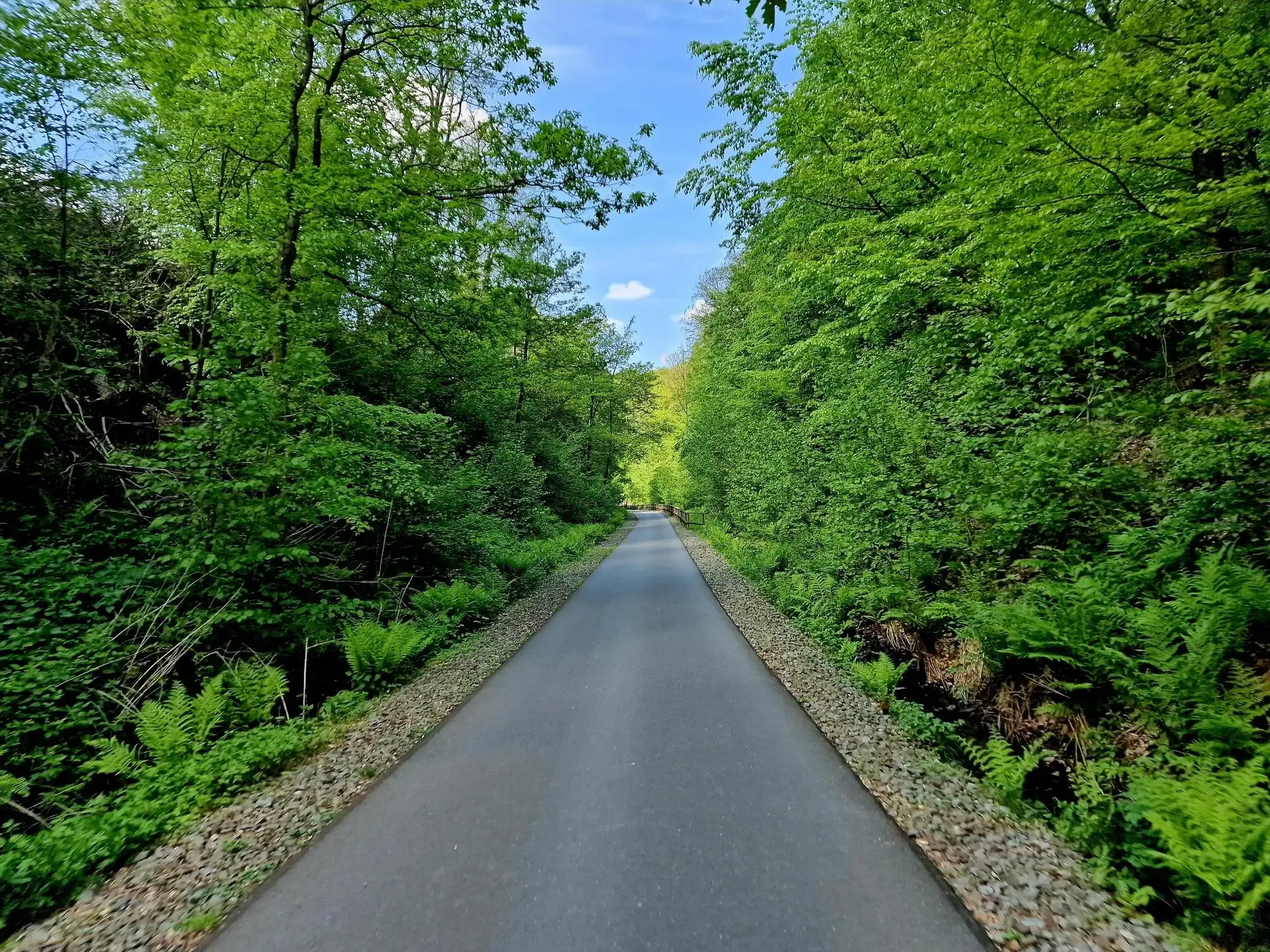
ウルトラマラソン3日間のノートル・ライン=ヴェストファーレンの中心にあるWHEW 100
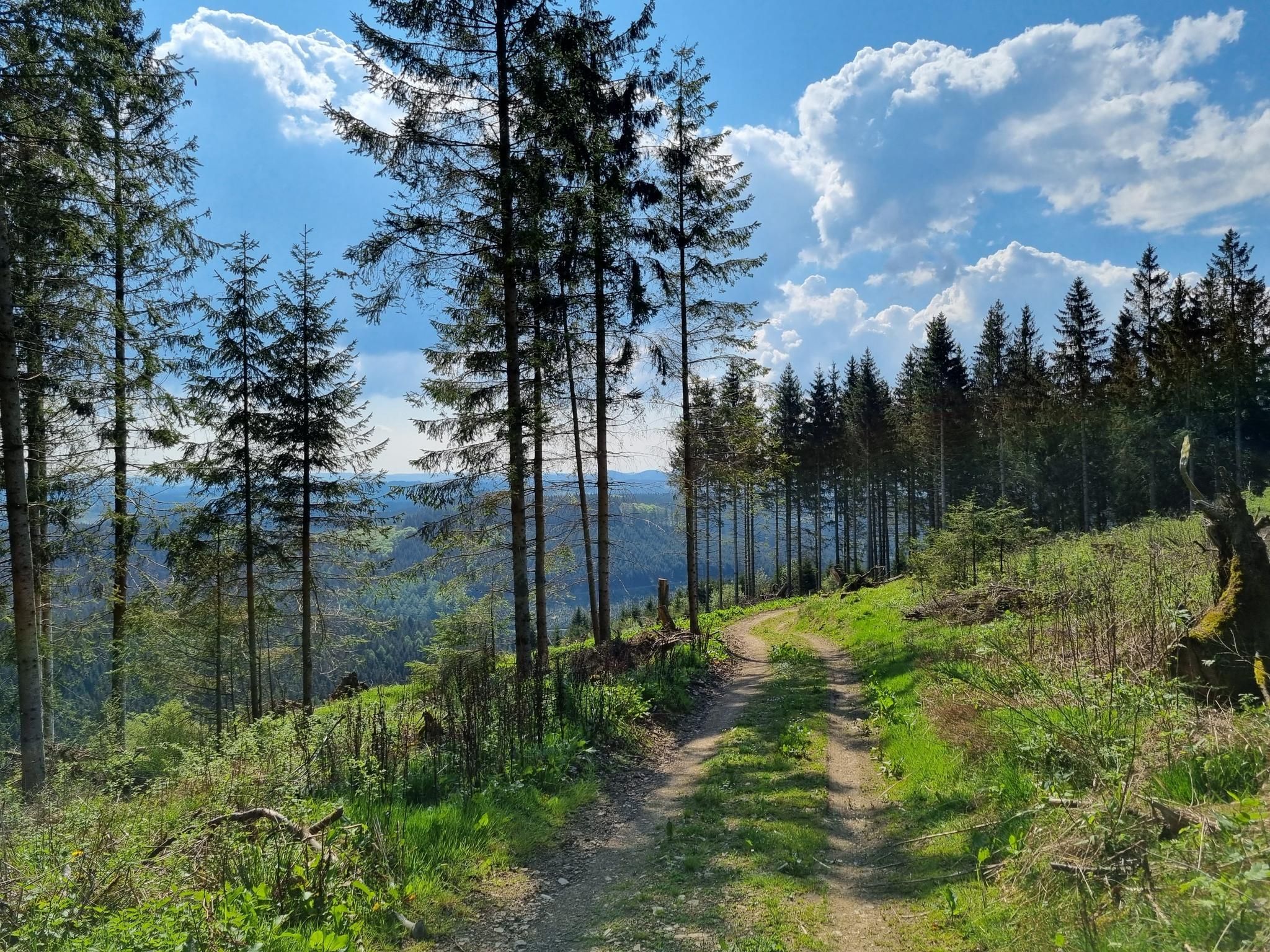
西ザウアーランドを歩いて回る - エムゼンベーク
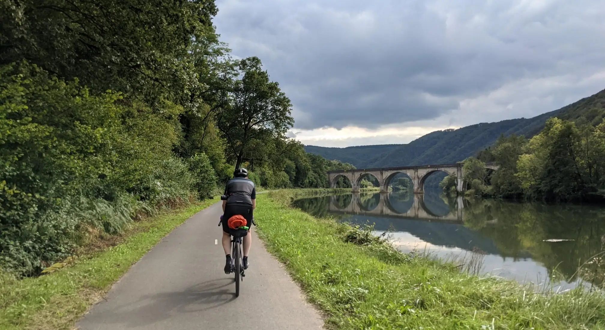
アルデン・ムーズ・シャンパンヨーロッパツーリング - アーヘンからレーンまで
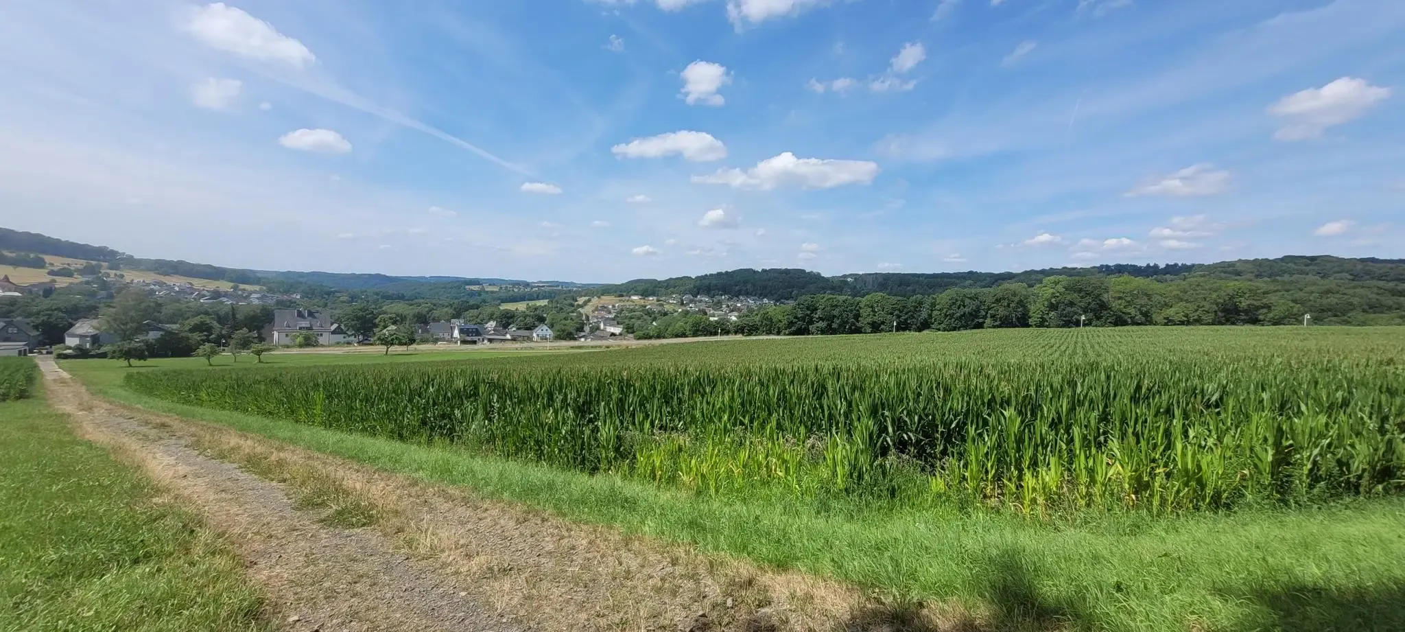
Cologne Trailのストャージのは地生を見ています
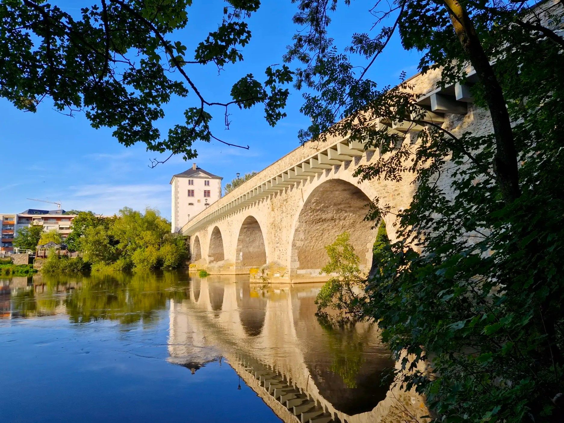
ラーンの源から潮口まで - Lahnwanderweg Trail
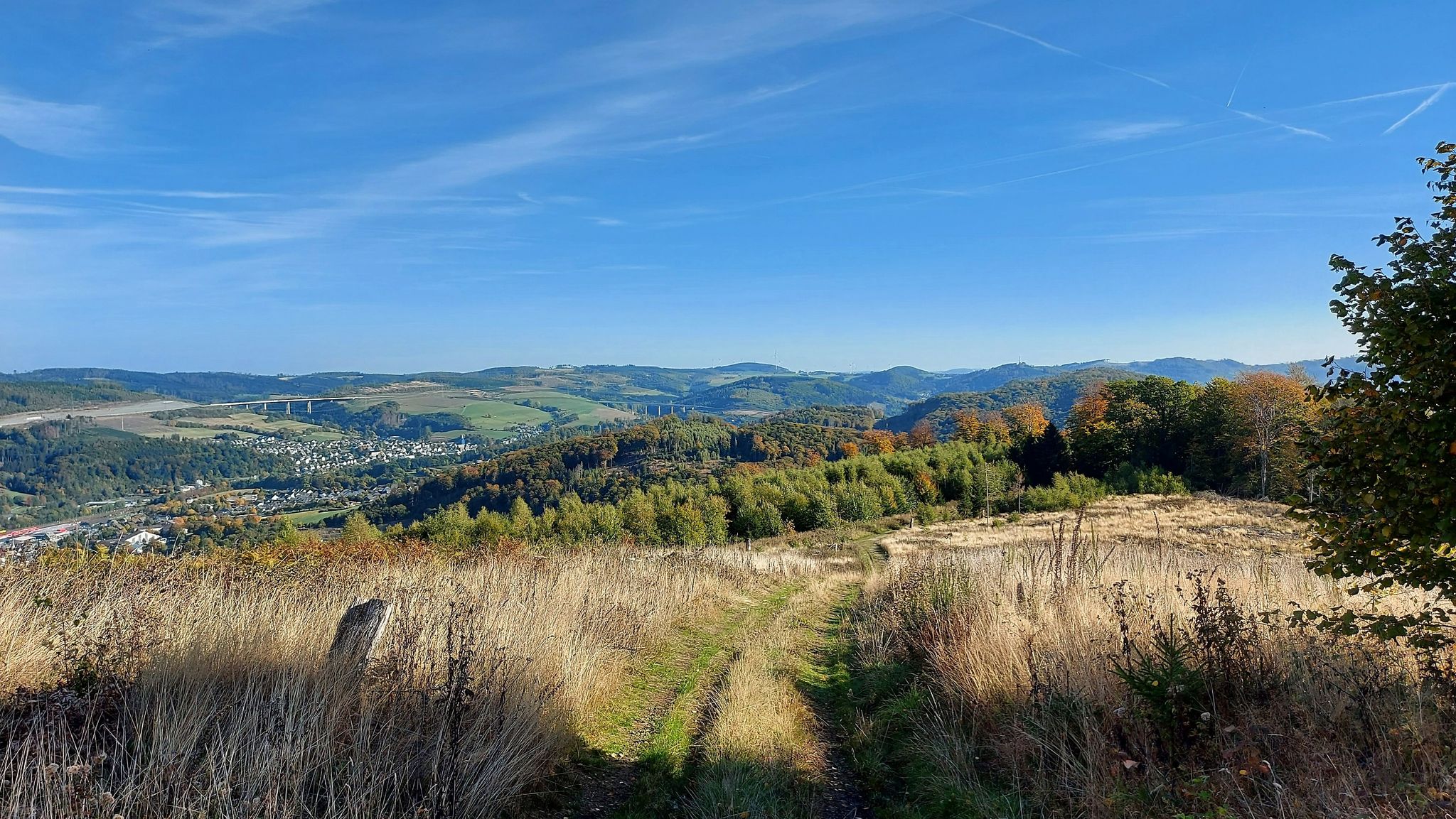
4日のザウエルランド眺め - Bestwig Panorama Trail
ノルトラインヴェストファーレン州でのの他の冒険


コミュニティからのヒント

The highest point in the Netherlands coincides with the three-country point and is an important tourist attraction.
21
0

As early as the late Middle Ages, the border of the former Aachen Empire, fortified with the Aachen Moat, ran from south to north across the ridge of the Vaalserberg. From 1839 to 1919, the Vaalserberg, with the disputed area of Neutral Moresnet as the fourth country, was even a four-country corner (Vierlandenpunt), which is still remembered in the name of the access road on the Dutch side - Viergrenzenweg. During the First World War, from 1915 to 1918, the high-voltage border barrier stretched along the Belgian-Dutch border for a length of 300 kilometers from the then four-country corner on the Vaalserberg to the Belgian North Sea coast near Knokke. The German invasion of Belgium in 1914 via Gemmenich to Diksmuide, which brought much suffering to the Belgian population, is commemorated by a memorial made of compressed war material at the southern tip of the Vaalserberg, called Via Dolorosa.
23
0

With a height of no less than 322.4 meters above NAP, the Vaalserberg is the highest mountain in the Netherlands (with the exception of the mountains in the Caribbean). So you are standing on the roof of the Low Countries! The mountain is not only known for its height, but also for the three country point you will find here; here the borders of the Netherlands, Belgium and Germany meet. In addition, there are plenty of activities for young and old on and around the top, so hang out here for a while.
14
1

The Dreiländerpunkt is probably the most frequented area at the Dreiländereck for "selfies" or the like. If you don't like tourist hype of this kind, but still want to take a photo here without umpteen other people being on it, you should come here as early as possible in the morning and not at the weekend or during the holidays...
22
0

From the vantage point at the Heinrich von Dechen monument you have a beautiful view of the Drachenburg and the Drachenfelsbahn. The benches invite you to take a break here.
9
0

Climbing on the Stenzelberg has been expressly forbidden since June 2005. Previously, the Rhein-Sieg district had tolerated climbing, although the Stenzelberg, like the entire Siebengebirge, had been designated as a nature reserve (NSG) since 1920. The climbing ban became necessary due to the new nature reserve ordinance in the course of the recognition of the Siebengebirge as FFH area 5309-301 (Fauna-Flora-Habitat) of the European Union. In particular, the occurrence of the wall lizard was concerned and egg-laying sites at the foothills of the fields were destroyed. Despite the ban, climbing continued illegally after 2005. The path to the rocks was therefore closed by the forestry department.
13
0

An absolute highlight of our hike. Just great to look at.
13
0

The Stenzelberg is geologically a spring dome from the volcanic rock Latit. The rising magma did not reach the earth's surface here, but got stuck in the surrounding tuff cover rock. The softer tuff was later eroded away, exposing the harder latite. The Stenzelberg has been used as a quarry since the 11th century, in which quartz latite rock was mined. The Heisterbach Abbey also operated a quarry on the Stenzelberg. The quarried material was also used to build the monastery buildings and the abbey church. Furthermore, rock from the Stenzelberg was used for the Propsteikirche in Oberpleis, the Nikolauskapelle in Heisterbacherrott and the Bonn Minster, and later also for the churches in Niederdollendorf, in Oberdollendorf and in Asbach. The operation of the quarry ended in 1931. Source: https://www.kuladig.de/Objectansicht/O-FJK-20100630-0032
14
0
ノルトラインヴェストファーレン州でのの人気ルート
ノルトラインヴェストファーレン州でのの人気観光スポット

komootモバイルアプリでインスピレーションを得よう


さらに探索
これらのガイドでさらに素晴らしい頂上を見てみましょうノルトラインヴェストファーレン州での:
