ロッツォラーイのおすすめランニングルート
4.2
(47)
883
ランナー
34
ランニング
ロッツォラーイでランニングを楽しめば、このエリアをより深く知ることができます。ランニングに適した美しいルートが見つかるように、komootがロッツォラーイでのルートのコレクション全体を評価して選び抜いた、人気ランニングトレイルをご紹介します。ルートをクリックして詳細を表示し、他のユーザーがアップロードした役立つ情報や写真を閲覧しましょう。
最終更新日: 10月 25, 2026
4.5
(6)
63
ランナー
11.5km
01:16
40m
40m
中程度のジョギング. ある程度のフィットネスレベルが必要です。 ほとんどが舗装路です。
46
ランナー
7.66km
00:53
20m
20m
中程度のジョギング. ある程度のフィットネスレベルが必要です。 ほとんどが舗装路です。

3.0
(1)
55
ランナー
4.61km
00:30
20m
20m
初級者向けランニング. ほとんどが舗装路です。
4.0
(1)
63
ランナー
8.46km
00:54
40m
40m
中程度のジョギング. ある程度のフィットネスレベルが必要です。 ほとんどが舗装路です。
4.0
(1)
32
ランナー
4.57km
00:30
50m
50m
初級者向けランニング. ほとんどが舗装路です。
さらに多くのルートや他のユーザーのおすすめ情報を確認できます。
すでにアカウントをお持ちですか?
おすすめのツアーは他のkomootユーザーが実際に経験した何千ものアクティビティに基づいています。
無料アカウントで今日から始めよう
次の冒険が待っています。



コミュニティからのヒント

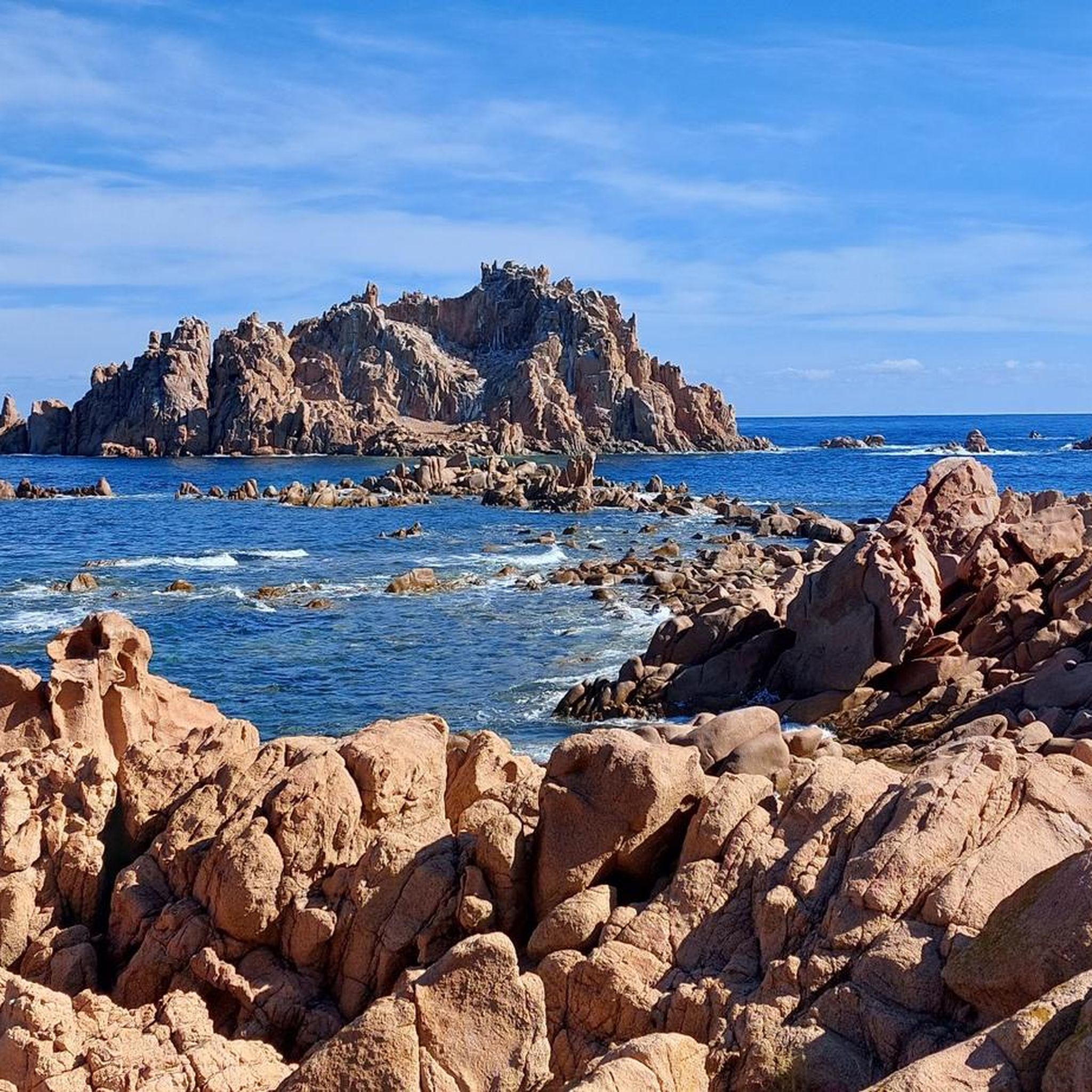
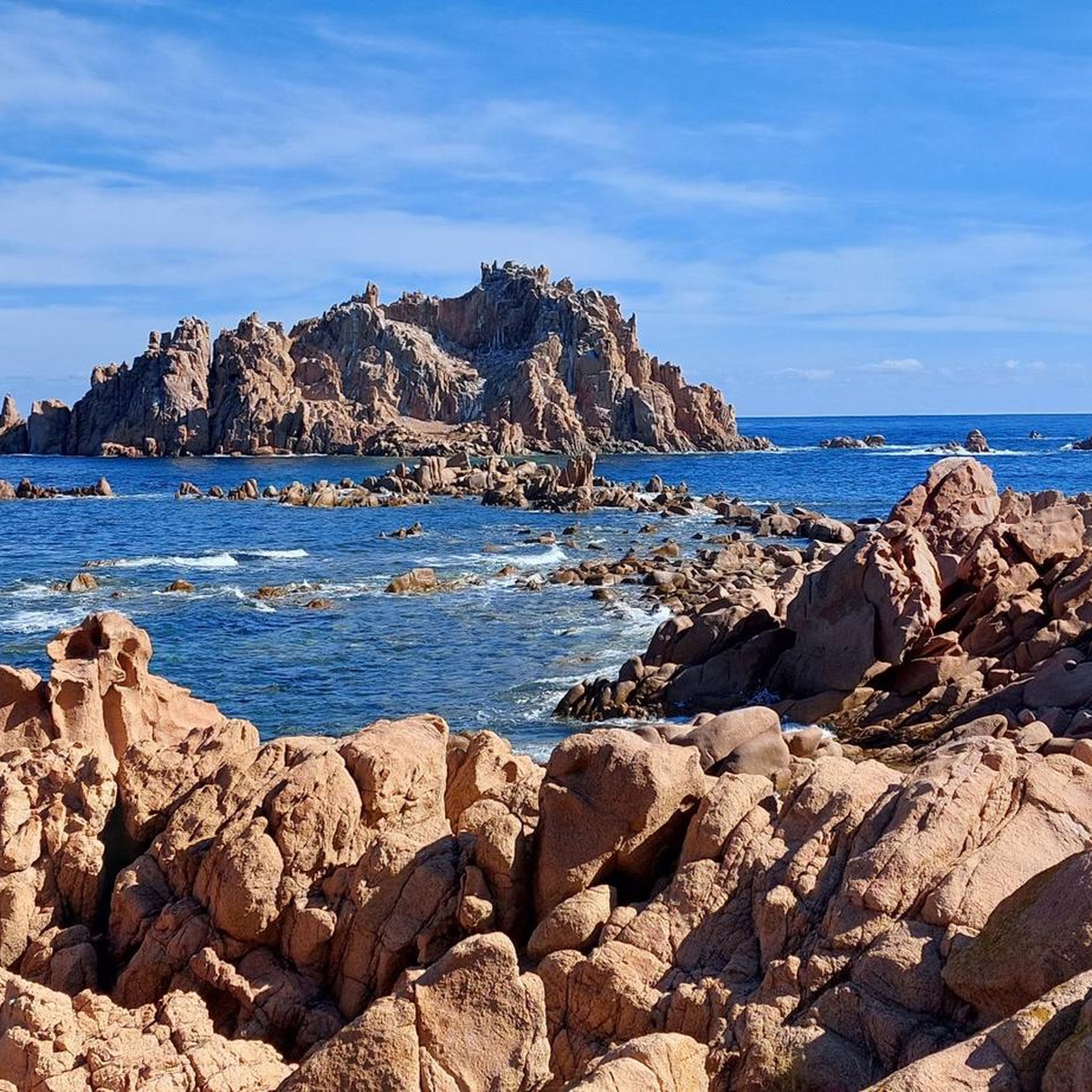
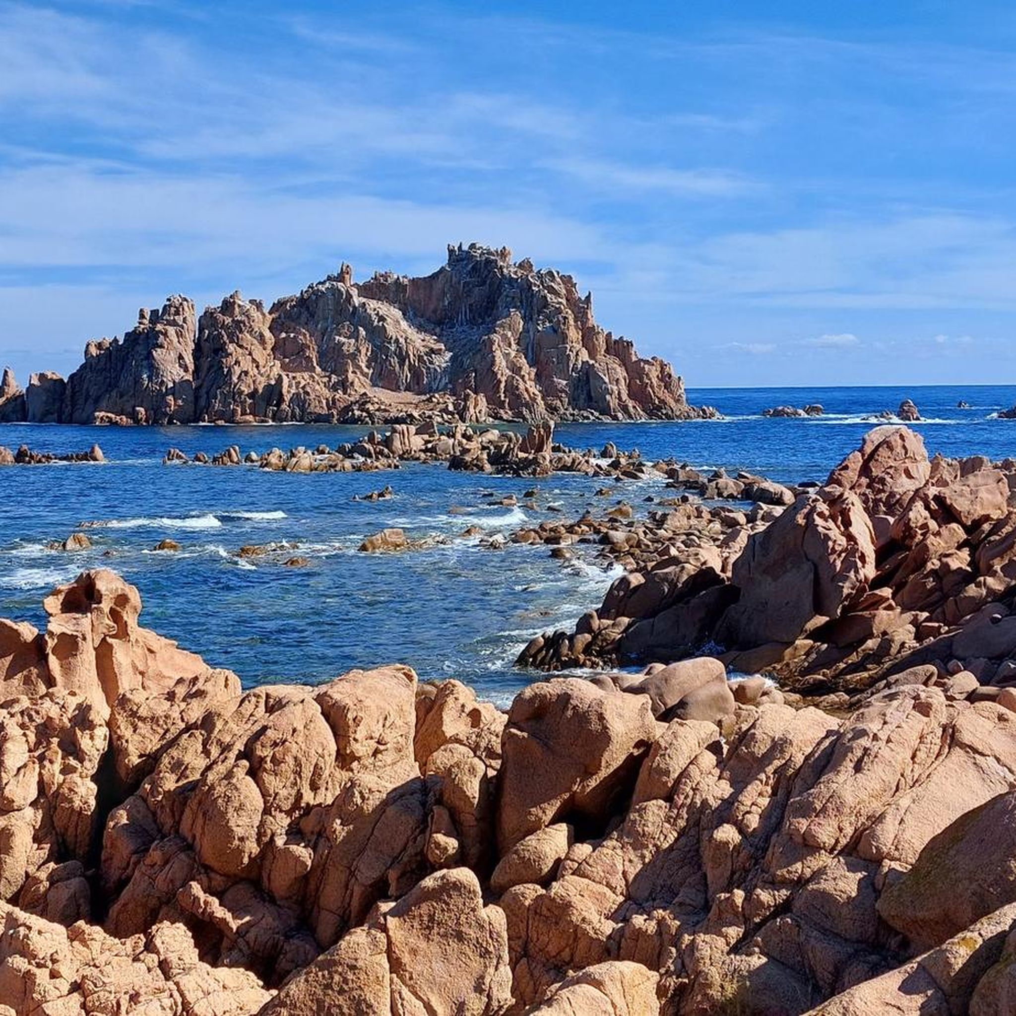
History and Origins of the Red Rocks of Arbatax The surrounding area was once a rich and profitable mine. Here, miners extracted red porphyry—from which the rocks are made—a lava stone that, at the time, was used to build and beautify the port, villages, and nearby towns.
0
0

beautiful beach there, very long and with a pine forest
0
0

In addition to bathing in this beautiful sea, on this beach in Santa Maria Navarrese you can visit the monumental olive trees.
1
0


Nice bar with a nice view of the Torre di Santa Maria Navarrese.
2
0

The Arbatax Tower, or San Miguel (St. Michael) Tower, built in the 16th century, was originally known in Arabic as "Arba a Tasciar," meaning "the fourteenth tower." This tower is believed to have given its name to Arbatax, which developed around it over time. The tower has a height of 15 meters and has several levels, including a cistern, a first floor and a parade ground. The first floor served as accommodation for the garrison soldiers and had direct access to the parade ground via an internal staircase integrated into the structure. The tower was equipped with cannons and thrusters. The current access, which includes a brick staircase with an iron railing, was built in the 19th century.
5
0


Beautiful passage in the middle of the pine forest
1
0
ロッツォラーイでのの人気観光スポット

komootモバイルアプリでインスピレーションを得よう


さらに探索
他の地域の最高のランニングトレイル & ルートを見てみましょう。
