ソルクのおすすめウォーキング&ハイキングルート
4.6
(5929)
30,528
ハイカー
62
ハイキング
ソルク 周辺でおすすめのハイキングやウォーキングを楽しんでいただけるように、このエリアの小径やルートを集めたkomootコレクション全体を見直しました。 以下で各ルートの詳細をご覧になり、ソルク周辺の大自然を満喫する際の参考にしてください。
最終更新日: 8月 30, 2026
4.9
(223)
884
ハイカー
11.6km
03:22
280m
280m
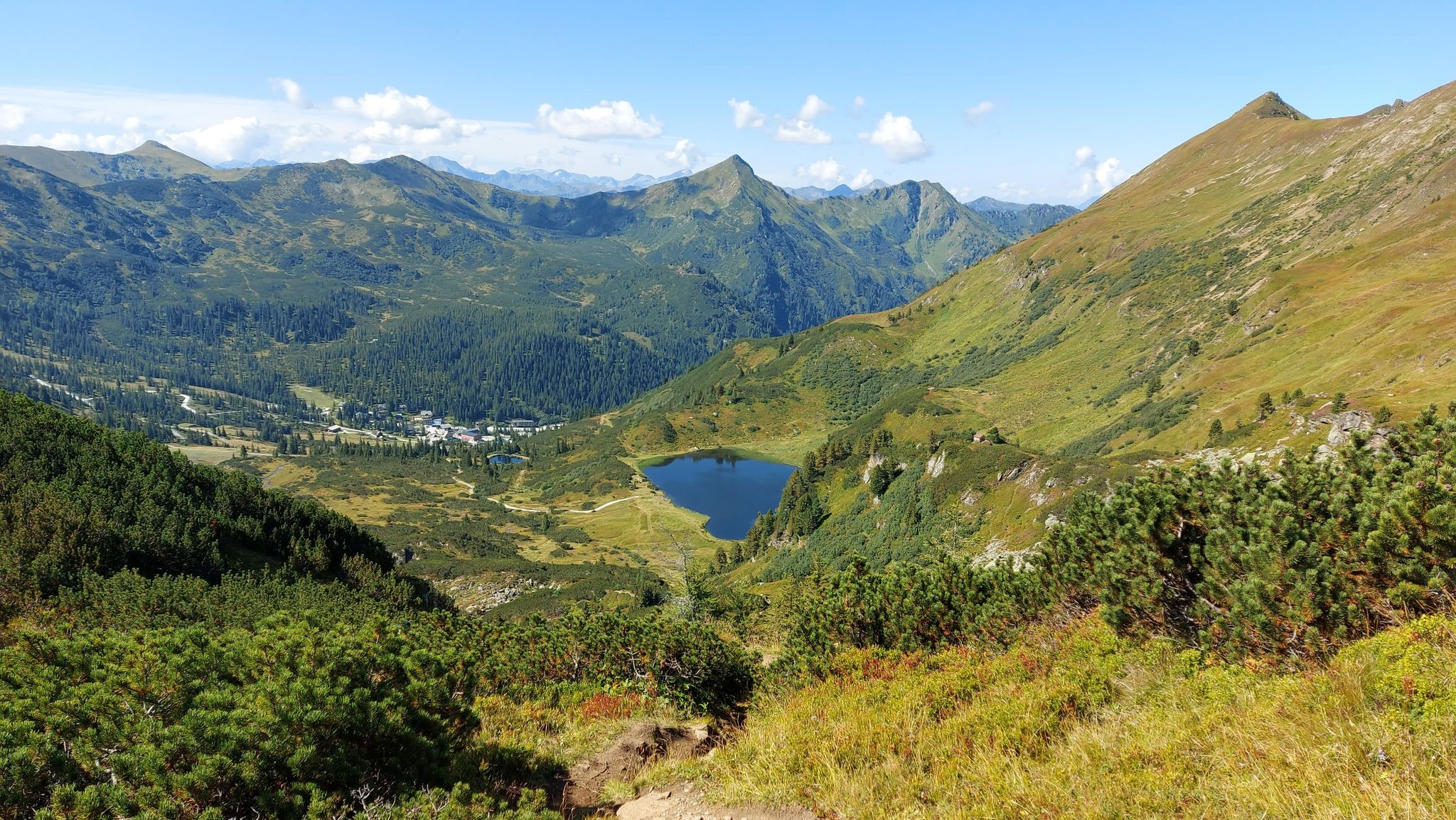
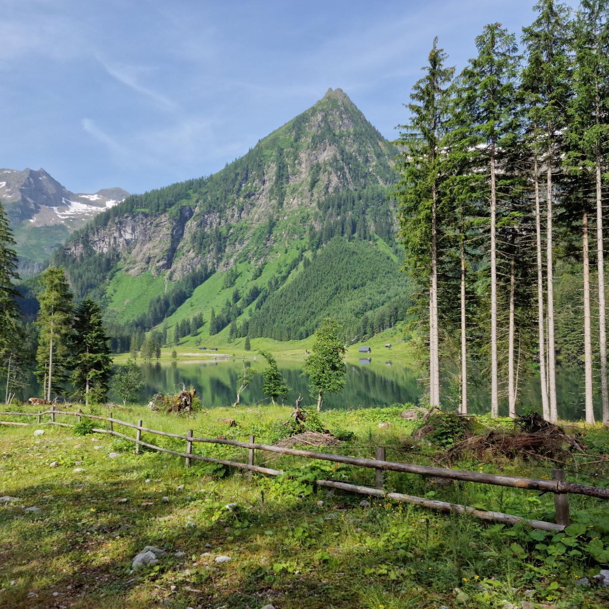
Hike to Putzentalalm in Sölktäler Nature Park offers a moderate 7.2-mile route with alpine scenery, including the picturesque Schwarzensee.
4.9
(94)
672
ハイカー
8.36km
04:36
770m
770m
This difficult 5.2-mile hike in Sölktäler Nature Park offers diverse alpine scenery, passing lakes and leading to the Deneck Summit Cross.

無料新規登録
4.8
(14)
71
ハイカー
3.89km
01:25
240m
240m
Enjoy an easy 2.4-mile (3.9 km) circular hike to Mahdfeldalm in Sölktäler Nature Park, offering rewarding views in just 1 hour and 25 minute
4.6
(7)
41
ハイカー
7.75km
02:32
380m
380m
中程度のハイキング. ある程度のフィットネスレベルが必要です。 進みやすいルートです。あらゆるスキルレベルに適しています。
5.0
(2)
12
ハイカー
17.1km
07:28
1,280m
1,280m
This difficult 10.6-mile hike to Gumpeneck summit in Sölktäler Nature Park offers panoramic views and diverse alpine scenery.
さらに多くのルートや他のユーザーのおすすめ情報を確認できます。
無料新規登録
すでにアカウントをお持ちですか?
おすすめのツアーは他のkomootユーザーが実際に経験した何千ものアクティビティに基づいています。

ソルクでのの他の冒険


コミュニティからのヒント


素晴らしいハイキング。Kaltenbachkehre (am Sölk) - 3つの湖 - Deneck - 戻る。10 km、900 hm、4:20:00 時間。(速足で)
0
0

This isn't the Duisitzkarsee, but the Schwarzensee. The Duisitzkarsee is located in the Rohrmoos-Obertal valley.
0
0

great scenery / in the evening atmosphere and autumn colors
0
0

Nice little mountain lake in front of the summit with lots of photo potential.
0
0

Fantastic view from the summit. Wonderful views of the lakes and the surrounding mountains. If you're lucky, you'll see chamois along the way. The climb to the summit requires surefootedness and sturdy hiking boots.
1
0
A summit with great views that can be easily reached from the Schönwetterhütte. It is on the way to Gumpeneck.
1
0
Very nice service! Here you can get cheese made on site. Highly recommended!
1
0

komootモバイルアプリでインスピレーションを得よう


さらに探索
他の地域の最高のハイキングを見てみましょう。
