シエールのおすすめウォーキング&ハイキングルート
4.6
(12659)
107,613
ハイカー
592
ハイキング
シエールでのハイキングに出かけて、ヴァレーのこのエリアを探索してみませんか?このガイドでご紹介するのは、komootがシエールでのハイキング・ウォーキングルートのコレクション全体を評価して選び抜いた、このエリアの人気ハイキングルートです。あなたに合った でのハイキングを見つけるには、他のユーザーがアップロードした役立つ情報や写真を閲覧し、各ルートに関するみんなの意見やコメントを参考にしましょう。
最終更新日: 10月 10, 2026
4.9
(84)
765
ハイカー
24.4km
08:25
900m
900m
難しいハイキング. 標準以上のフィットネスレベルが必要です。 安定して歩行できる技術、丈夫な靴、高標高地での登山経験が必要です。
4.9
(56)
442
ハイカー
14.3km
06:45
1,070m
1,070m
難しいハイキング. 標準以上のフィットネスレベルが必要です。 安定して歩行できる技術、丈夫な靴、高標高地での登山経験が必要です。

4.7
(59)
448
ハイカー
14.5km
04:18
430m
430m
中程度のハイキング. ある程度のフィットネスレベルが必要です。 進みやすいルートです。あらゆるスキルレベルに適しています。
4.7
(42)
244
ハイカー
14.1km
04:24
370m
380m
難しいハイキング. ある程度のフィットネスレベルが必要です。 安定して歩行できる技術、丈夫な靴、高標高地での登山経験が必要です。
4.4
(9)
251
ハイカー
3.88km
01:04
60m
60m
初級者向けハイキング. あらゆるフィットネスレベルに適しています。 進みやすいルートです。あらゆるスキルレベルに適しています。
4.7
(20)
208
ハイカー
12.9km
04:41
750m
750m
難しいハイキング. ある程度のフィットネスレベルが必要です。 安定して歩行できる技術、丈夫な靴、高標高地での登山経験が必要です。
4.4
(16)
147
ハイカー
19.6km
07:48
930m
940m
難しいハイキング. 標準以上のフィットネスレベルが必要です。 全般的に進みやすいルートです。安定して歩行できる技術が必要です。
4.0
(8)
110
ハイカー
13.6km
04:59
700m
690m
中程度のハイキング. ある程度のフィットネスレベルが必要です。 全般的に進みやすいルートです。安定して歩行できる技術が必要です。
4.7
(19)
113
ハイカー
5.39km
01:53
220m
220m
難しいハイキング. あらゆるフィットネスレベルに適しています。 安定して歩行できる技術、丈夫な靴、高標高地での登山経験が必要です。
5.0
(5)
70
ハイカー
20.4km
10:02
1,500m
1,500m
難しいハイキング. 標準以上のフィットネスレベルが必要です。 安定して歩行できる技術、丈夫な靴、高標高地での登山経験が必要です。
さらに多くのルートや他のユーザーのおすすめ情報を確認できます。
すでにアカウントをお持ちですか?
おすすめのツアーは他のkomootユーザーが実際に経験した何千ものアクティビティに基づいています。
無料アカウントで今日から始めよう
次の冒険が待っています。
シエール周辺で人気
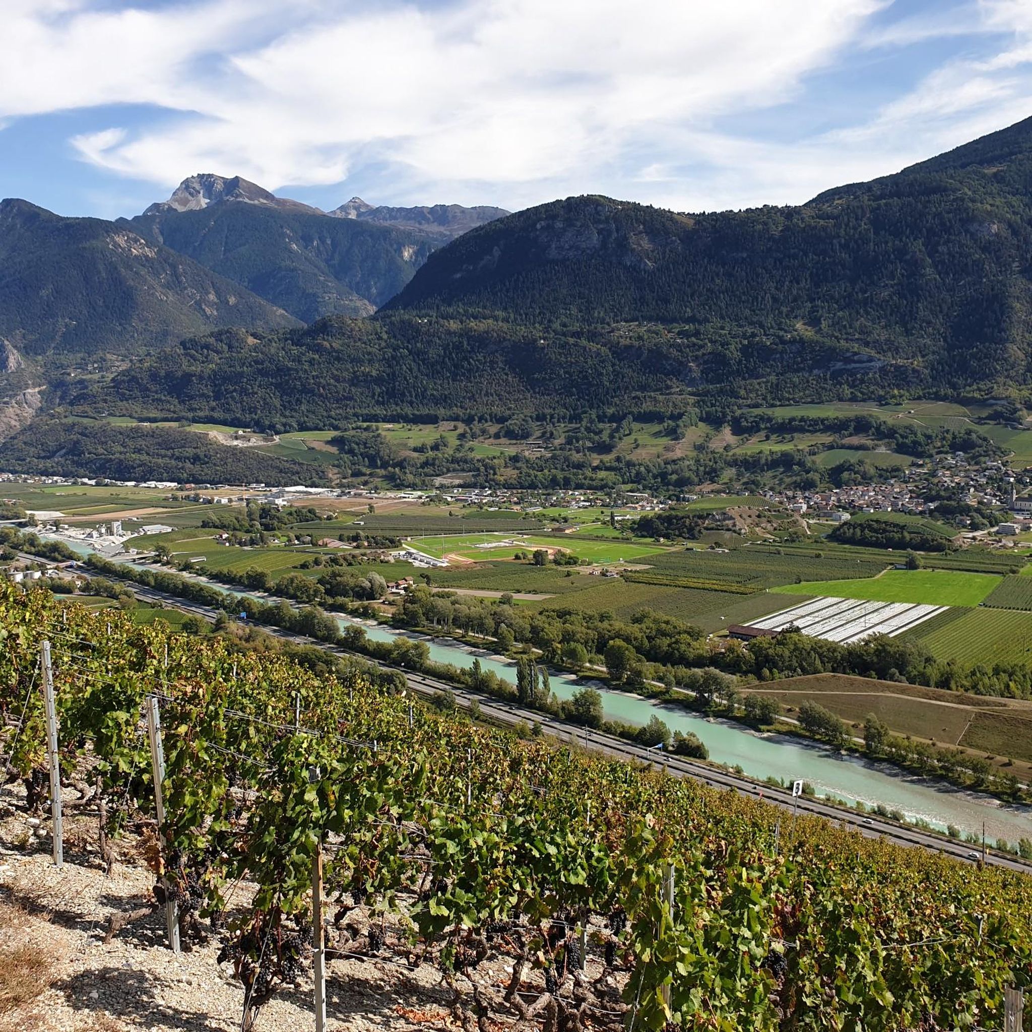
サイダーでのハイキング
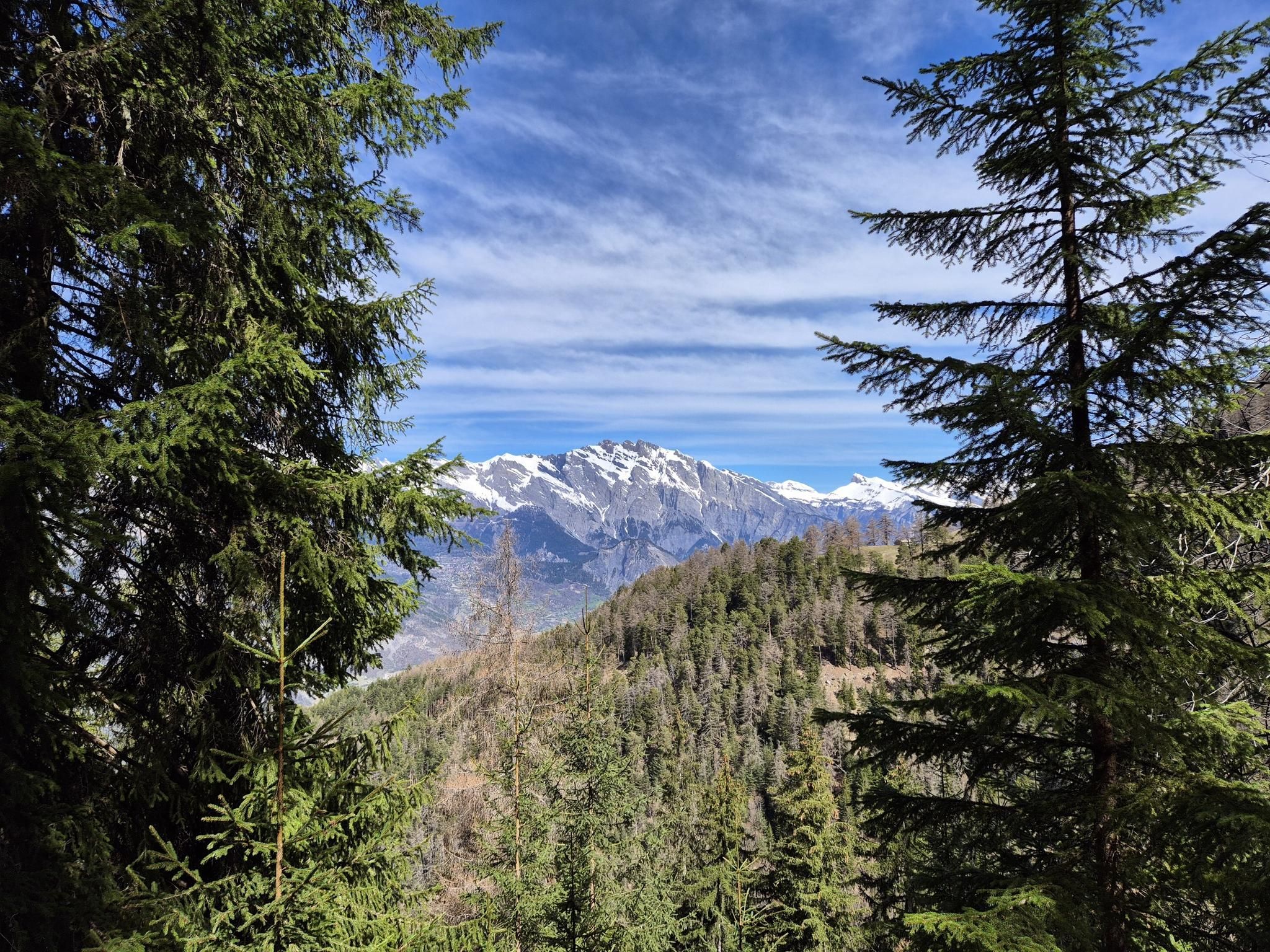
究極のアルパイン・アドベンチャー - ウォーカーズ・オート・ルート

Alpine Passes Trail - サウファーシラールトリアルド 700km インスラールト

純粋な山の楽しみの34ステージ - スイスのアルプス山峠トレイルでハイキング
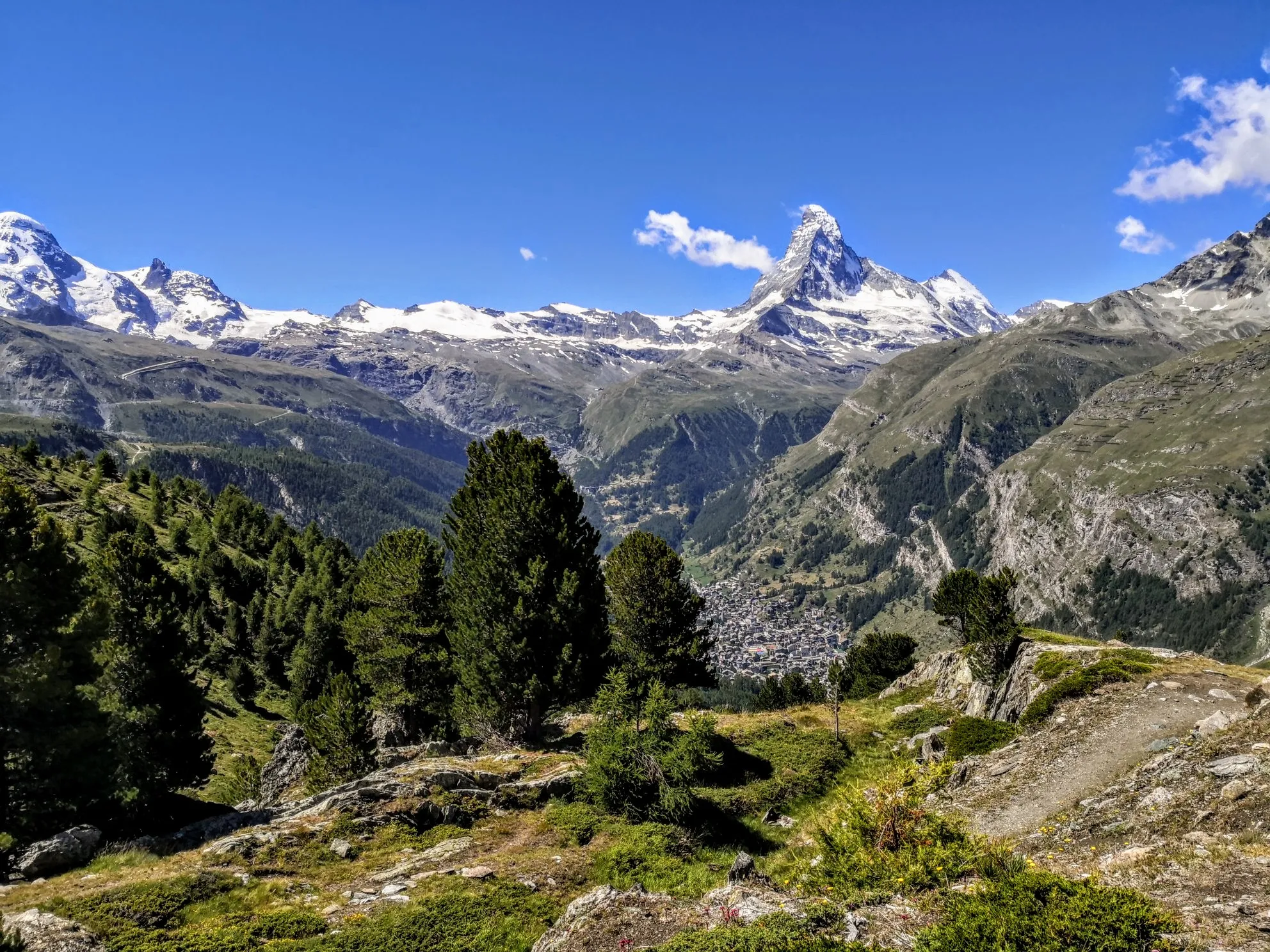
ヴァレー州の聖なる水 - ル・シュマン・デ・ビッス(Le Chemin des Bisses
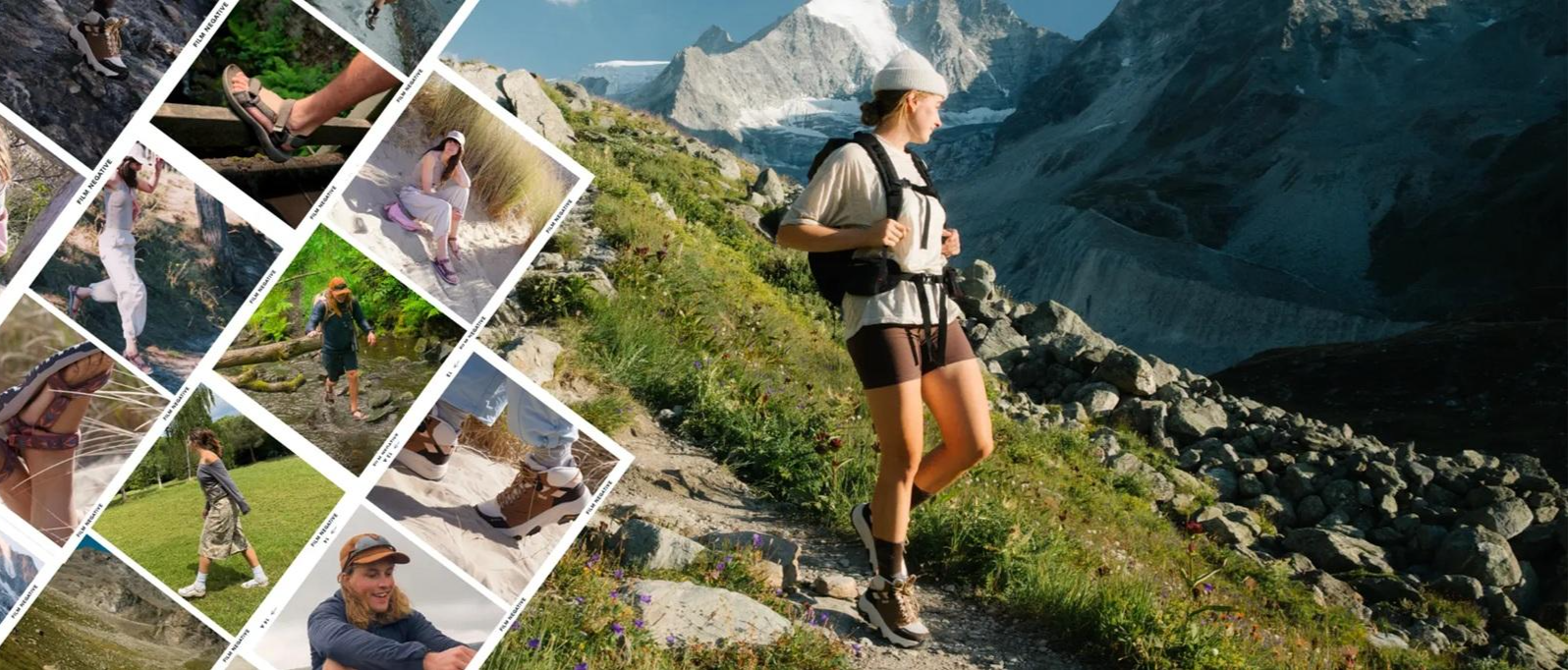
Teva Playground Explorers: Adventures Mapped by Us. Made for You.
人生の明るい側 - バレー・ソン・トレイルをハイキング
The closest place to the sun in Switzerland – multiday Tours in Valais
High altitude hikes in Vallois – Blogger Hike Challenge 2019
Valais — Making the mountain your home
シエールでのの他の冒険


コミュニティからのヒント


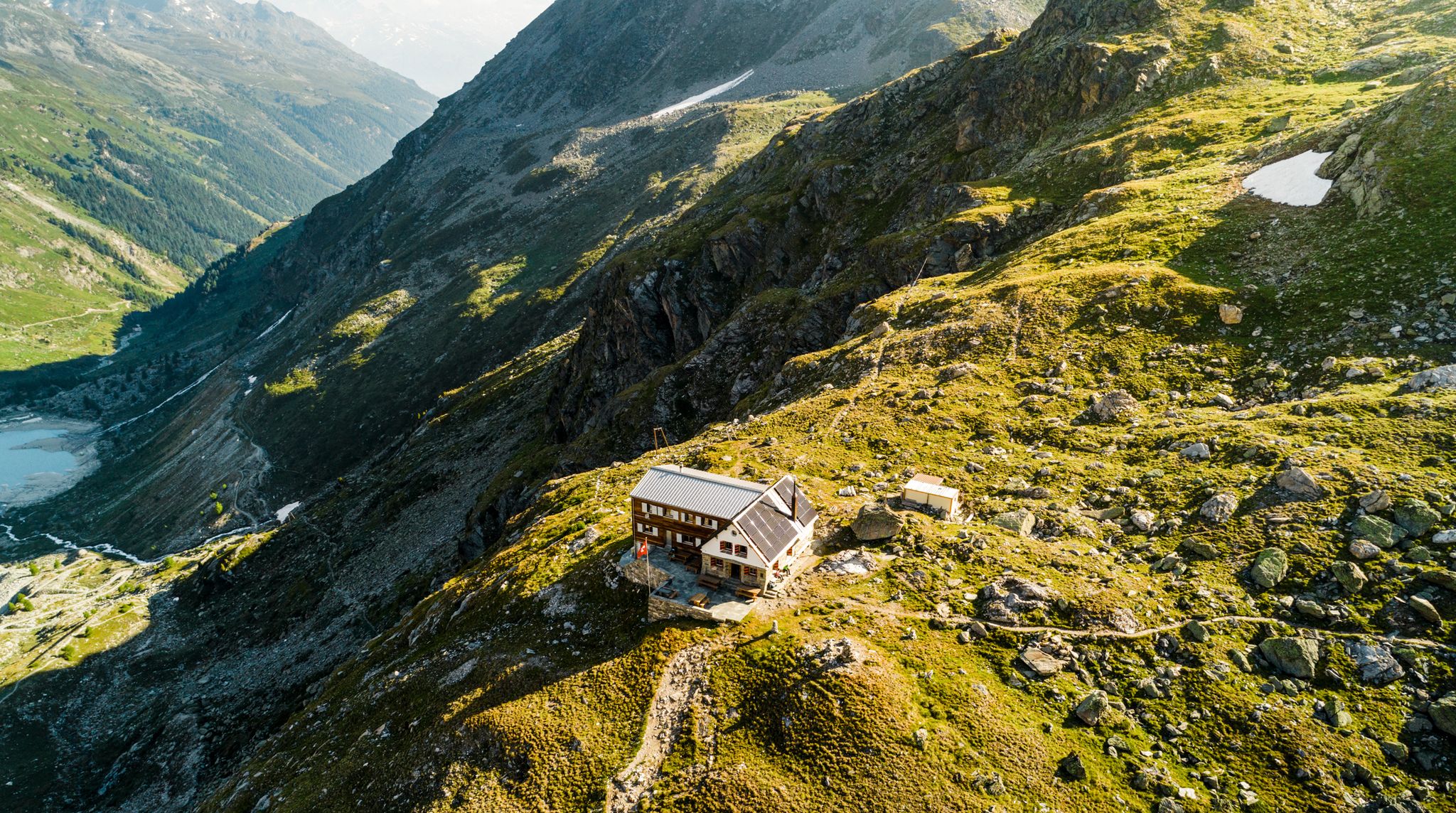
美しい山小屋と、とても親切で親切な小屋の管理人、美味しい基本的な料理が屋外で提供されます。外にはヴァイスホルン山群の氷河の世界の素晴らしい眺めがあります。長い登り(Zinalからlac de l'Arpetitazを経由:氷のように冷たい水での水泳は素晴らしいです!)はそれだけの価値があります!
0
0


I did this hike in early May 2024, just a few days after the ski season was over and the slopes had closed. The valley was completely deserted and it felt magical! The peaks were still covered in snow, but the first signs of spring were beckoning. On the final stretch to Lac d'Arpitetta, I was wading through snow up to my knees. Without proper gear I couldn’t get any farther than the small lake. The view on that crystal-clear spring day was absolutely fantastic! Check the picture I uploaded with all the peak names added.
0
0

A great hike along the large Bisse, with a constant great view of the Rhone Valley. All dangerous spots are secured. However, you shouldn't be afraid of heights.
4
0

Magnificent views on this hike. You can do the loop in both directions, the difficulty is there.
1
0

The bridge was destroyed in the flood in June 2024. A wooden bridge was built a little way upstream. That means about a half hour detour, but you can cross the river dry-footed and the area is just great, so the few extra steps don't matter.
2
0

komootモバイルアプリでインスピレーションを得よう


探していたものは見つかりませんでしたか?
シエールの下にある他のハイキングをチェックして、目的地で完璧なルートを見つけましょう。
さらに探索
他の地域の最高のハイキングを見てみましょう。
